About us
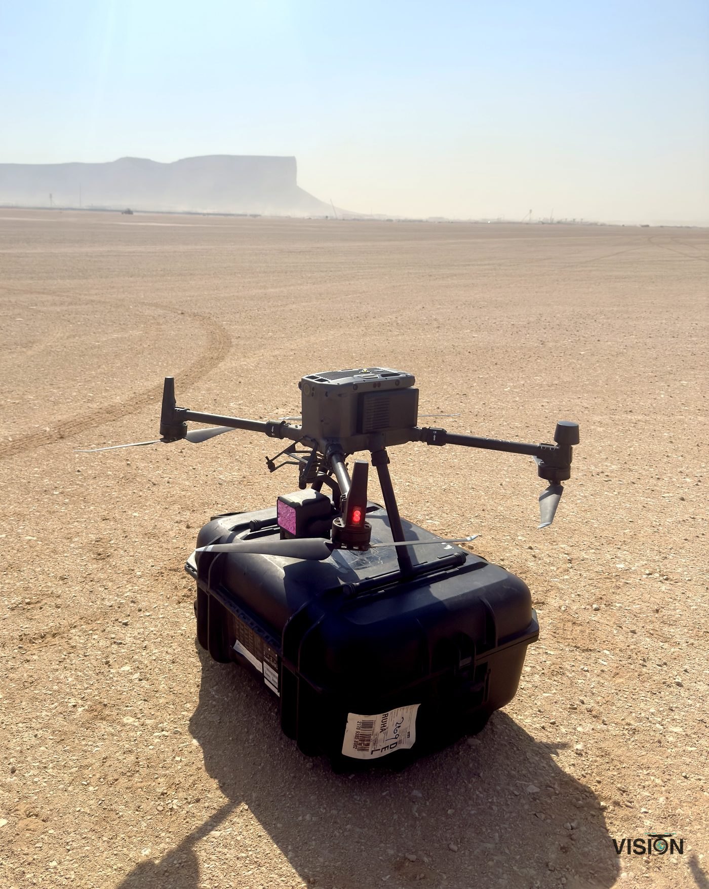
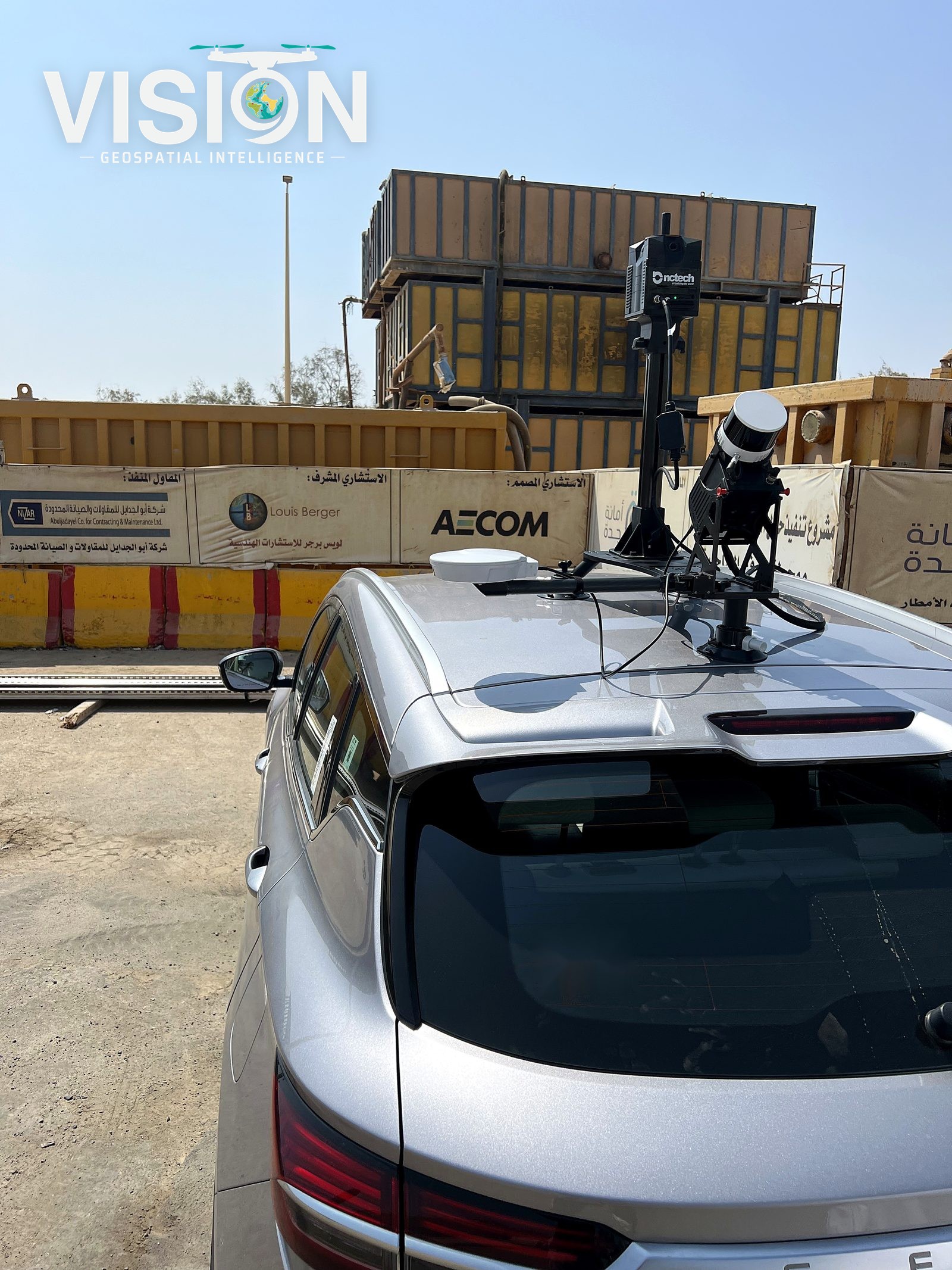
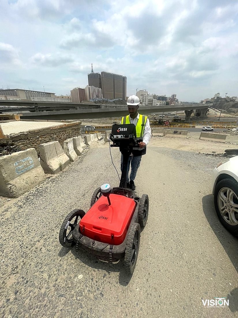
VISION is a Saudi geospatial engineering firm, serving engineering and development projects in every region of the Kingdom. Our work brings together three disciplines: spatial analysis with satellite data and GIS, land and aerial surveying with drones and LiDAR, and 3D documentation of buildings and assets with laser scanning and BIM.
By combining these disciplines, we provide development organizations, engineering firms and contractors with geodatabases, maps and models that support projects from early studies through construction and operation.
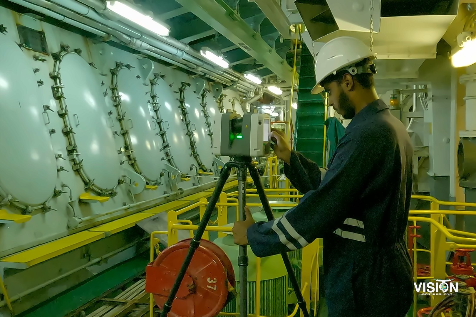
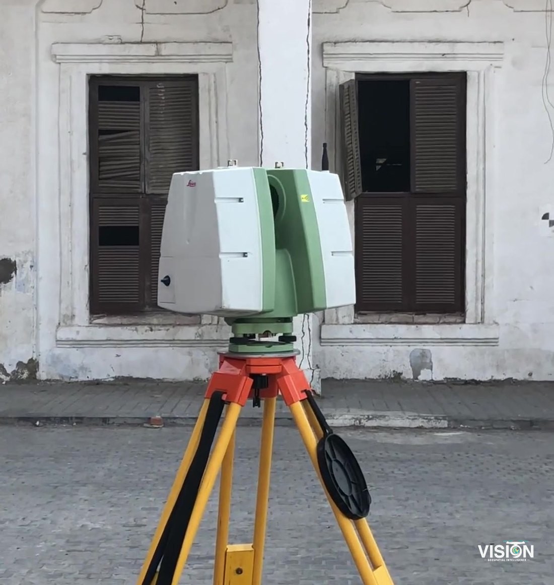
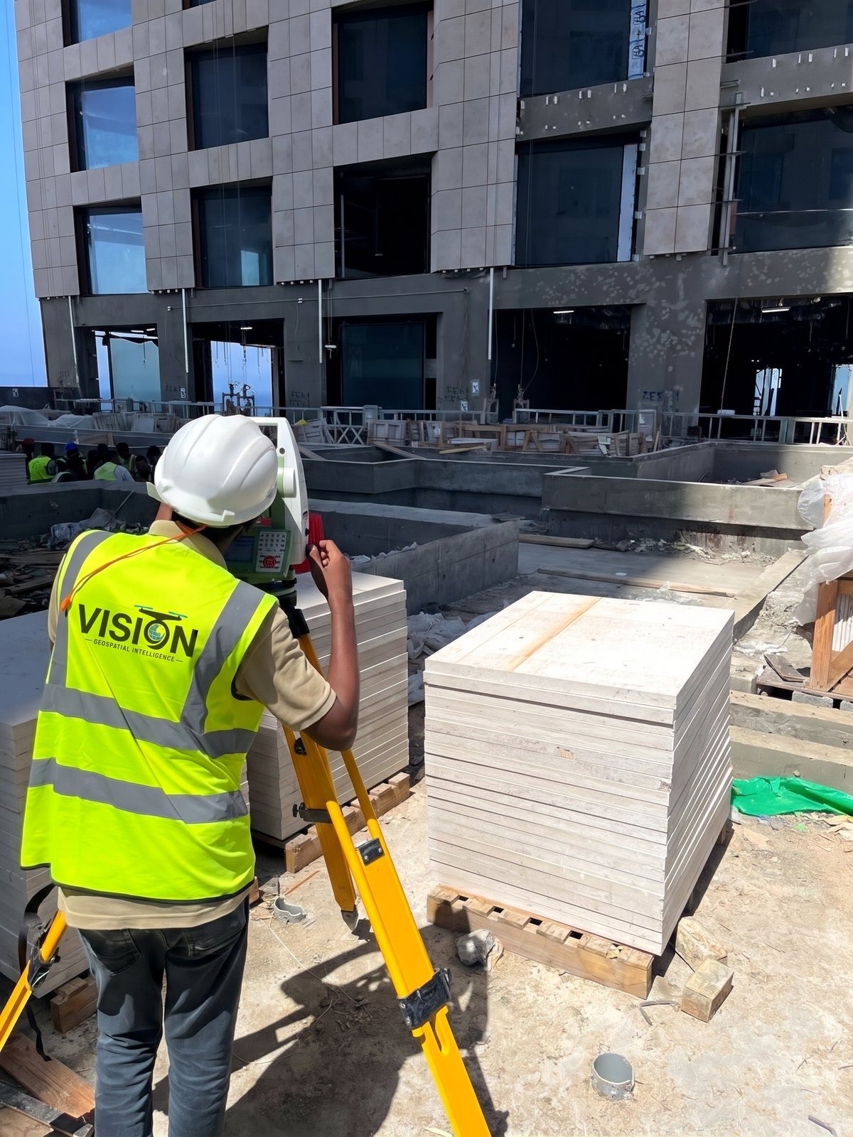
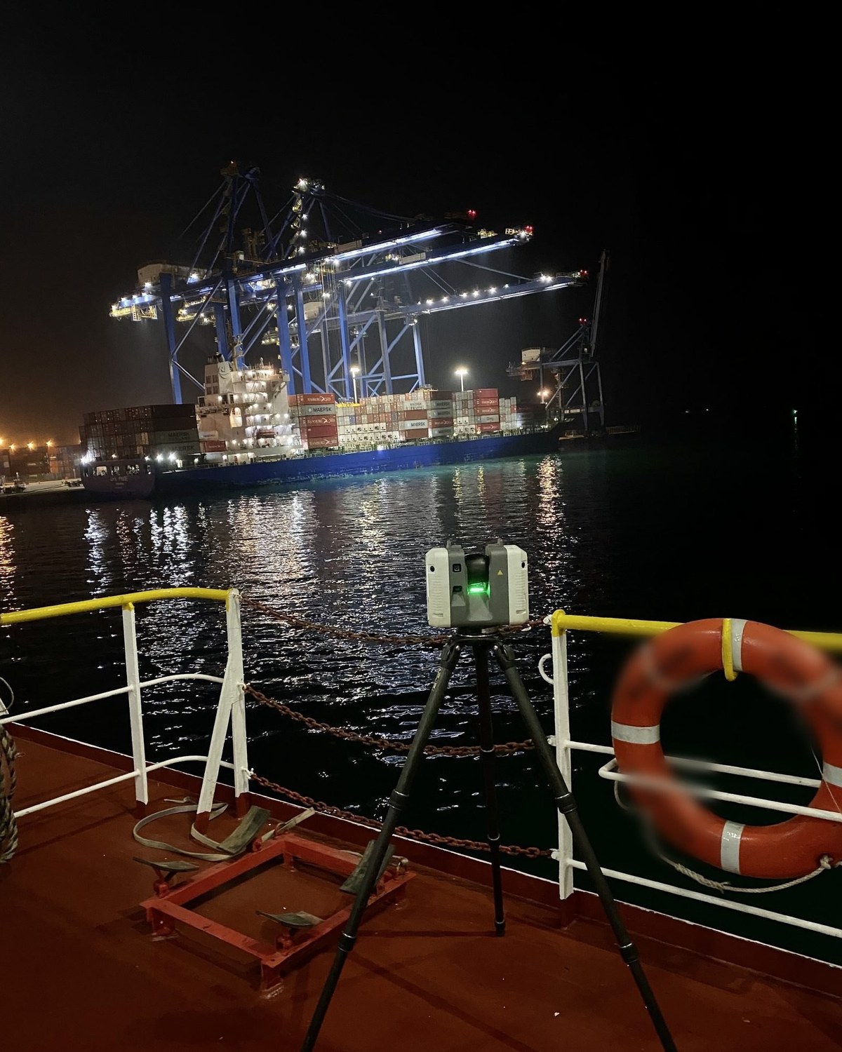
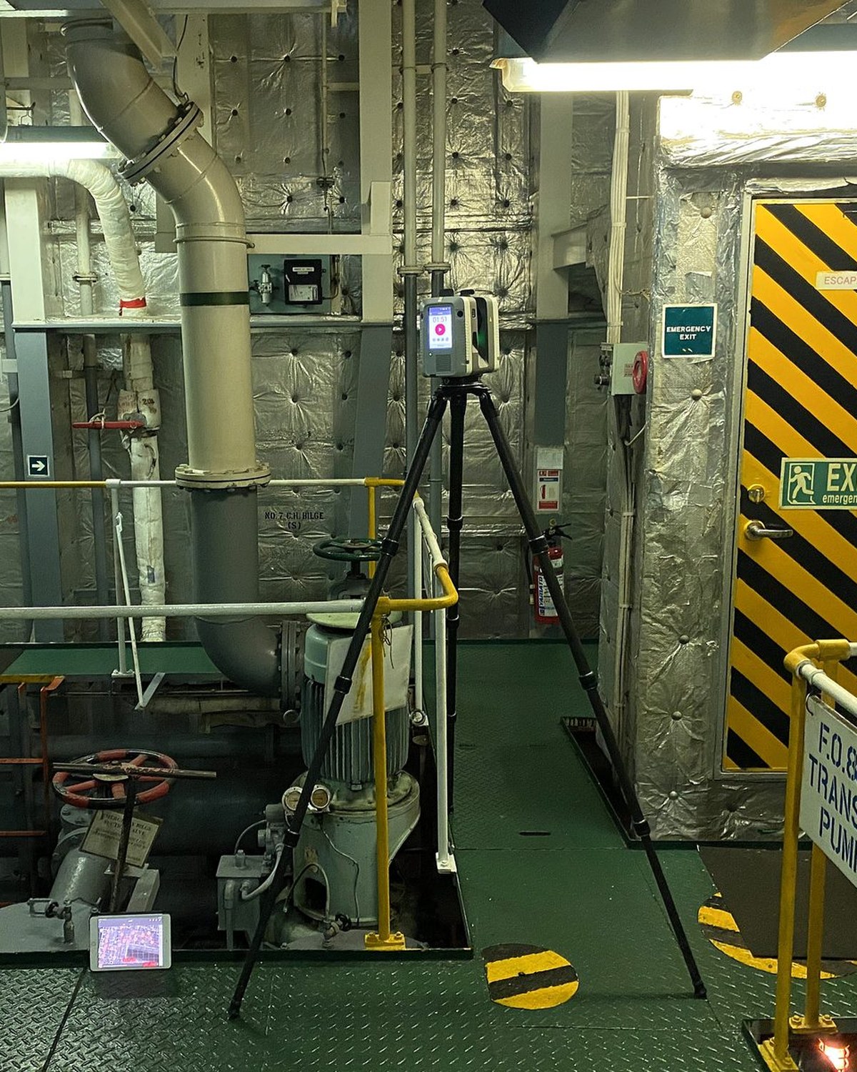
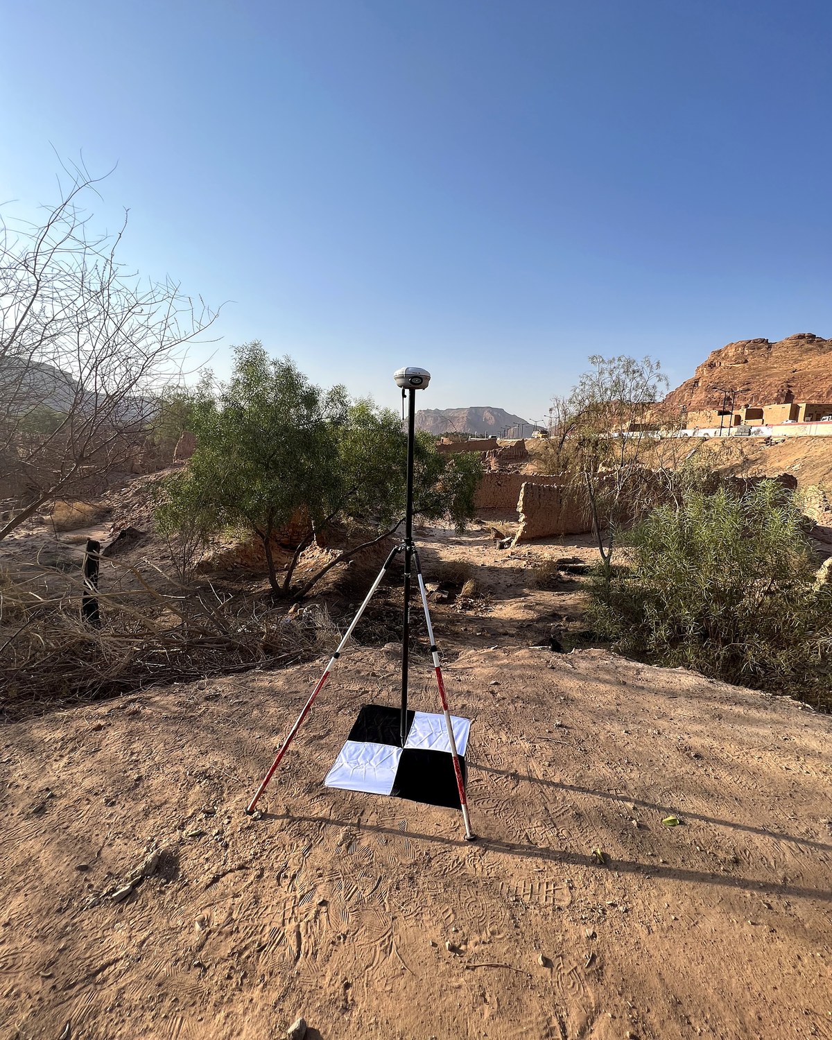
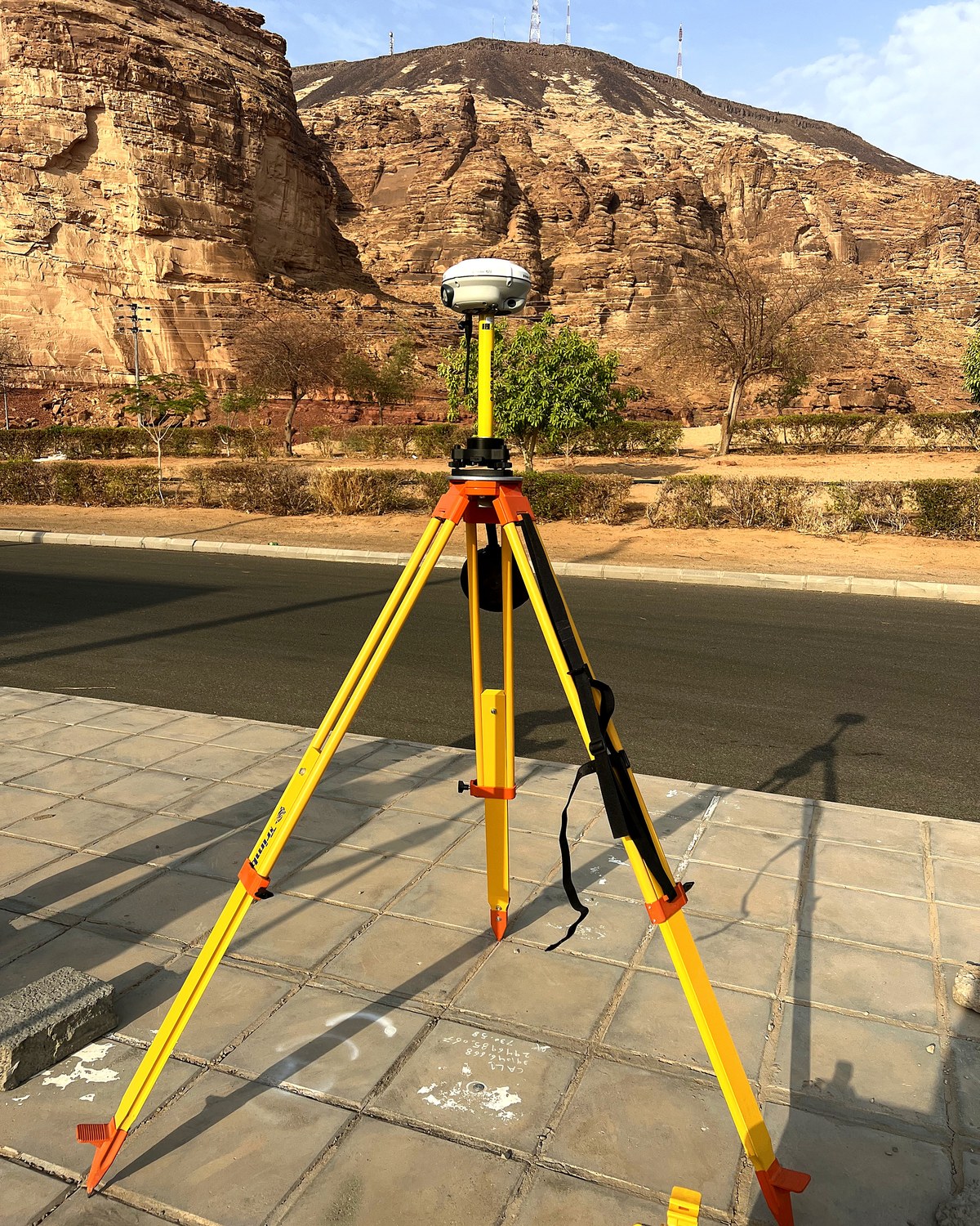
Our experience includes surveying operating industrial facilities, working vessels and heritage sites, as well as documenting construction and grading works. We plan the work around site conditions and the deliverables the project team needs.
- License
- Licensed by the General Authority for Survey and Geospatial Information (GEOSA)
- Drone operations
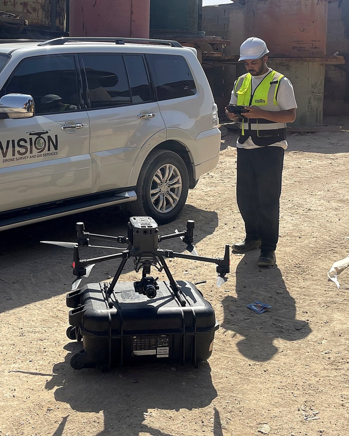
- Under GACA licensing, with registered aircraft and qualified operators
Our vision
To be among the leading Saudi entities in the geospatial sector, and to see the Kingdom's projects built on accurate spatial data.
Our mission
We provide our clients with geospatial solutions that help them understand their sites, facilities and assets, and plan, design and build on accurate, reliable engineering data.
Our values
Accuracy
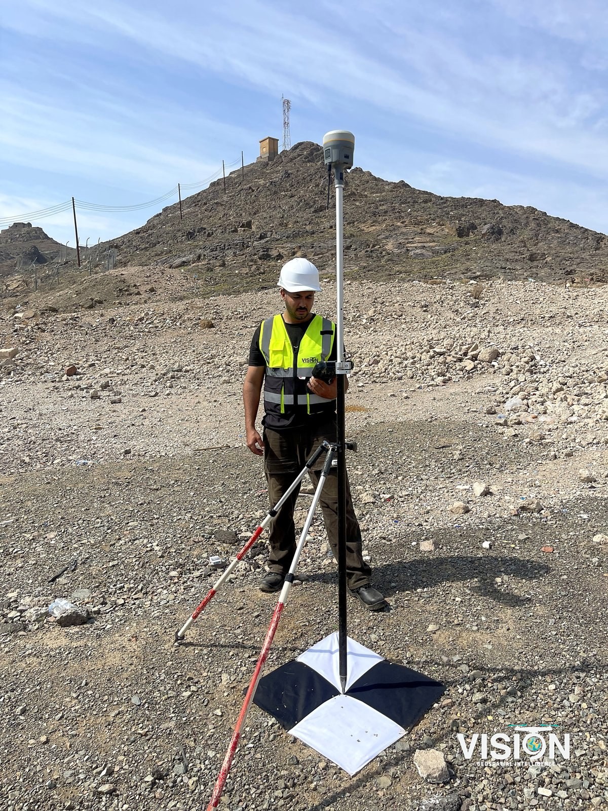
Every survey is tied to survey control and reviewed before delivery.
Clarity
We record the method, the instruments used and the accuracy checks in a report that comes with every delivery.
Confidentiality
We do not name our clients, their sites or their project details without their permission.
Commitment
We meet delivery dates and contract terms, and deliver the outputs set in the scope of work.
What sets us apart
From the field to delivery
Our own team handles the whole project, from aerial and ground survey to data processing and the final deliverables.
Fast mobilization nationwide
Efficient logistics get our field teams to sites in every region of the Kingdom on short notice.
Complex facilities
Experience working in facilities with strict safety requirements, such as working vessels and operating industrial plants, as well as heritage and construction sites.
Files ready to use
GIS, CAD and BIM deliverables compatible with the client's standards and software.
Sectors we serve
Consultants
Reliable survey data, with maps, models and GIS layers ready for your design work.
Contractors and infrastructure
Setting-out, corridor mapping, progress reports and photographic records, as-built checks and earthworks support.
Industry and energy
Plant as-builts, retrofit scanning, 3D models of operating facilities and records for operation and maintenance.
Mining and geology
Pit and stockpile surveys, volume reconciliation, geological studies and ground magnetic surveys.
Marine and ports
Vessel documentation, port infrastructure surveys and scanning in confined spaces.
Heritage and culture
Detailed recording and Heritage BIM (HBIM) of historic structures and sites.
Land and real estate
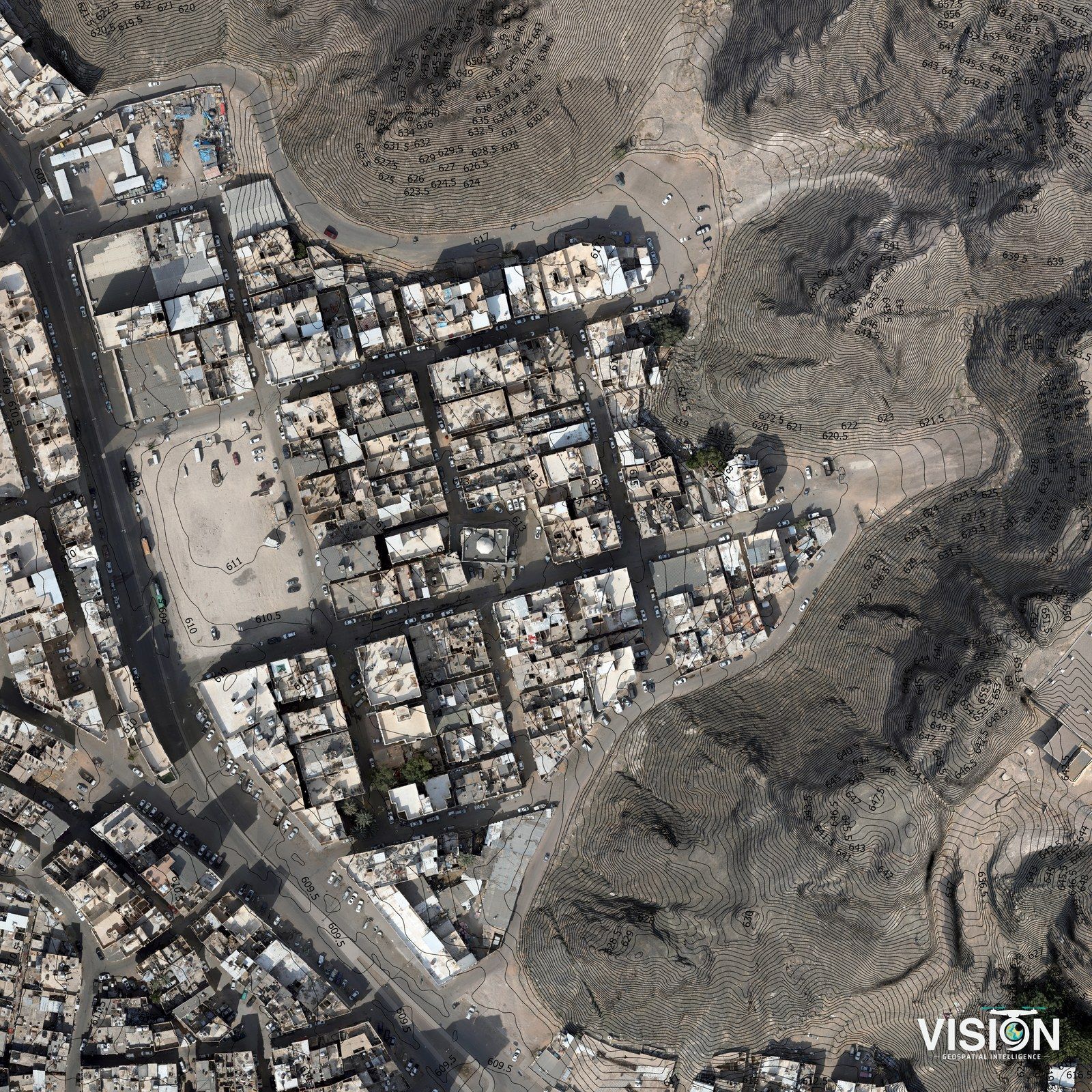
Cadastral surveys, parcel mapping, orthophoto base maps and site studies for development.
Water and environment
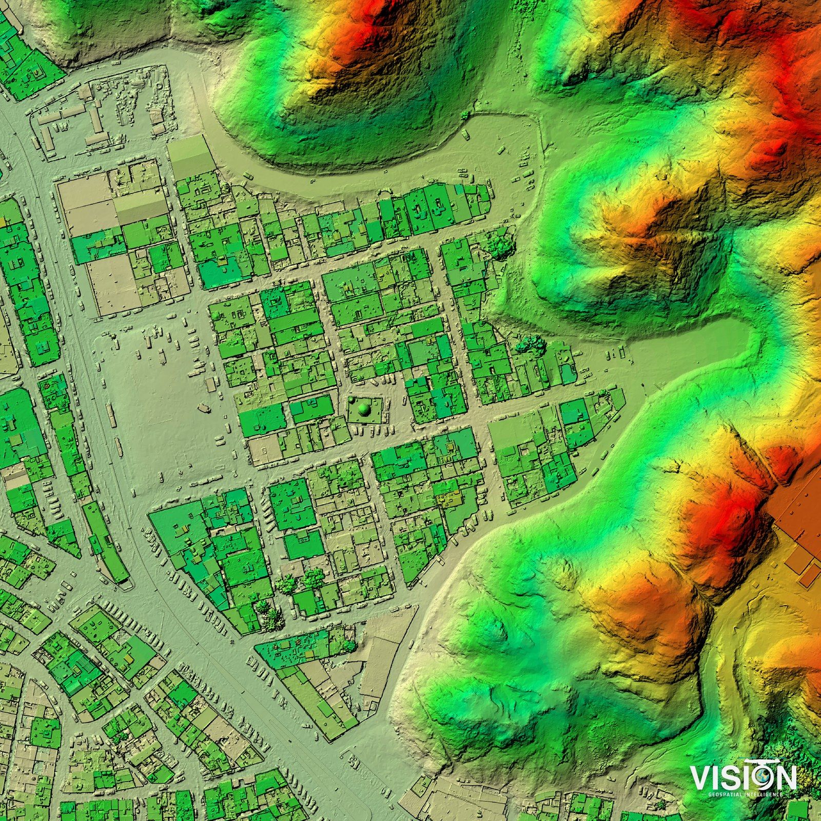
Hydrological analysis, catchment and drainage mapping, and terrain studies from survey-grade elevation models.
Urban and development planning
Current base maps and orthophotos, geodatabases, spatial analysis of land use, and thematic maps that support urban plans and development projects.