

Stockpile volume survey
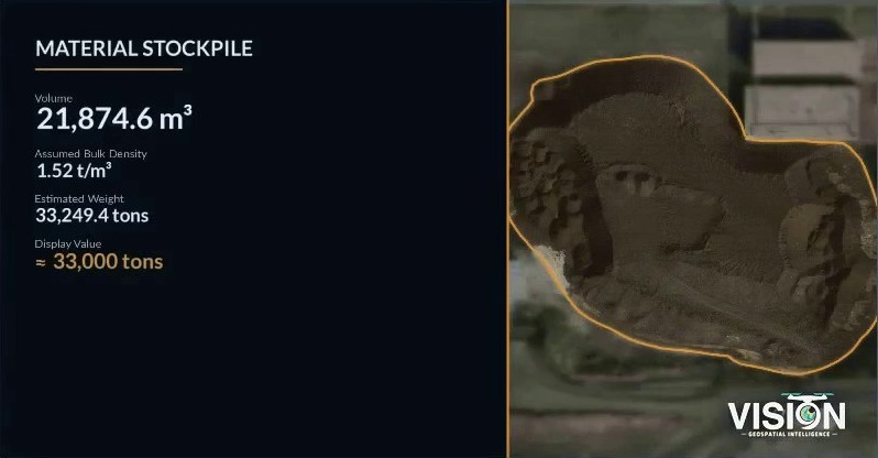
Drone photogrammetry of stockpiles in storage yards, with volumes computed from the surface models and documented in a report.
Scope of work
RequirementStockpile volumes in storage yards, with a documented method.
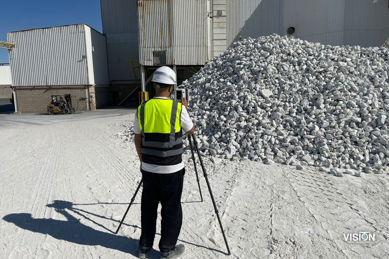
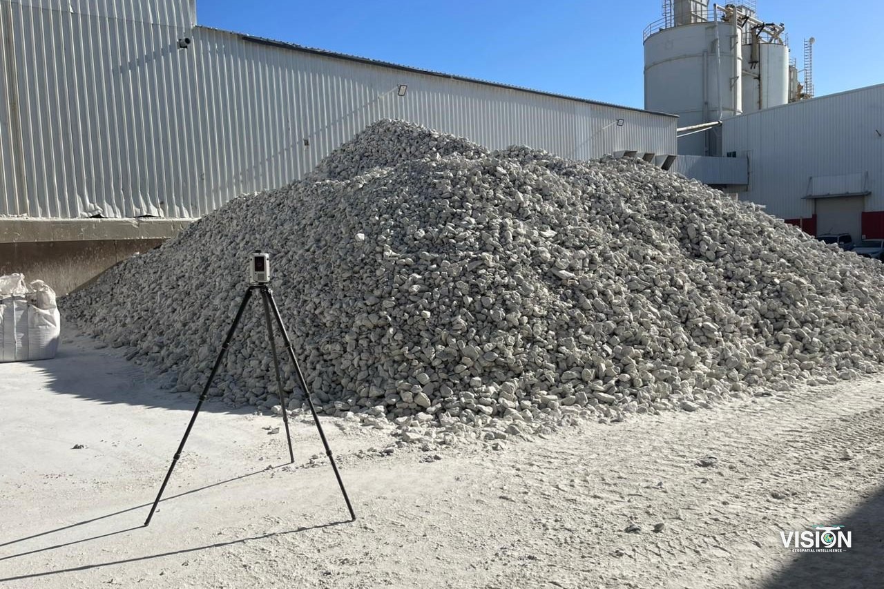
FieldworkDrone photogrammetry with ground control, and terrestrial laser scanning at the pile face.
ProcessingSurface models, pile outlines and volume computation.
DeliverablesOrthophotos, surface models, pile outlines and a volume report.
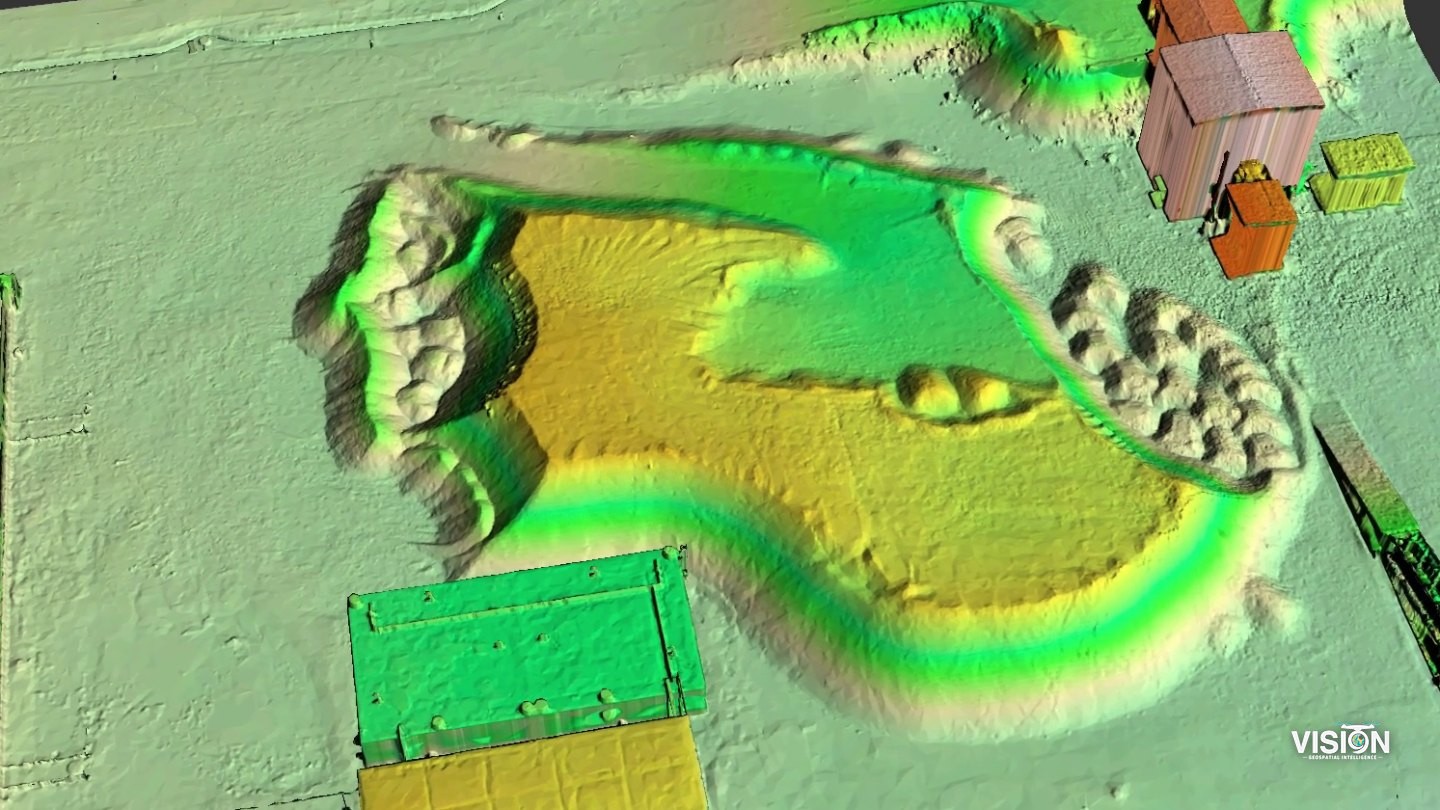
Fieldwork and survey outputs
1 / 8
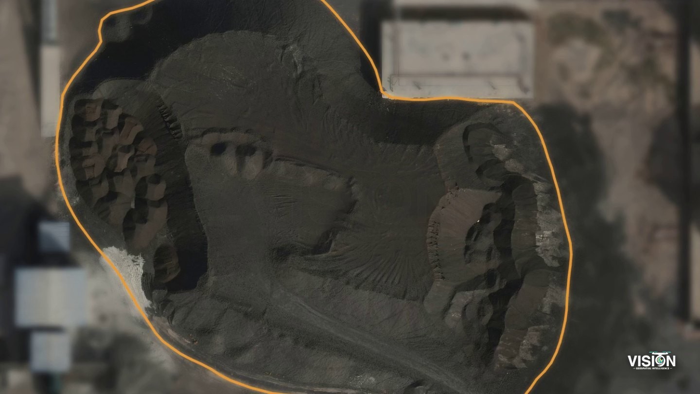
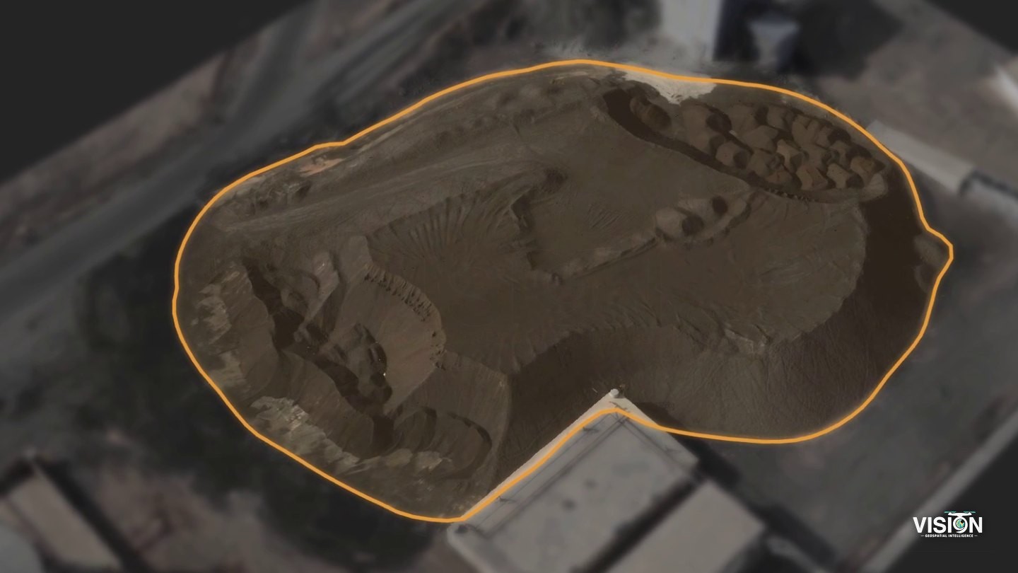
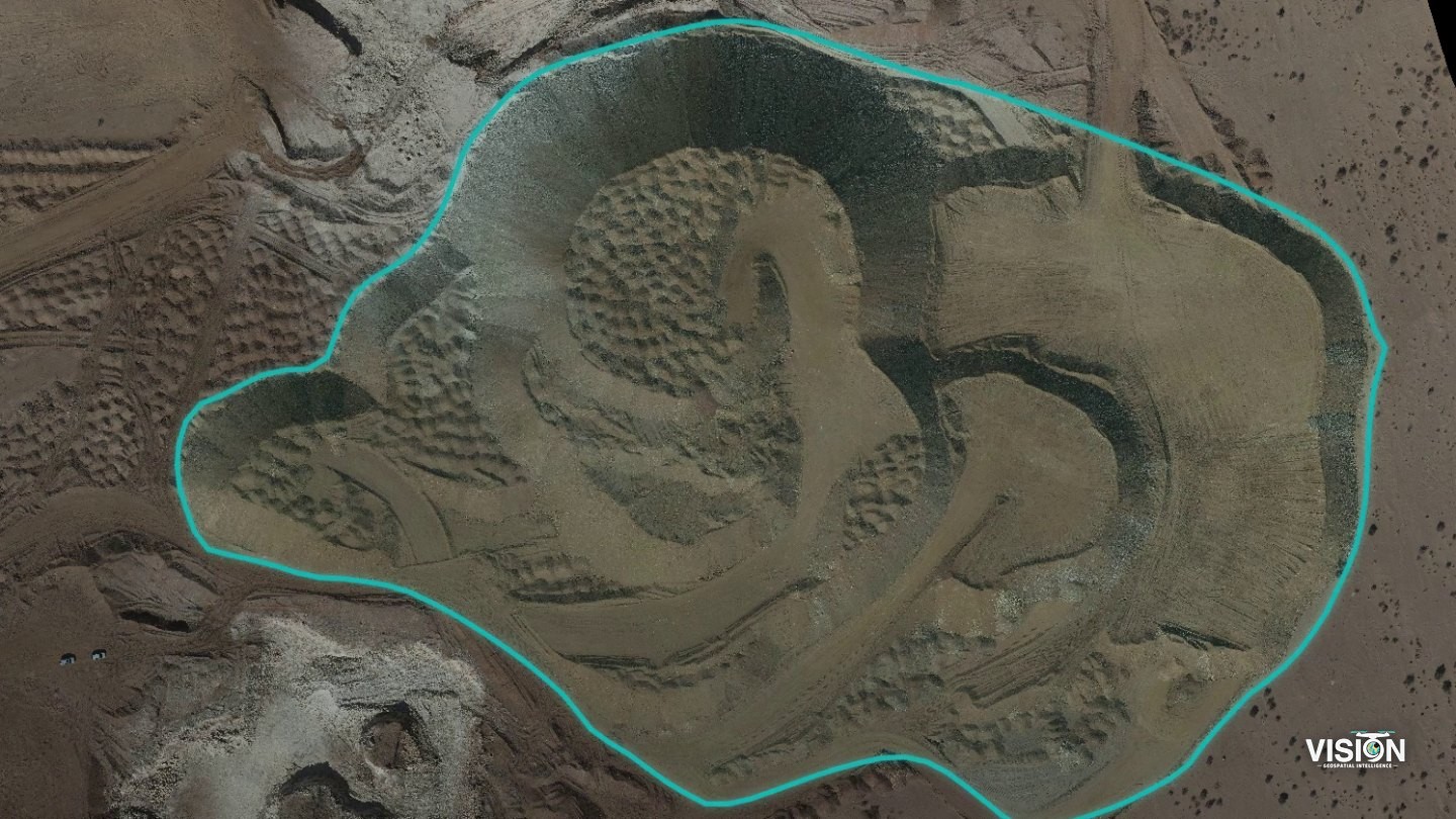
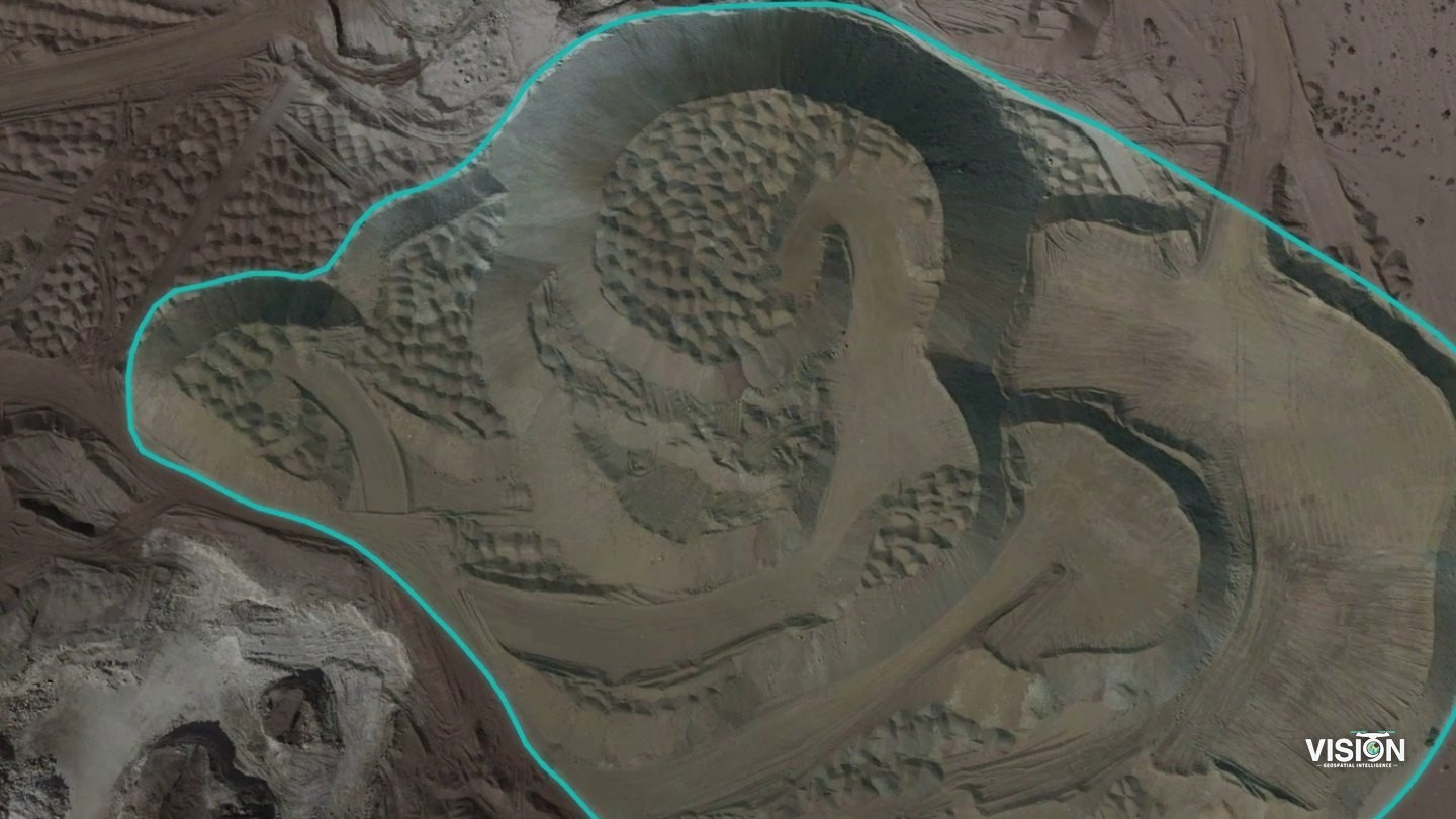
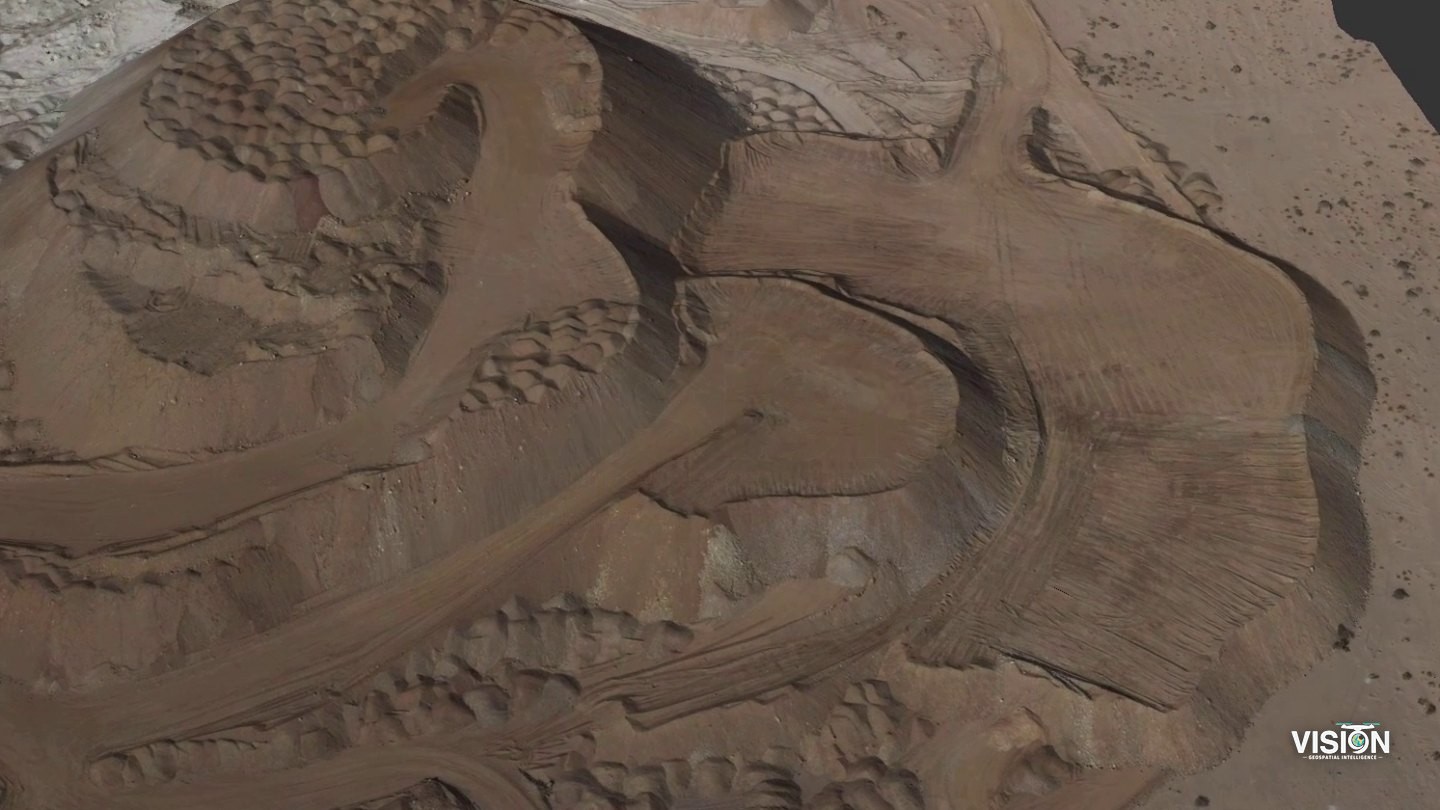
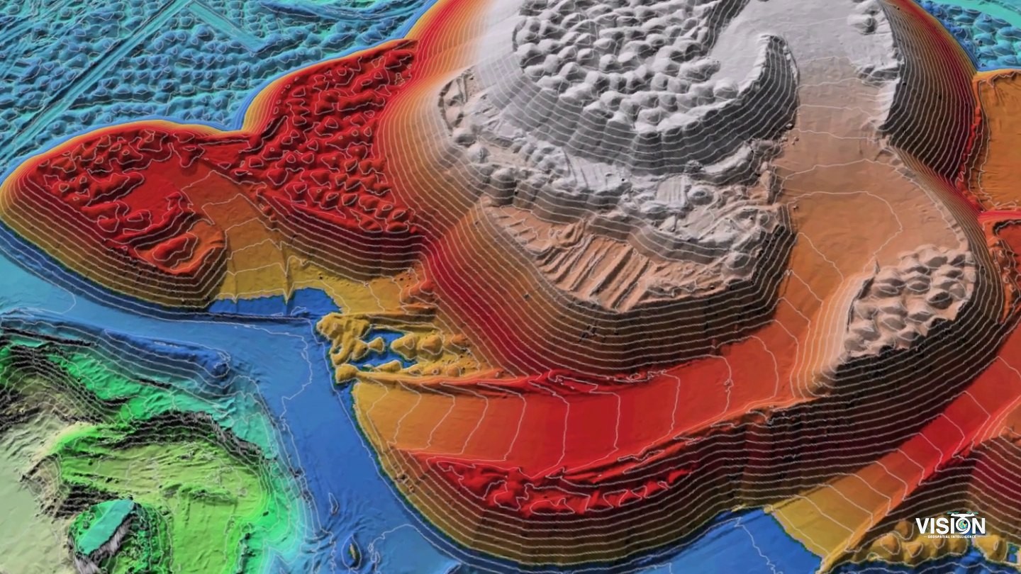
Volume calculation
Other projects
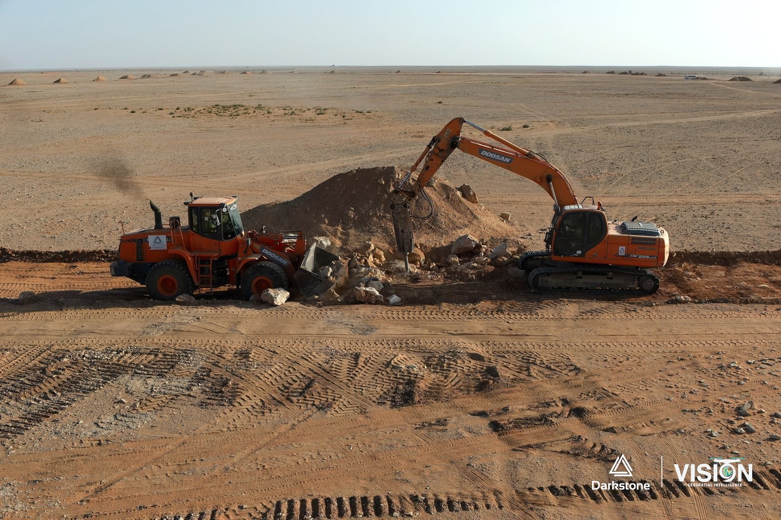
Construction photography and documentation
Aerial photography and video of active construction and grading works, in cooperation with Darkstone Arabia.
View project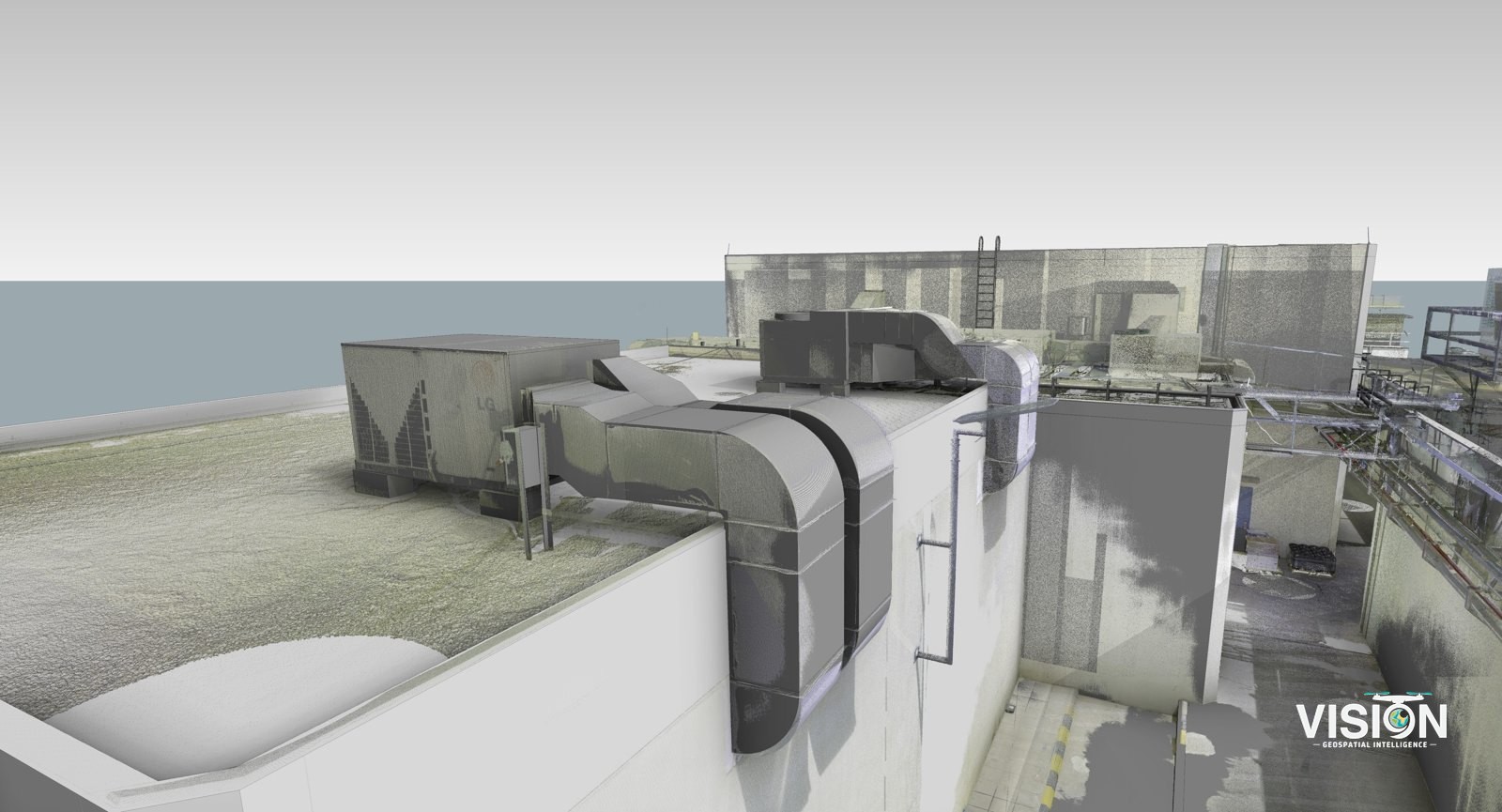
Scan-to-BIM, facility with mechanical equipment
Laser scanning of a facility, with a BIM model checked against the scan data.
View project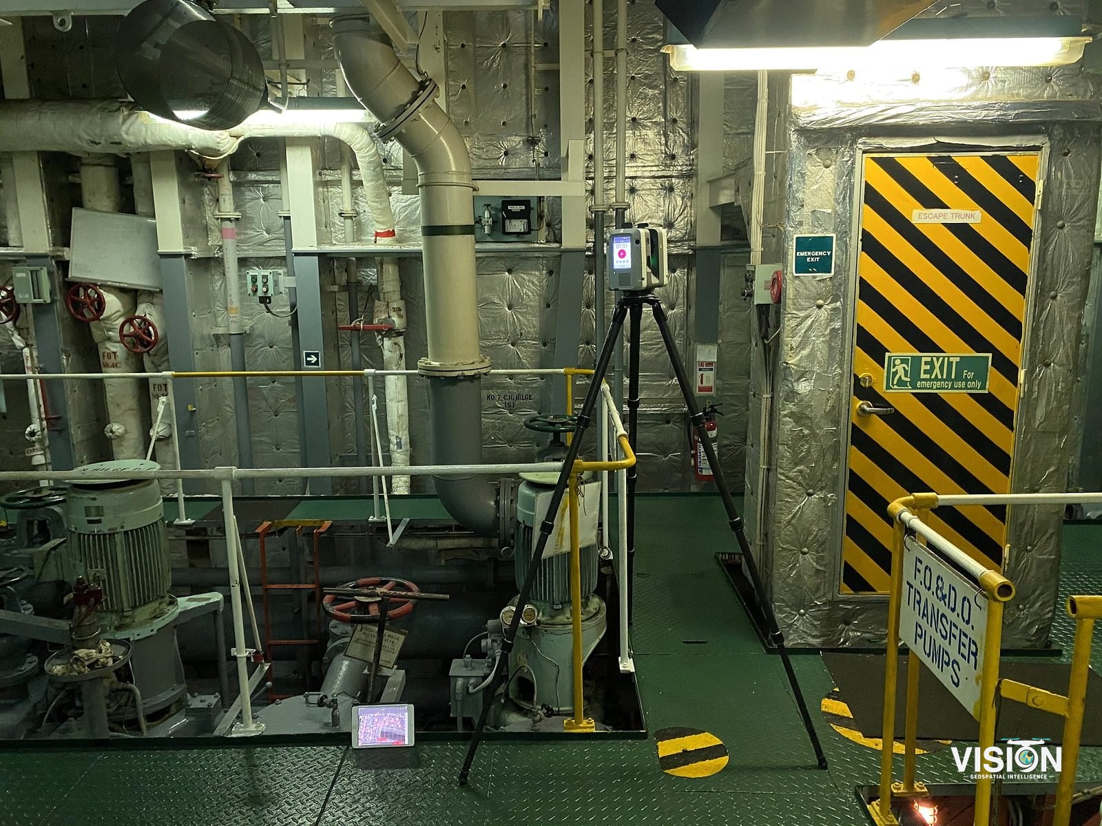
Vessel reality capture
Laser scanning of a working vessel, covering its exterior, decks and engine room.
View project