

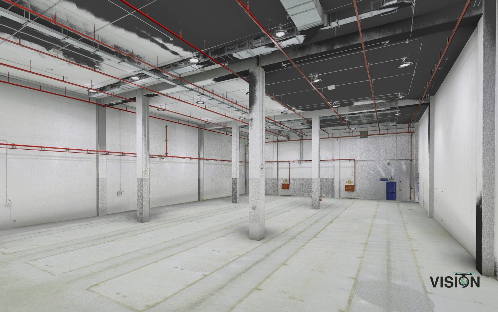
3D laser scanning and as-built modeling
We scan buildings, heritage structures and plants, and turn the scan into the point cloud, BIM model and drawings your team works from.
- Deliverables
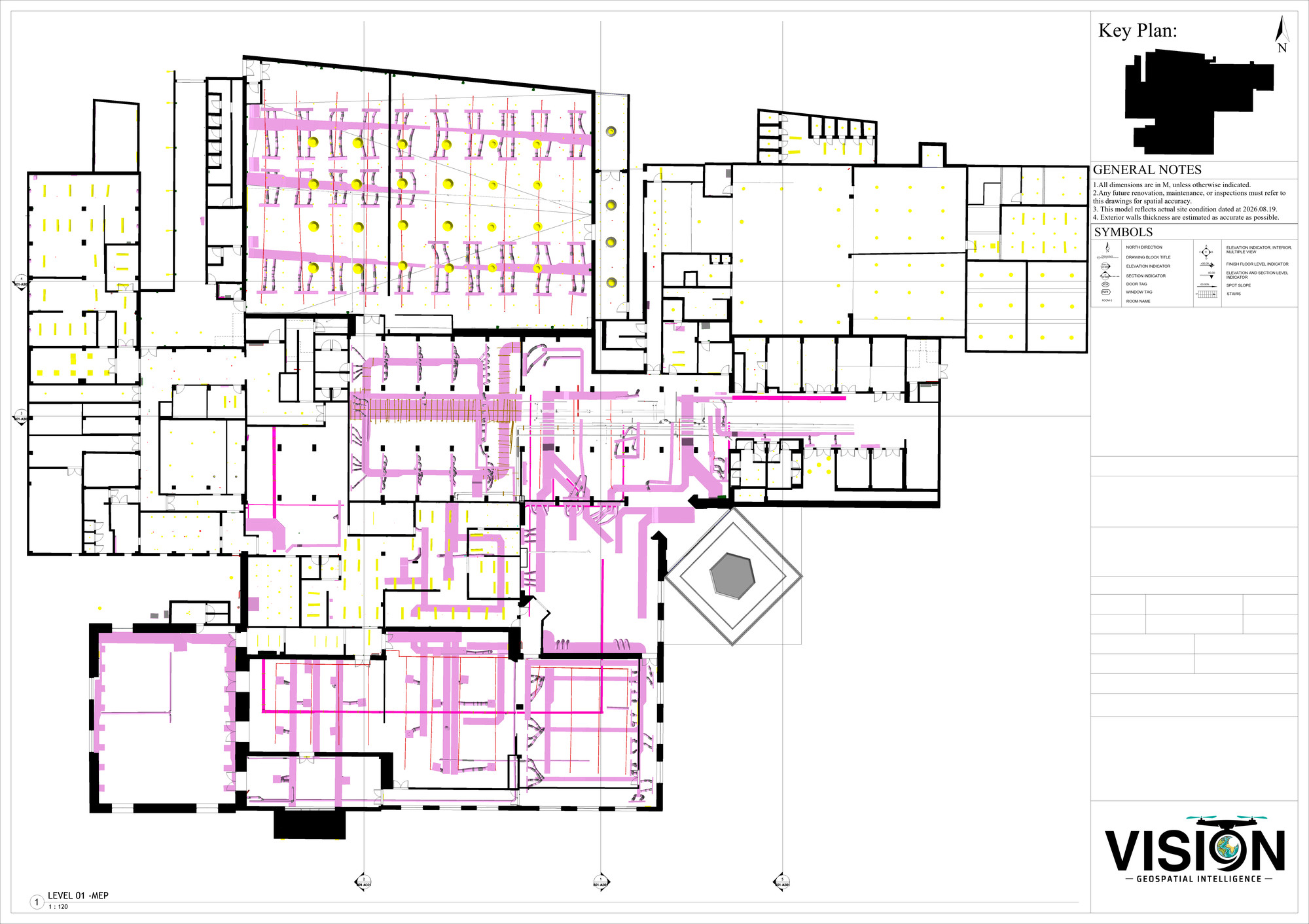
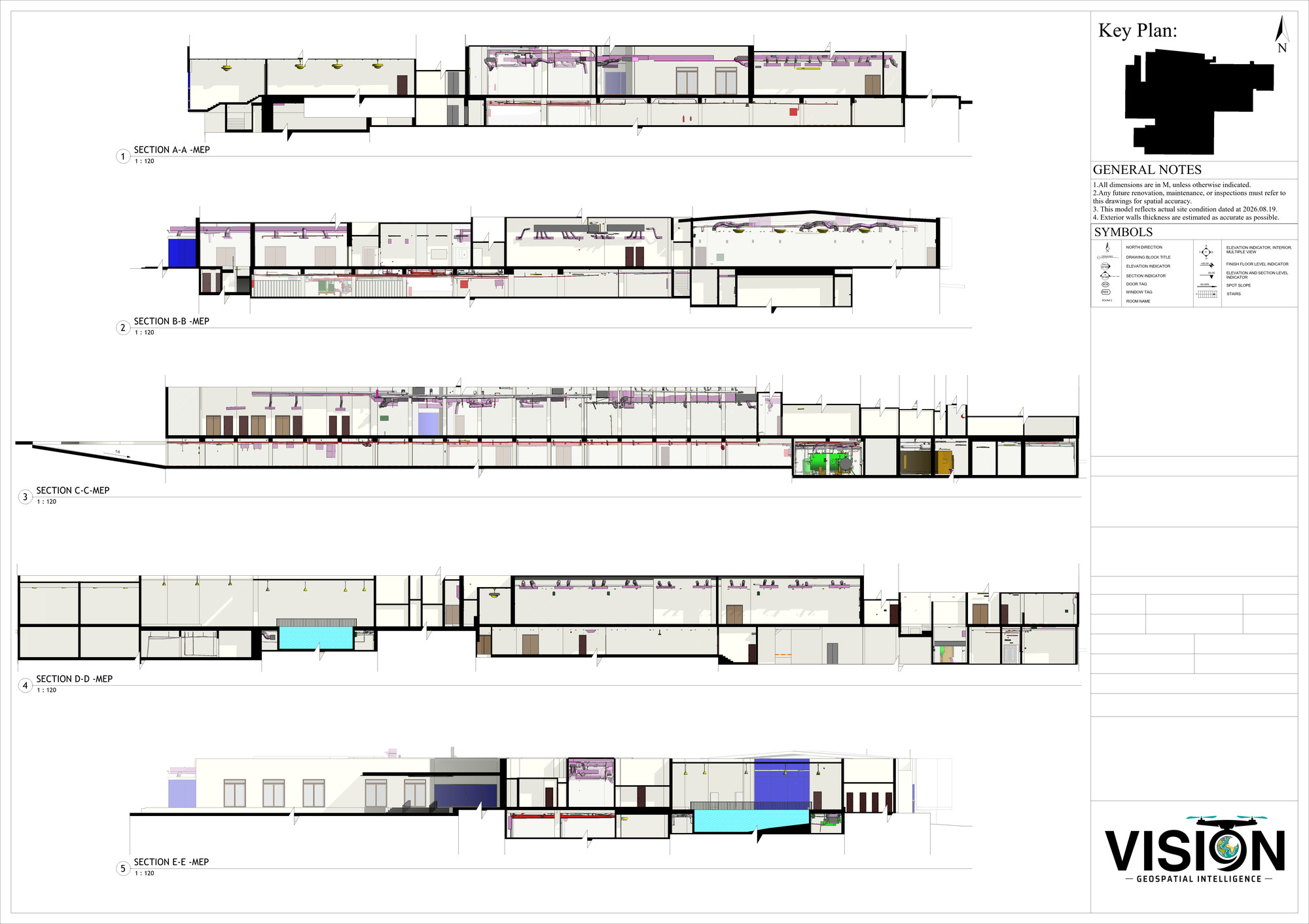
- Point cloud (E57, RCP), BIM model (RVT, IFC), drawings (DWG)
- Equipment and software
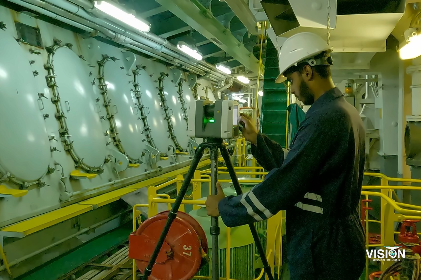
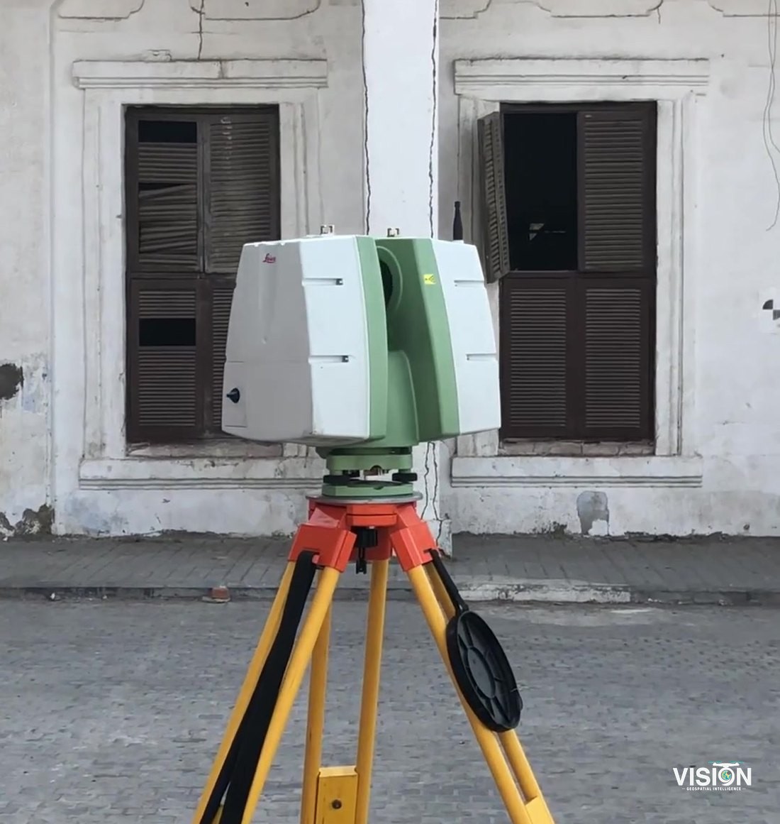
- Leica RTC360 and Leica ScanStation laser scanners, point cloud registration and BIM and CAD modeling software
How we work
Scan
Laser scanning of the interior and exterior areas set in the scope of work, tied to survey control.
Data processing
Registration of the scan positions into one point cloud, filtering, georeferencing to the project coordinate system and preparation for the client's software.
Model
A BIM model, 3D models or 2D CAD drawings prepared from the point cloud, with the elements and level of development set in the scope of work.
Verify
We check the model against the scan data and document the differences.
Deliver
RVT, IFC, DWG and E57 files compatible with the client's software and requirements, with a survey report.
Applications
Buildings
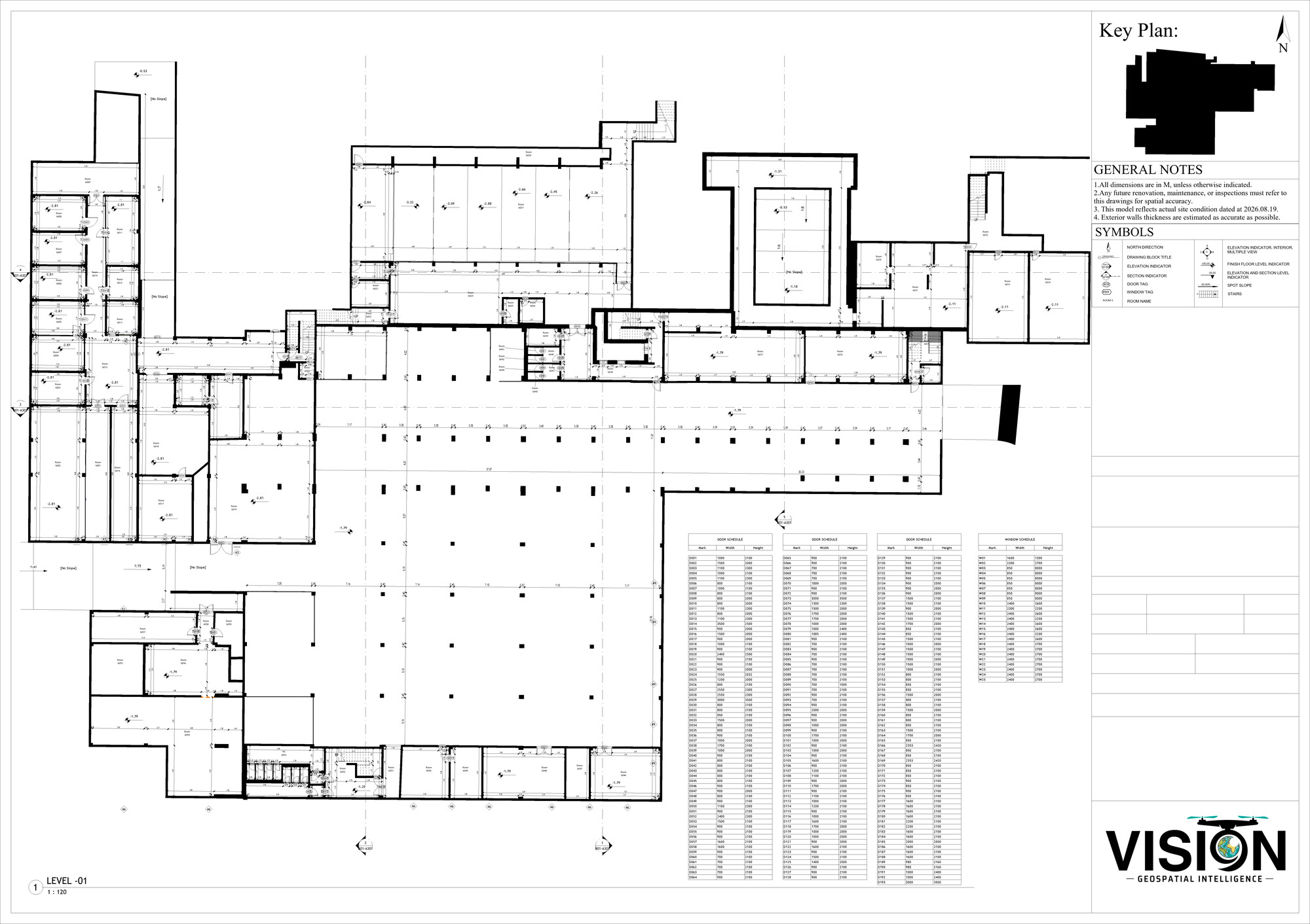
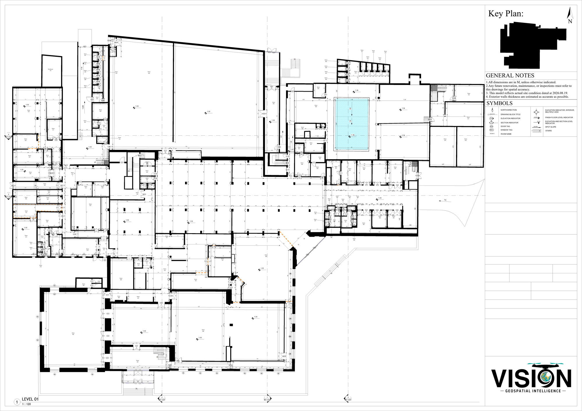
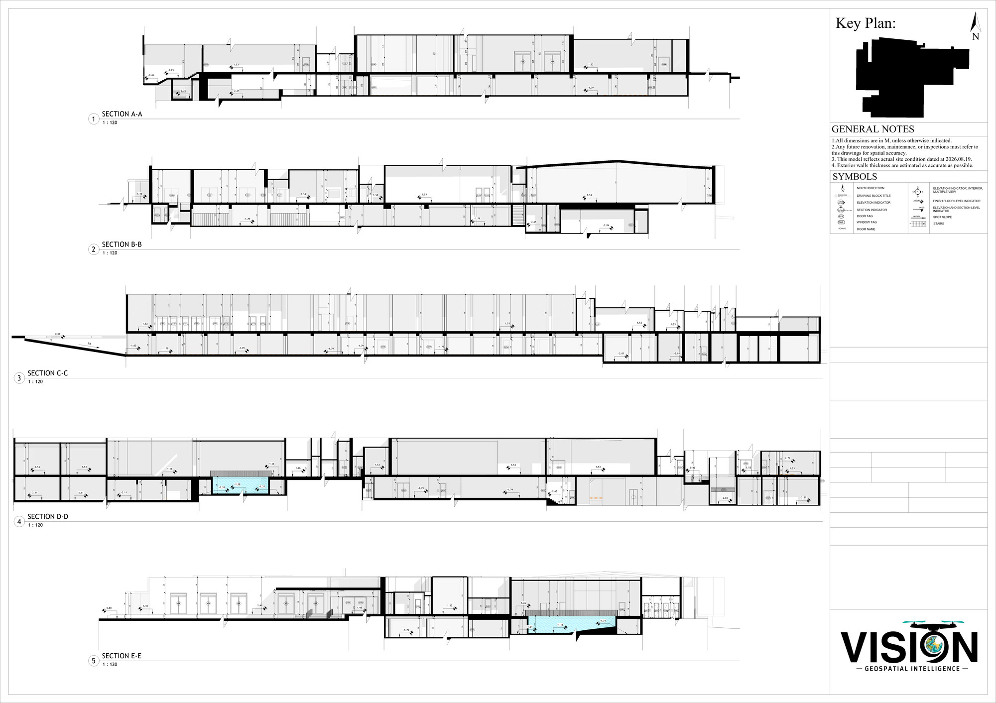
Architectural plans, sections and elevations of existing buildings.
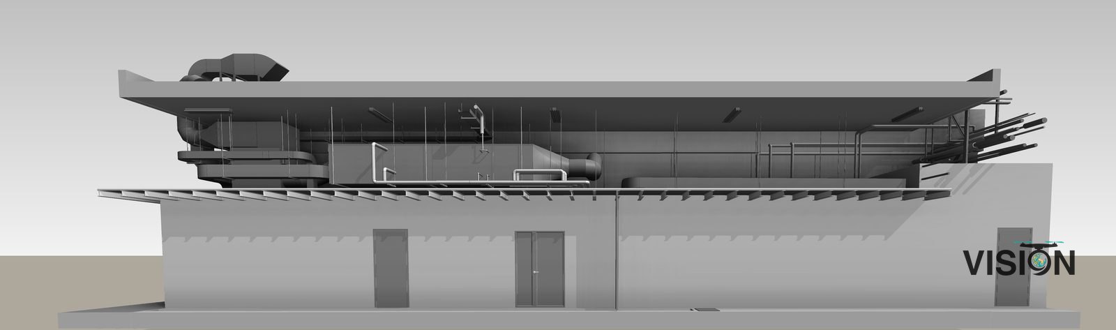
Ceilings and MEP
Suspended ceilings and the services above them, recorded before renovation.
Electrical
Visible cable trays, panels and fittings placed in the model.
Plumbing and drainage
Exposed pipe runs, risers and connections.
Clash detection
We compare the design model with the as-built conditions captured in the scan, and show clashes and deviations before installation or modification.
Water networks and tanks
Tanks, pumps and water lines inside the facility.
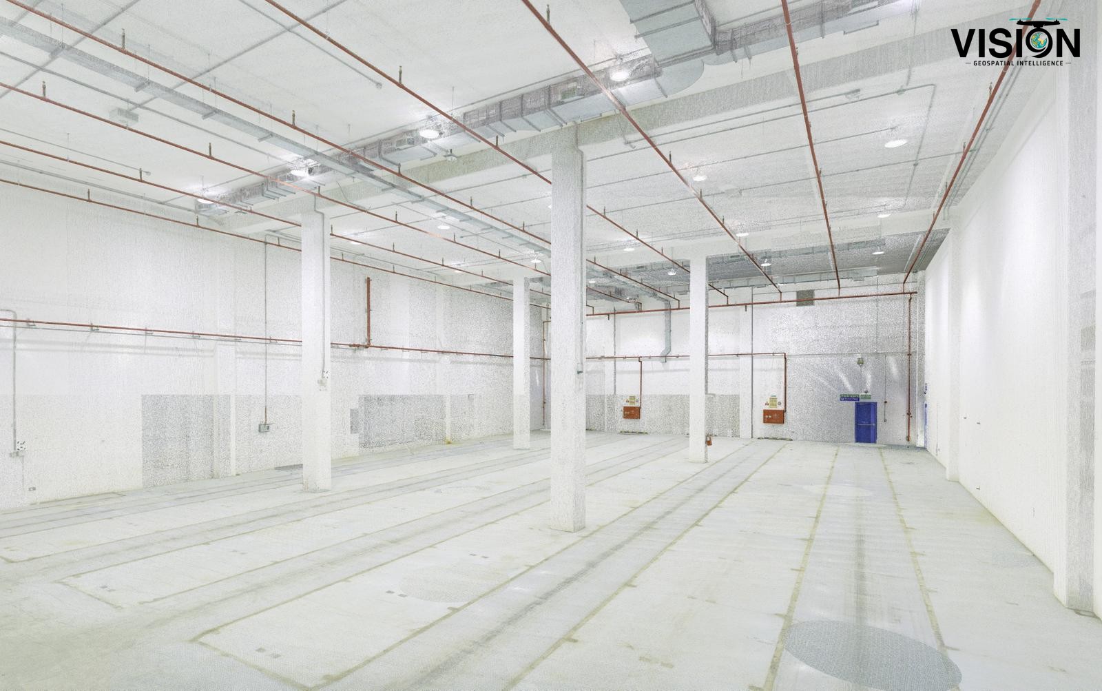
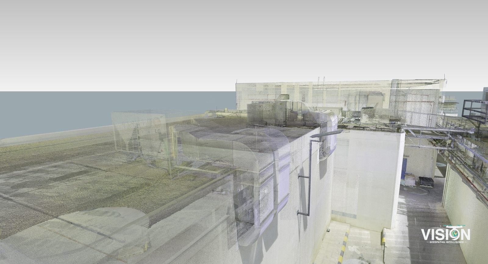
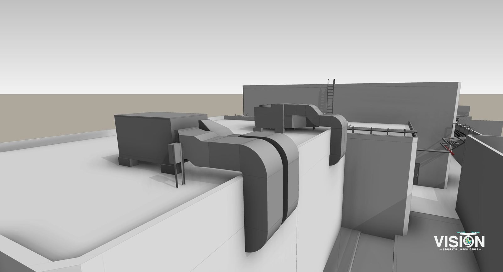
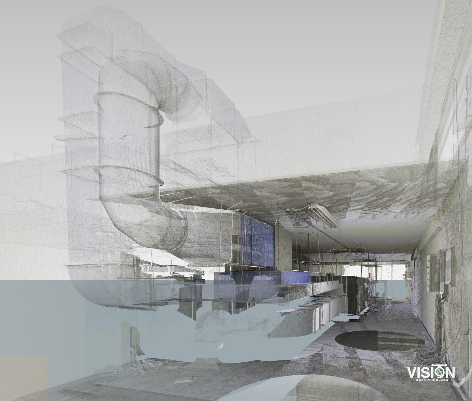
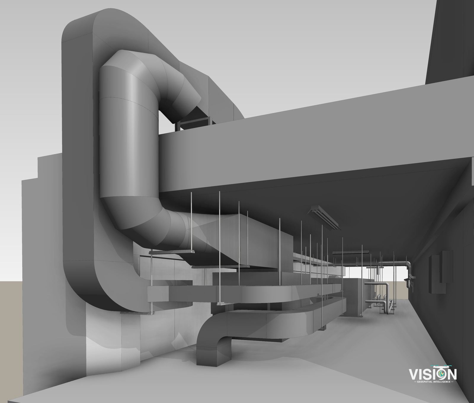
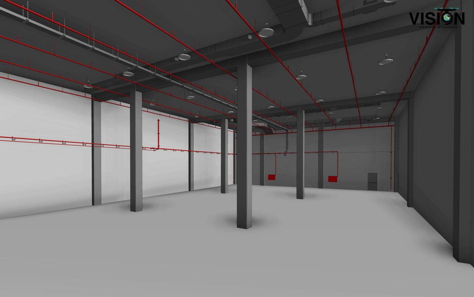 Digital model (BIM)Reality (point cloud)
Ceilings and services
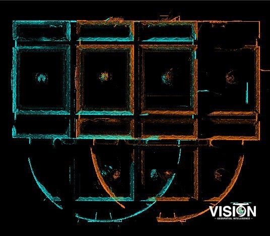
The same building seen from below, focused on the ceilings: the point cloud on the right and the digital model on the left.
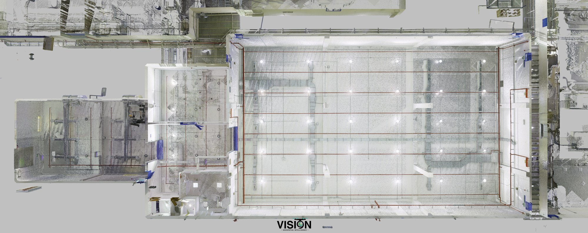
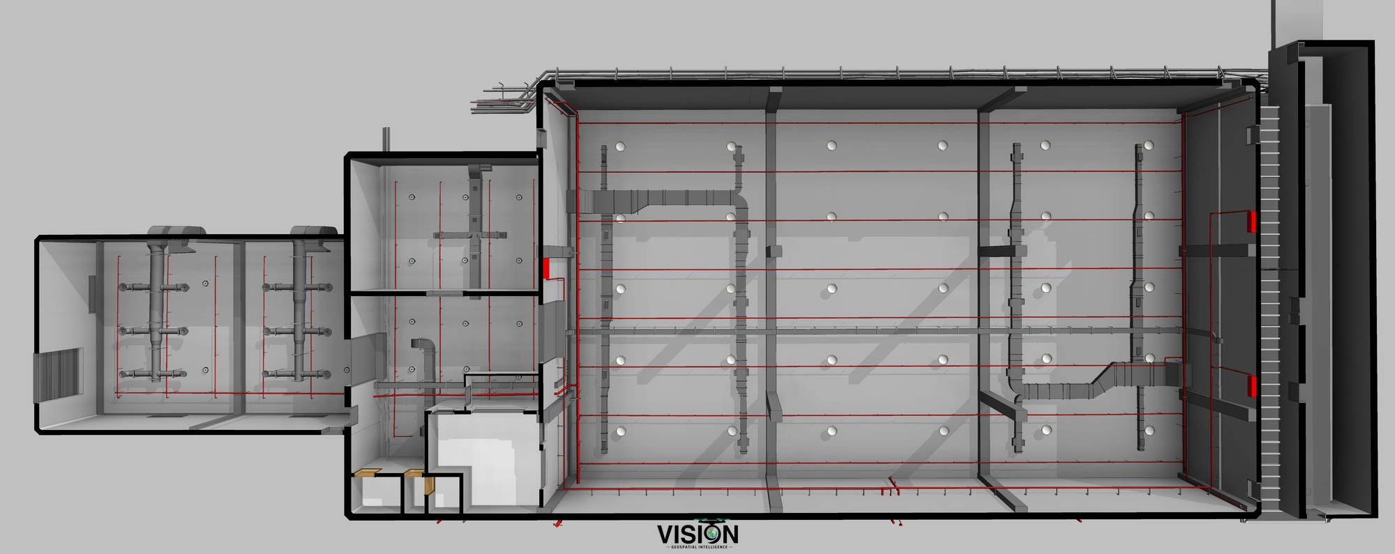 Digital model (BIM)Reality (point cloud)
Levels of detail
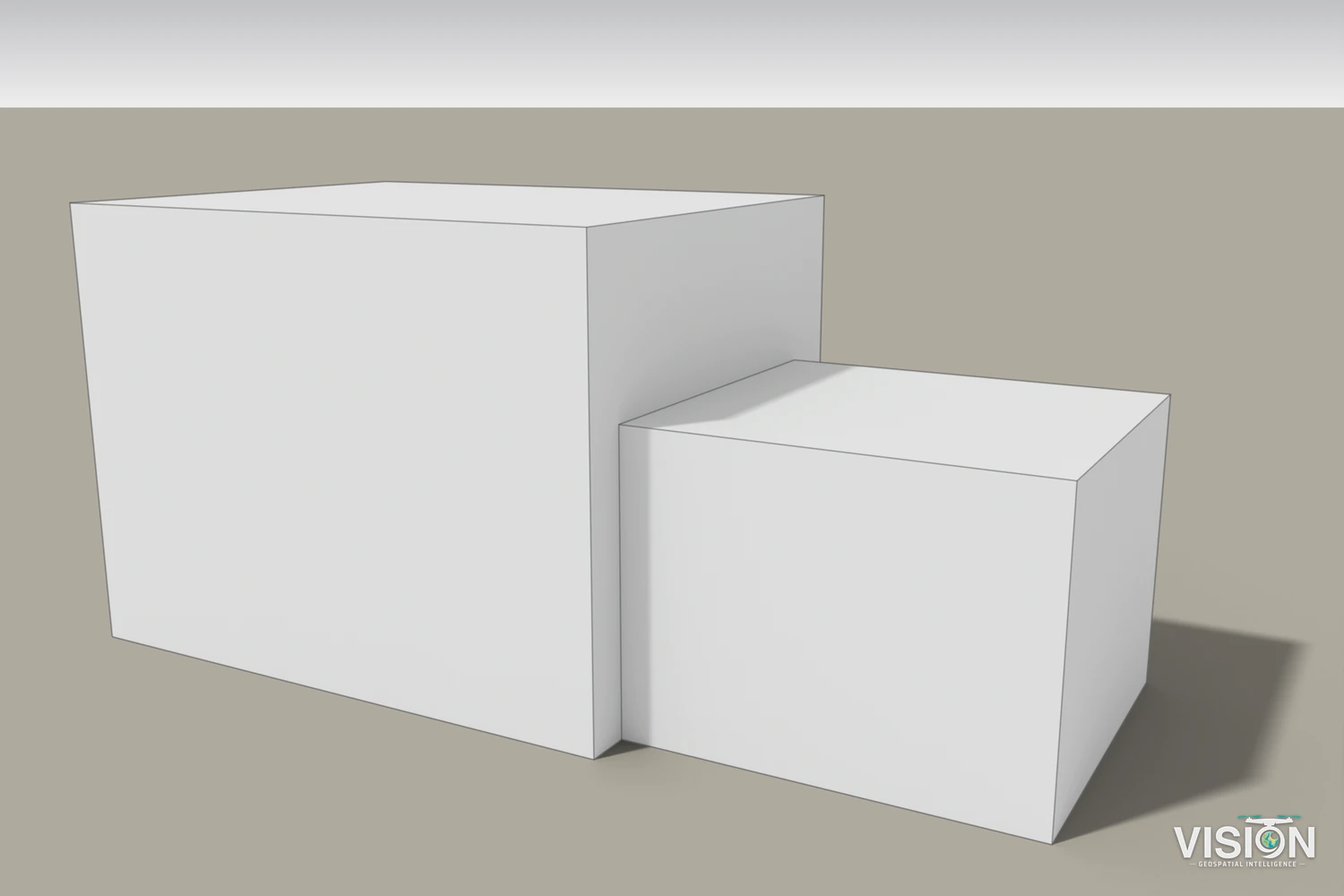
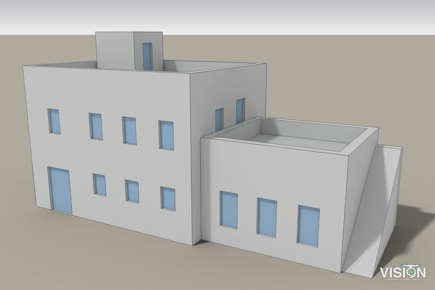
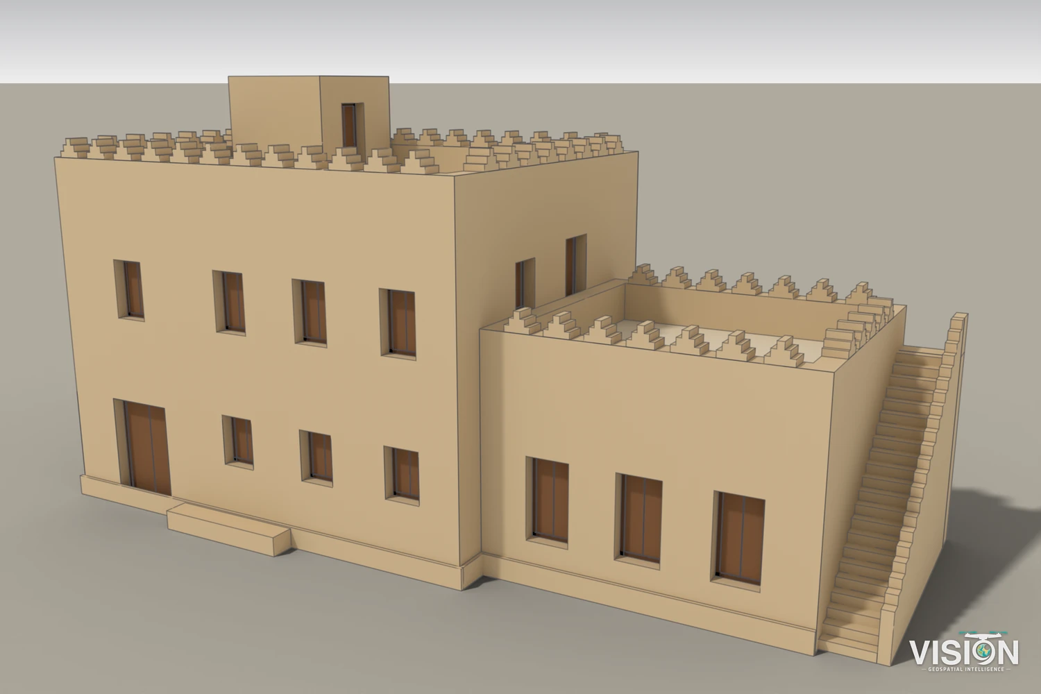
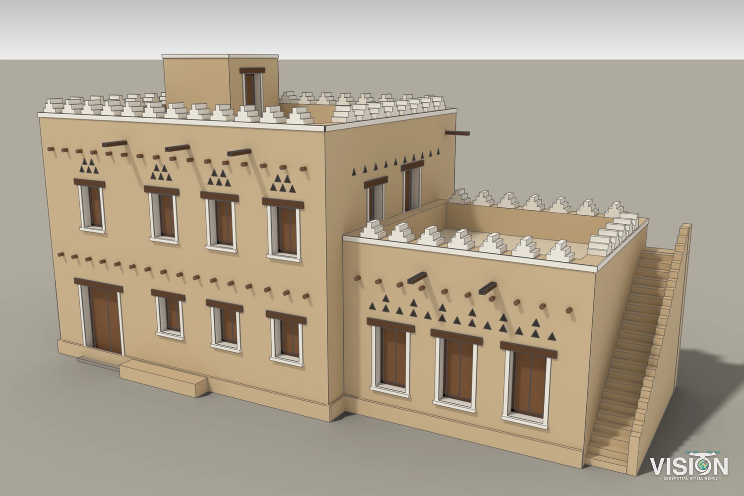
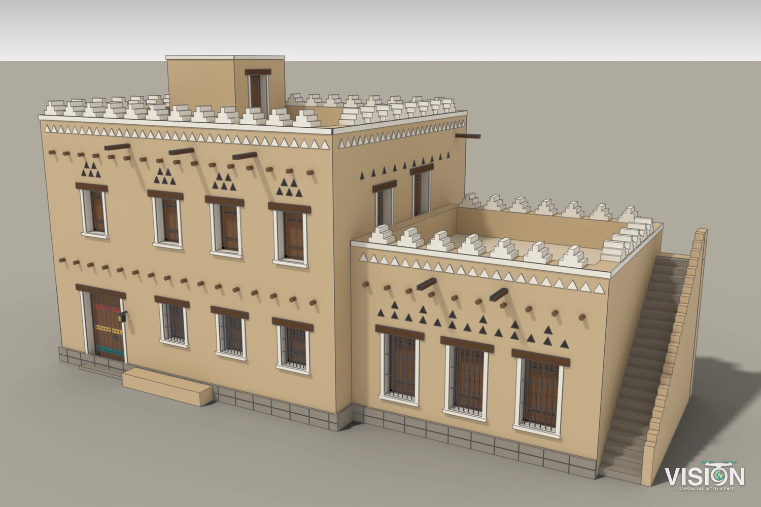
The BIM model from LOD 100 to LOD 400
LOD describes what each element in a BIM model contains. Levels can differ between elements of the same project. If you are not sure, we will recommend the level that suits your use.
LOD 100 Massing
LOD 200 Generic elements
LOD 300 Specific elements
LOD 350 Connections
LOD 400 Fabrication detail
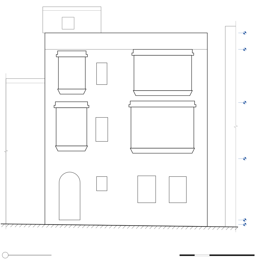
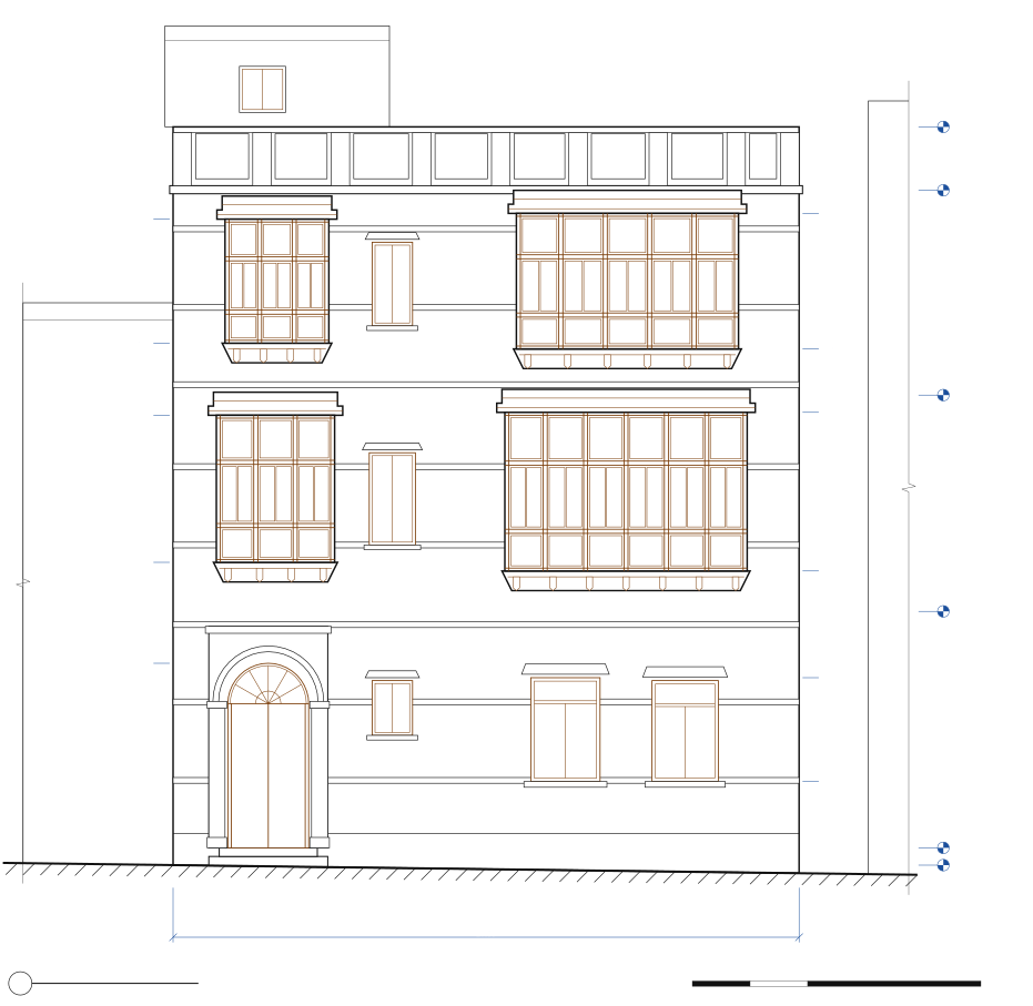
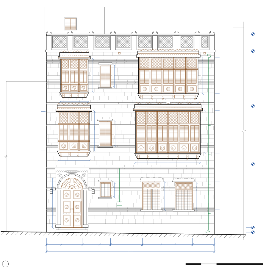
Drawings at three levels
One street elevation drafted from the same scan at three levels. More detail means more drafting time, so the level follows what the drawings are for.
Level 1 Basic
Level 2 Standard
Level 3 Detailed
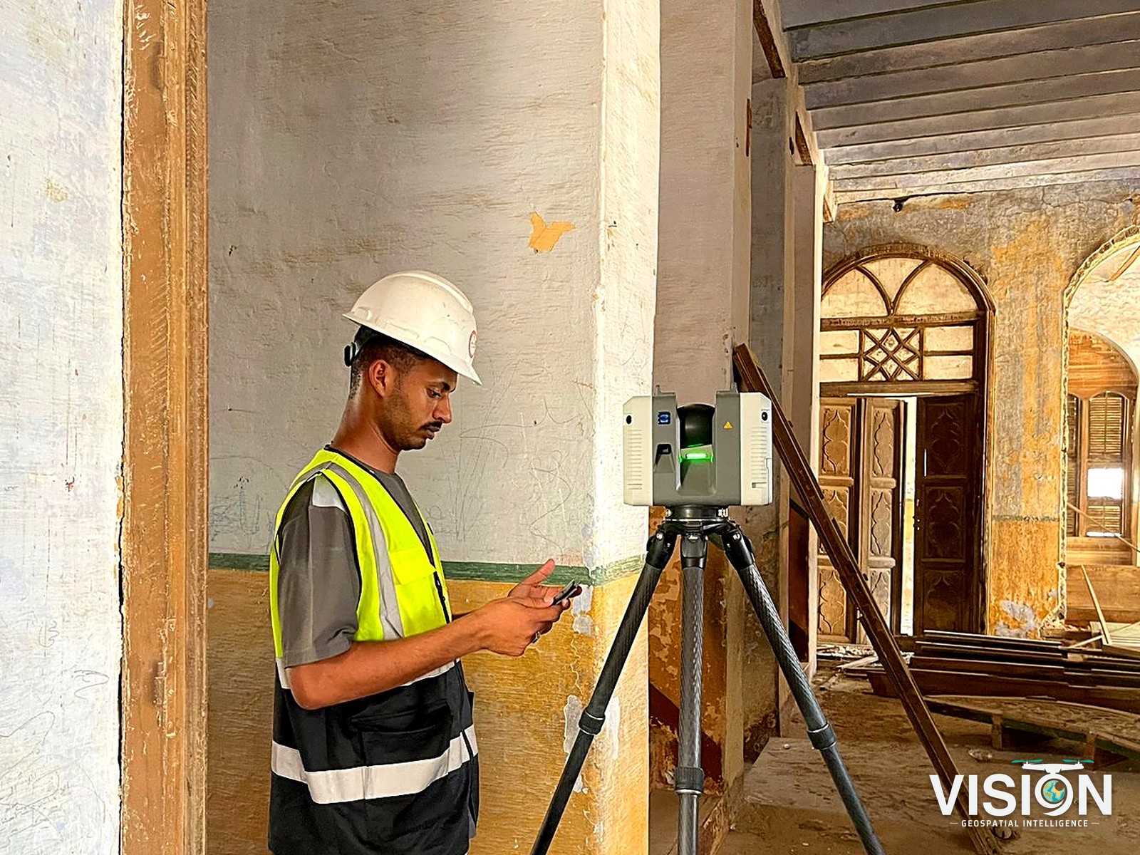
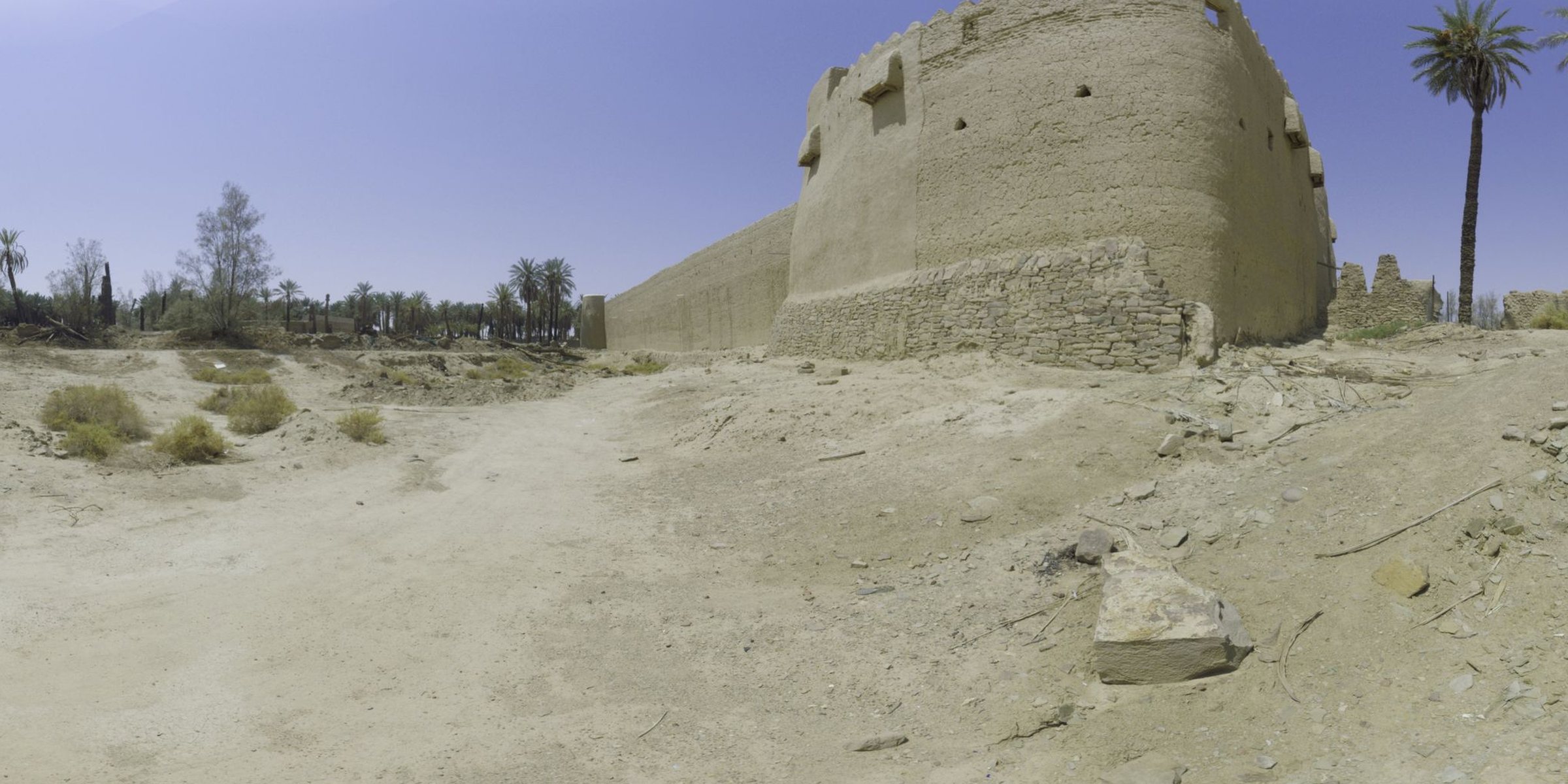
Heritage and HBIM
Historic buildings recorded with the Leica ScanStation and 360° imaging, delivered as point clouds and panoramas, or as Heritage BIM (HBIM) when required.
360° panoramas of the site
Outputs
Equipment and software
Software and processing
Point cloud registration
Scans joined into one dataset in the project coordinate system and checked for fit.
BIM modeling
Models built from the point cloud to the level of development set in the scope of work.
CAD drafting
Plans, sections and elevations drafted from the survey data.
Main software we use
 Leica CycloneIMP, E57
 Autodesk ReCapRCP, RCS
 Autodesk RevitRVT, IFC
 AutoCADDWG, DXF
Selected projects
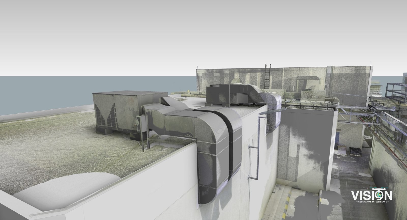
Scan-to-BIM, facility with mechanical equipment
Laser scanning of a facility, with a BIM model checked against the scan data.
View project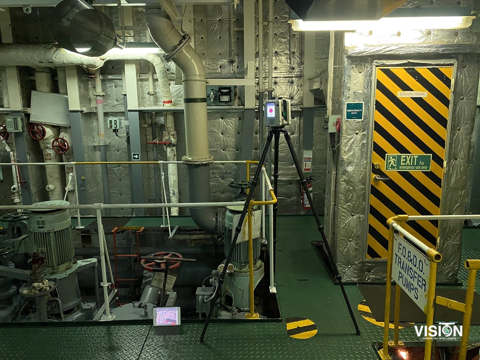
Vessel reality capture
Laser scanning of a working vessel, covering its exterior, decks and engine room.
View project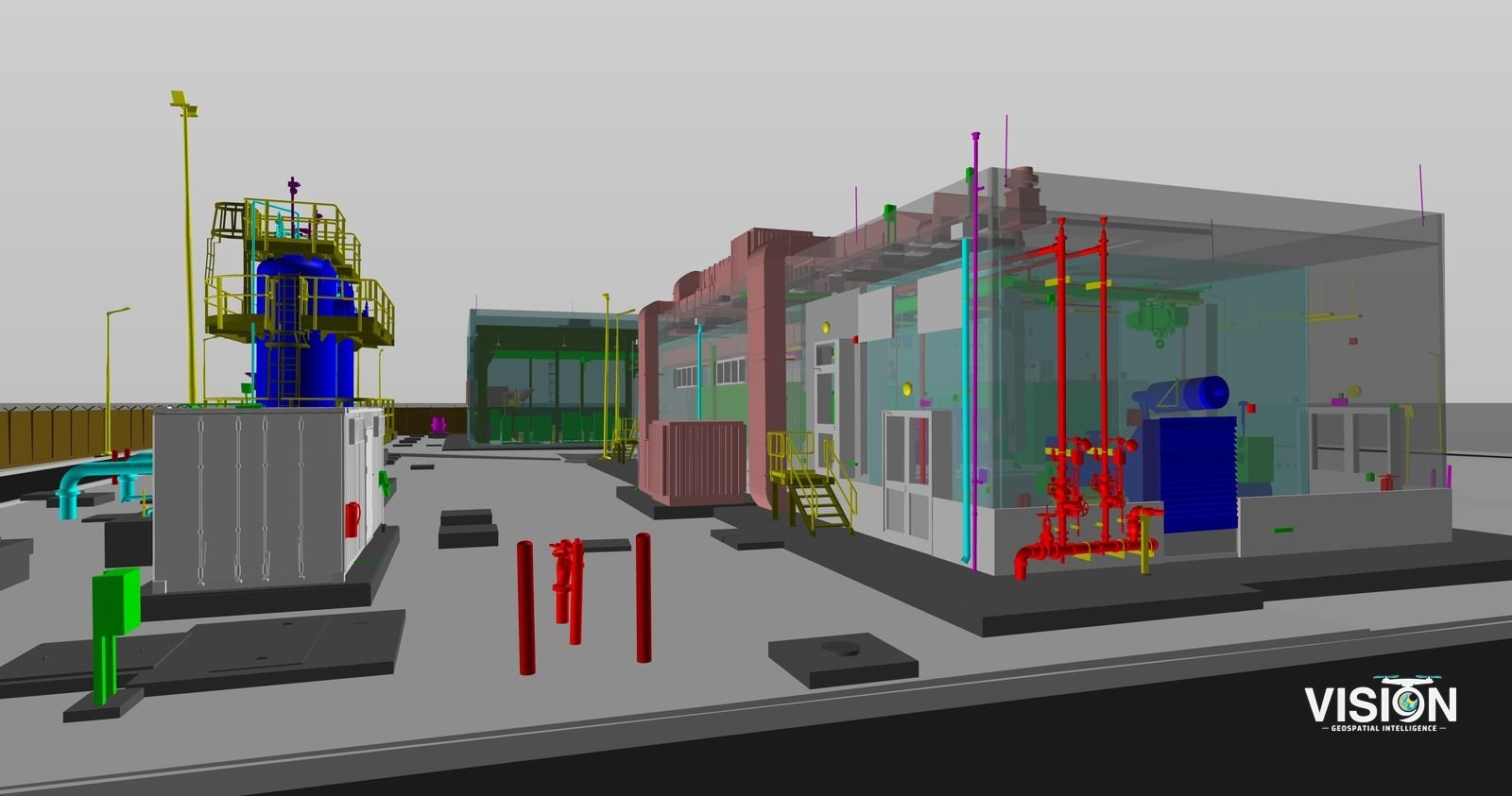
Industrial as-built and 3D modeling
Laser scanning of an existing mechanical facility, with 3D models and CAD drawings built from the data.
View project