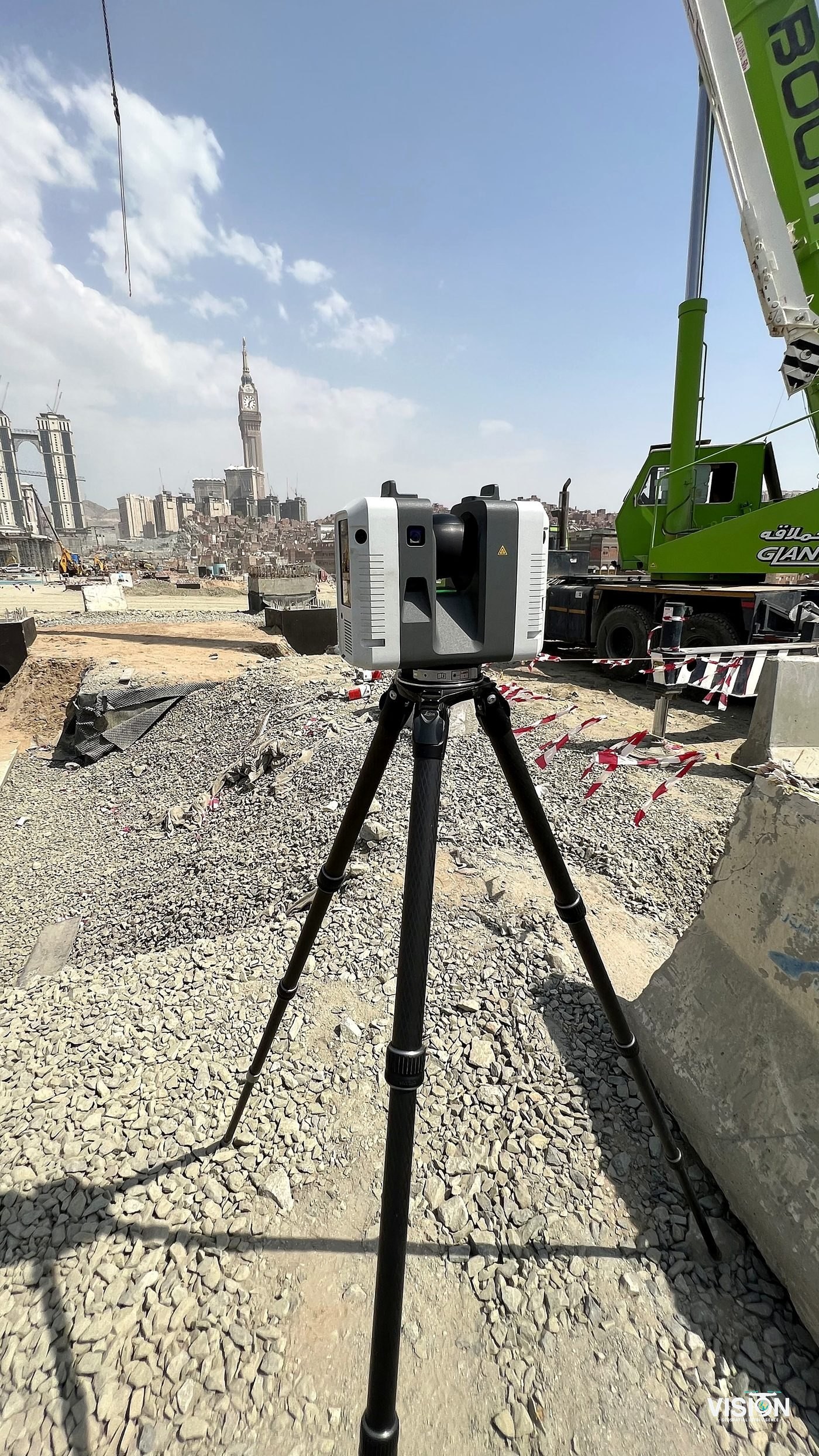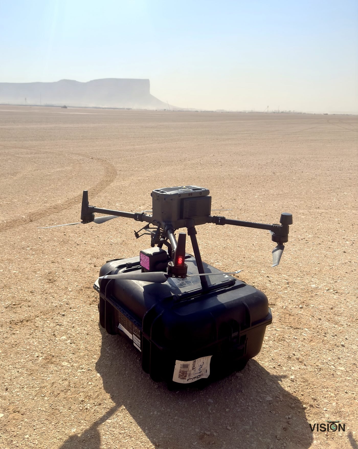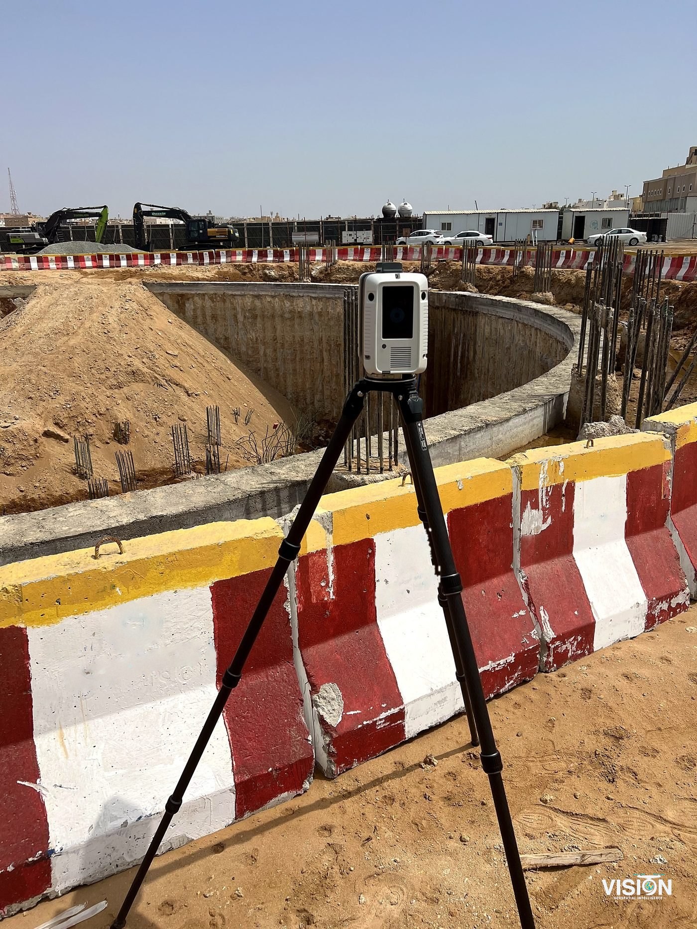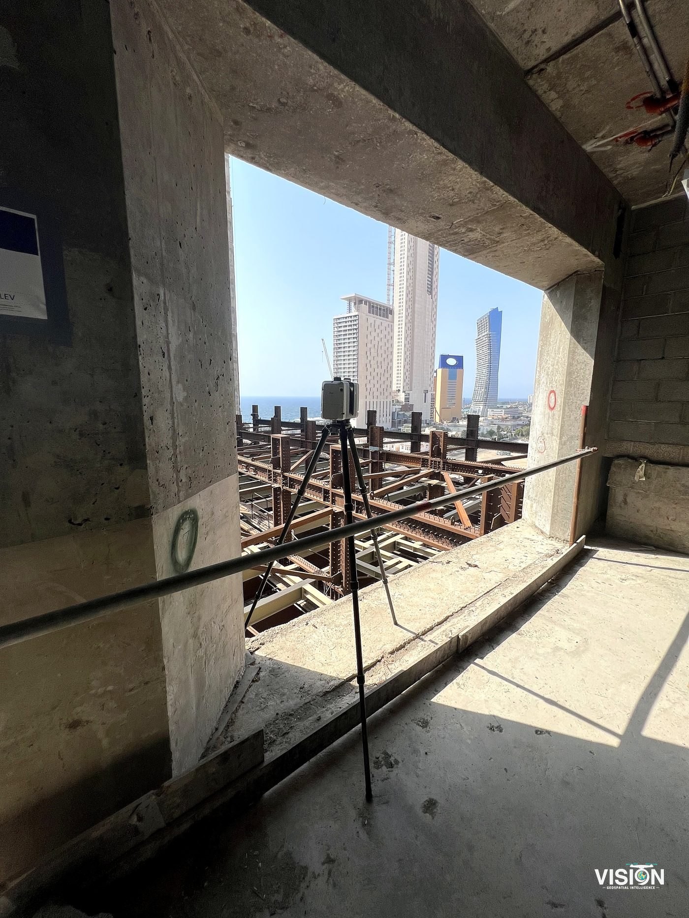

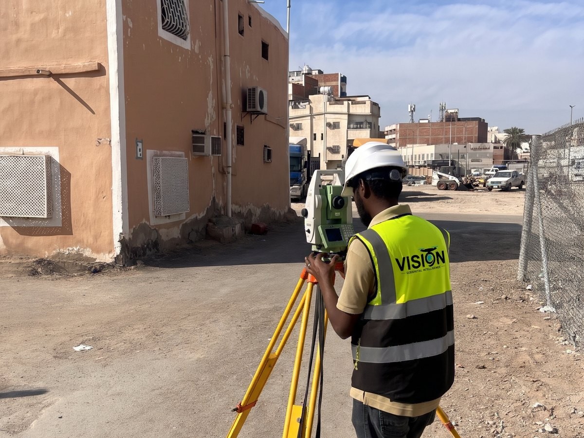
Land surveying and control
We take the ground measurements that design and construction start from, and set the control network that ties all other data together.
- Deliverables
- Survey drawings (DWG), control reports, utility plans, corridor point clouds
- Equipment and software
- Trimble R12 GNSS, total stations, Mobile Mapping system, GPR, CAD and GIS software
How we work
Plan
Scope, accuracy and the coordinate system agreed before fieldwork.
Control
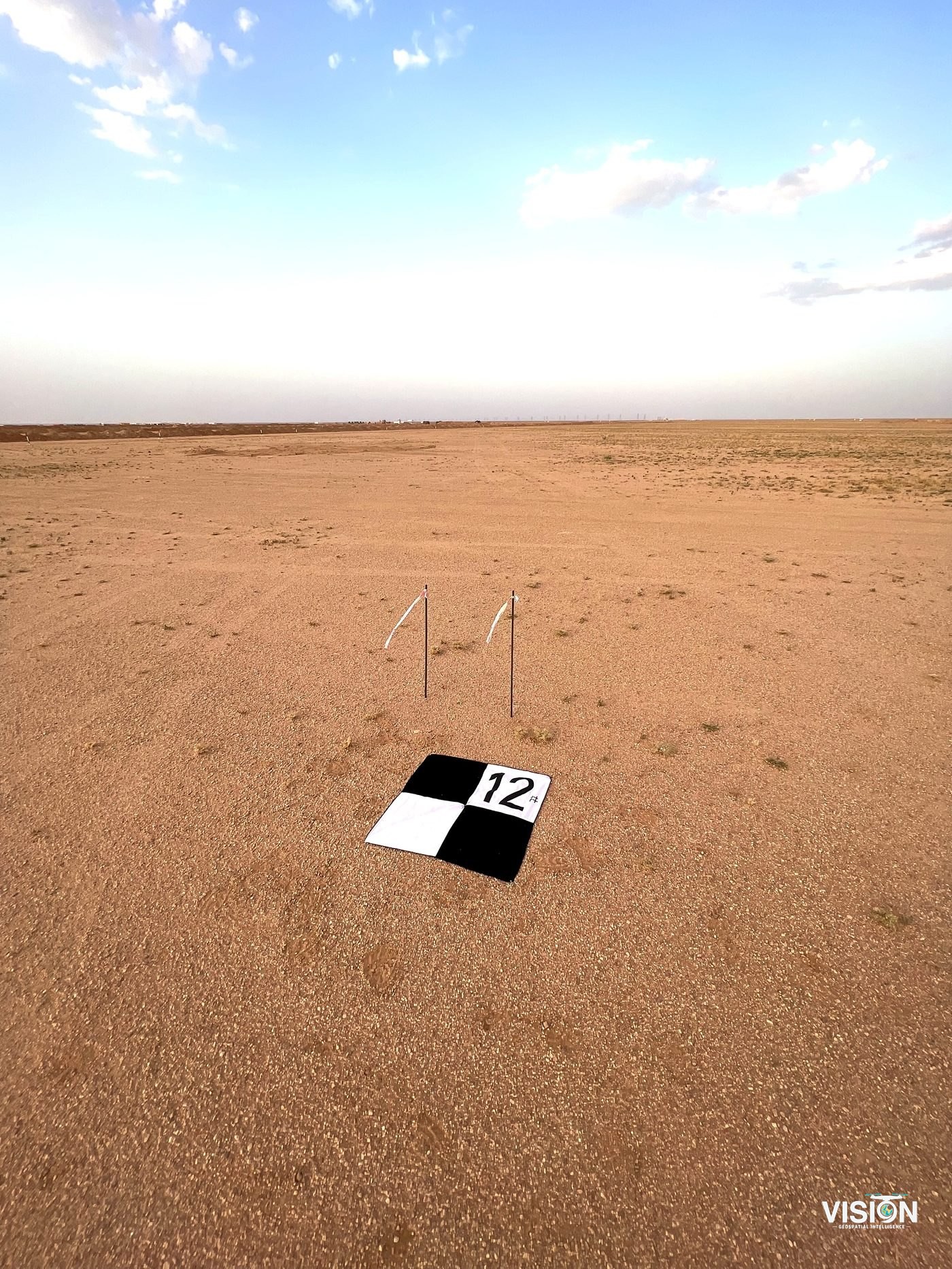
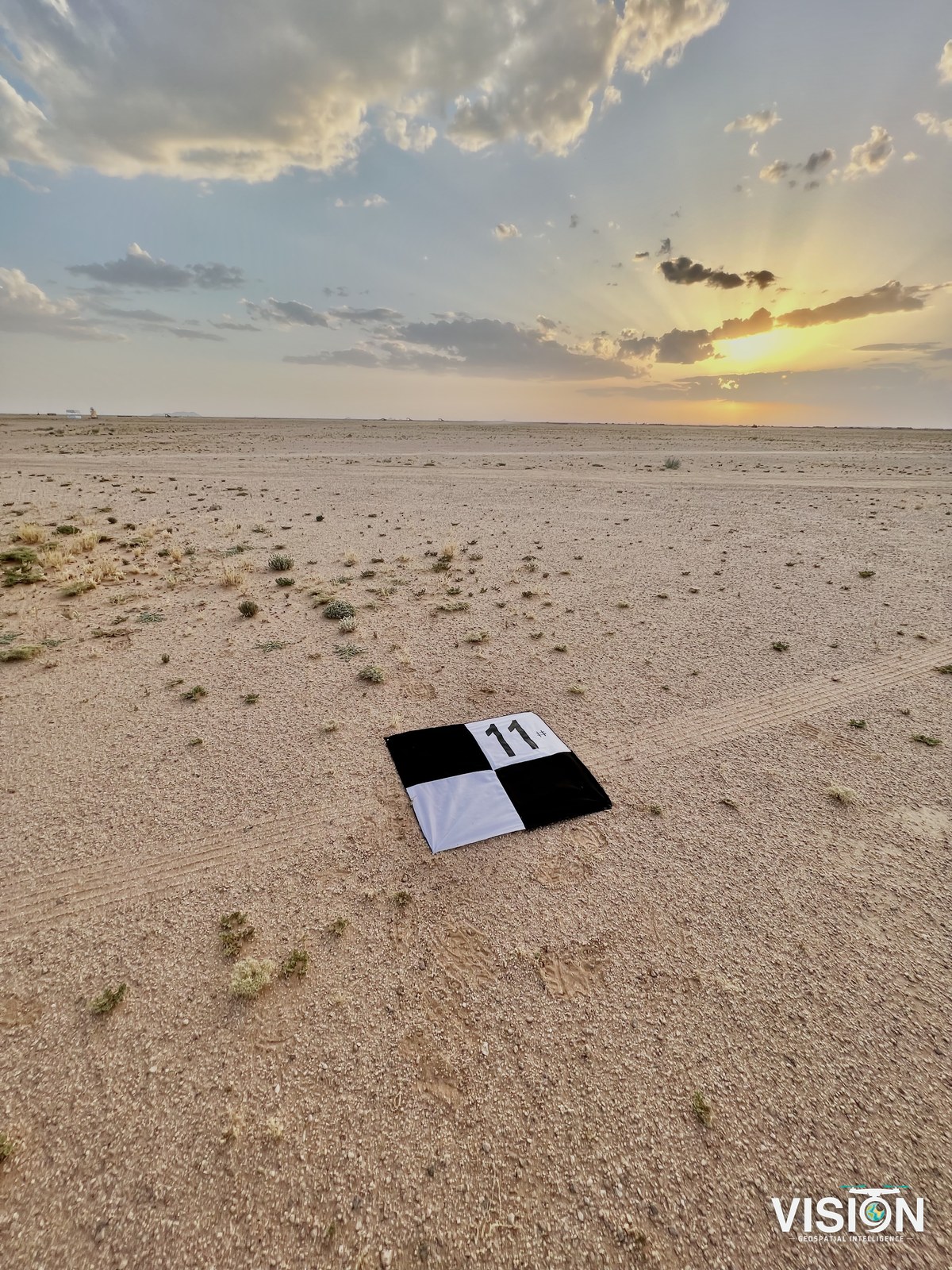
Survey control established and checked with GNSS.
Field survey
Measurement with GNSS, total station, Mobile Mapping or GPR, as the work needs.
Drafting
Field data processed and drawn in CAD.
Deliver
Drawings, coordinates and a survey report.
Ground survey
Topographic survey
Levels, features, utilities and boundaries of a site, in CAD drawings and surface models.
Engineering and construction survey
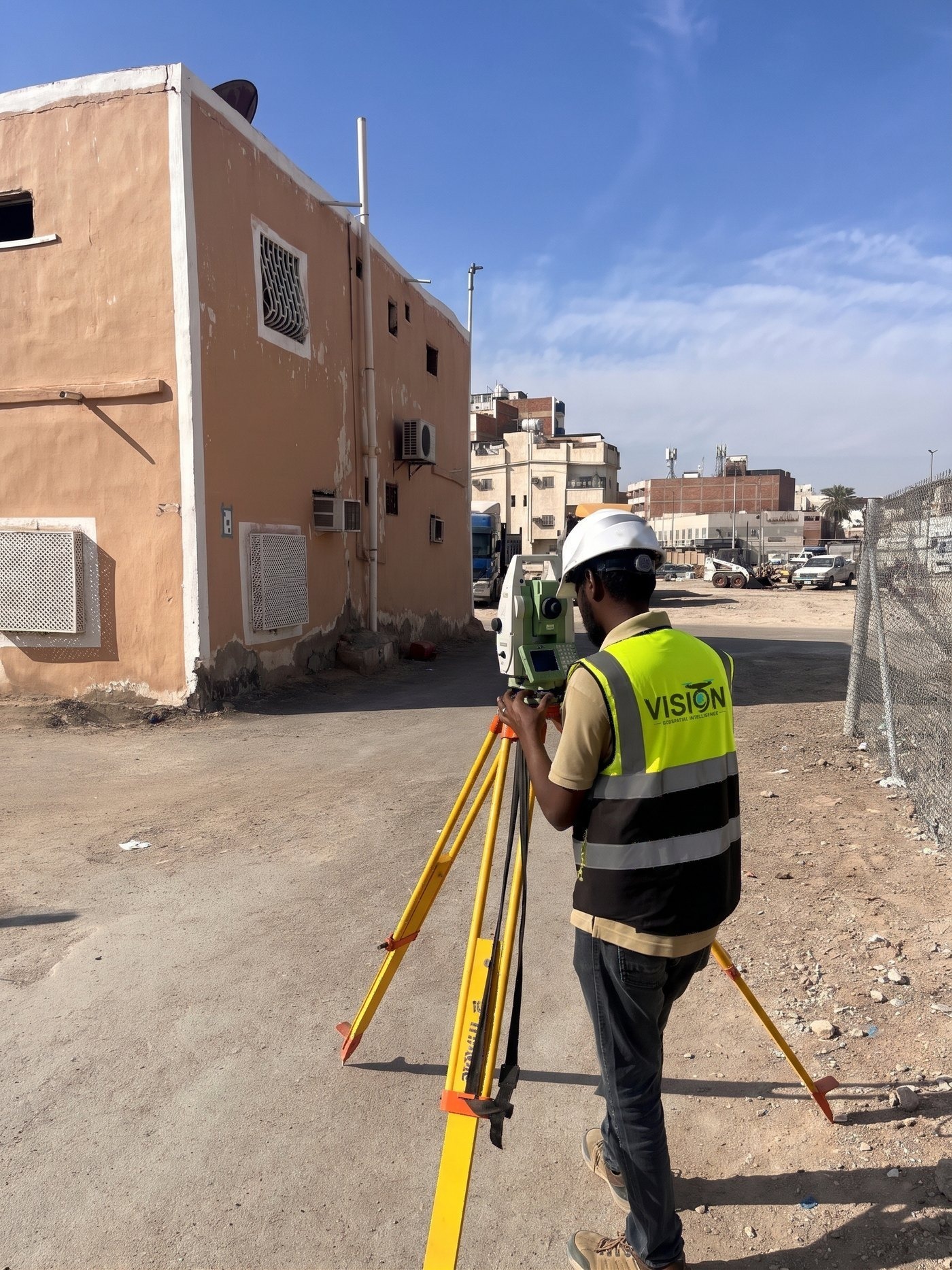
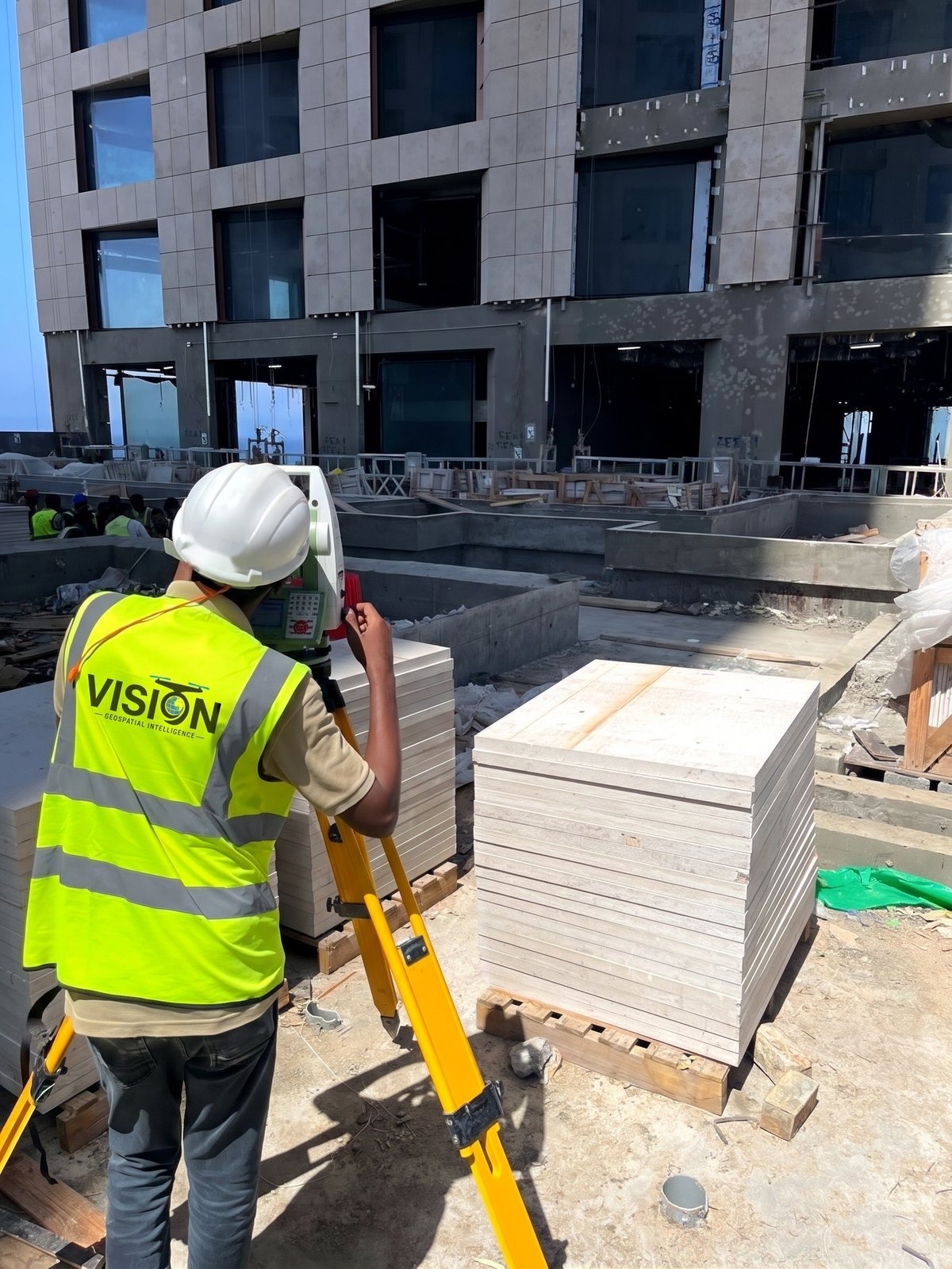
Setting-out, survey support through the construction stages and as-built checks against the approved drawings.
GNSS control networks
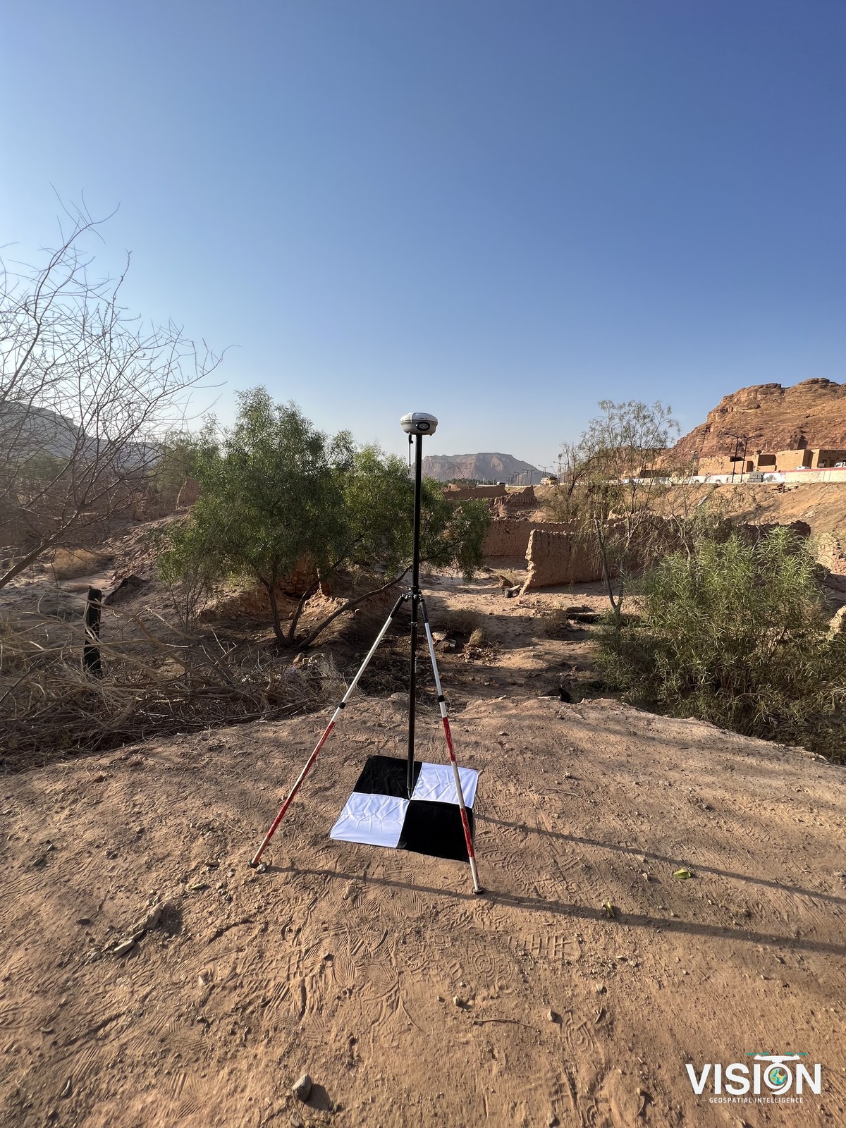
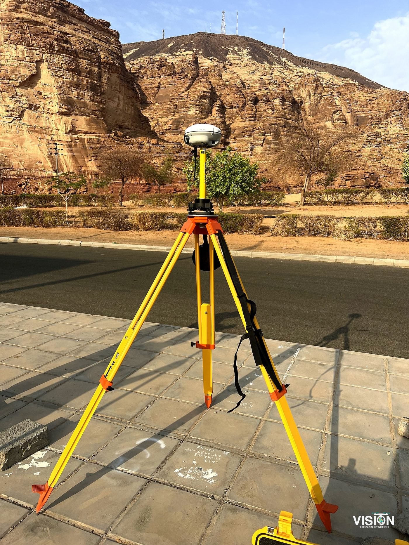
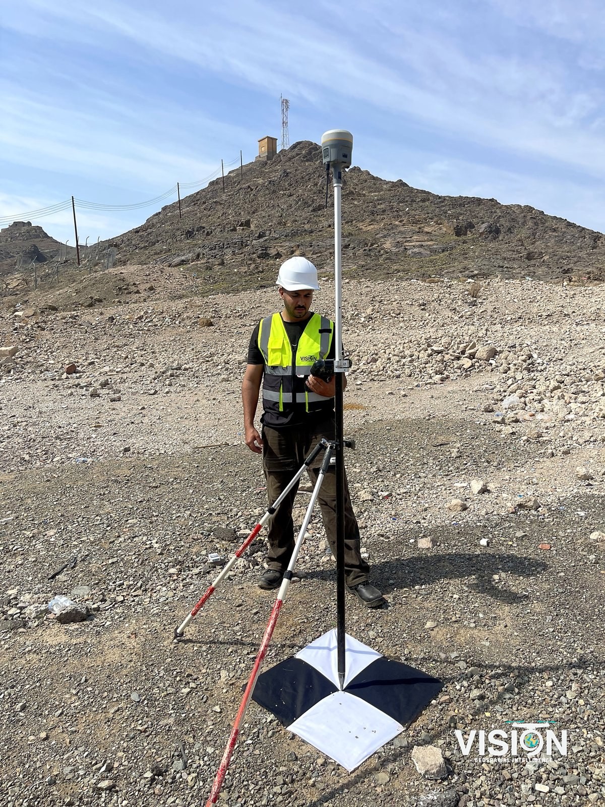
Primary and secondary control with geodetic GNSS receivers (Trimble R12), adjusted and documented.
Cadastral survey
Boundary definition and parcel mapping.
Road and infrastructure survey
Corridors, cross-sections and profiles for design and rehabilitation.
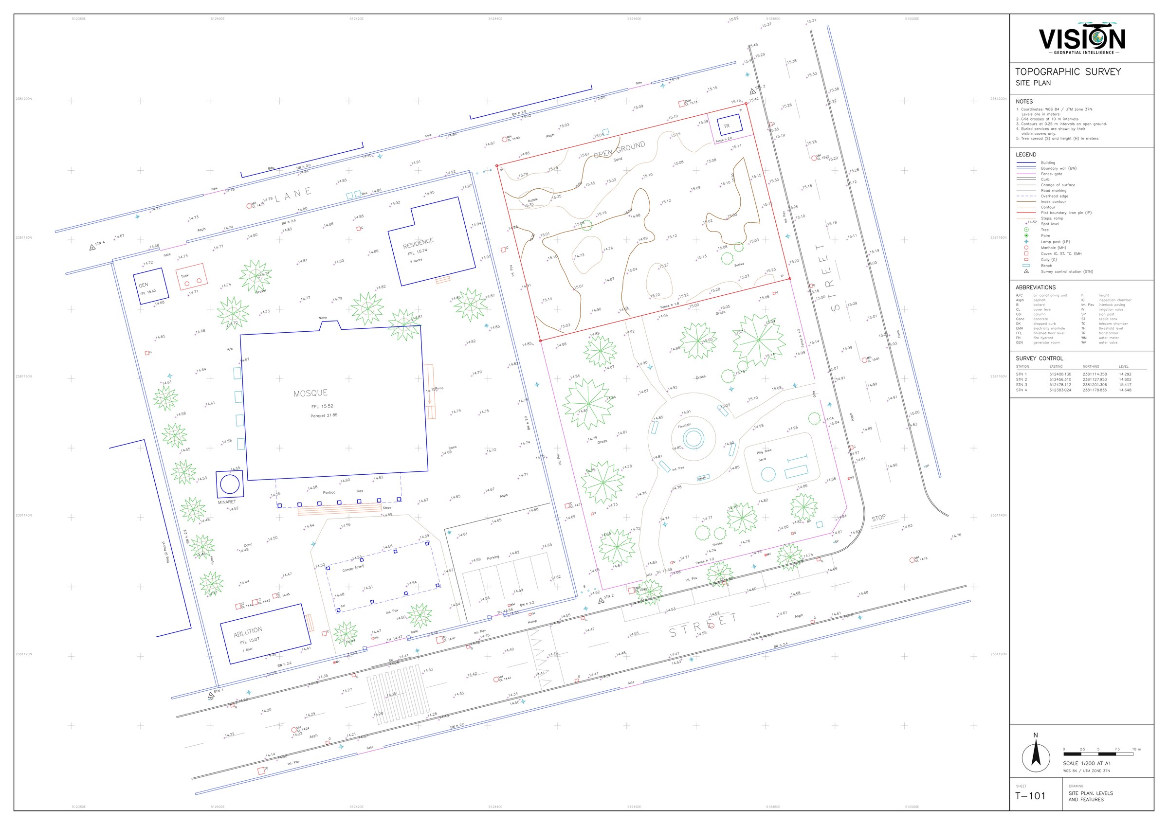
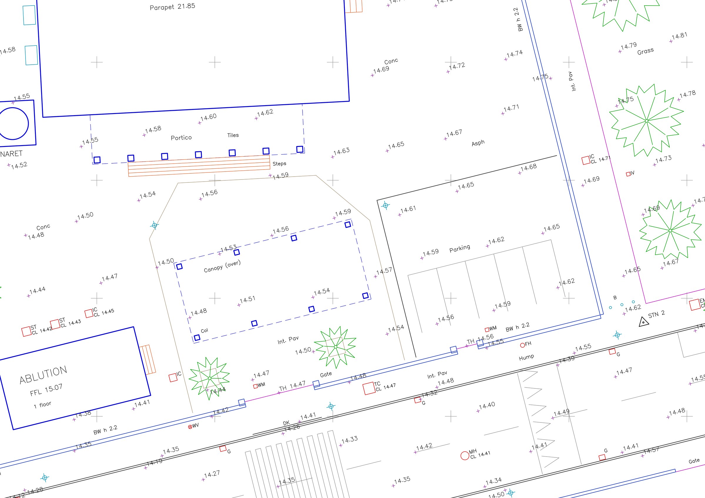
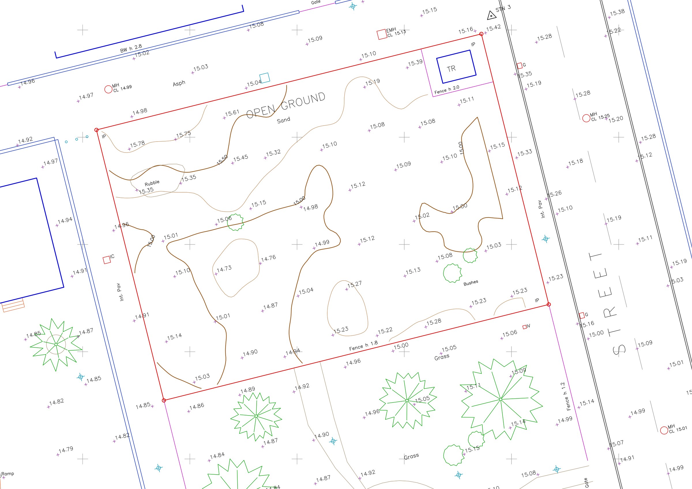
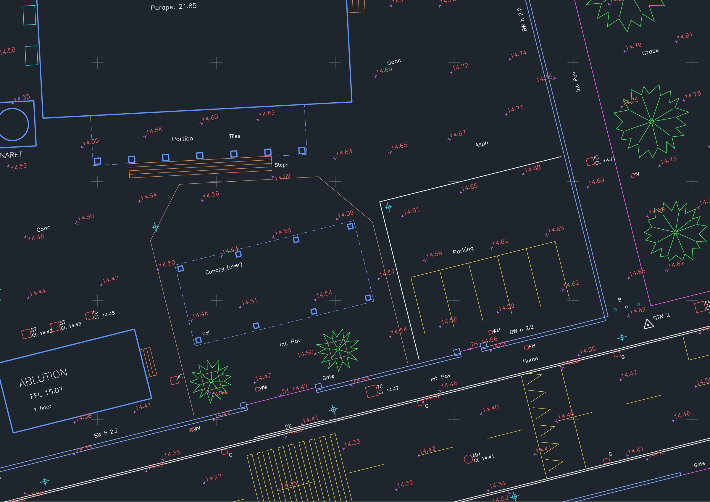
Example of a topographic survey
A topographic survey sheet records the levels of a site, its boundaries, buildings, surfaces, trees and visible services, on the project grid. Open the sheet at full size to read it.
Mobile Mapping
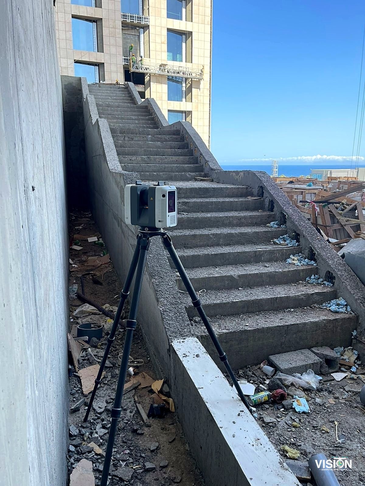
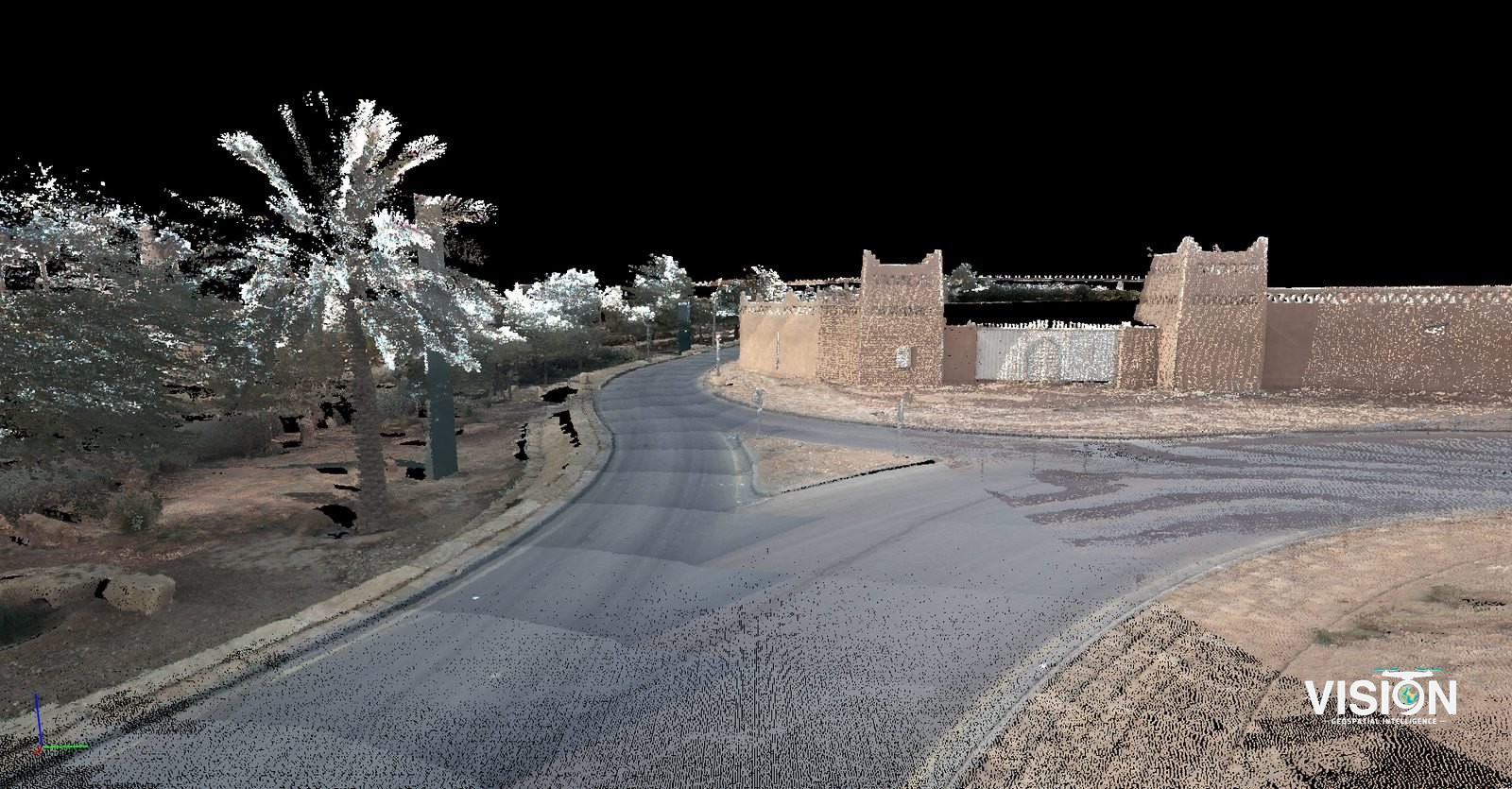
The vehicle-mounted system scans the road surface and its visible features, such as curbs, lighting poles, signs and facades.
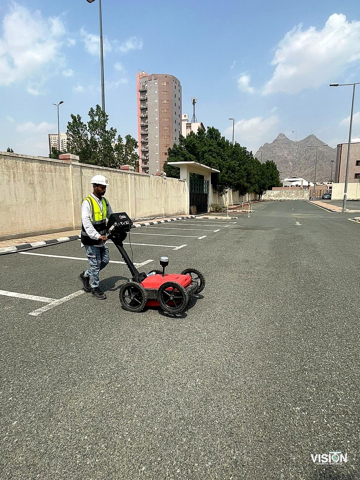
Underground utility detection (GPR)
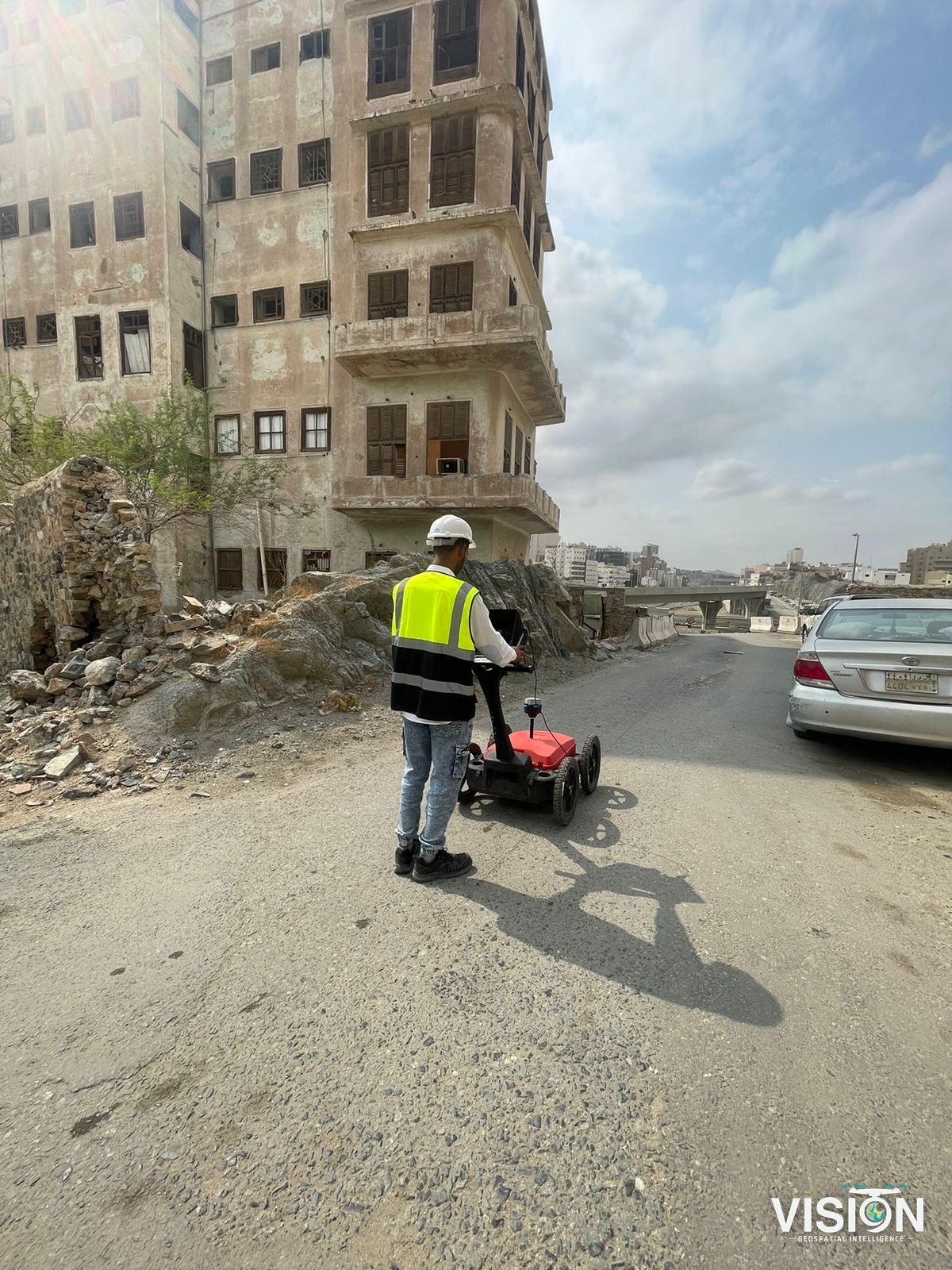
Before excavation we scan the site with a GPR unit to find the utilities under the ground and their approximate depth, then draw them on the site plan with their coordinates.
- Water and sewer pipes
- Power and communication cables
- Buried tanks and chambers
Outputs
Survey drawings
Topographic and engineering drawings in DWG and PDF.
Control and coordinates
Control point lists and coordinate files, with a survey report.
Setting-out data
Points prepared for setting out on site.
Mobile Mapping data
Road point clouds, imagery and mapped features.
Utility maps
Detected utilities located on drawings or GIS layers.
Equipment and software
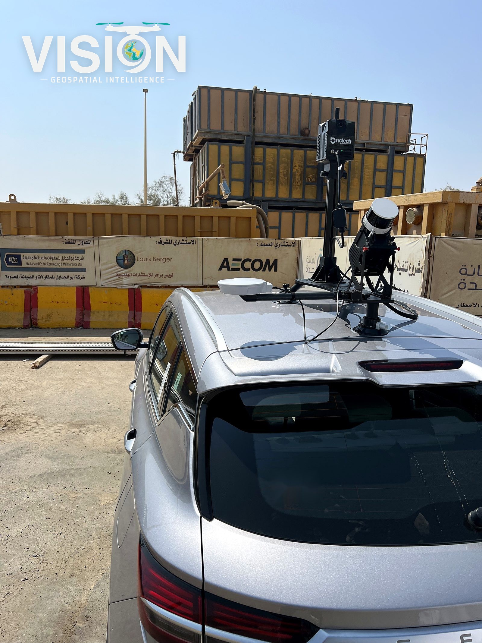
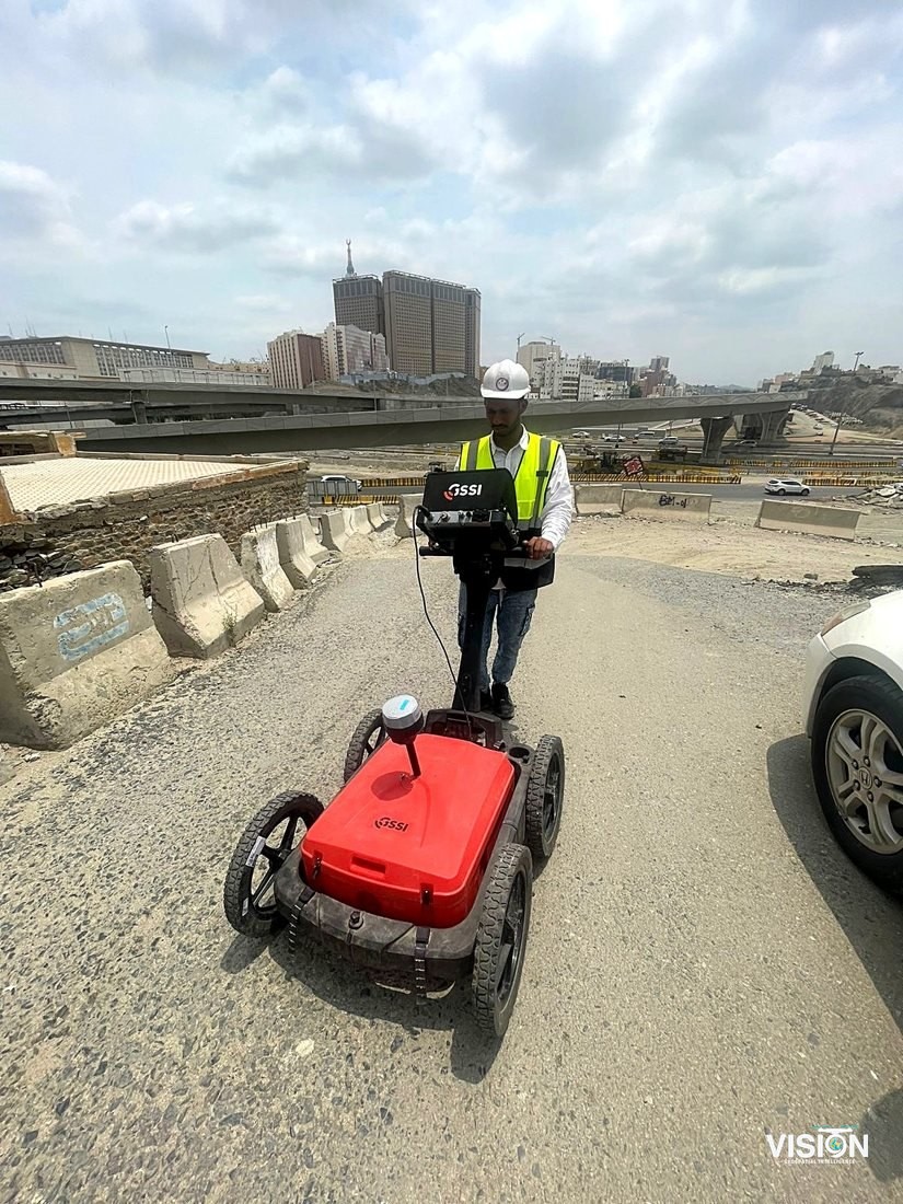
Software and processing
CAD drafting
Survey drawings, sections and setting-out data prepared in CAD.
GIS
Survey results delivered as GIS layers where needed.
Control reports
Control points, methods and checks documented in a report.
Main software we use
 Trimble Business CenterVCE, CSV
 AutoCADDWG, DXF
 Autodesk Civil 3DDWG, LandXML
 QGISGPKG, SHP
From the field