

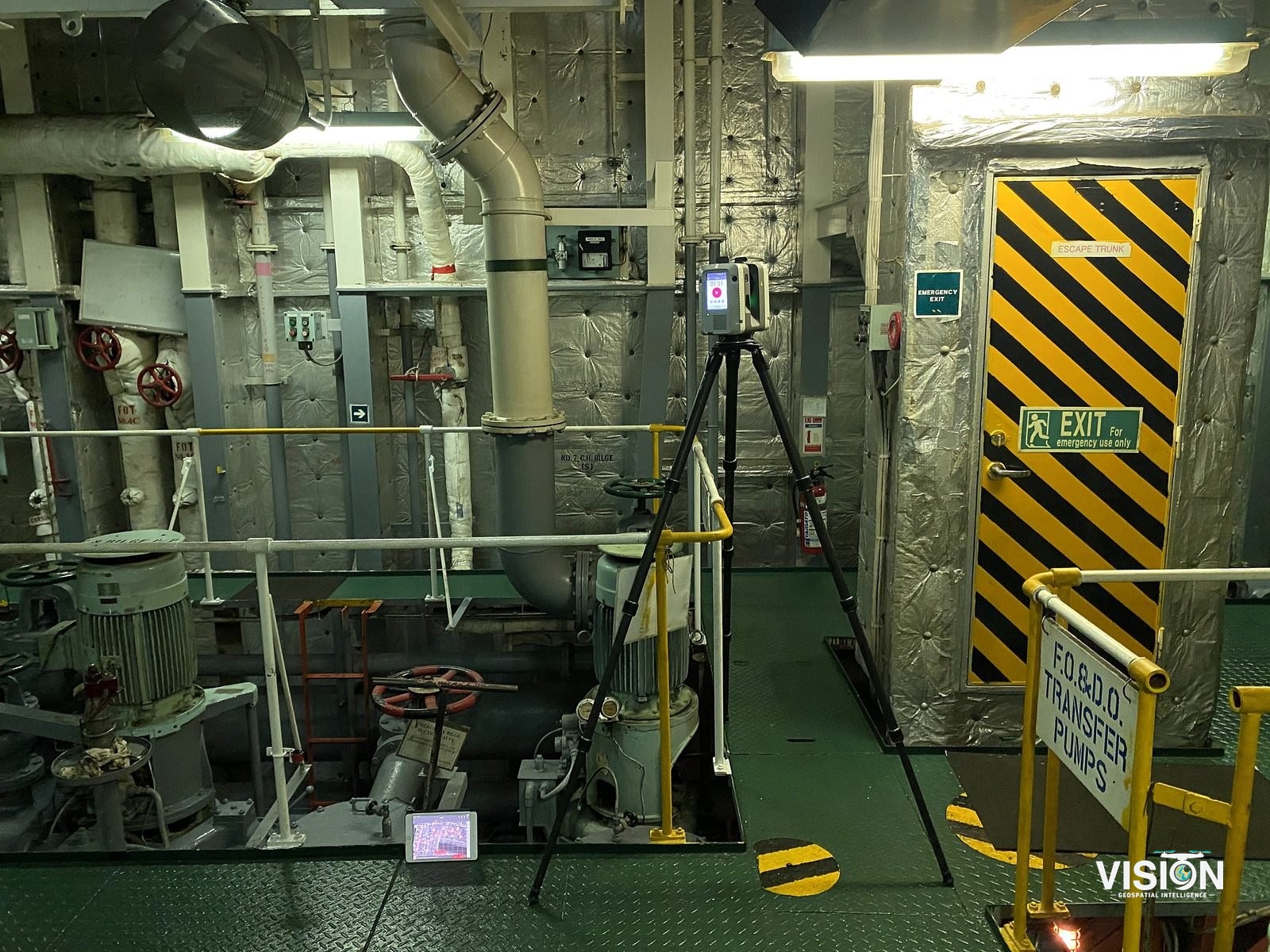
Vessel reality capture
Laser scanning of a working vessel, covering its exterior, decks and engine room, delivered as a registered point cloud and 360° images.
Scope of work
RequirementAs-built documentation of a working vessel.
FieldworkTerrestrial laser scanning with the Leica RTC360 and 360° imaging at scan positions.
ProcessingRegistration into one point cloud, with coverage and fit checked.
DeliverablesRegistered point cloud and 360° panoramic documentation.
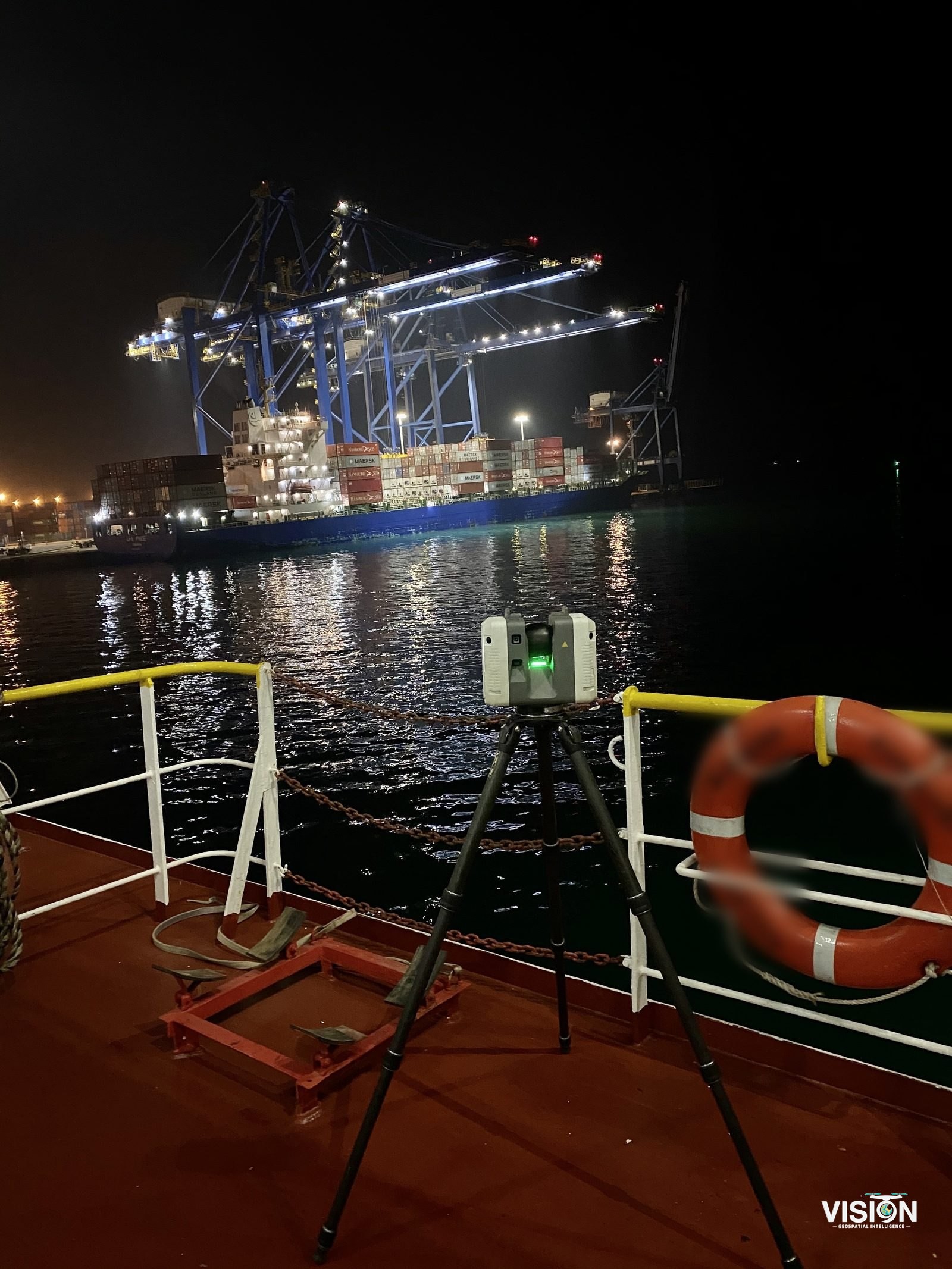
From the scan to the point cloud
On board
1 / 9
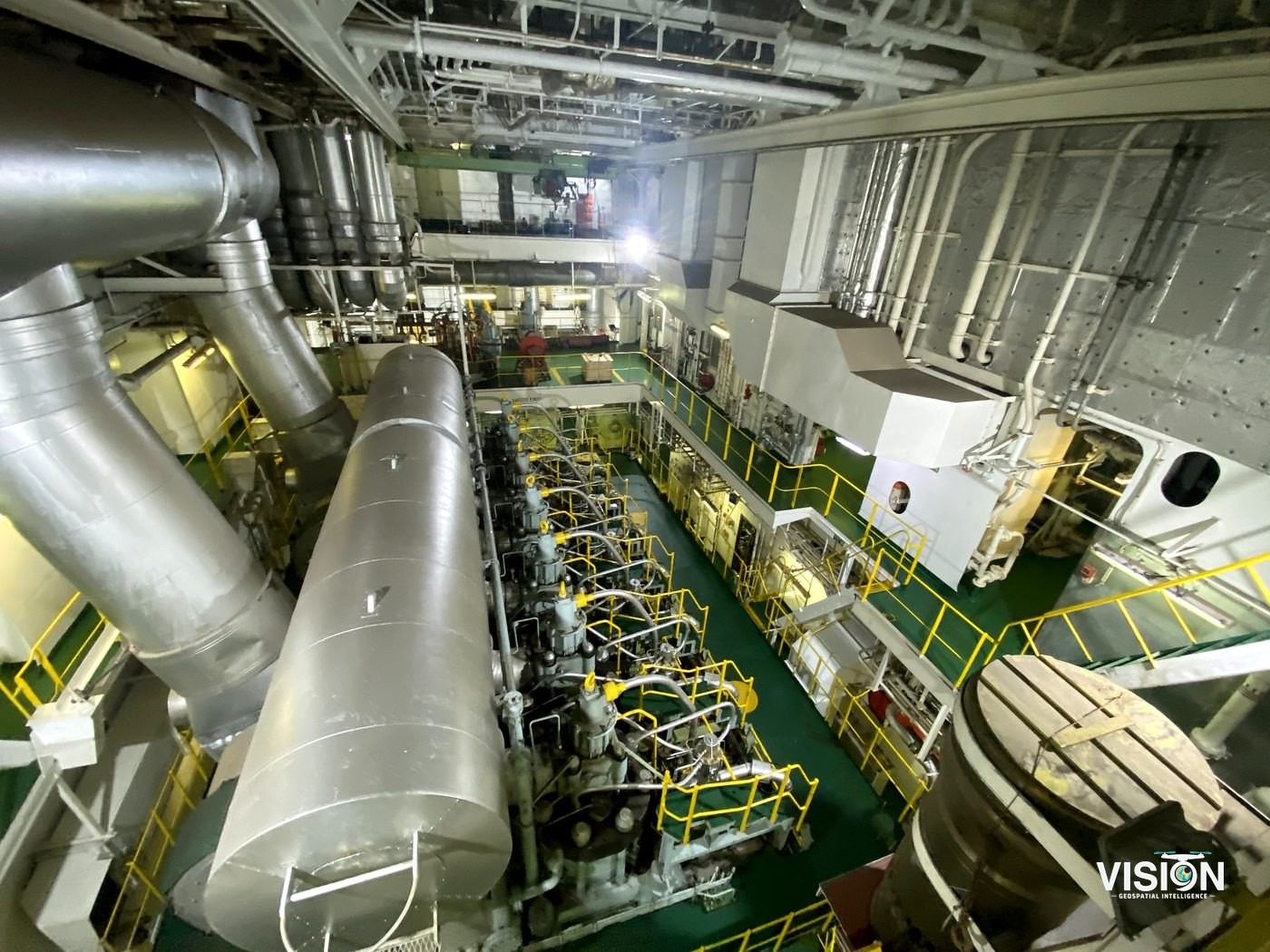
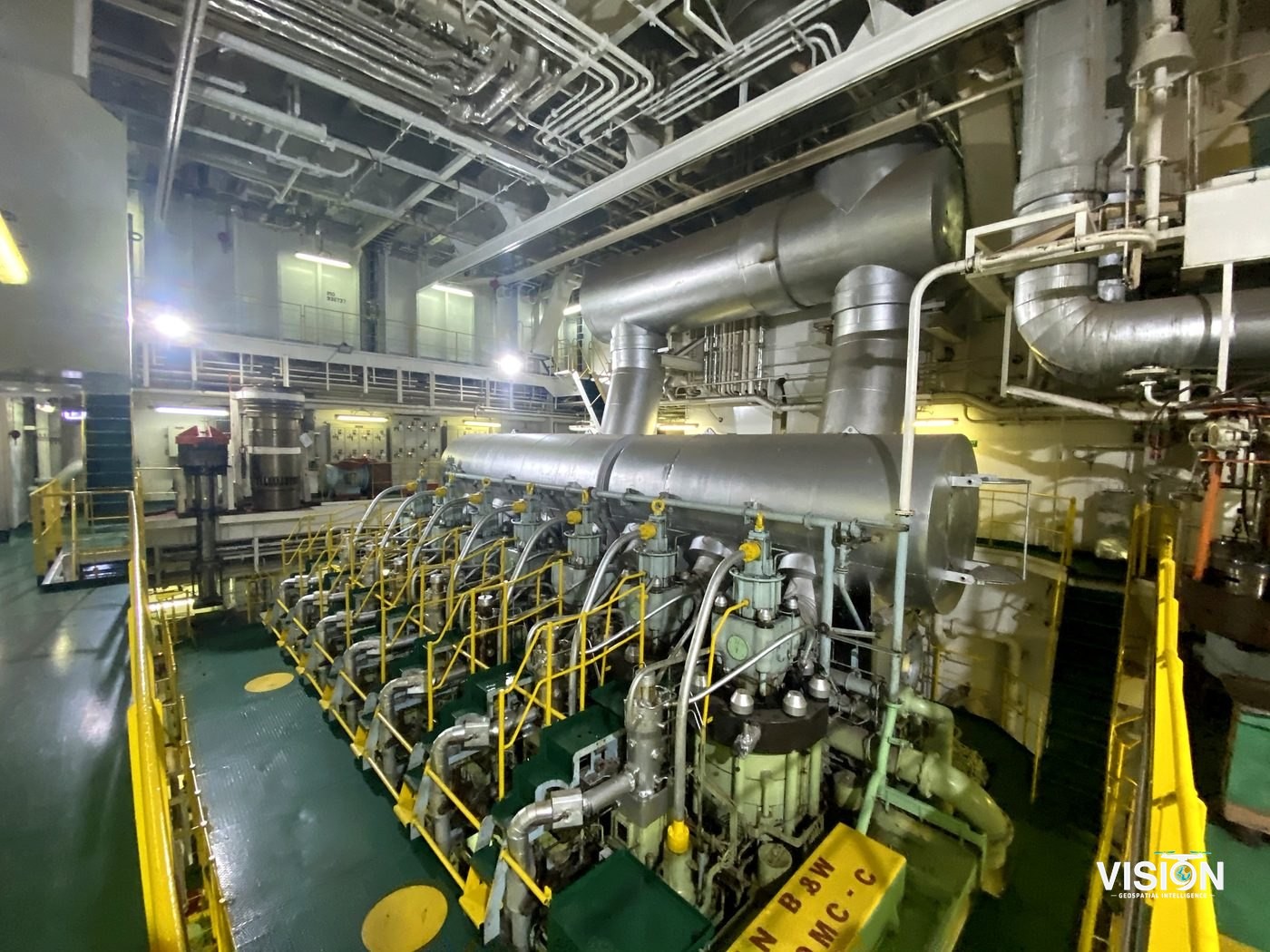
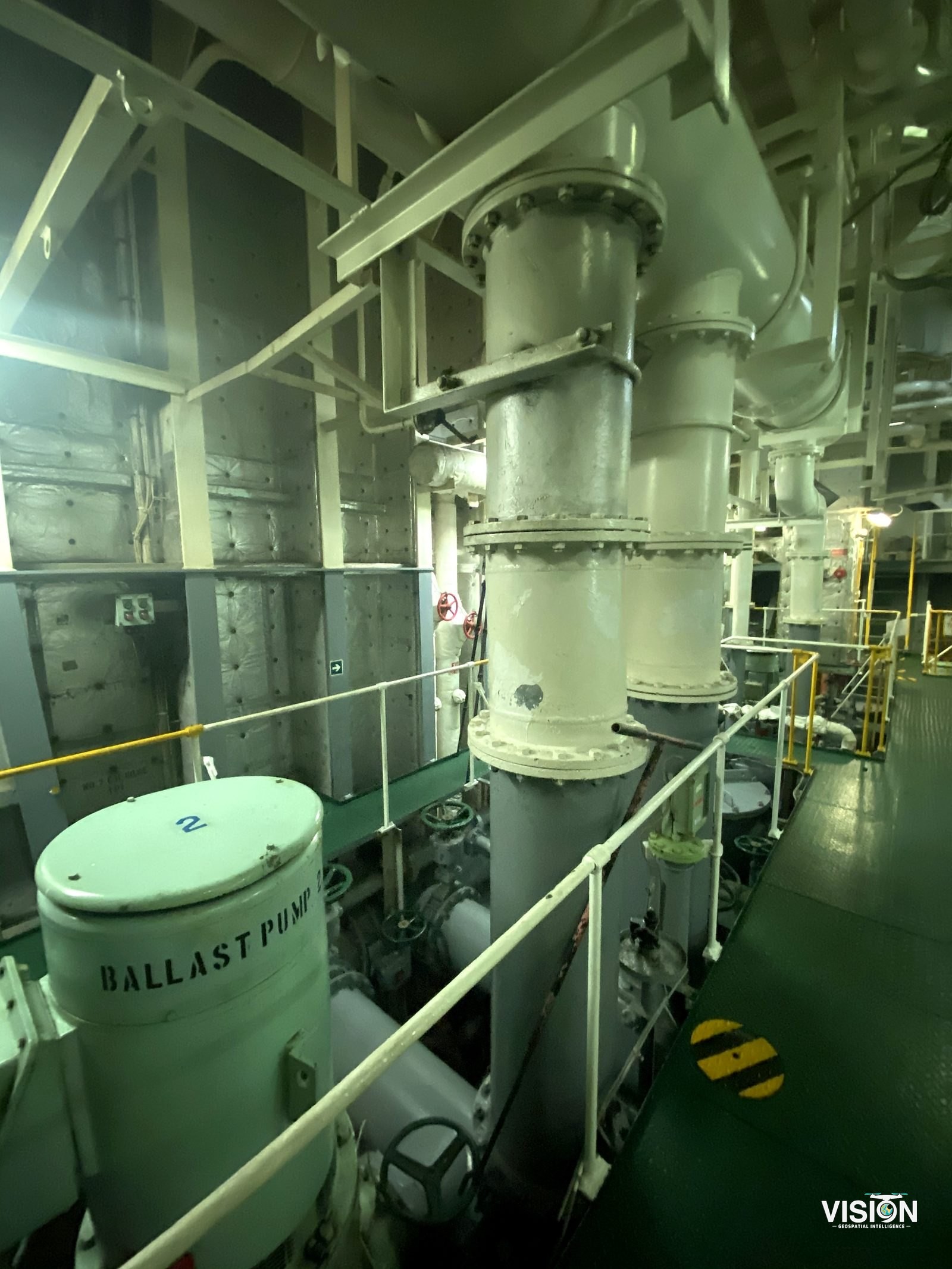
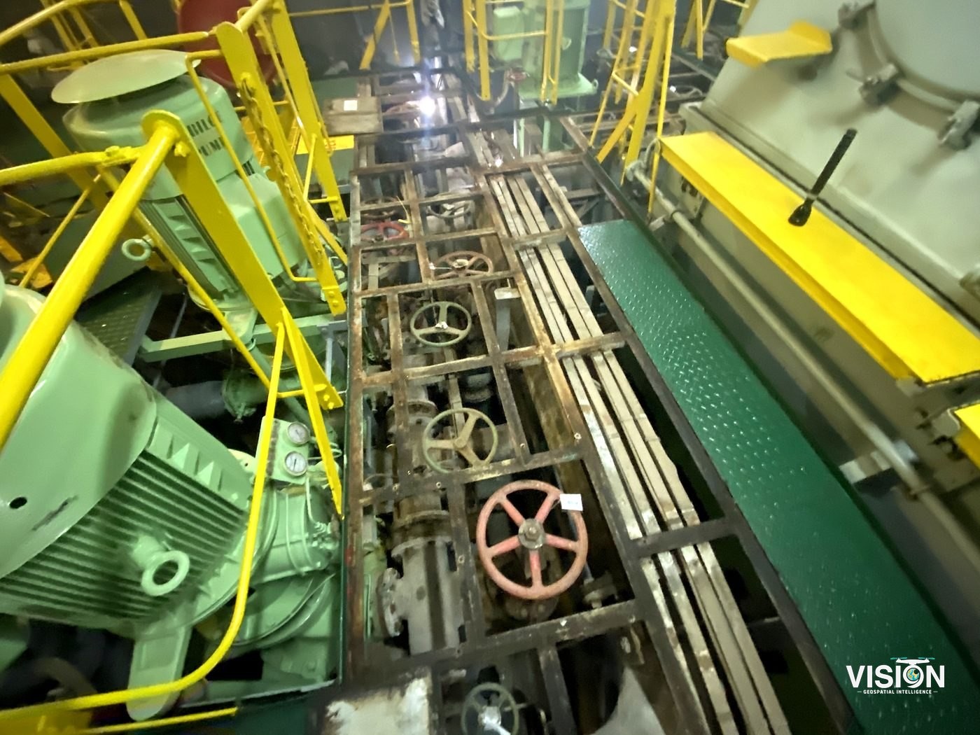
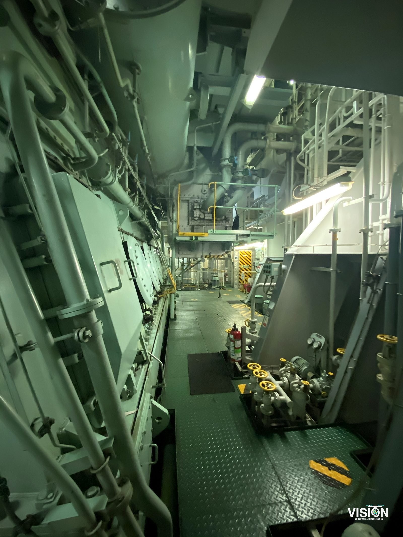
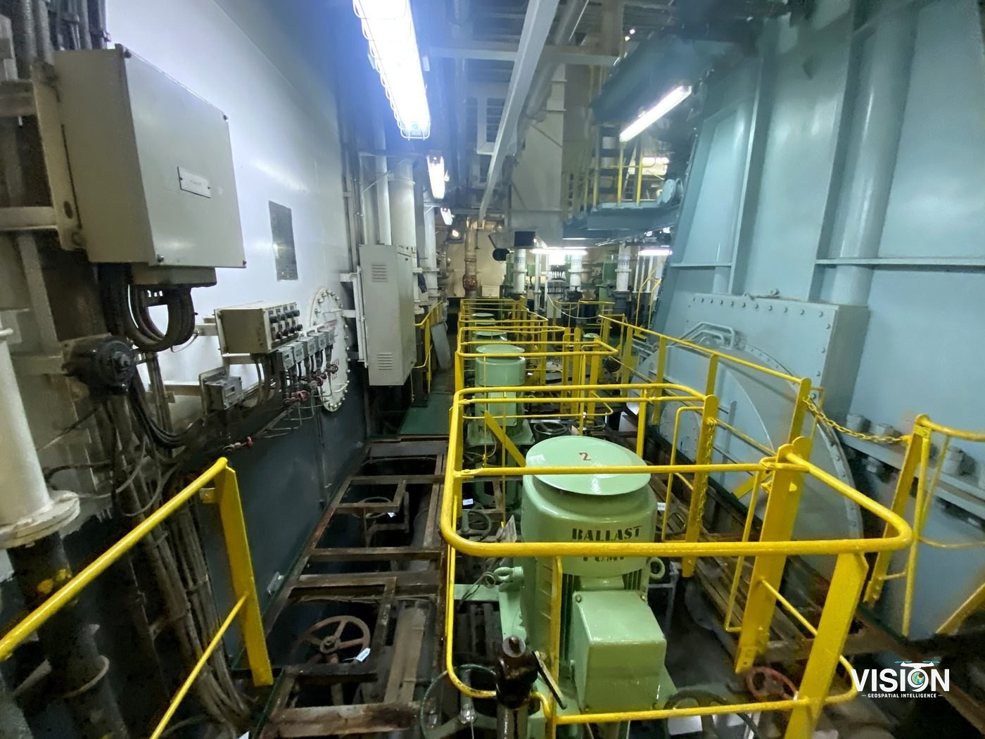
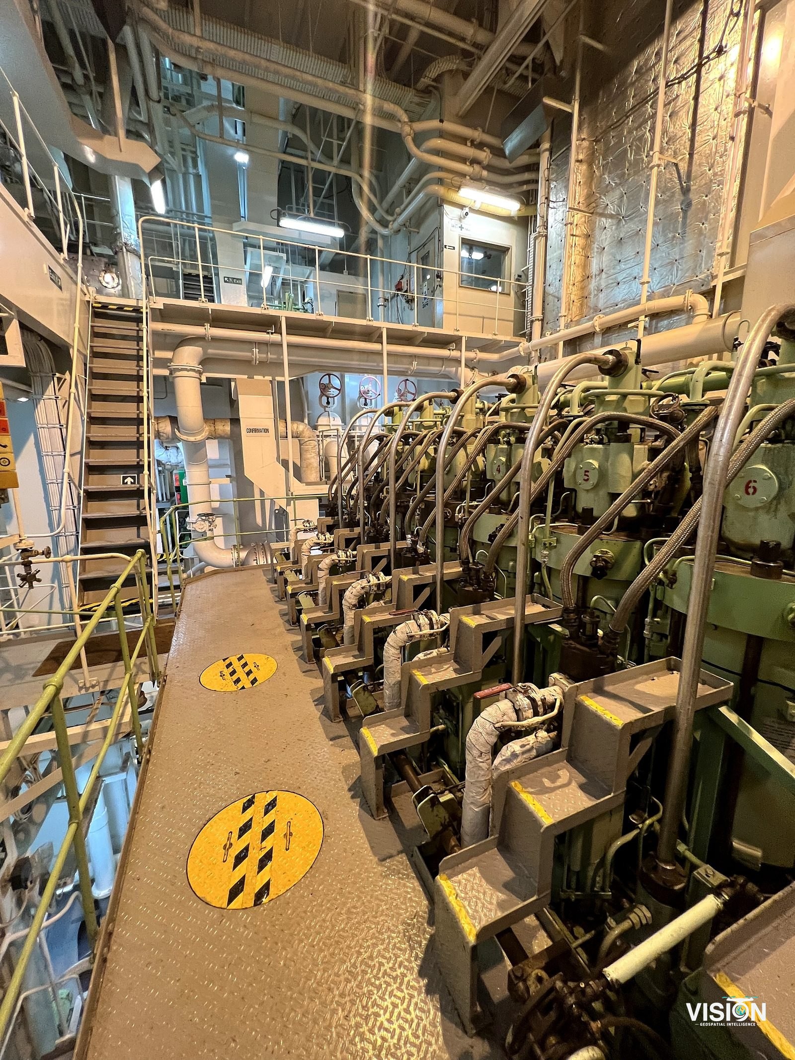
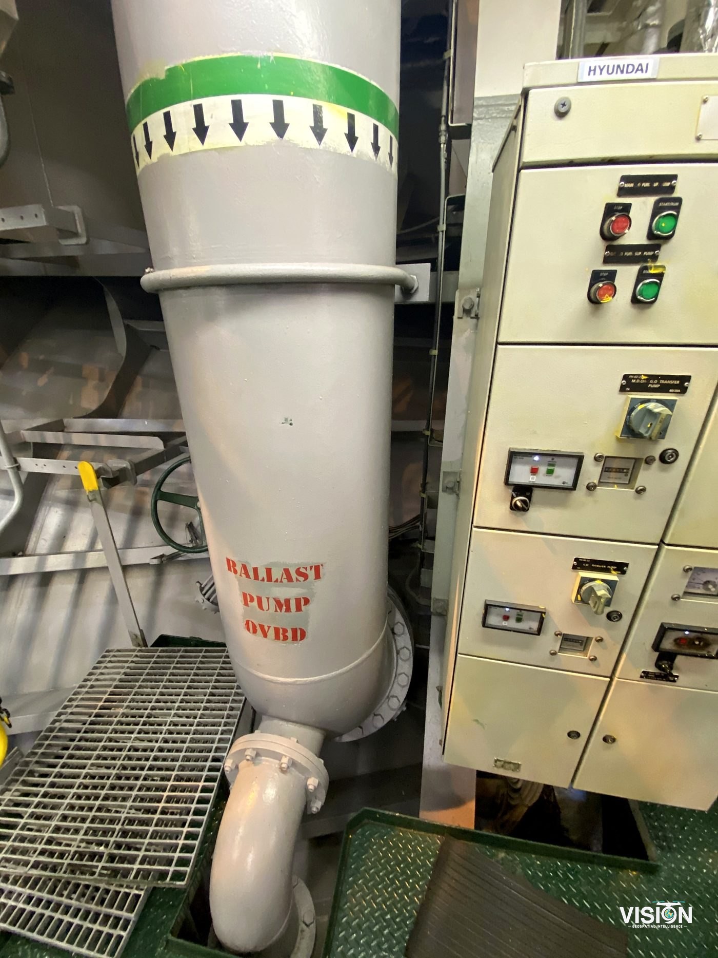
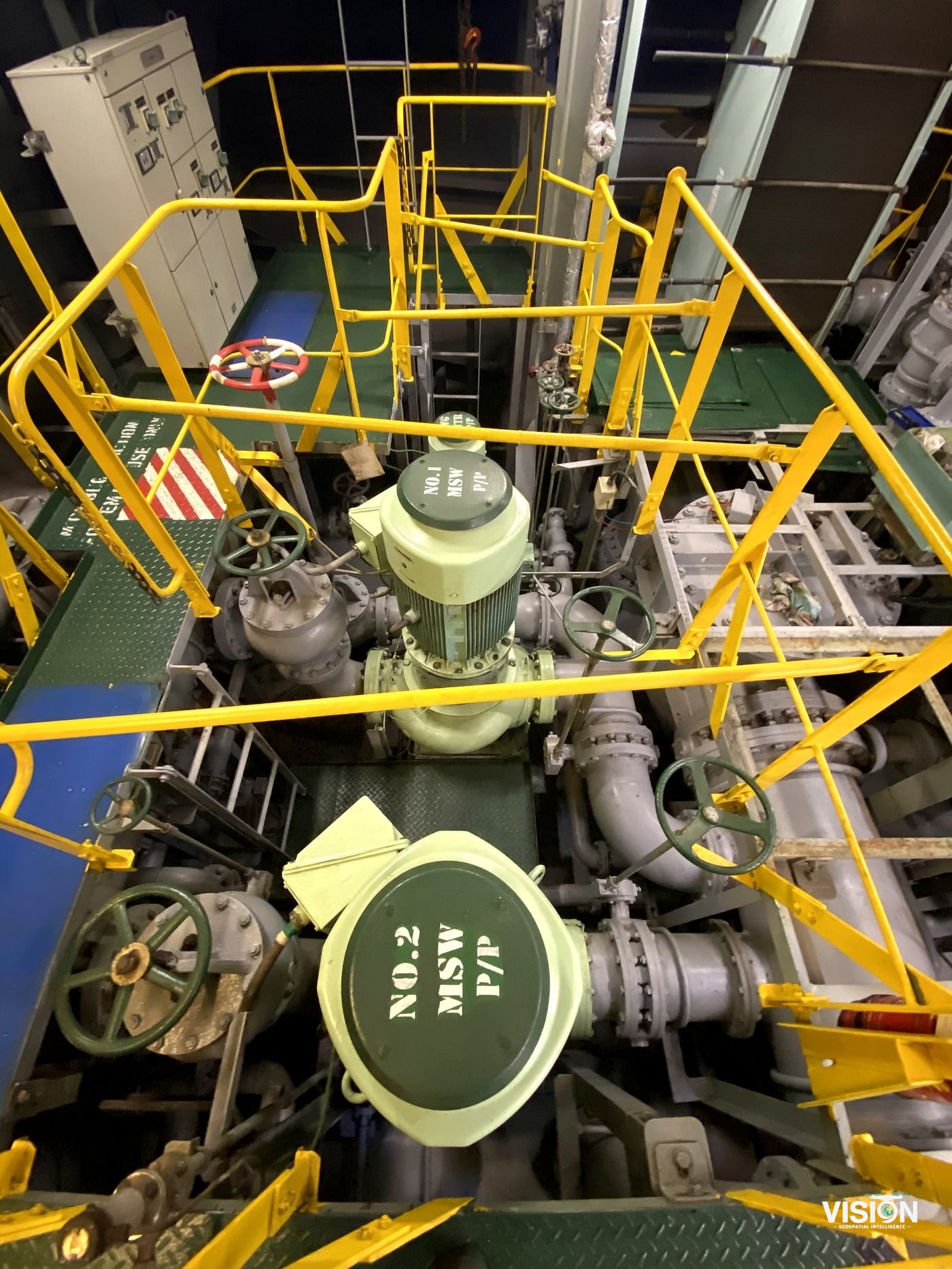
360° documentation
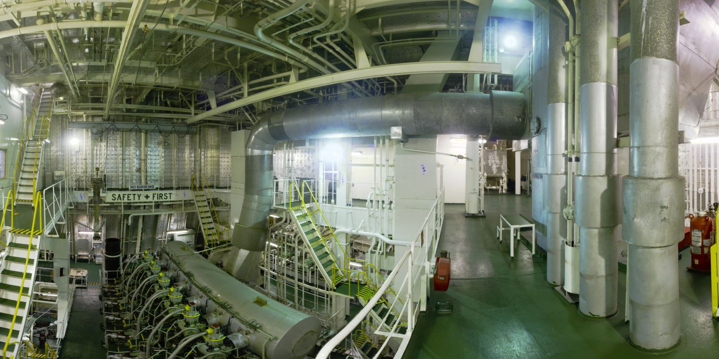
1 / 10
Other projects
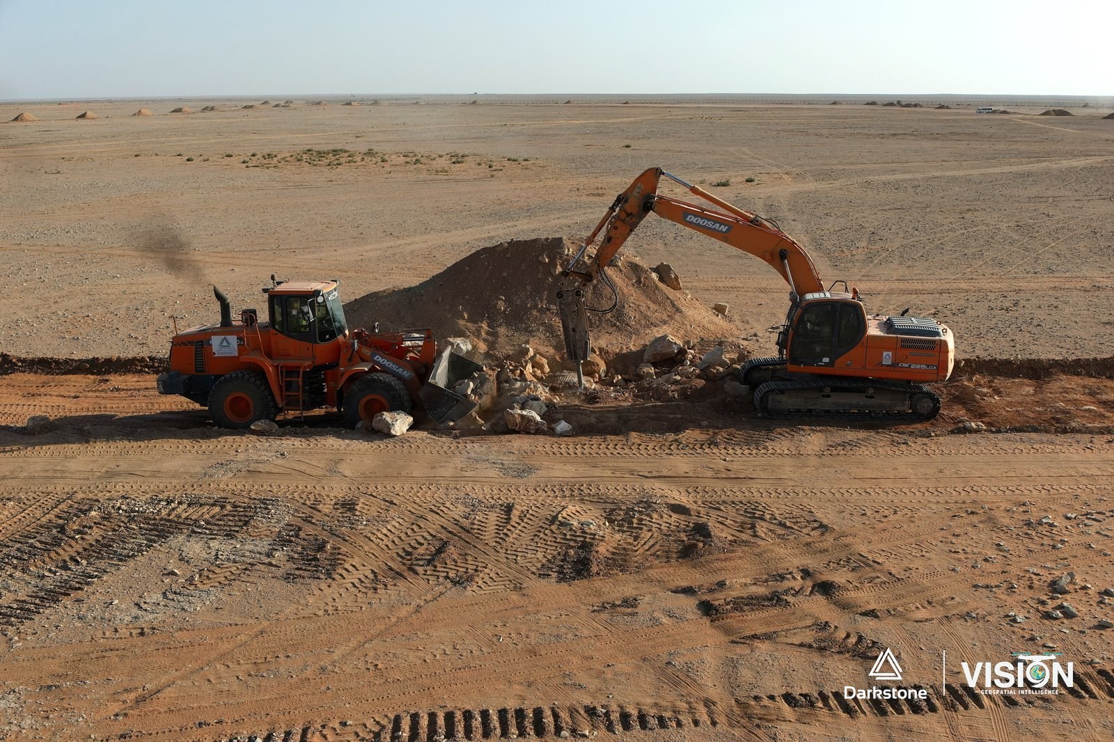
Construction photography and documentation
Aerial photography and video of active construction and grading works, in cooperation with Darkstone Arabia.
View project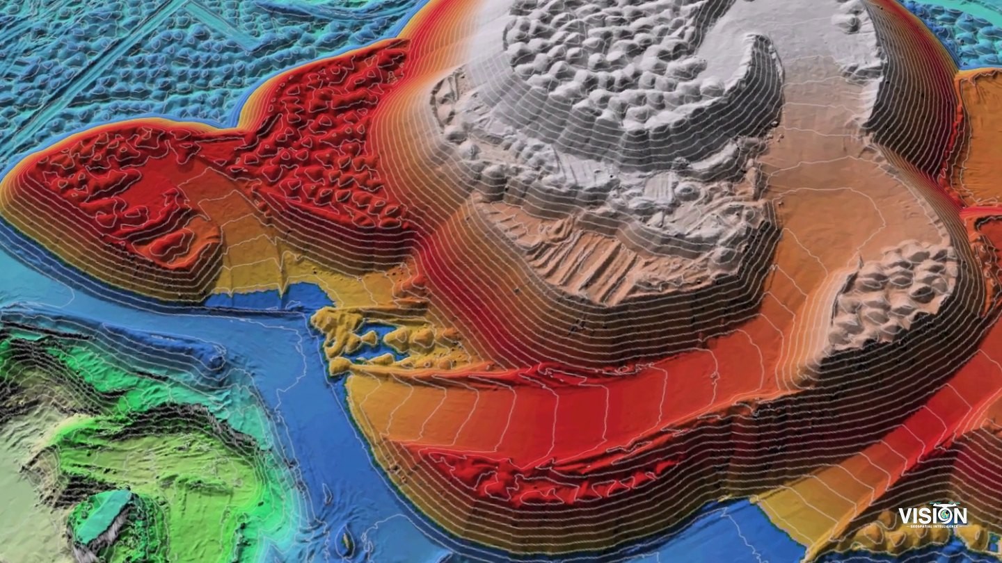
Stockpile volume survey
Aerial survey of stockpiles in storage yards with ground control, and volumes computed from the surface models.
View project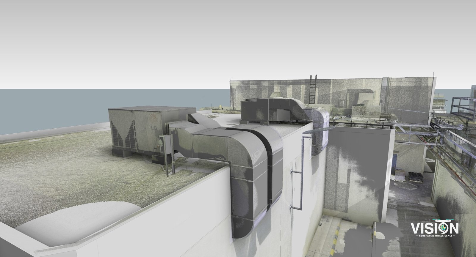
Scan-to-BIM, facility with mechanical equipment
Laser scanning of a facility, with a BIM model checked against the scan data.
View project