

Services
Surveying, spatial analysis, modeling and documentation, from site measurements to the deliverables your project needs.
Our services
3D laser scanning and as-built modeling
We laser-scan existing buildings and heritage structures and prepare the point cloud, BIM model and CAD drawings for documentation and renovation.
Laser scanningScan-to-BIMAs-built drawingsHeritage BIM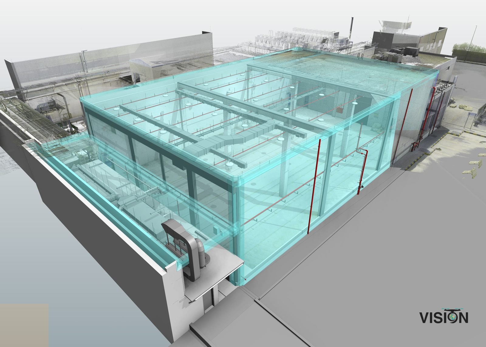
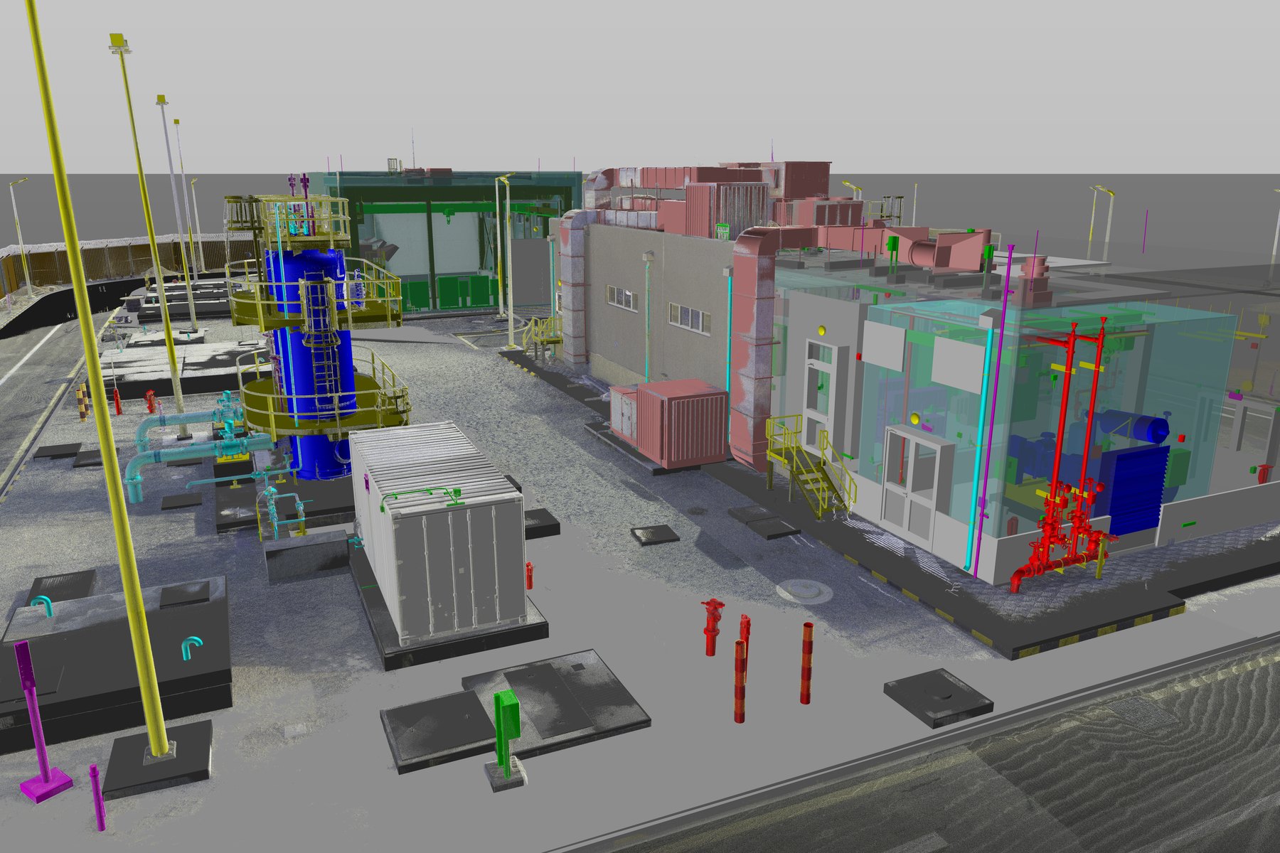
Industrial and marine digitization
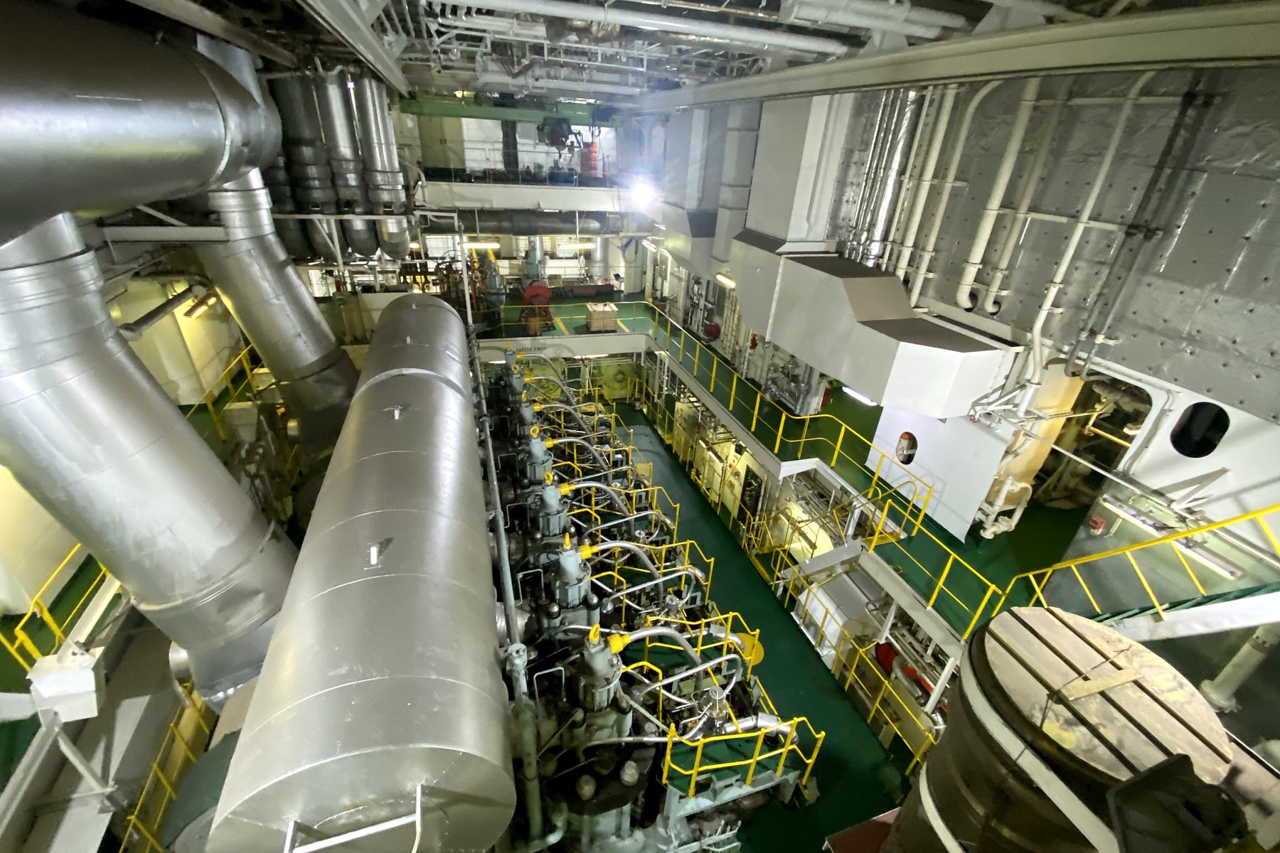
We scan industrial plants, mechanical facilities and vessels to record equipment and piping before retrofit or maintenance, and deliver point clouds, 3D models and CAD drawings.
Plant as-builtVessel scanningPoint cloud processing360° documentation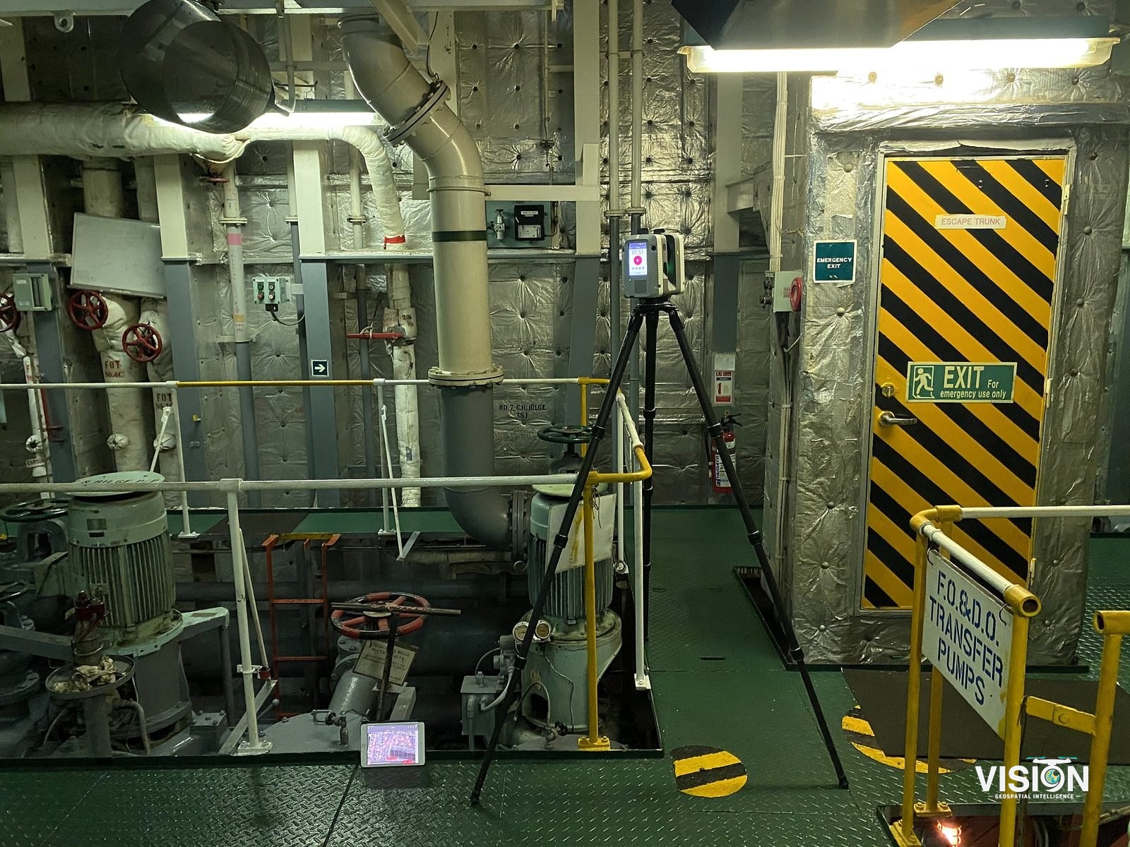
Aerial mapping and LiDAR
We fly licensed drone and LiDAR surveys and produce orthophotos, terrain models and contours, with volume calculations and progress records.
Drone photogrammetryAerial LiDARStockpile volumesProgress documentation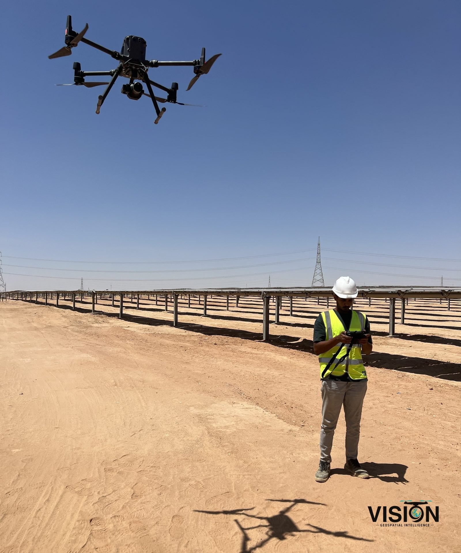
Geospatial analysis and GIS
We analyze terrain, drainage, land and assets, and build the geodatabases and maps that planning decisions rely on.
Spatial analysisHydrological analysisGeodatabasesMap production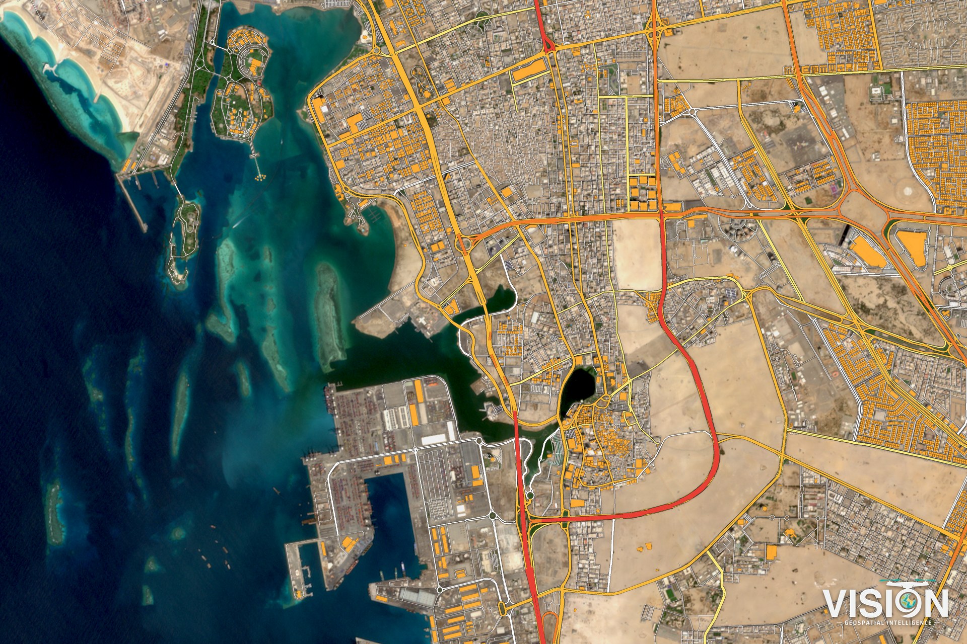
Land surveying and control
We take the ground measurements that design and construction start from, and set the control network that ties all other data together.
Topographic surveyControl networksCadastral surveyingGPR utility detection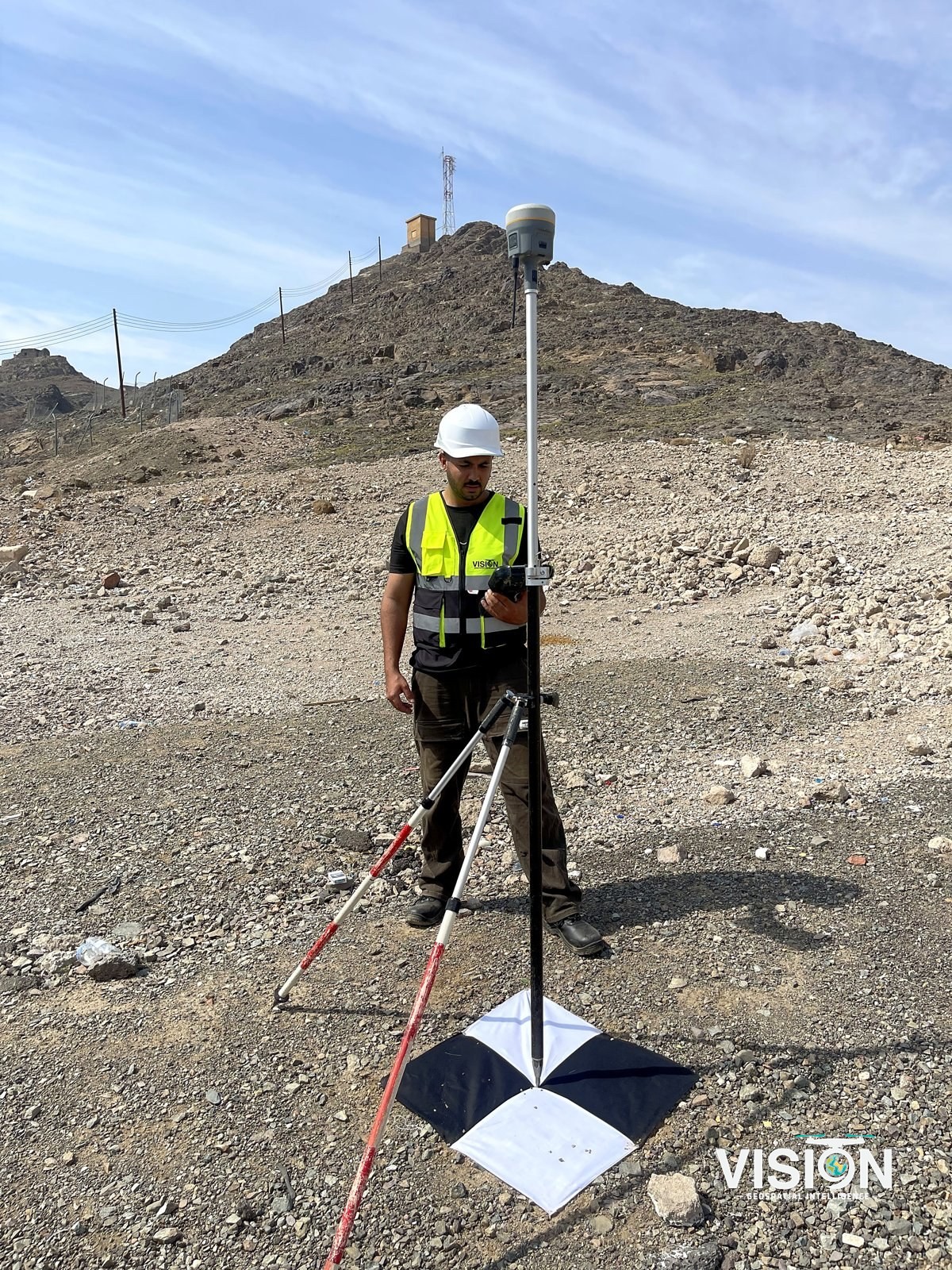
Project photo and video documentation
We photograph and film project sites from the air and the ground, and keep a documented record of every stage of the works.
Aerial photographyGround photographyVideo documentationProgress records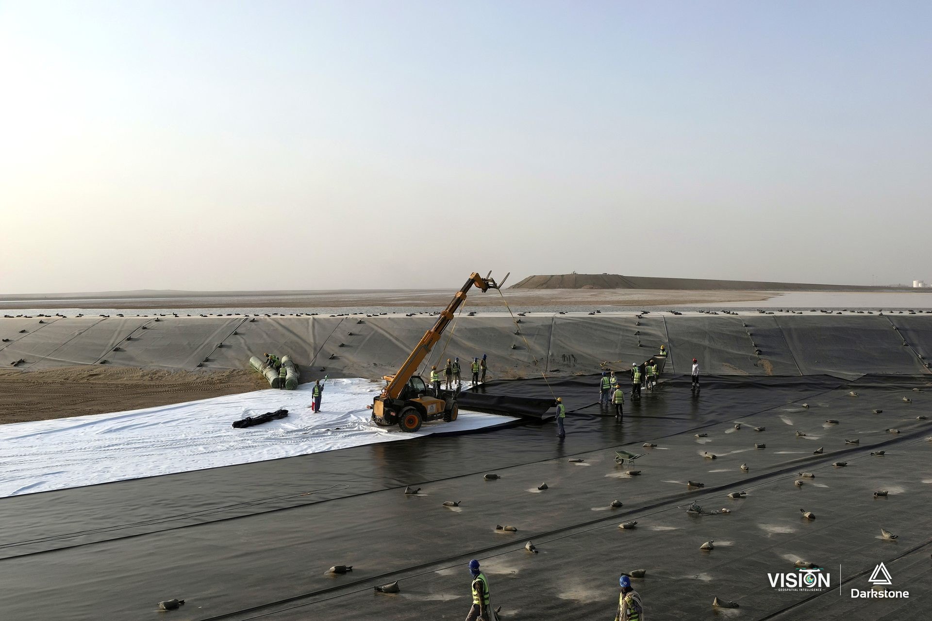
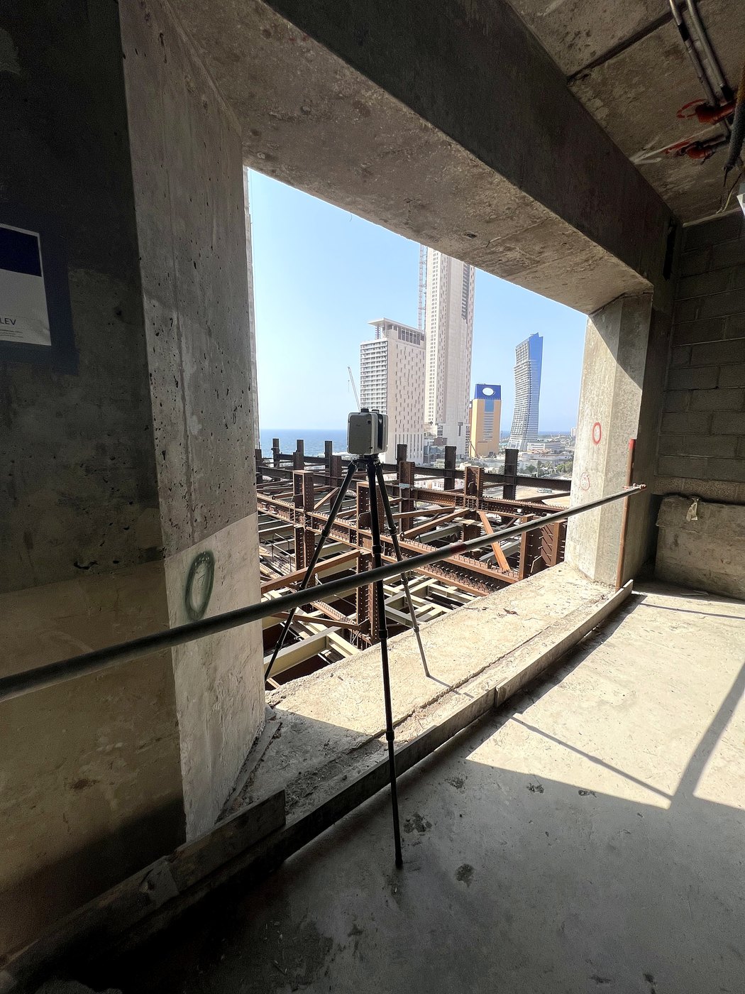
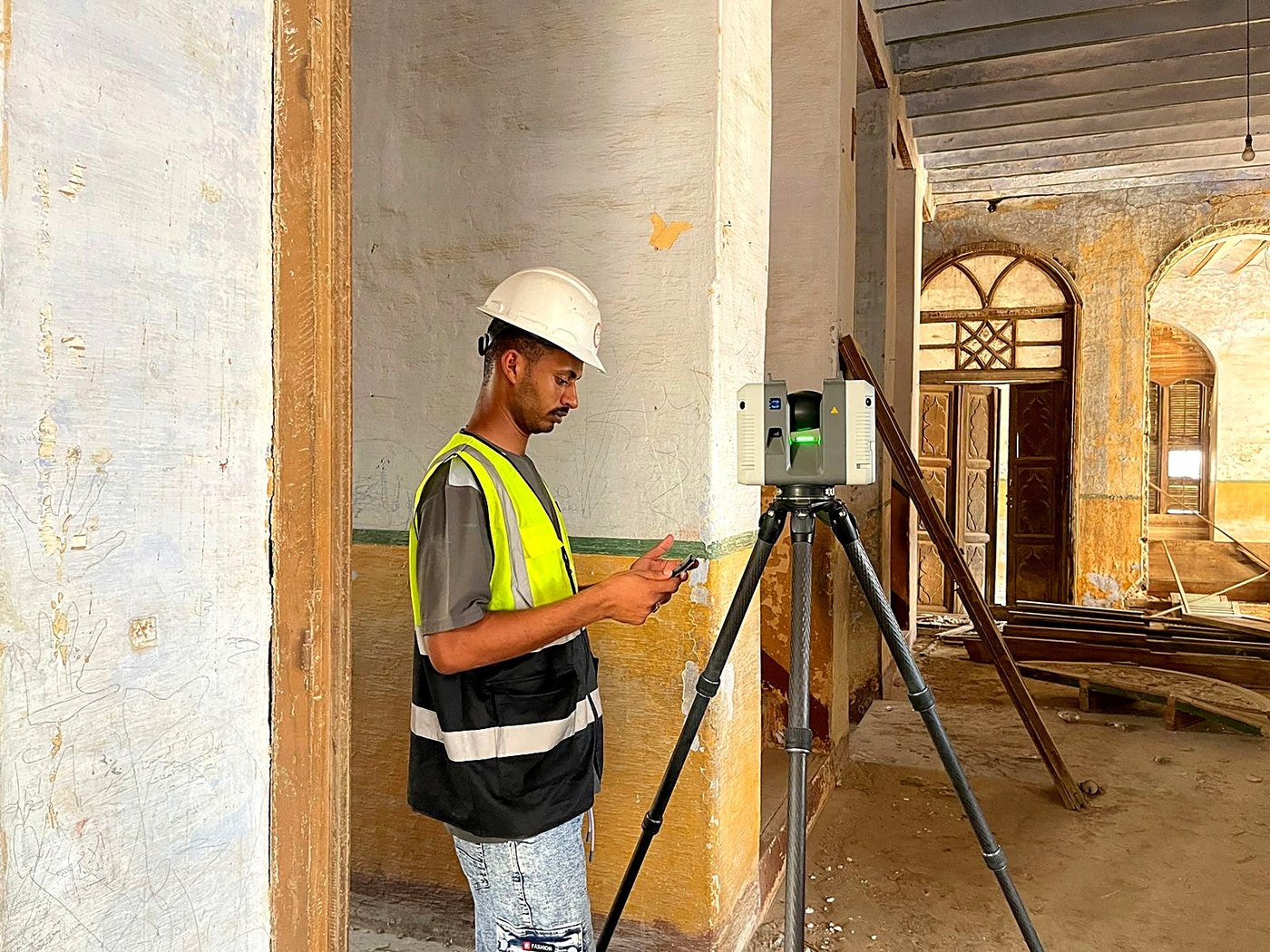
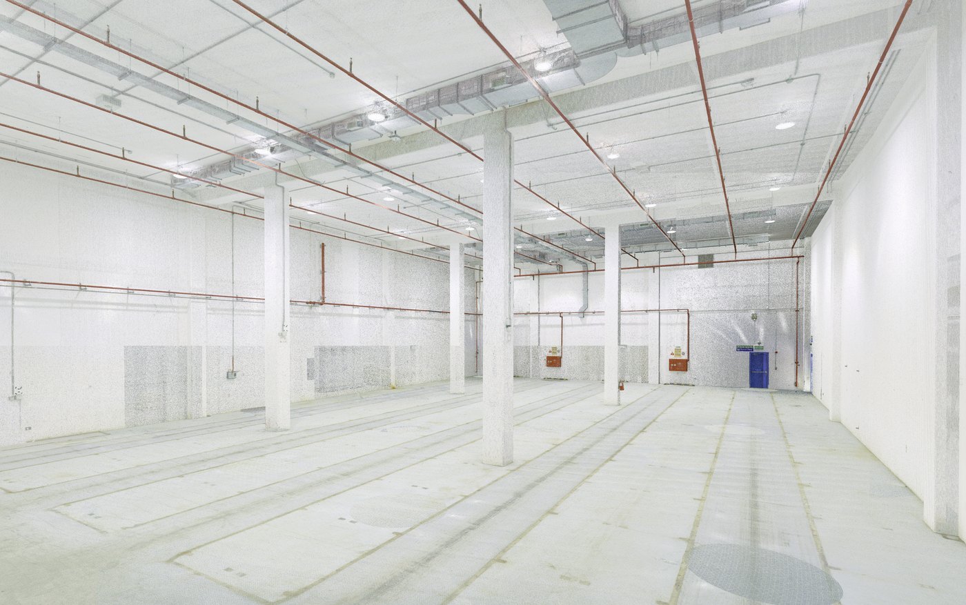
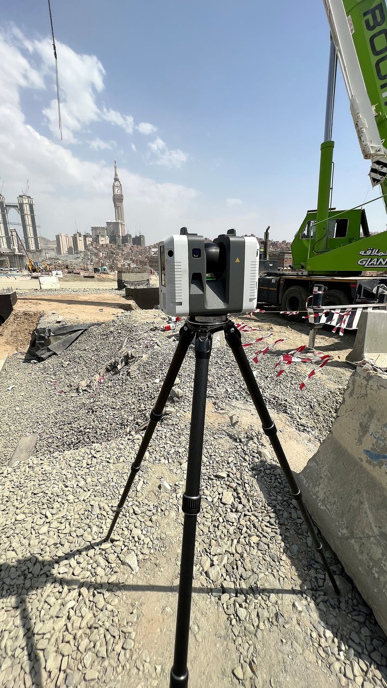
3D laser scanning and as-built modeling
Terrestrial laser scanning
High-density 3D capture of buildings, structures and industrial plants with the Leica RTC360 and Leica ScanStation.
E57RCPLASPoint cloud processing
Registration, cleaning and classification of scan data into one point cloud in the project coordinate system.
E57RCPLASLAZScan-to-BIM and Scan-to-CAD
BIM models and CAD drawings prepared from the point cloud, with the elements and level of development set in the scope of work.
RVTIFCDWGAs-built documentation
As-built models, plans, sections and elevations of buildings and assets.
DWGPDFRVTHeritage documentation and HBIM
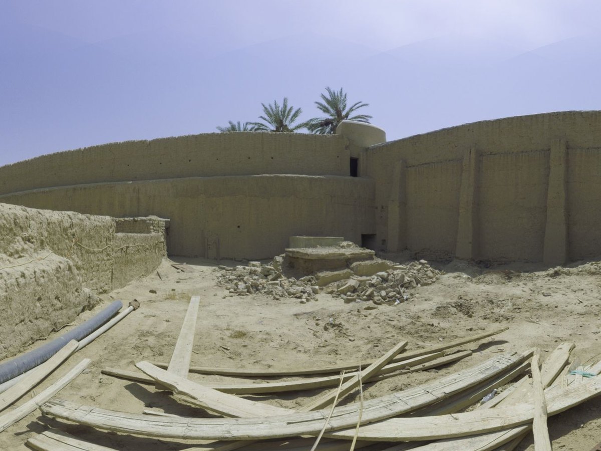
Detailed survey of historic structures, with Heritage BIM (HBIM) where the project requires it.
Point cloudHBIM360° images360° site documentation
Panoramic capture at scan positions for remote inspection and project records.
PanoramasWeb viewer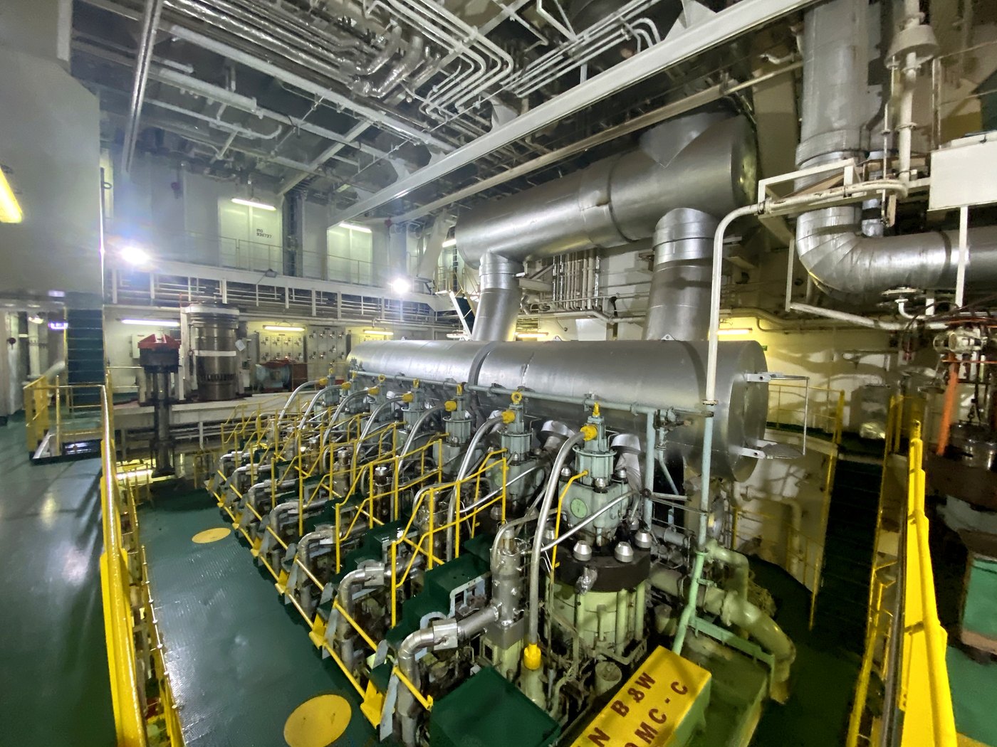
Industrial and marine digitization
Plant and mechanical facility as-built
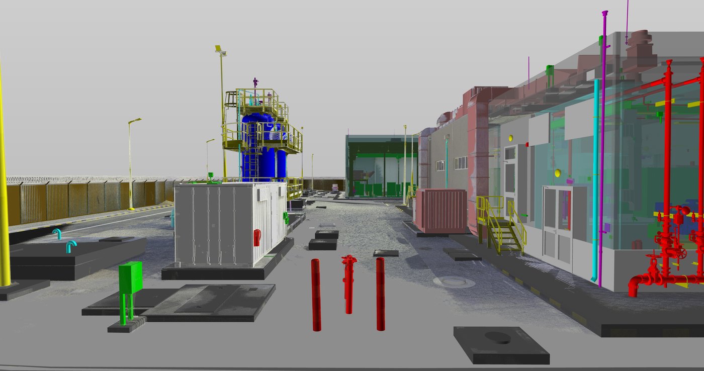
3D laser scanning of operating plants and mechanical facilities, delivered as point clouds, 3D models and CAD drawings for retrofit and maintenance.
Point cloud3D modelDWGMarine and vessel scanning
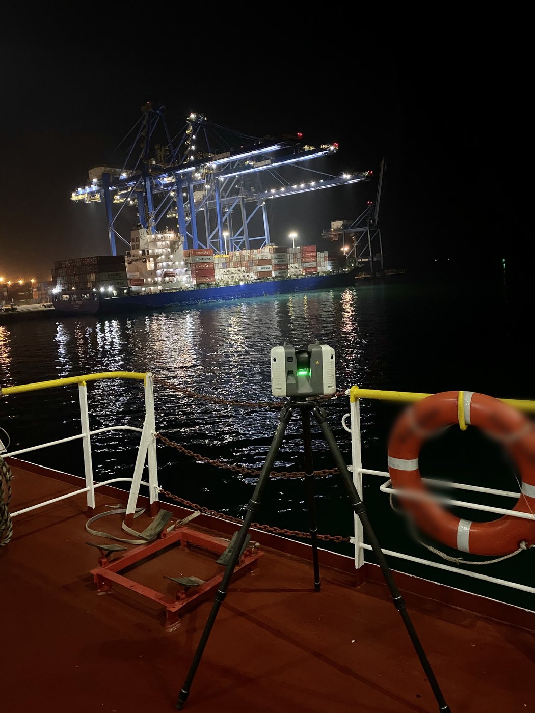
Laser scanning of vessels (exterior, decks and engine room) and of port and marine structures.
Point cloud360° images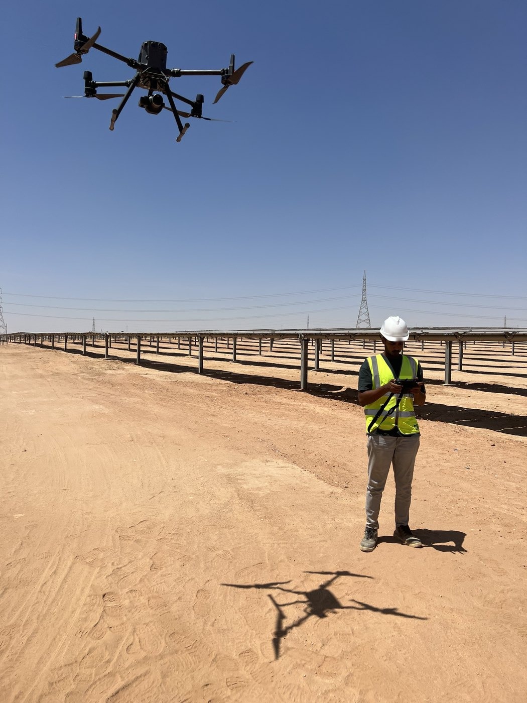
Aerial mapping and LiDAR
Drone survey and photogrammetry
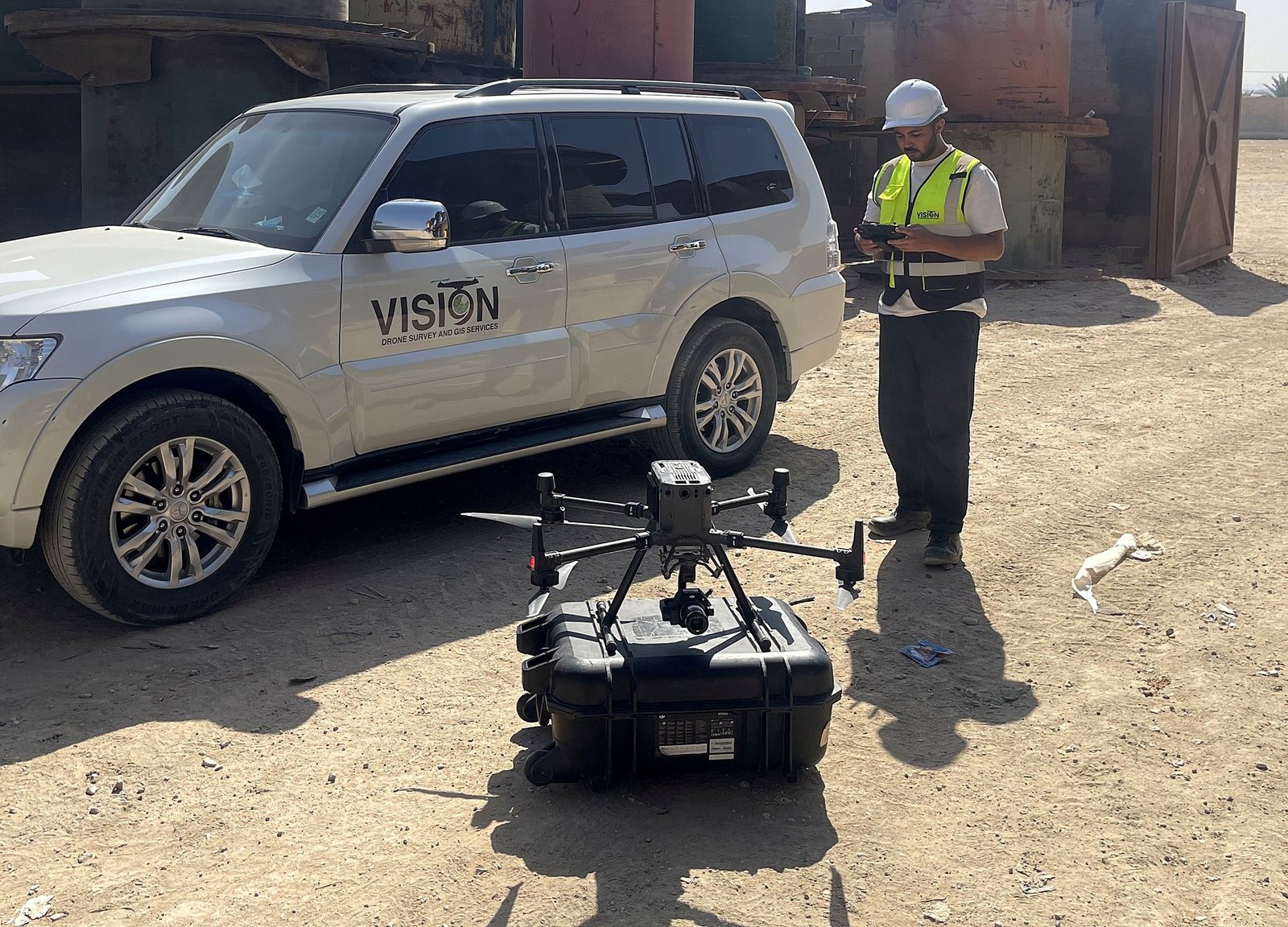
Licensed drone flights producing orthophotos, surface models and textured 3D meshes of project sites.
GeoTIFFDSM3D meshAerial LiDAR
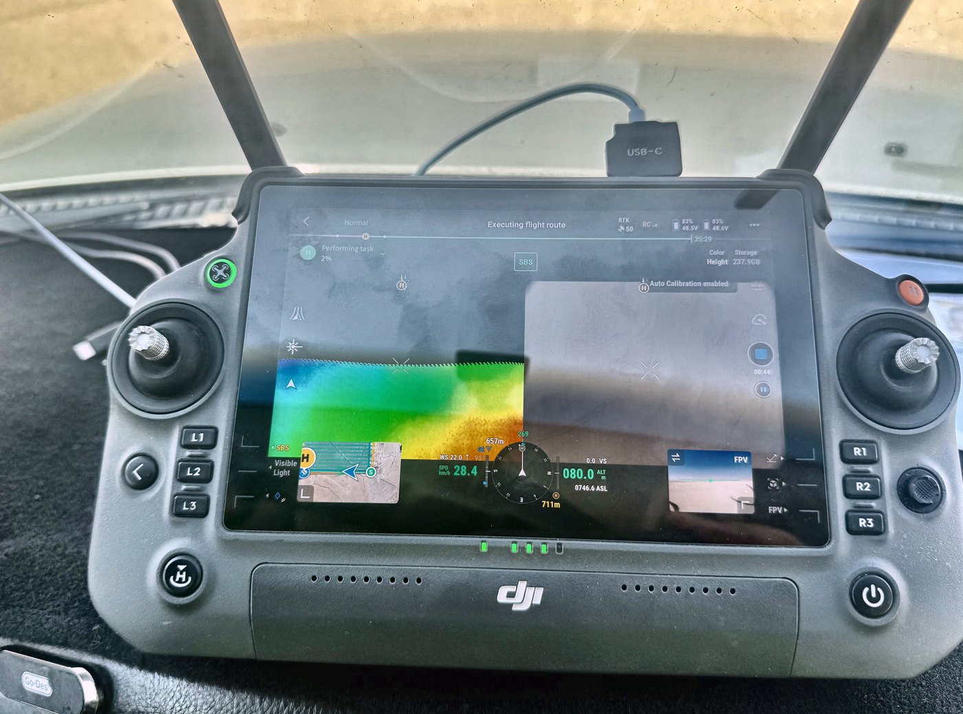
Airborne laser scanning for corridors, large areas and terrain under vegetation, where photogrammetry alone is not enough.
LASLAZDTMDTM, DSM and contours
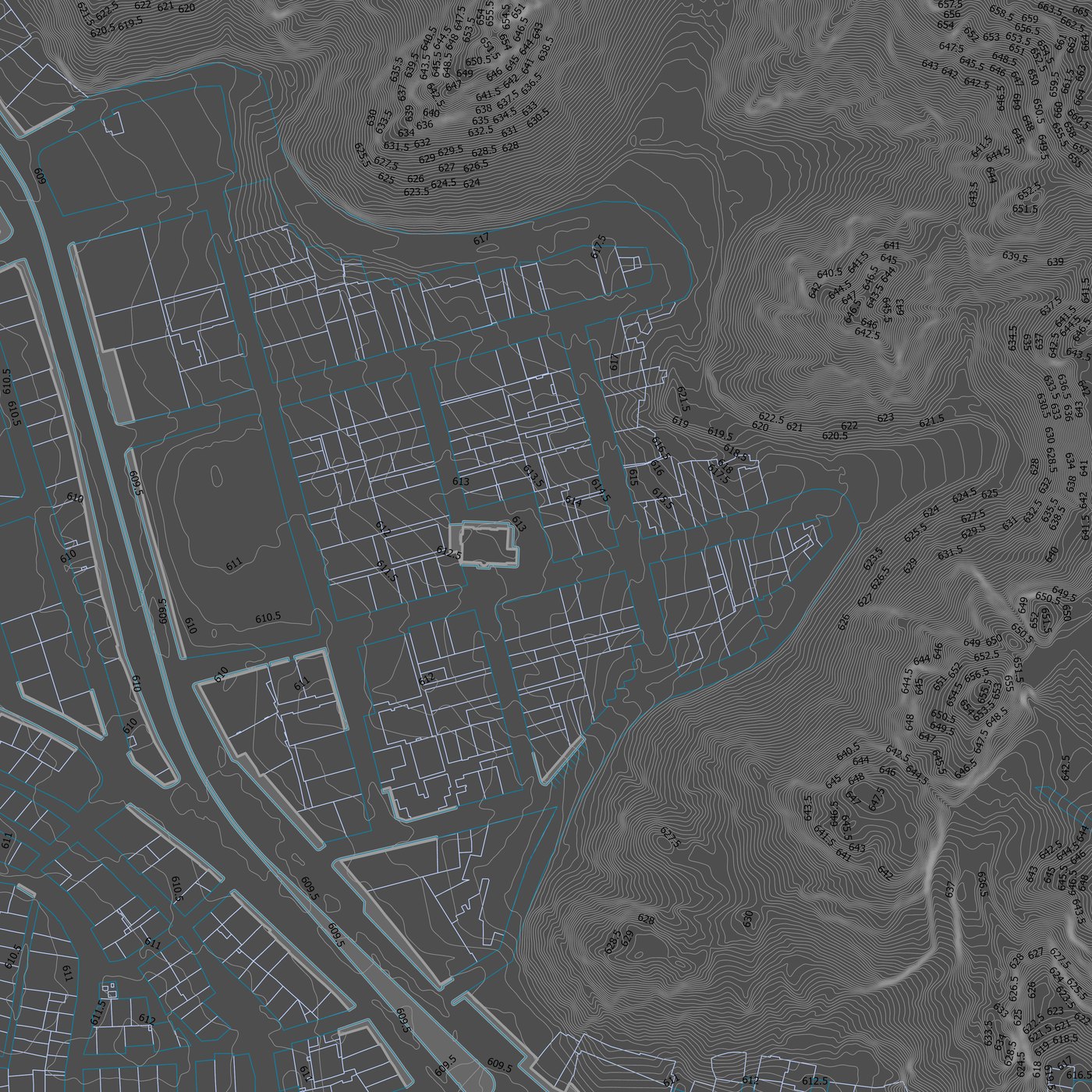
Digital terrain models (DTM), digital surface models (DSM) and contours for design and analysis.
GeoTIFFLandXMLDWGVolumetric analysis
Stockpile and cut-and-fill volumes from the surface models, with the method documented.
Volume reportSurfaces3D modeling
Textured 3D meshes of sites and 3D models of assets and facilities.
OBJFBX3D mesh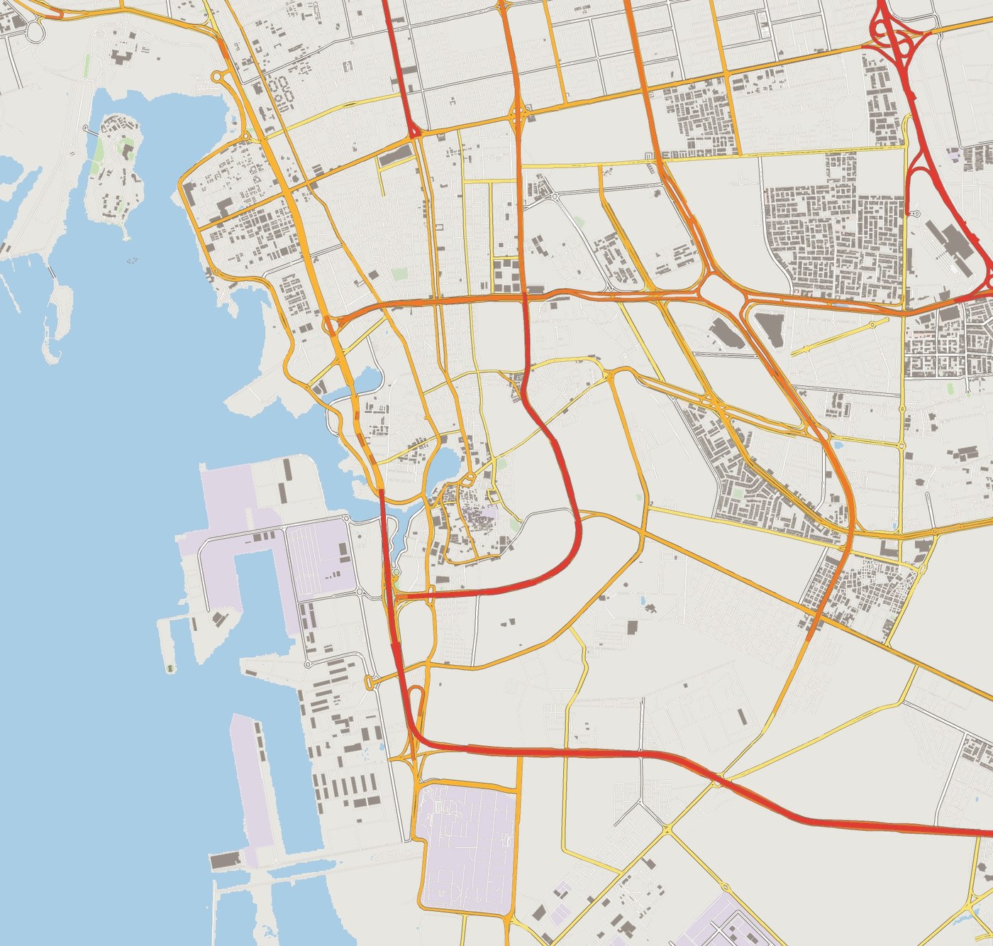
Geospatial analysis and GIS
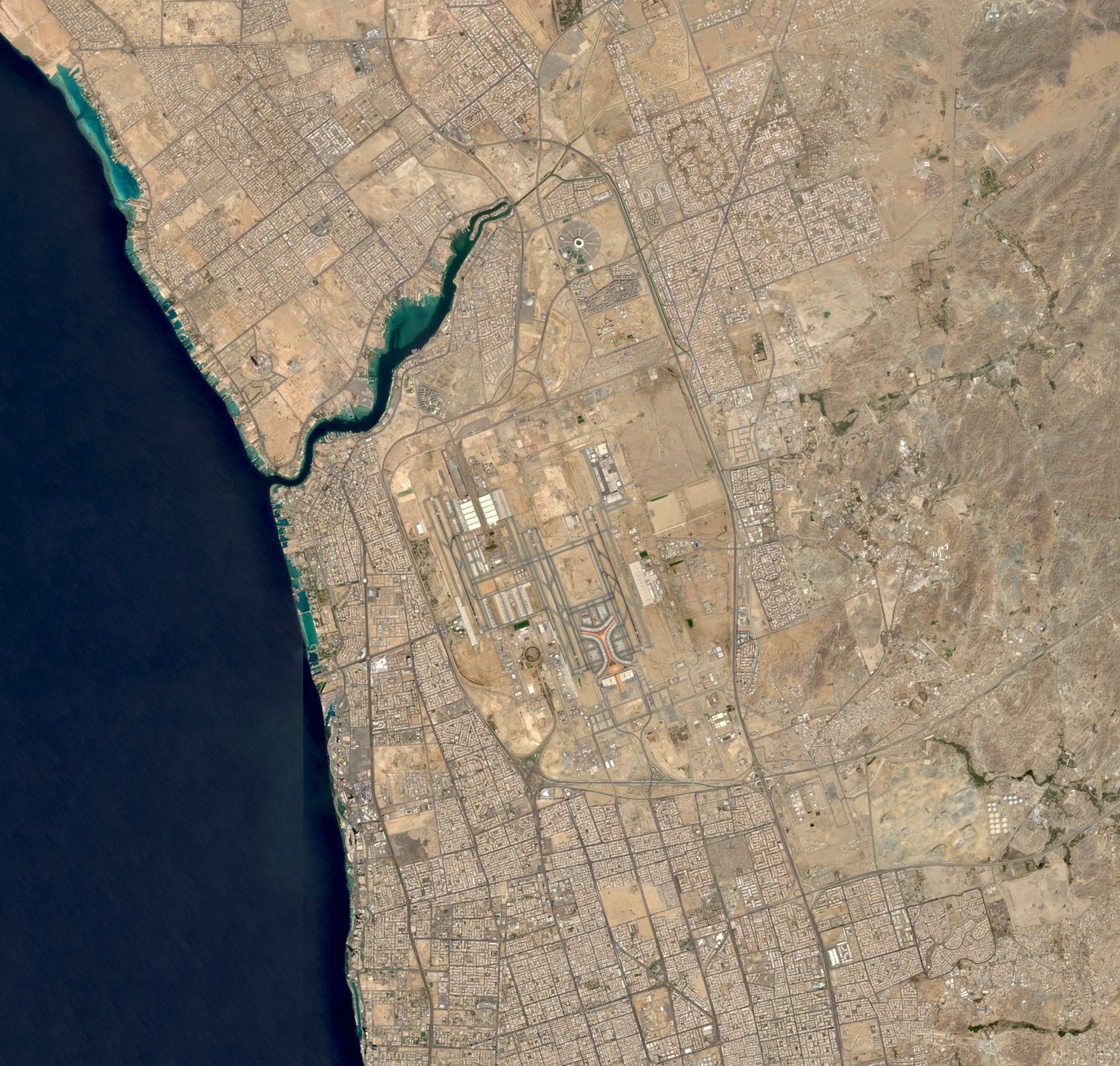
Spatial analysis and mapping
Overlay, proximity, network and terrain analysis, with cartography and map production to your standards.
Analysis mapsPDFHydrological analysis
Watershed delineation, drainage network and flow-path analysis from terrain models.
Catchment mapsFlow pathsGeodatabases and data conversion
Geodatabase design and build, and conversion of legacy drawings, scanned maps and spreadsheets into clean GIS layers.
GDBGPKGSHPAsset inventories and web maps
Field inventories linked to position, and browser-based maps for teams without desktop GIS.
GeodatabaseWeb map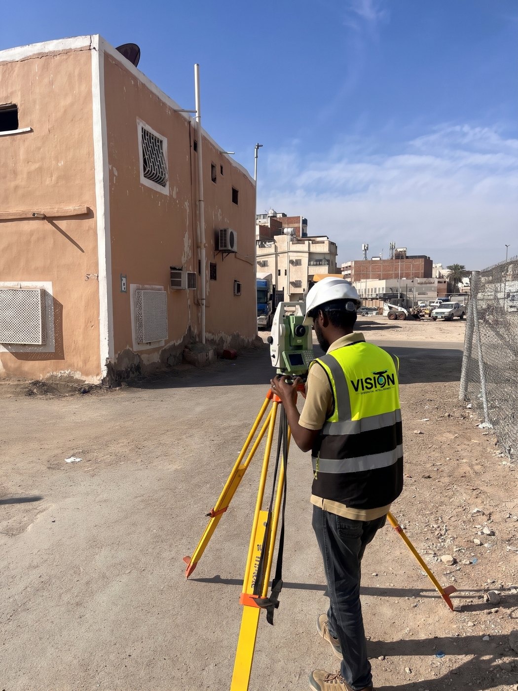
Land surveying and control
Topographic and engineering survey
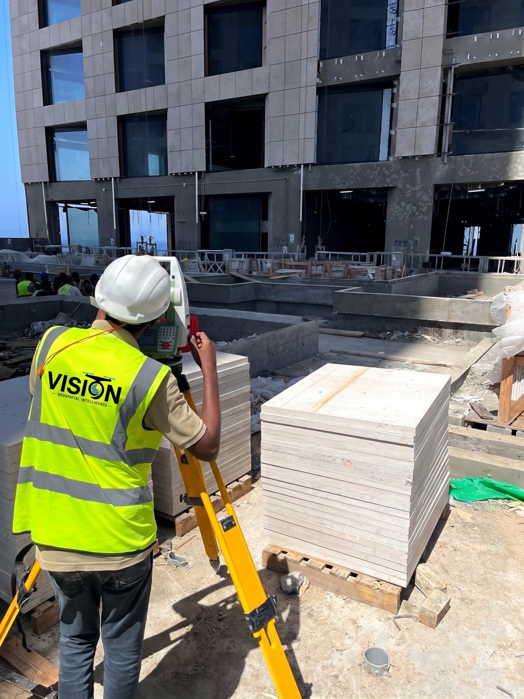
Site, route and infrastructure surveys with GNSS receivers and total stations, covering levels, features, utilities and boundaries.
DWGDXFSurface modelsGround control networks
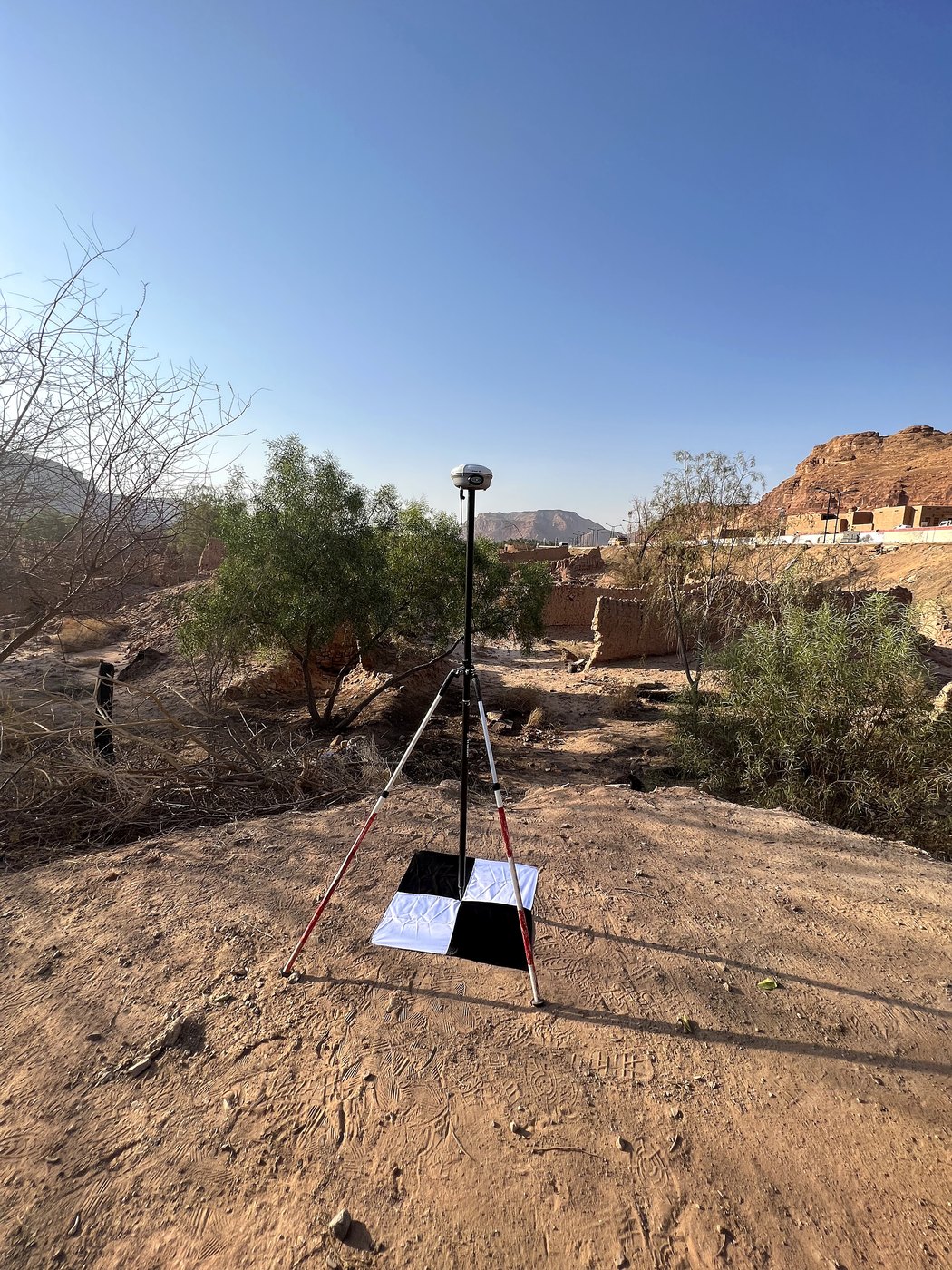
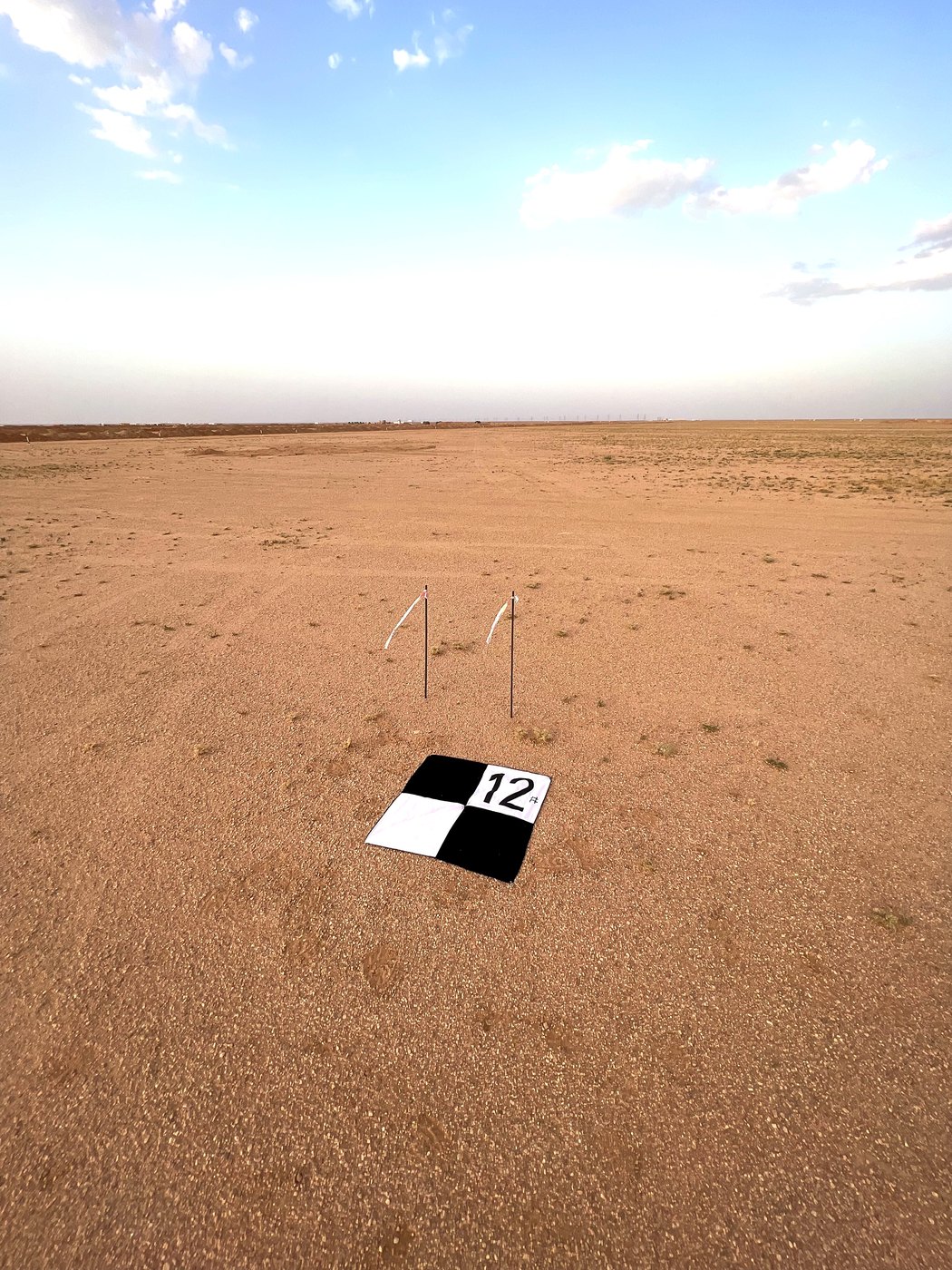
GNSS control (Trimble R12) and ground control points that tie every dataset to the project coordinate system.
Control reportCoordinatesSetting-out
Design elements transferred from the drawings to the ground for construction.
Setting-out recordsMobile Mapping
Vehicle-mounted scanning of roads, producing point clouds and imagery.
Point cloudImageryGPR and utility detection
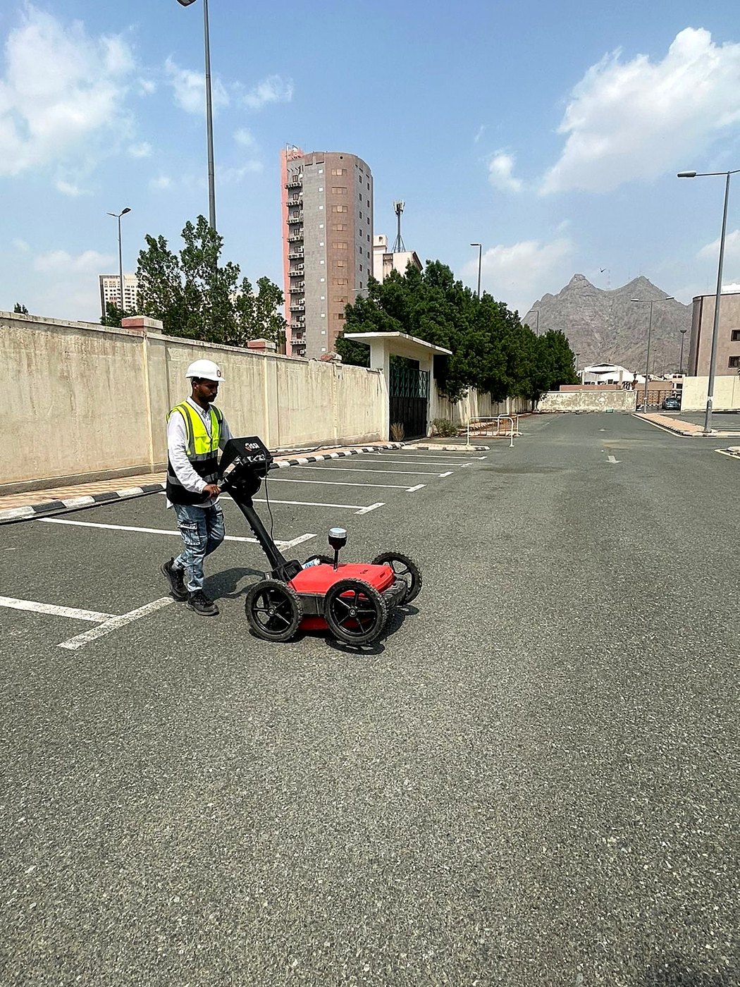
Ground-penetrating radar to locate buried utilities and subsurface features before excavation.
Utility plansReportsMagnetic surveys
Ground magnetic measurements along planned lines, presented as magnetic field maps.
Magnetic field mapsProfilesGeological and ground studies
Mapping of rock and soil units, structures and surface hazards from field observation, imagery and terrain data.
Geological mapReportMining analytics
Pit and stockpile surveys, volume reconciliation, and bench and haul-road mapping.
VolumesPit mapsQuality assurance and quality control (QA/QC)
Checks against the source data, recorded in the survey report included with every delivery.
Survey report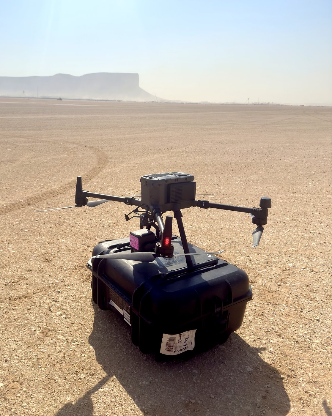
Project photo and video documentation
Aerial photography and video
Scheduled drone flights over the site, with photographs and video that show the works from above.
JPGMP4Progress documentation on site
Ground photographs and video of the works, organized by date for the project team.
JPGMP4Sectors we serve
Consultants
Reliable survey data, with maps, models and GIS layers ready for your design work.
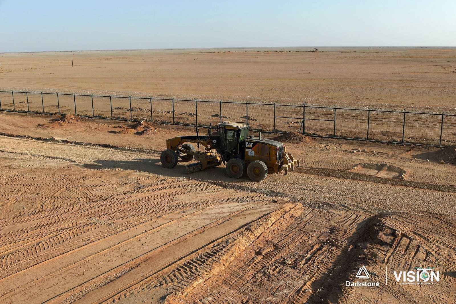
Contractors and infrastructure
Setting-out, corridor mapping, progress reports and photographic records, as-built checks and earthworks support.
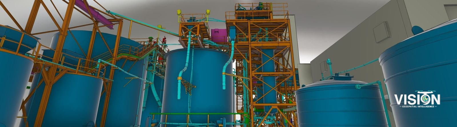
Industry and energy
Plant as-builts, retrofit scanning, 3D models of operating facilities and records for operation and maintenance.
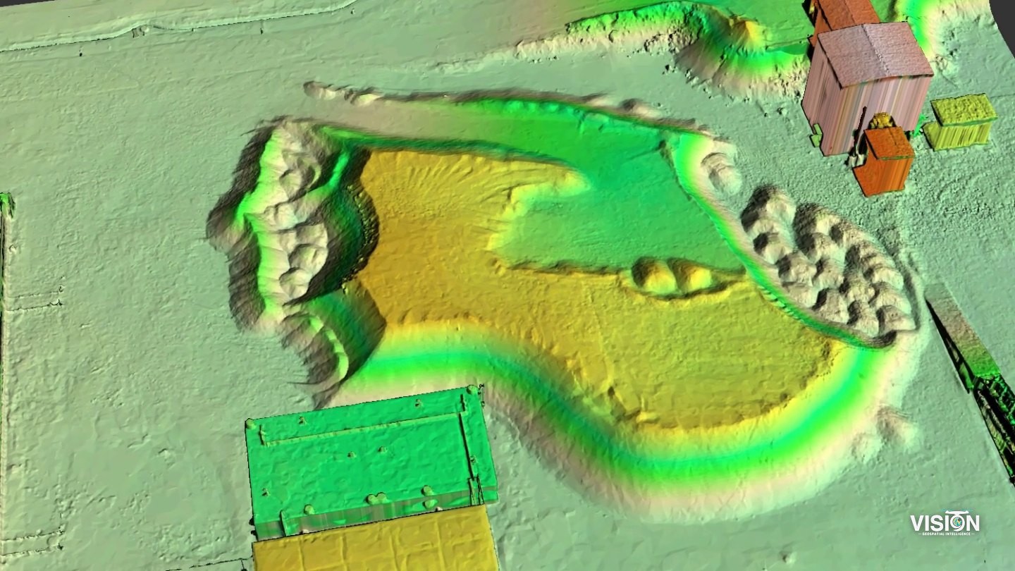
Mining and geology
Pit and stockpile surveys, volume reconciliation, geological studies and ground magnetic surveys.
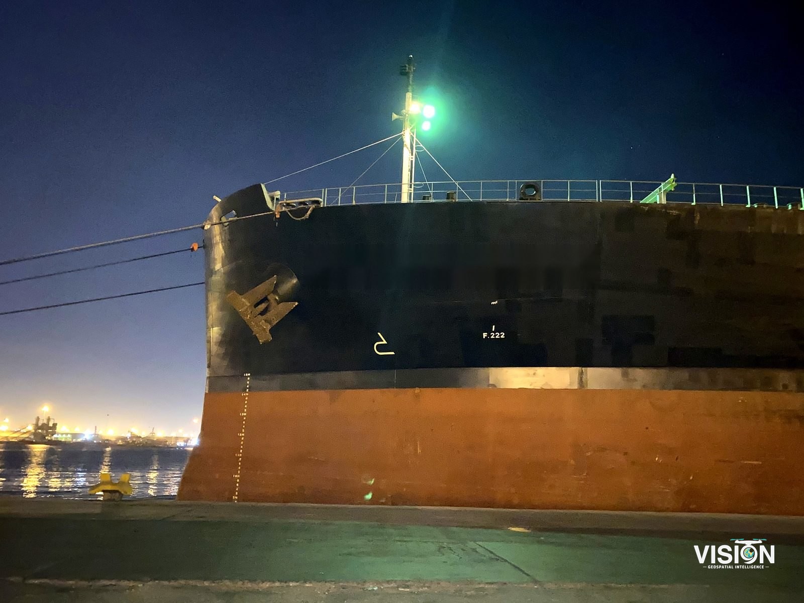
Marine and ports
Vessel documentation, port infrastructure surveys and scanning in confined spaces.
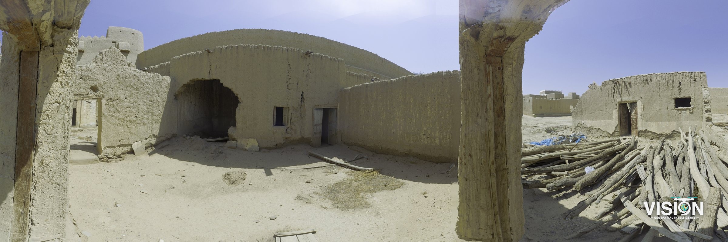
Heritage and culture
Detailed recording and Heritage BIM (HBIM) of historic structures and sites.
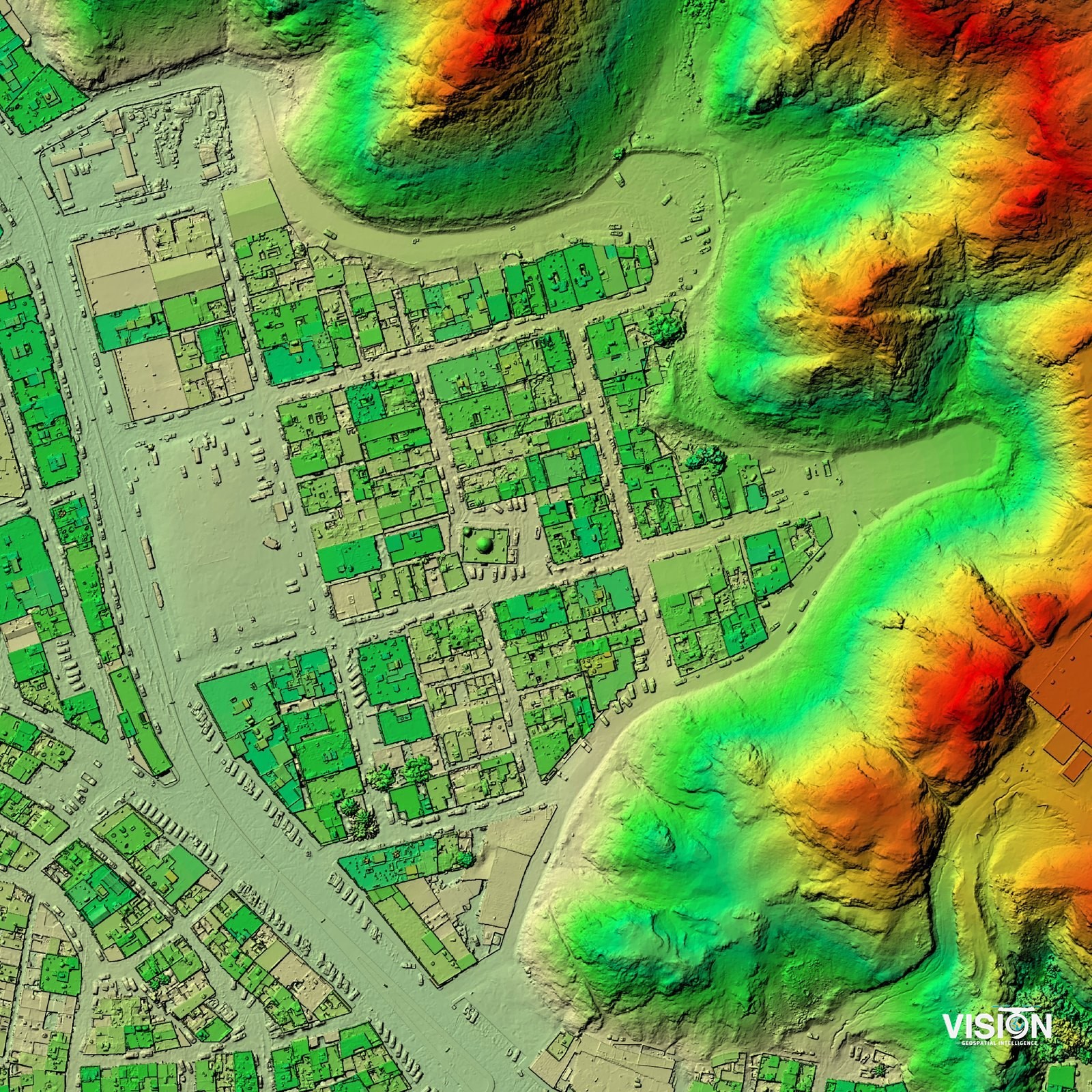
Land and real estate
Cadastral surveys, parcel mapping, orthophoto base maps and site studies for development.
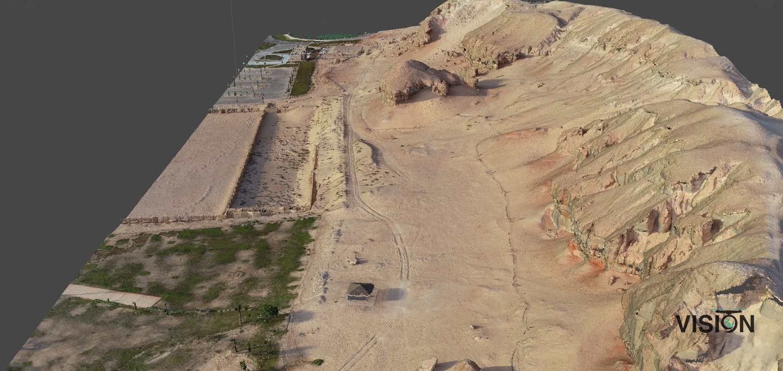
Water and environment
Hydrological analysis, catchment and drainage mapping, and terrain studies from survey-grade elevation models.
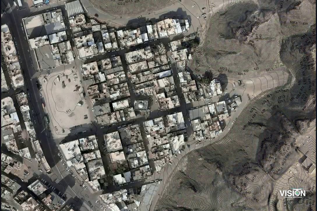
Urban and development planning
Current base maps and orthophotos, geodatabases, spatial analysis of land use, and thematic maps that support urban plans and development projects.