

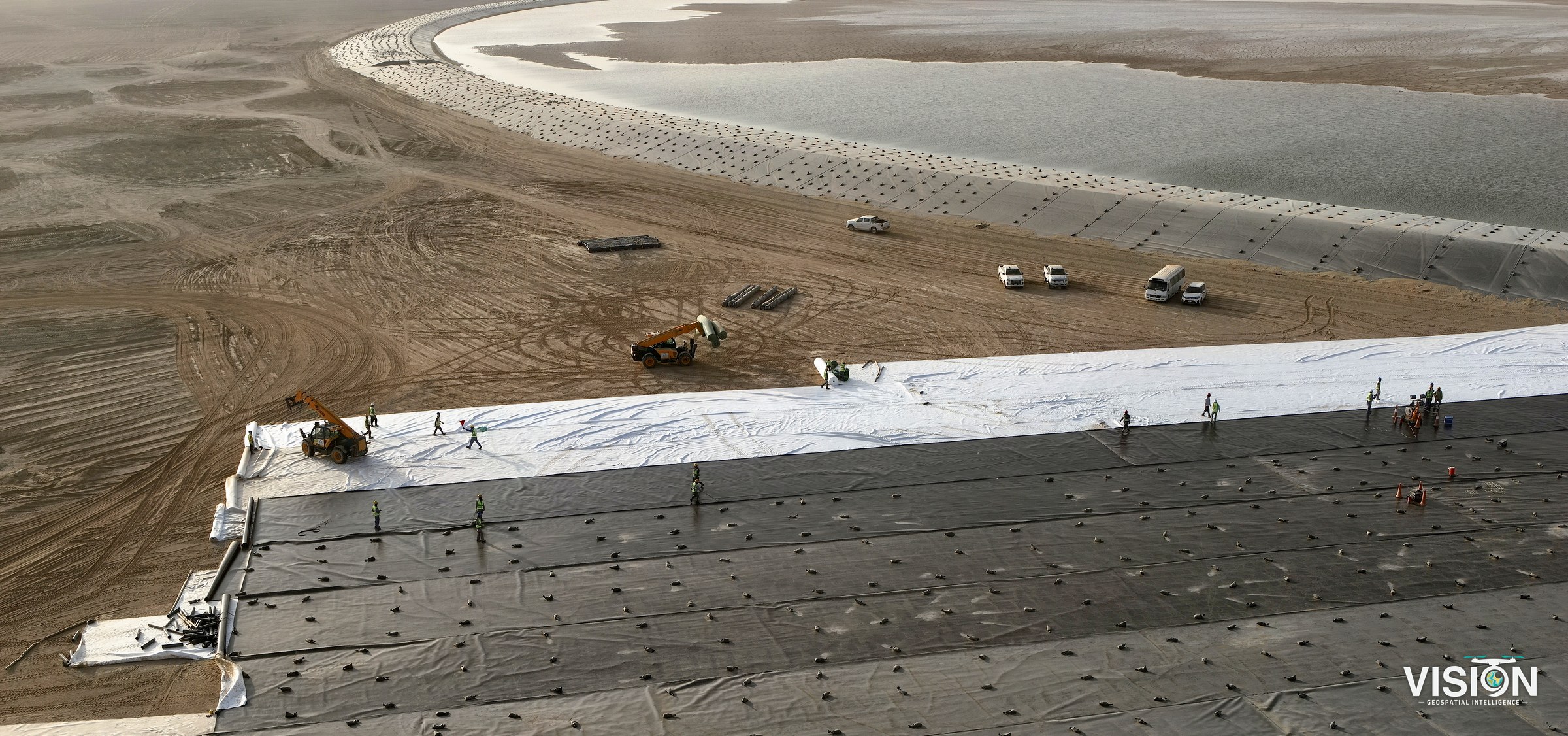
Project photo and video documentation
Aerial and ground photography, video and photographic records that document every stage of the engineering works on site.
- Deliverables
- Photographs, edited video, a documented record of every stage, time-lapse, 360° tours
- Equipment and software
- Drones under GACA licensing, photo processing and video editing software, 360° viewer
How we work
Shot planning
We agree with the project team on the viewpoints, angles and the schedule of visits or flights.
On-site capture
Drone flights and ground visits on schedule, following the site safety requirements.
Processing and editing
We process the photographs and edit the video, adding the project identity on request.
Organized delivery
We deliver the photographs and video organized by date and location.
Applications
Construction and infrastructure
A documented record of every stage of the works for the project team and owner.
Engineering and official documentation
Photographs and video arranged by date for reports and handover.
Virtual tours
360° panoramas of sites and buildings that open in the browser.
Facilities and heritage sites
A visual record of a site as it is today.
What we offer
Aerial and ground photography
High-resolution photographs of sites and facilities from the air by drone and from the ground, for reports, presentations and records.
PhotographsAerialGroundVideo documentation
Aerial and ground video of the works and the key stages of the project, edited into clear clips.
MP4Edited clipsEngineering and official records
Photographic records of site conditions and every stage of the works, organized by date and location, to support official reports and construction follow-up.
Record of every stageBy locationTime-lapse
Sequences shot from fixed points over days or months, showing the progress of the project in a short film.
Time-lapse film360° virtual tours
360° panoramas of sites and facilities that people can walk through remotely, from one position to the next.
360° panoramasWeb viewerEquipment and software
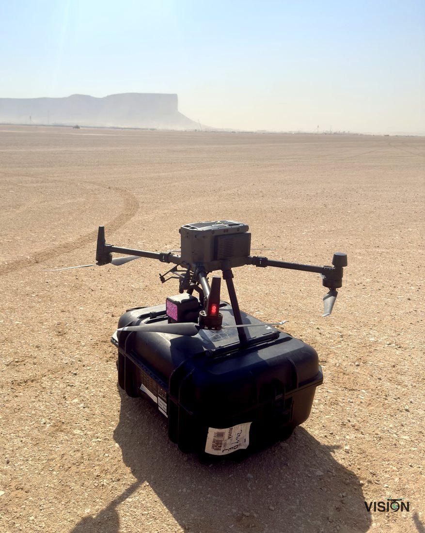
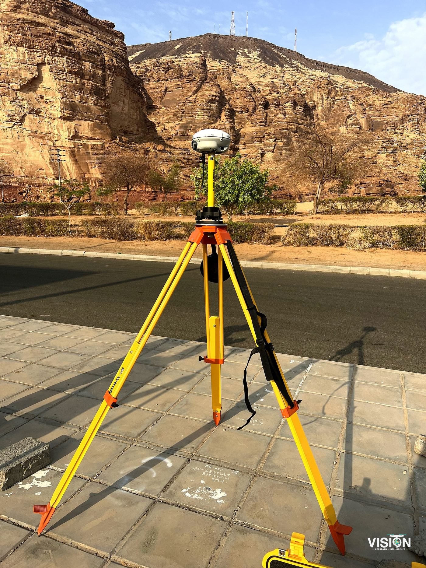
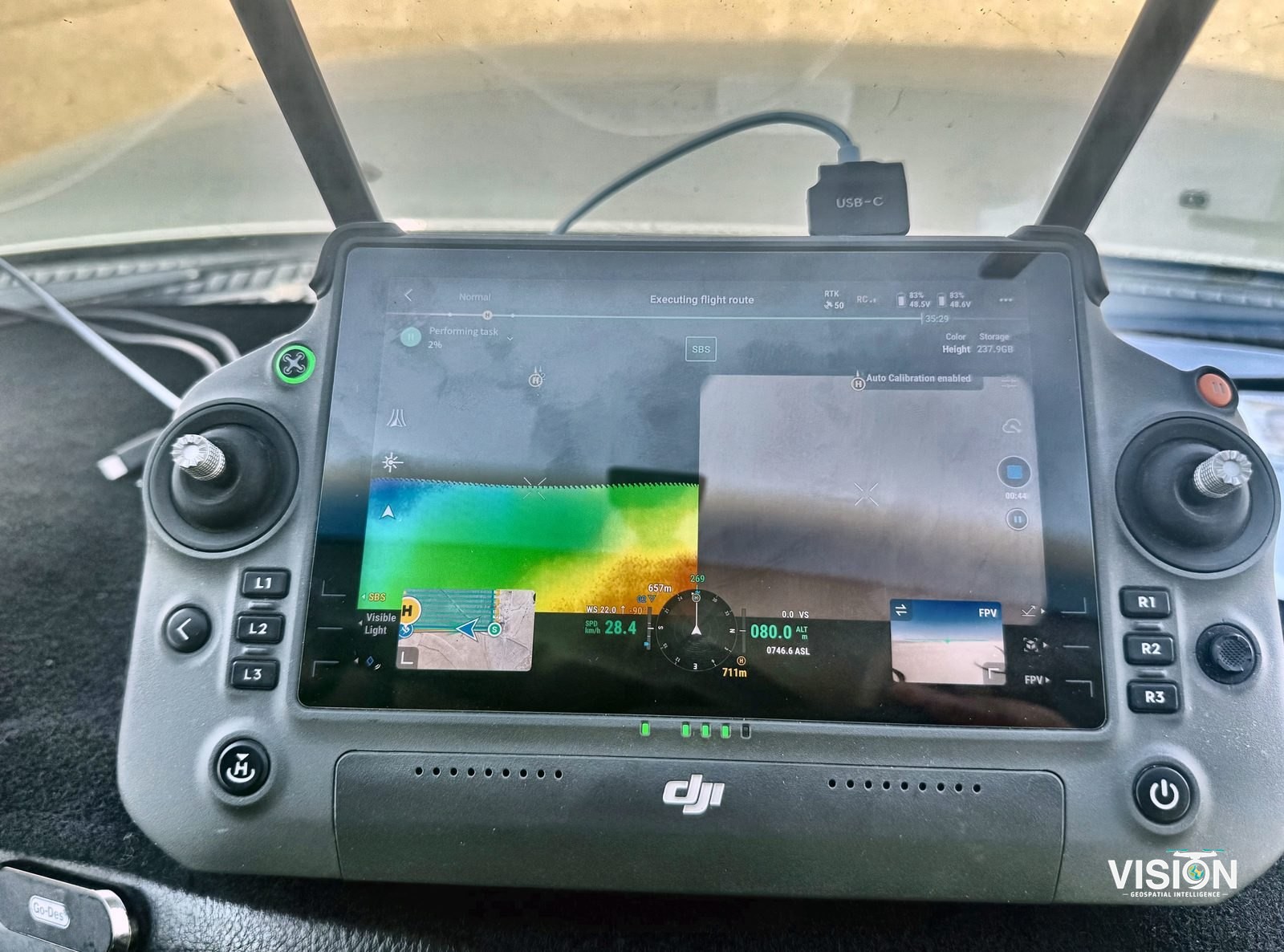
Software and processing
Photo processing
Color, exposure and framing corrected for a consistent record.
Video editing
Footage edited into clear clips and time-lapse films.
360° viewer
Panoramas published in a viewer that works in the browser.
Main software we use
 Adobe Premiere ProPRPROJ, MP4
 Adobe After EffectsAEP, MOV
 Adobe PhotoshopPSD, JPG
 Adobe LightroomDNG, JPG
In cooperation with Darkstone Arabia
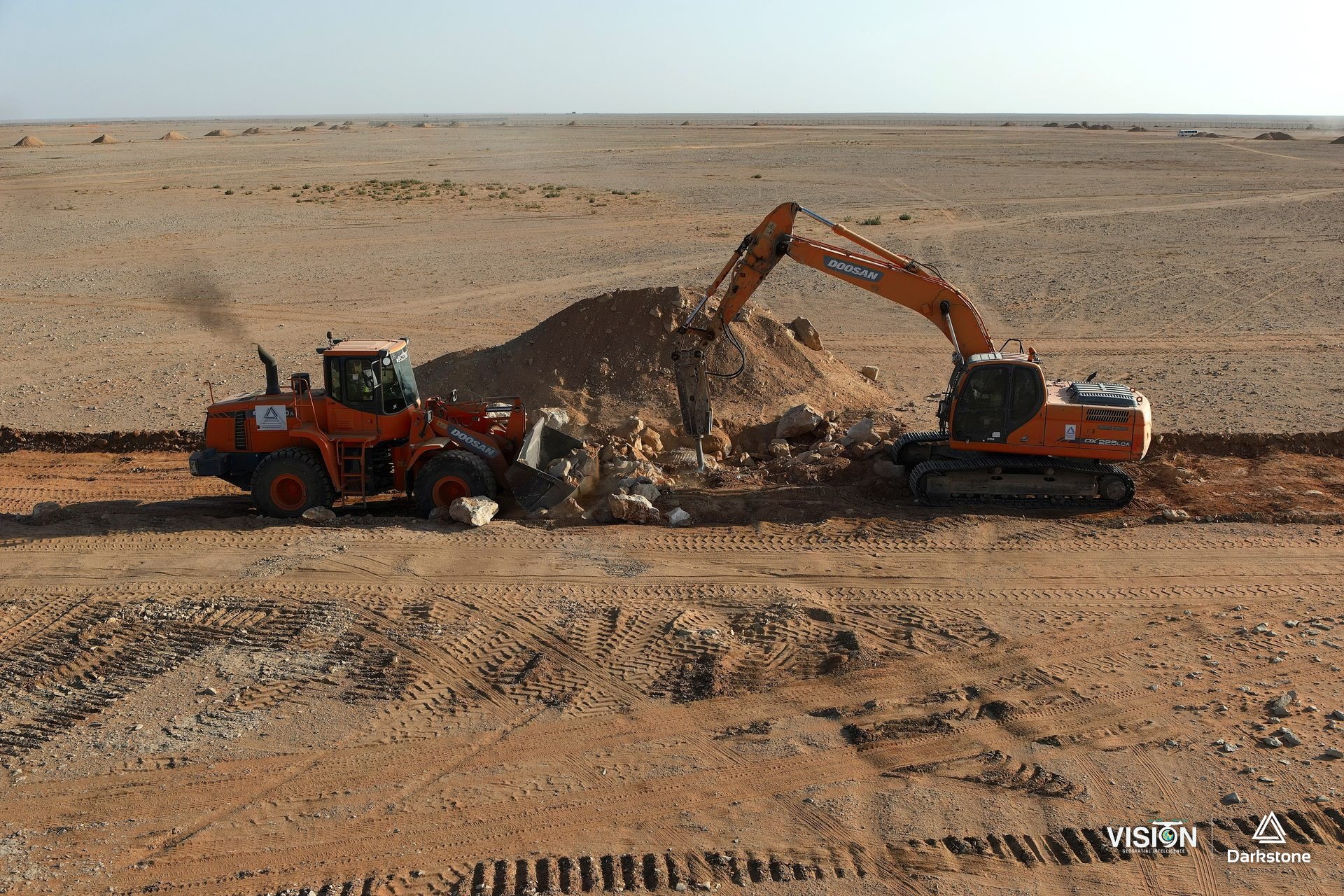
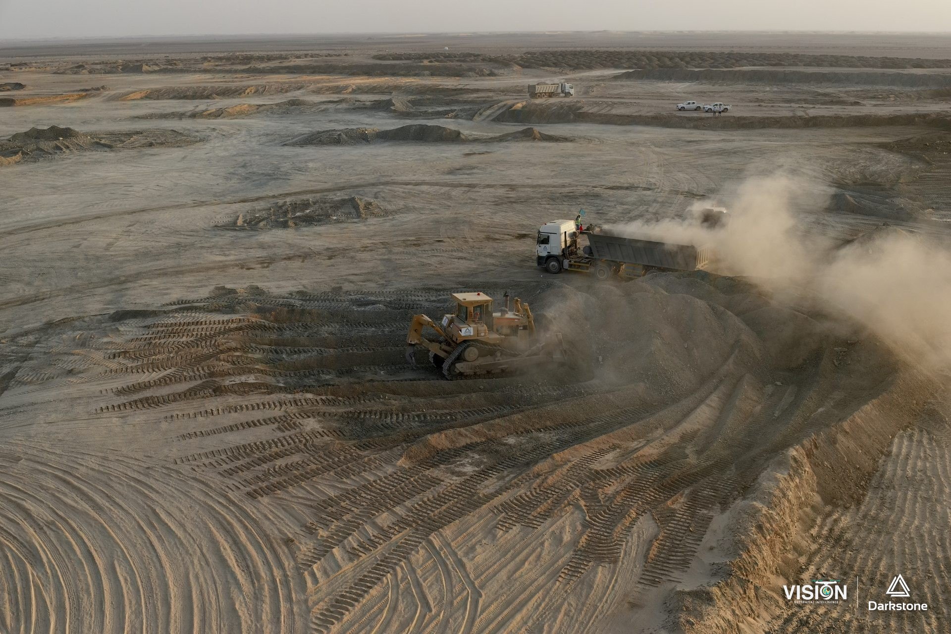
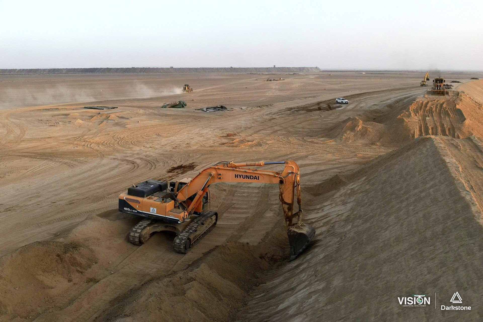
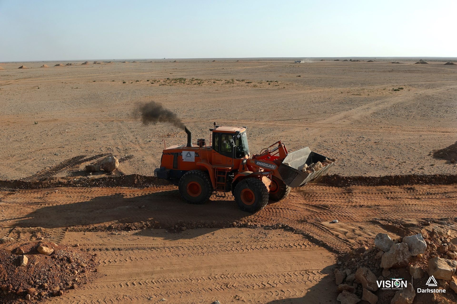
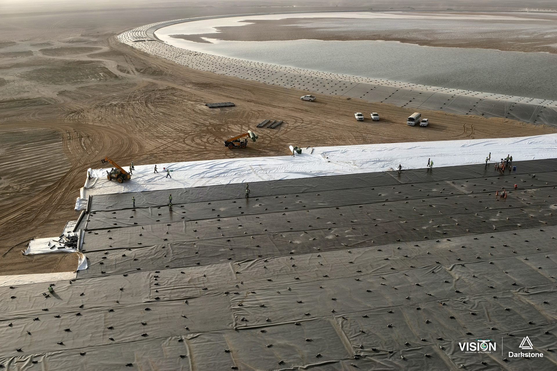
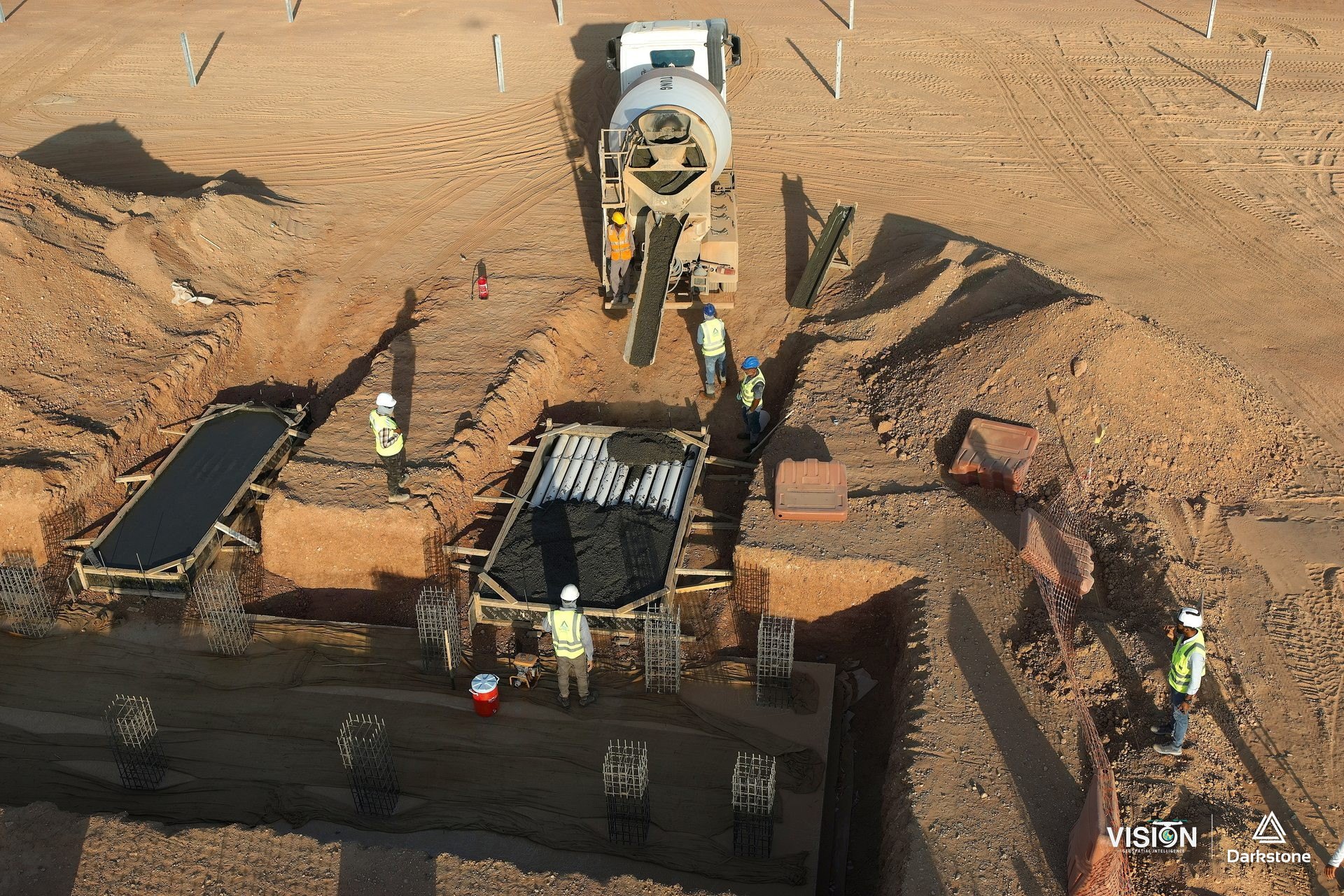
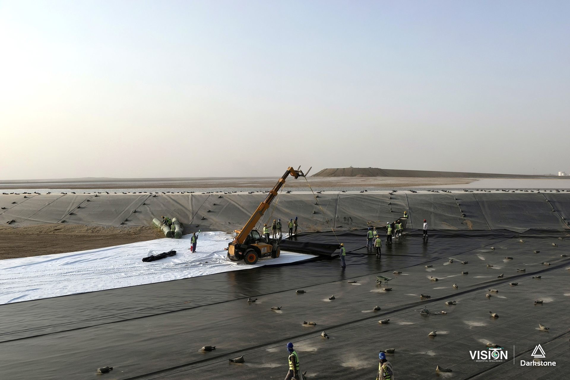
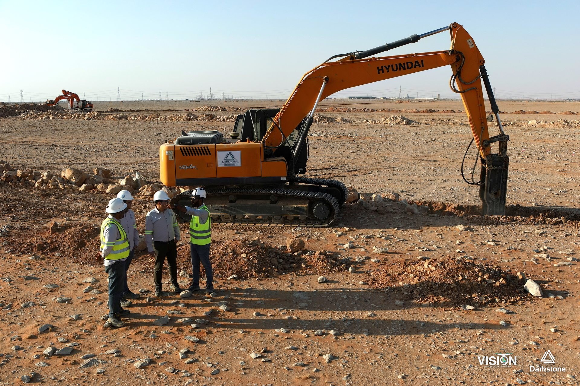
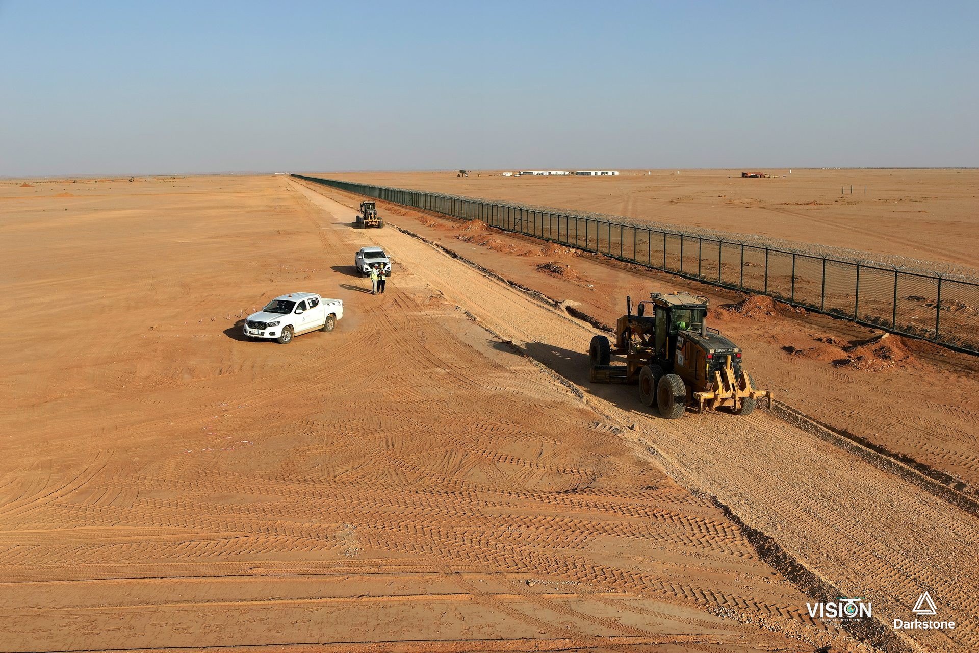
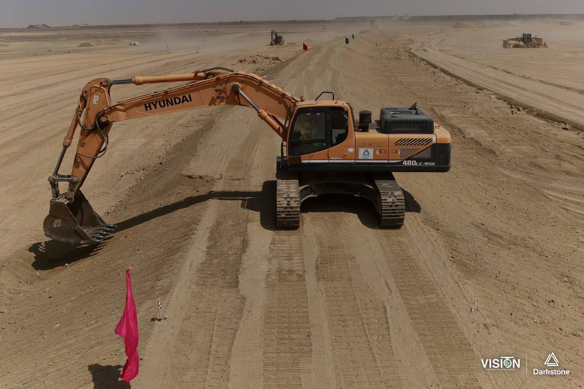
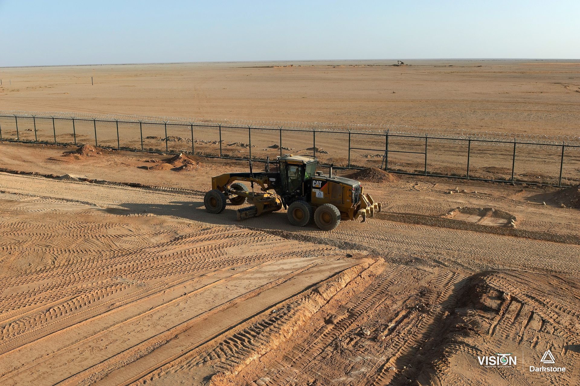
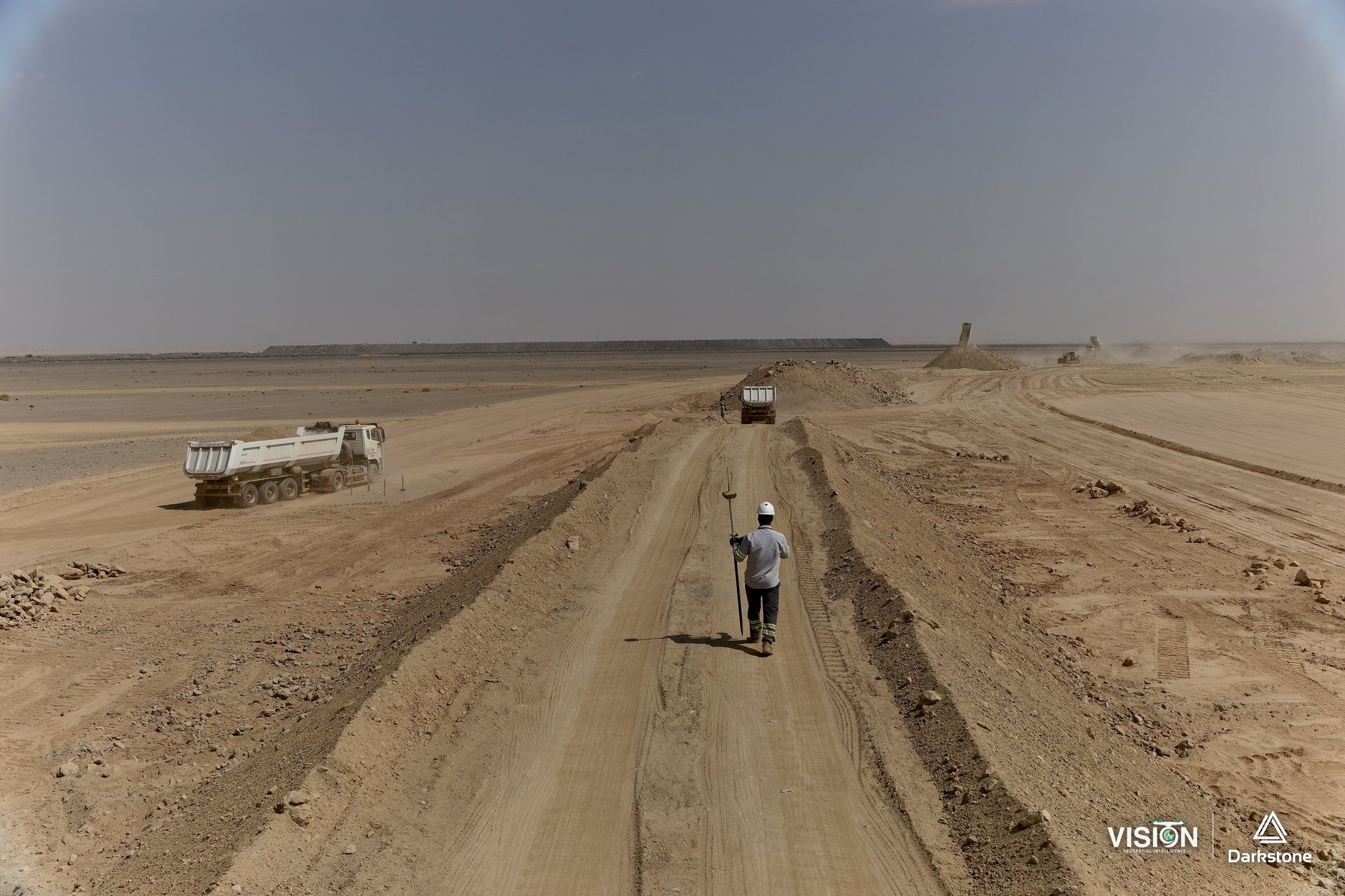
We documented construction and grading progress through scheduled drone flights, and gave the project team a file covering every stage of the project in high-quality photographs, video and virtual tours.
Darkstone Arabia carried out the construction and grading works. We handled the aerial photography and documentation.
1 / 14
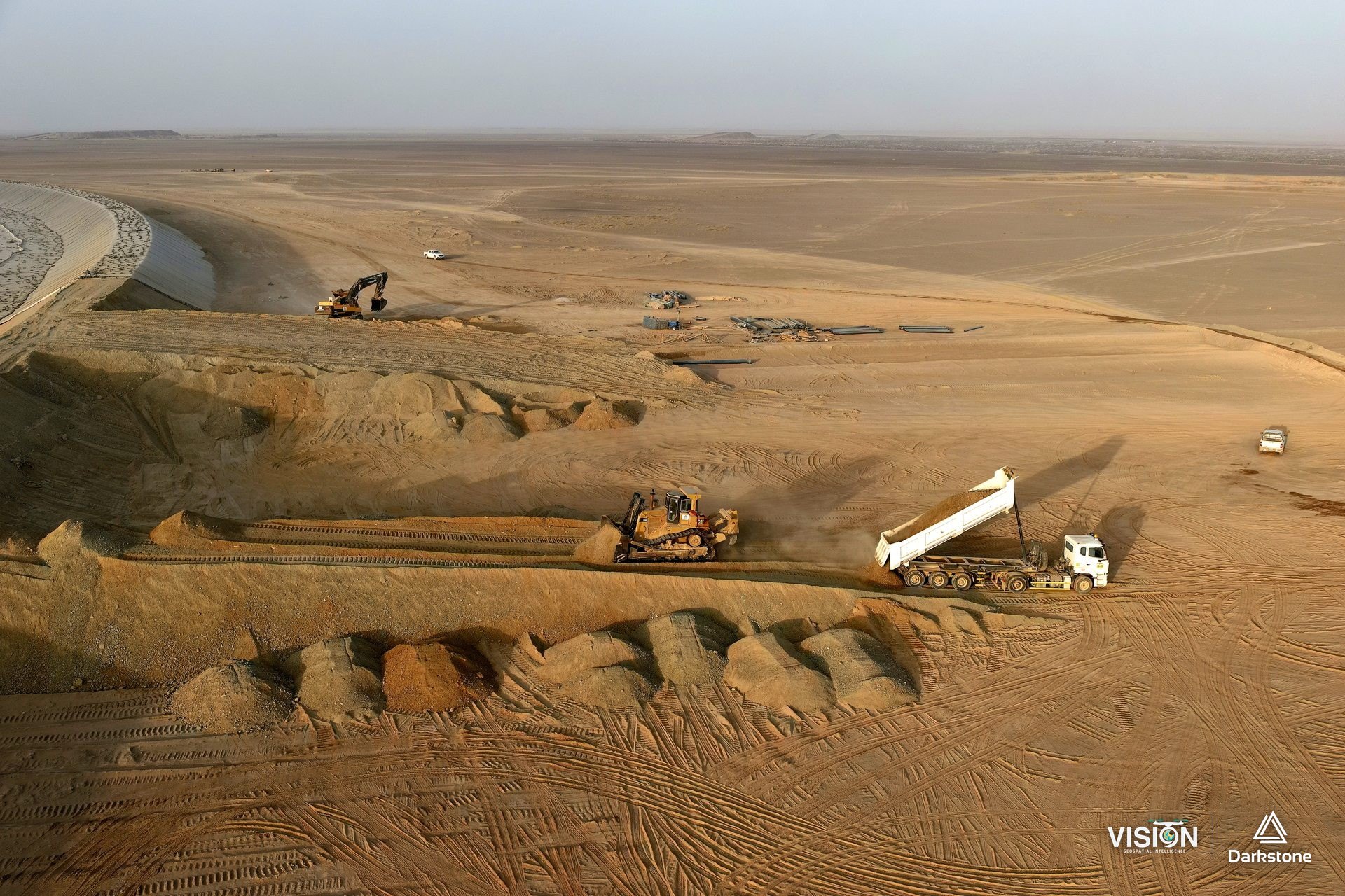
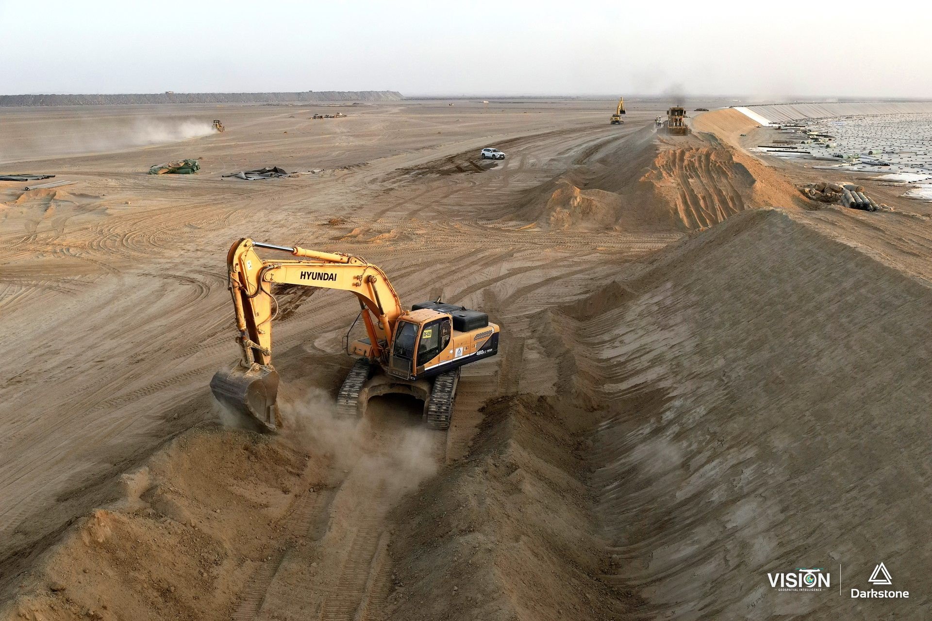
Aerial documentation
- Photography and documentation
- VISION
- Fieldwork
- Scheduled drone flights
- Deliverables
- Photographs and video by flight date