

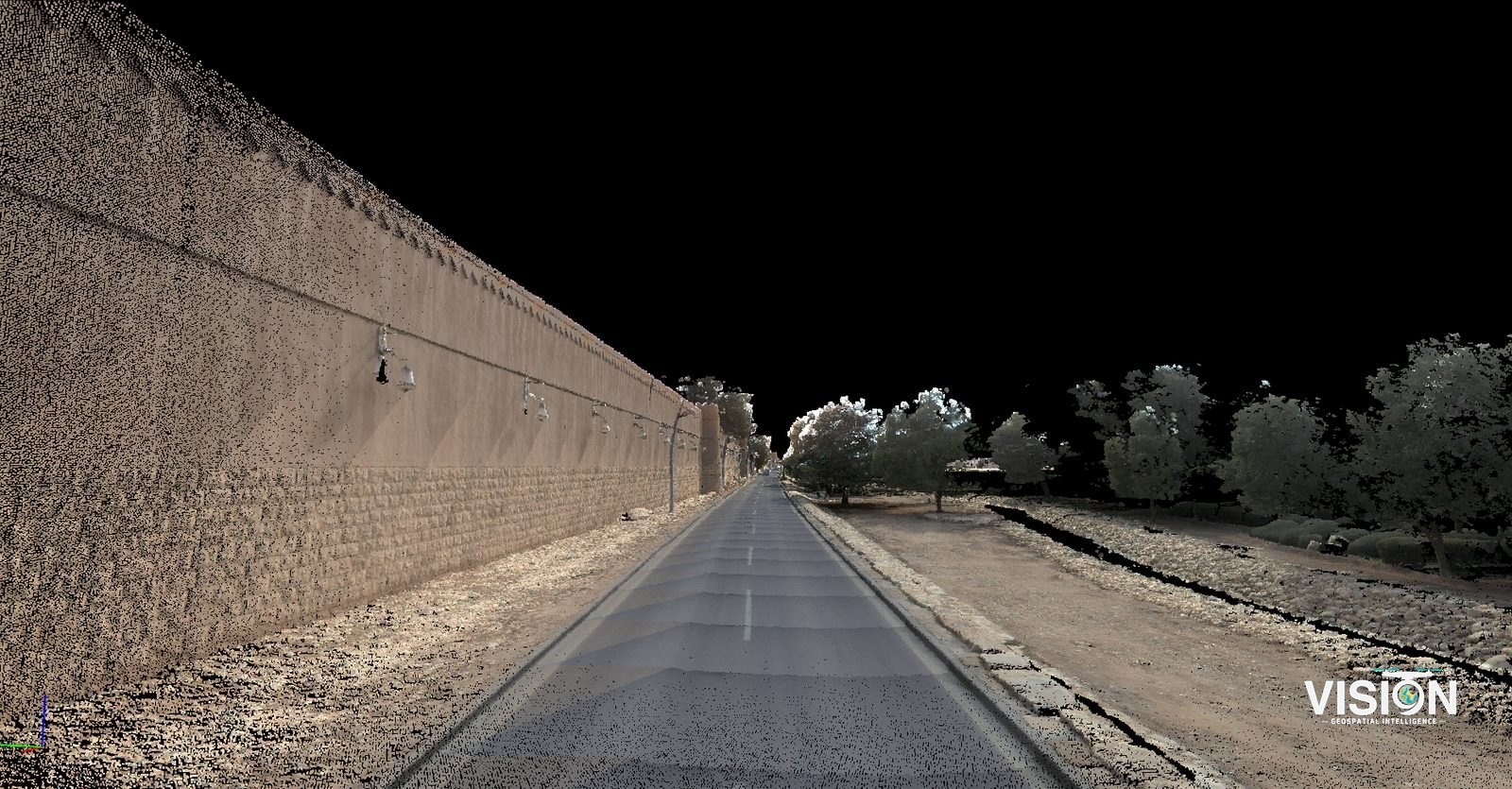
Mobile Mapping of roads
Vehicle-mounted scanning of roads, delivering point clouds, imagery and mapped features.
Scope of work
RequirementPoint clouds and imagery of urban roads.
FieldworkVehicle-mounted Mobile Mapping system, driven in normal traffic.
ProcessingProcessing scan data and imagery, preparing point clouds and extracting features to the client’s requirements.
DeliverablesRoad point clouds, imagery and mapped features.
Color and intensity
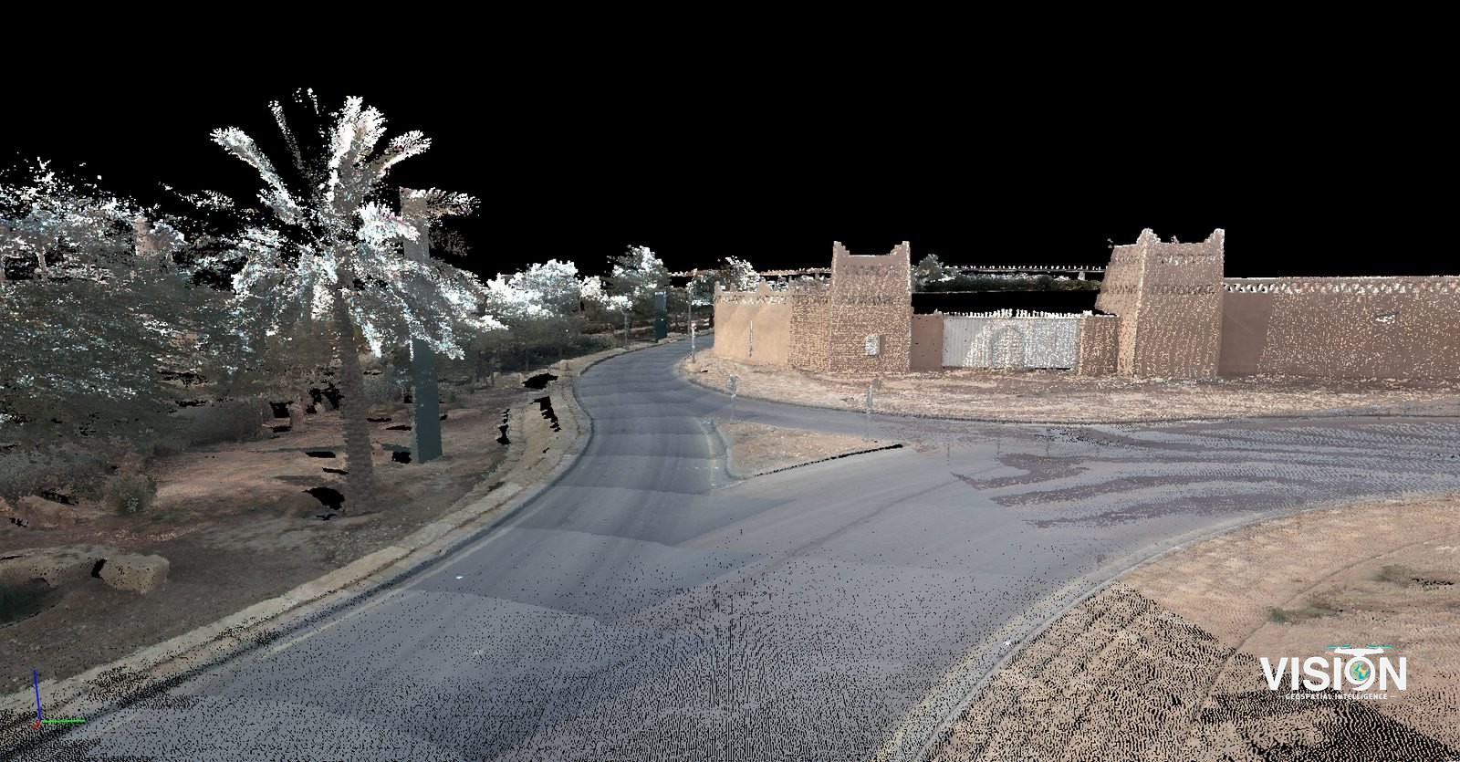
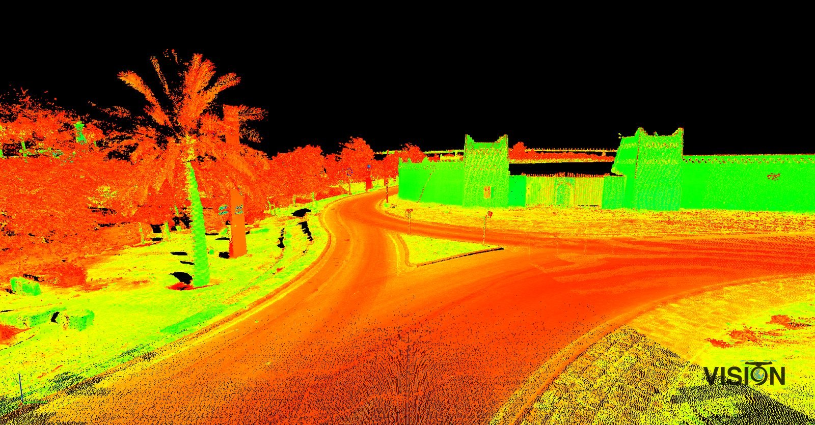 IntensityColor
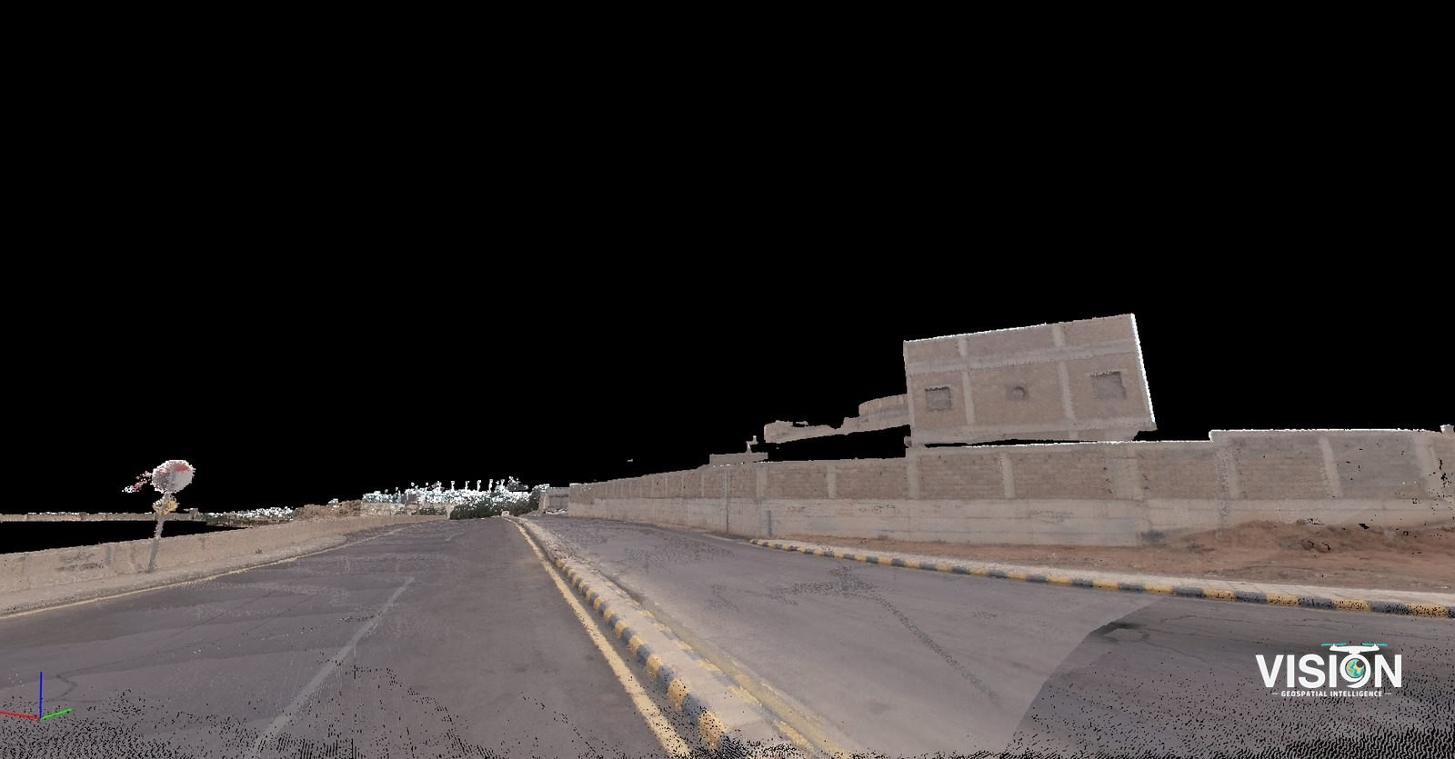
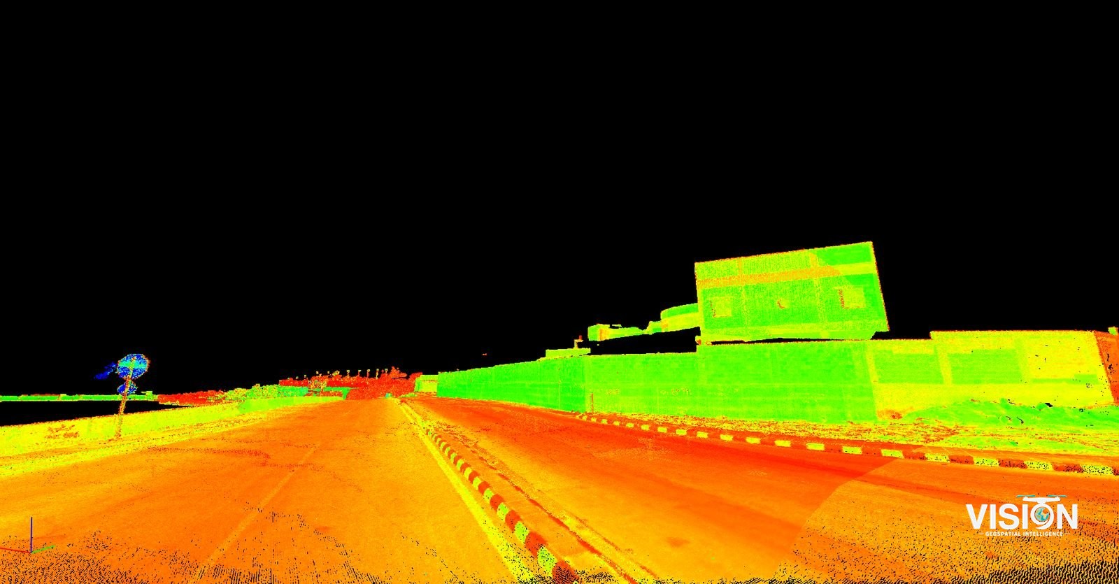 IntensityColor
Views from the survey data
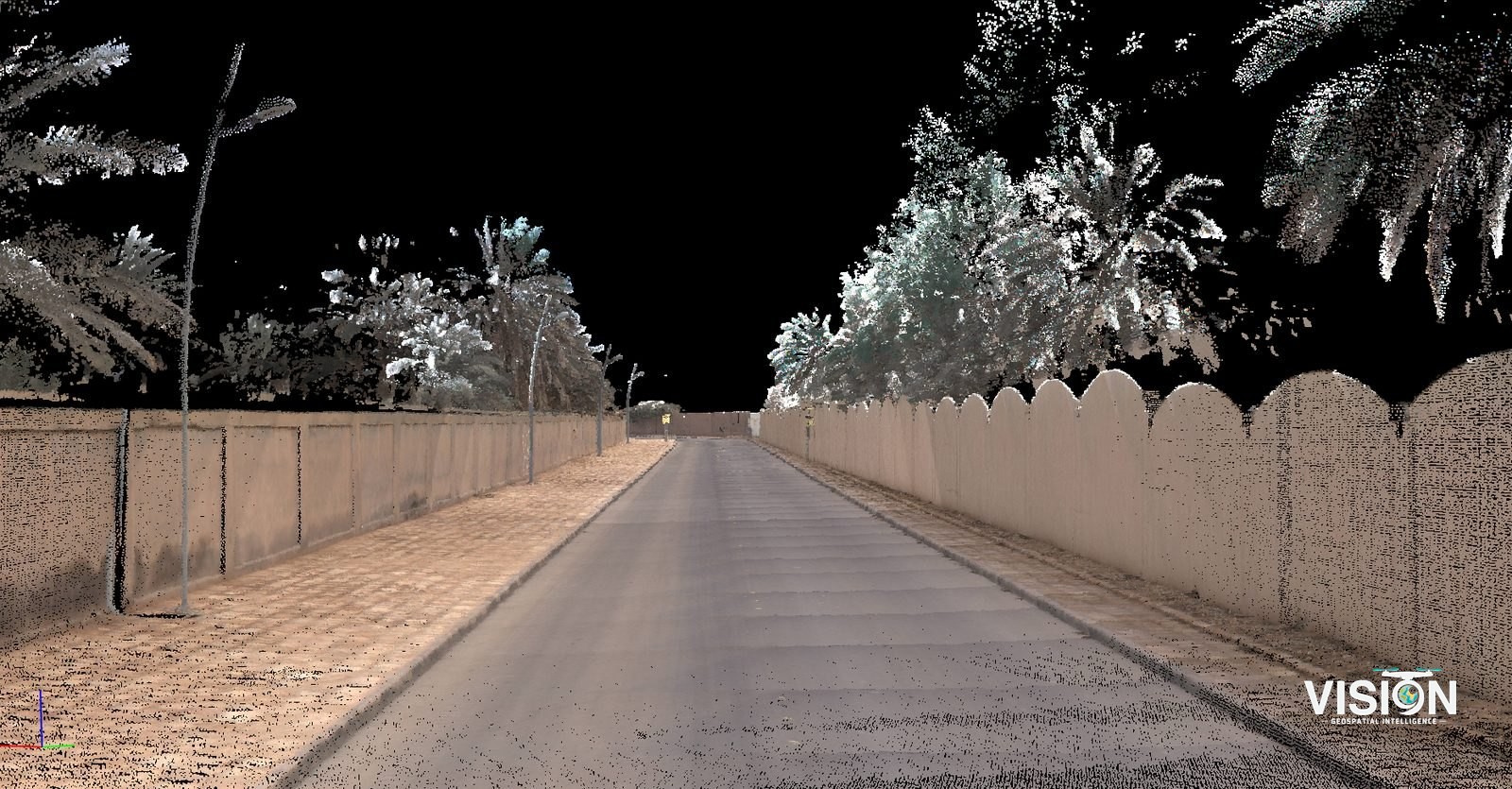
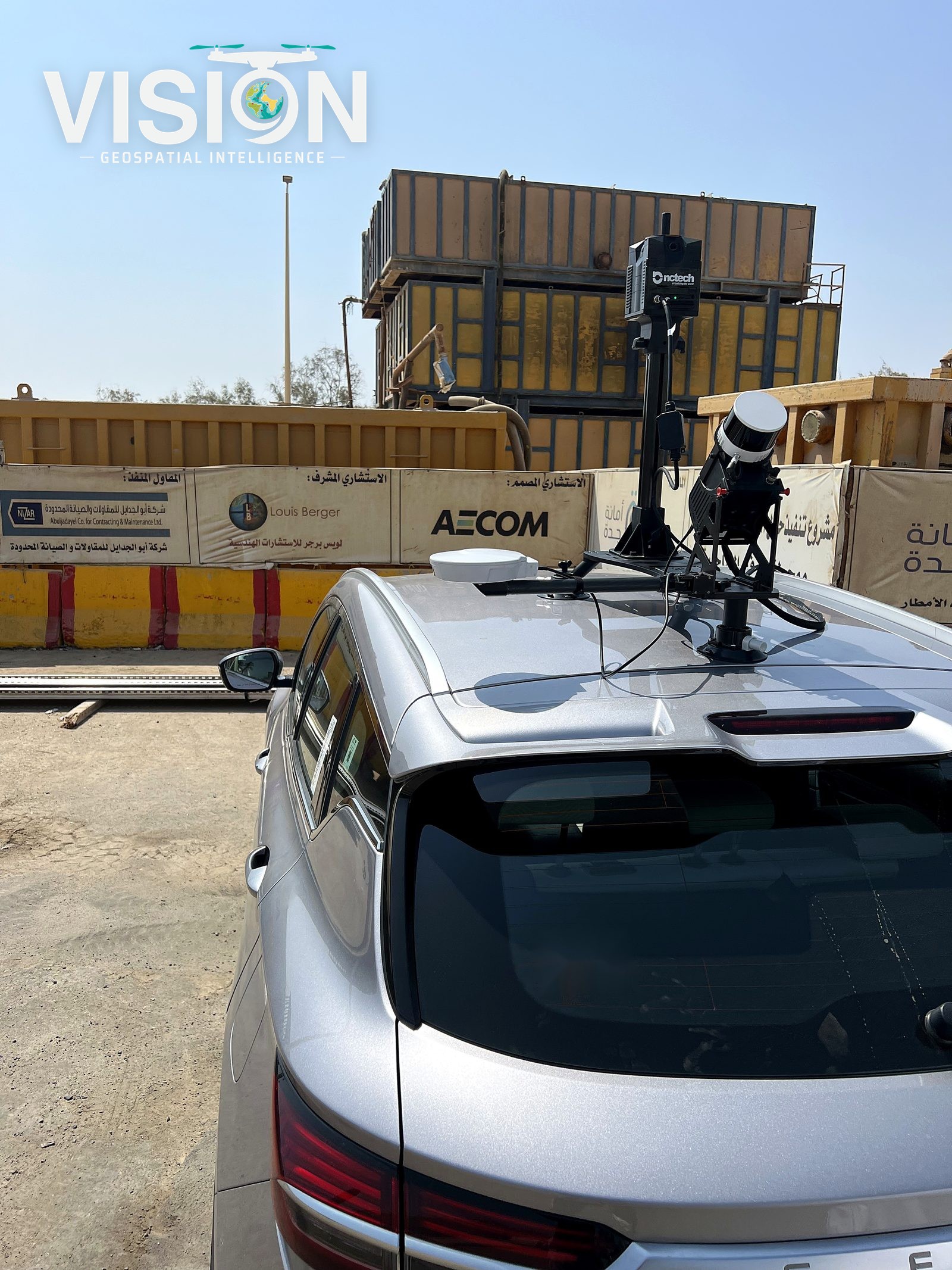
Other projects
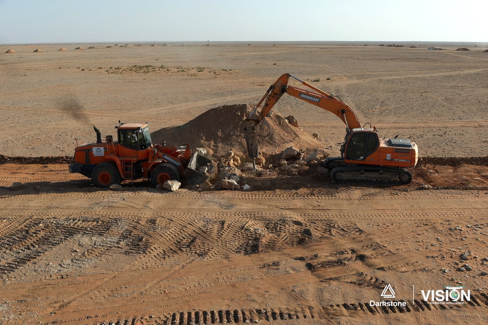
Construction photography and documentation
Aerial photography and video of active construction and grading works, in cooperation with Darkstone Arabia.
View project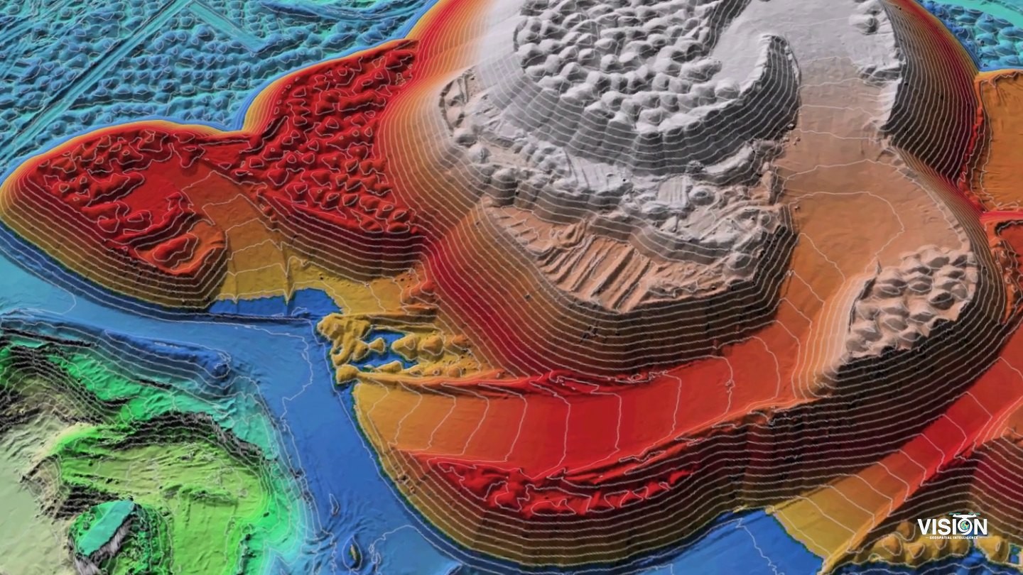
Stockpile volume survey
Aerial survey of stockpiles in storage yards with ground control, and volumes computed from the surface models.
View project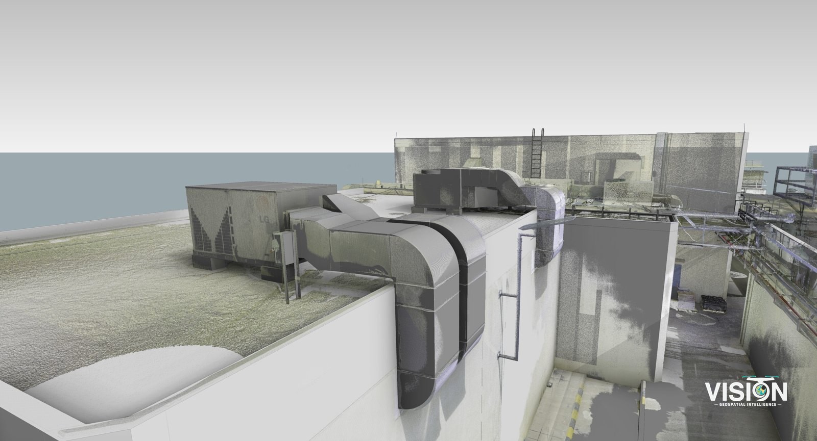
Scan-to-BIM, facility with mechanical equipment
Laser scanning of a facility, with a BIM model checked against the scan data.
View project