
Aerial mapping and LiDAR
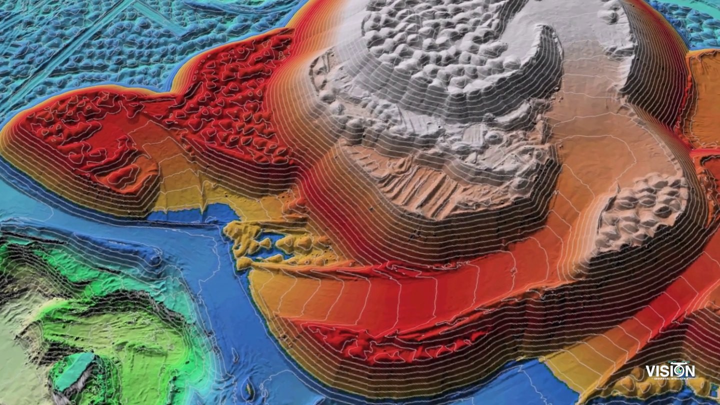
Licensed drone and aerial LiDAR surveys that produce orthophotos, terrain models and contours, with volume calculations and progress records.
- Deliverables
- Orthophoto (GeoTIFF), DTM and DSM, contours, volume report, textured 3D mesh
- Equipment and software
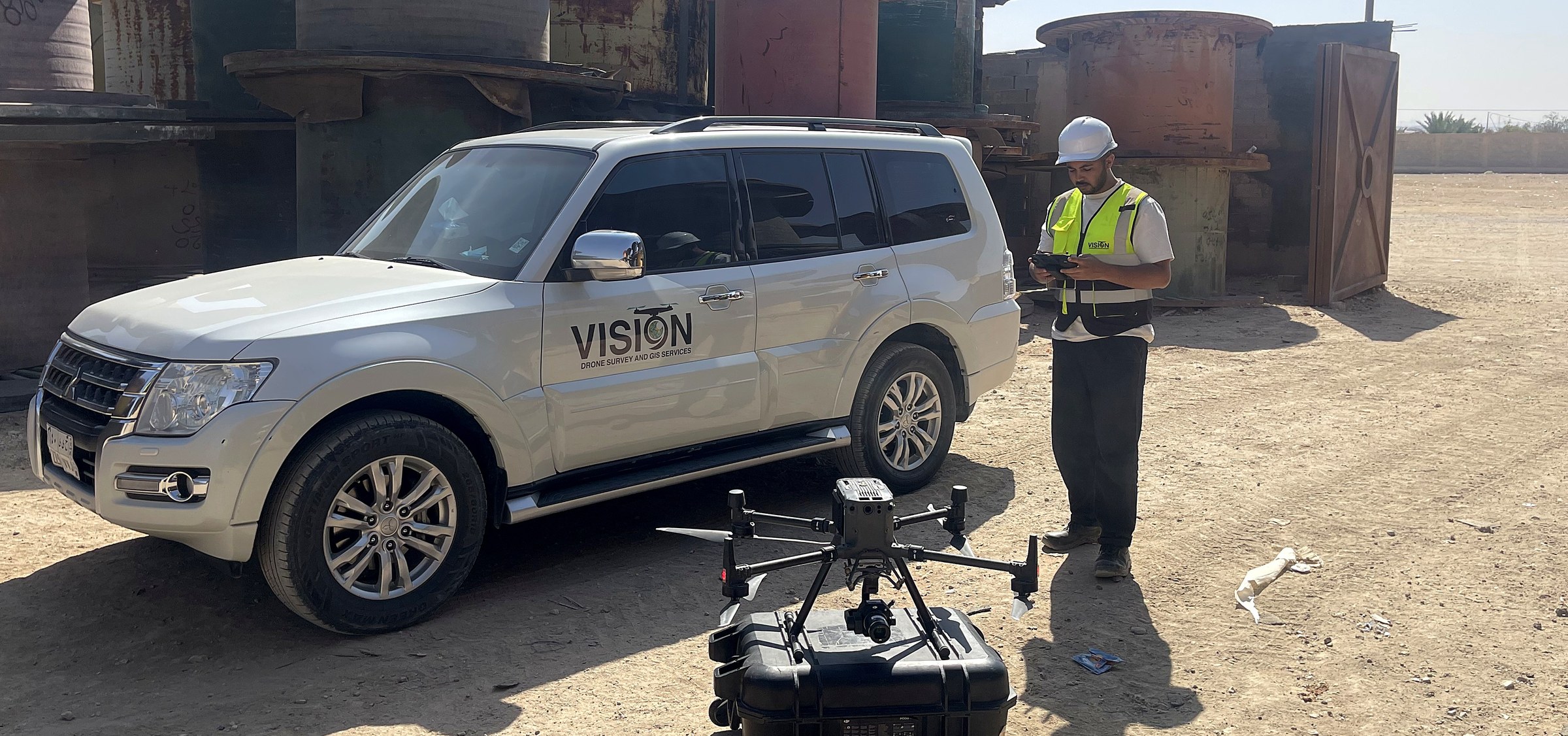
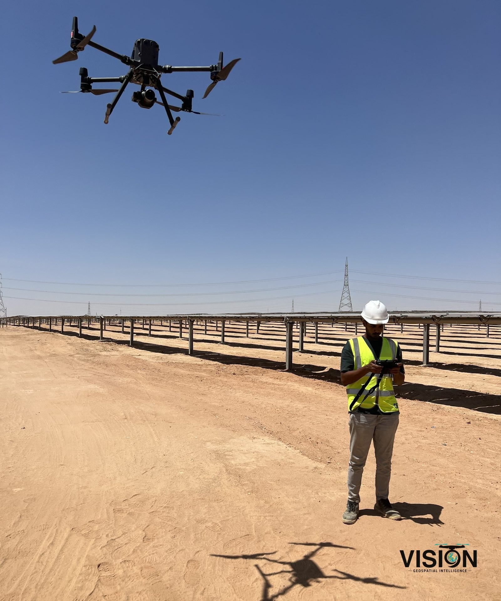
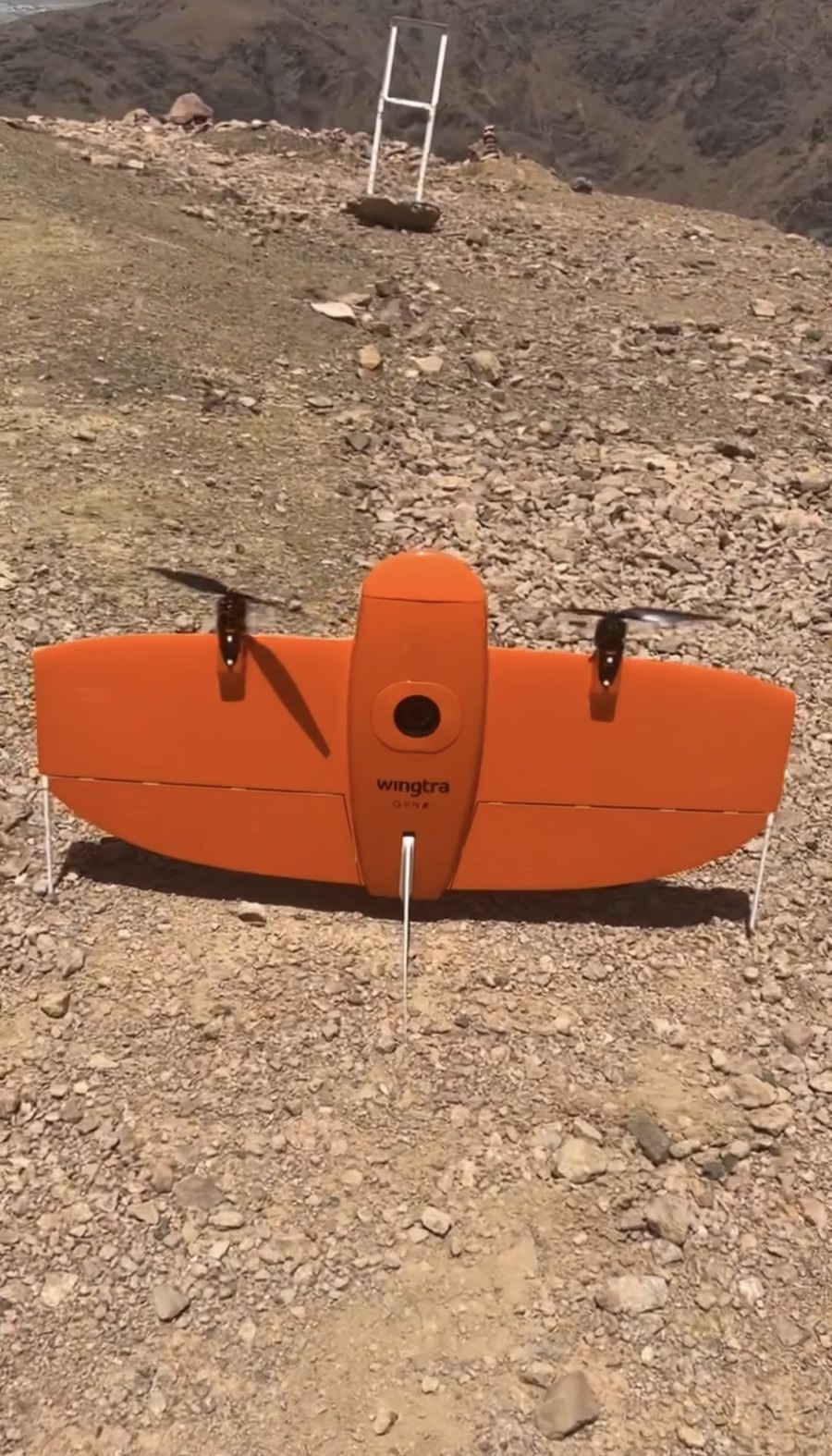
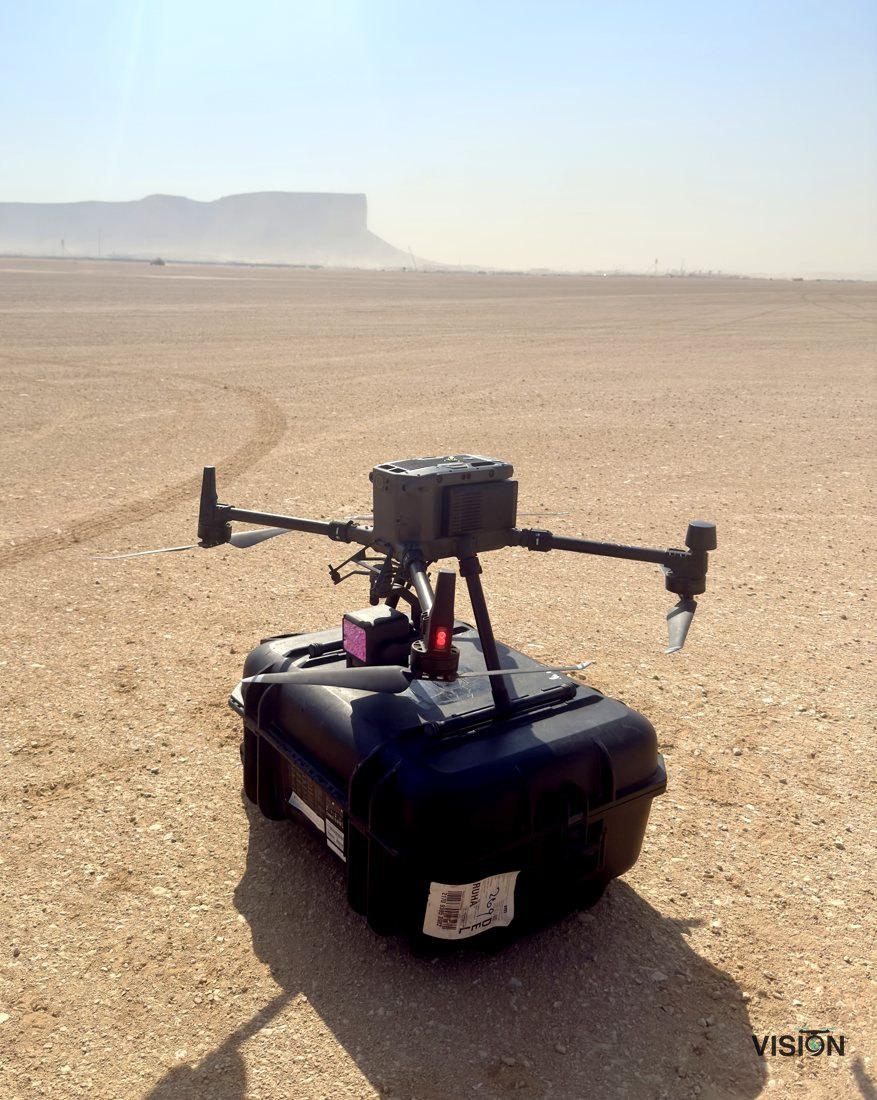
- Survey drones under GACA licensing, GNSS ground control, photogrammetry and GIS software
How we work
Plan
Survey area, flight lines, image overlap and ground control agreed for the required accuracy.
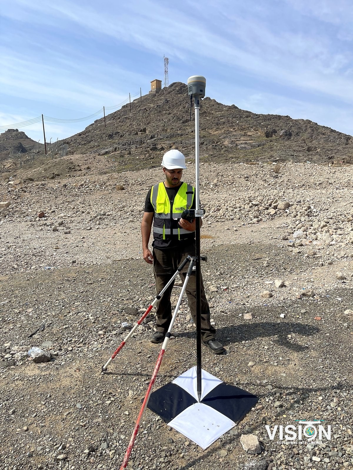
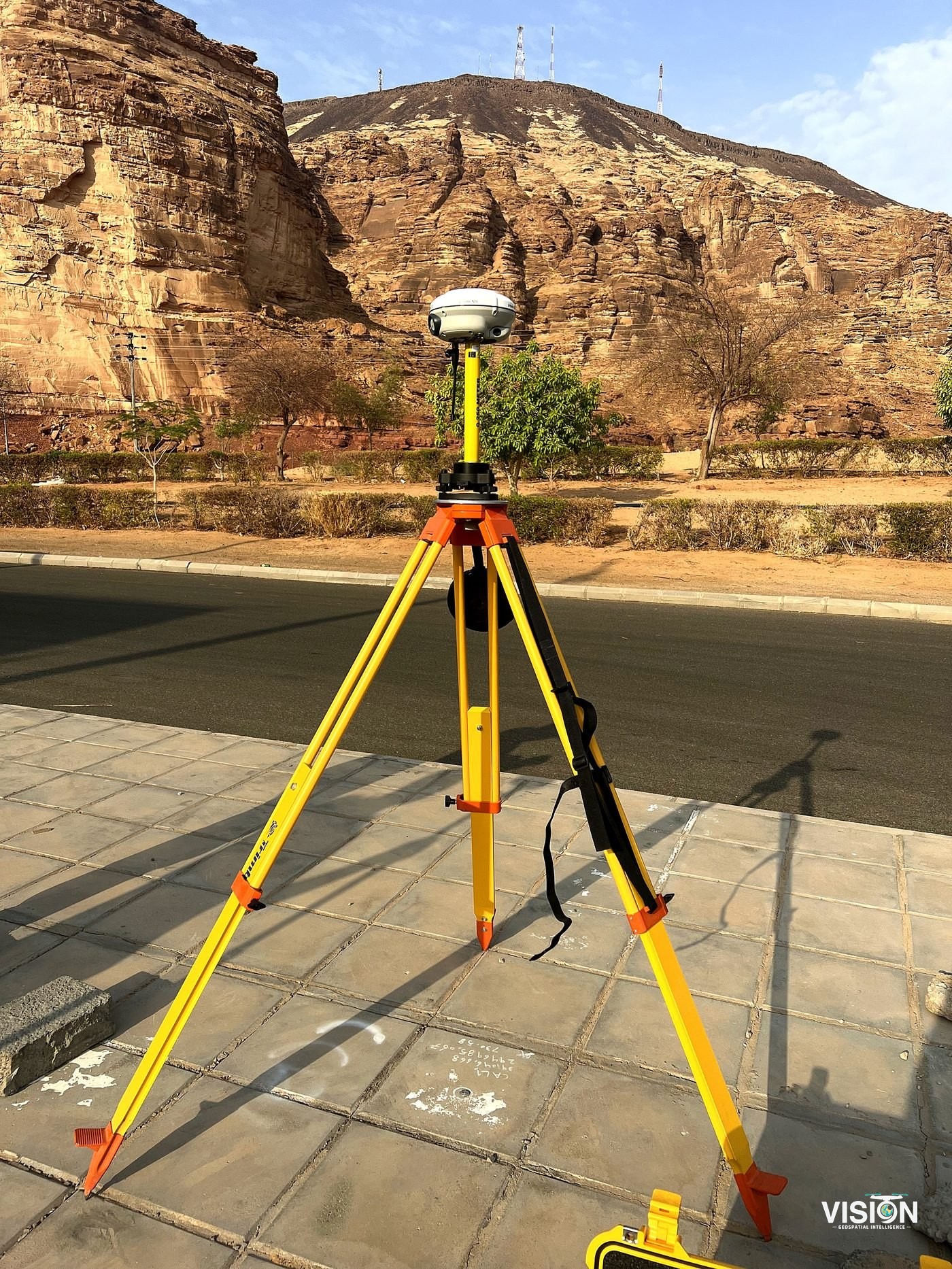
Ground control
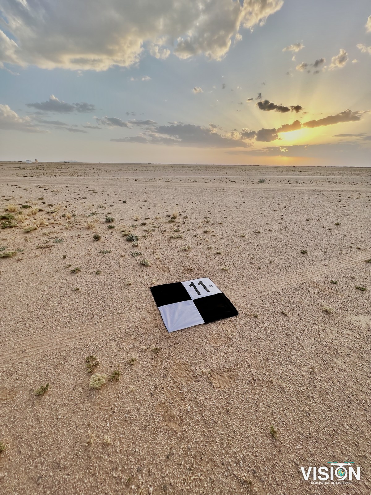
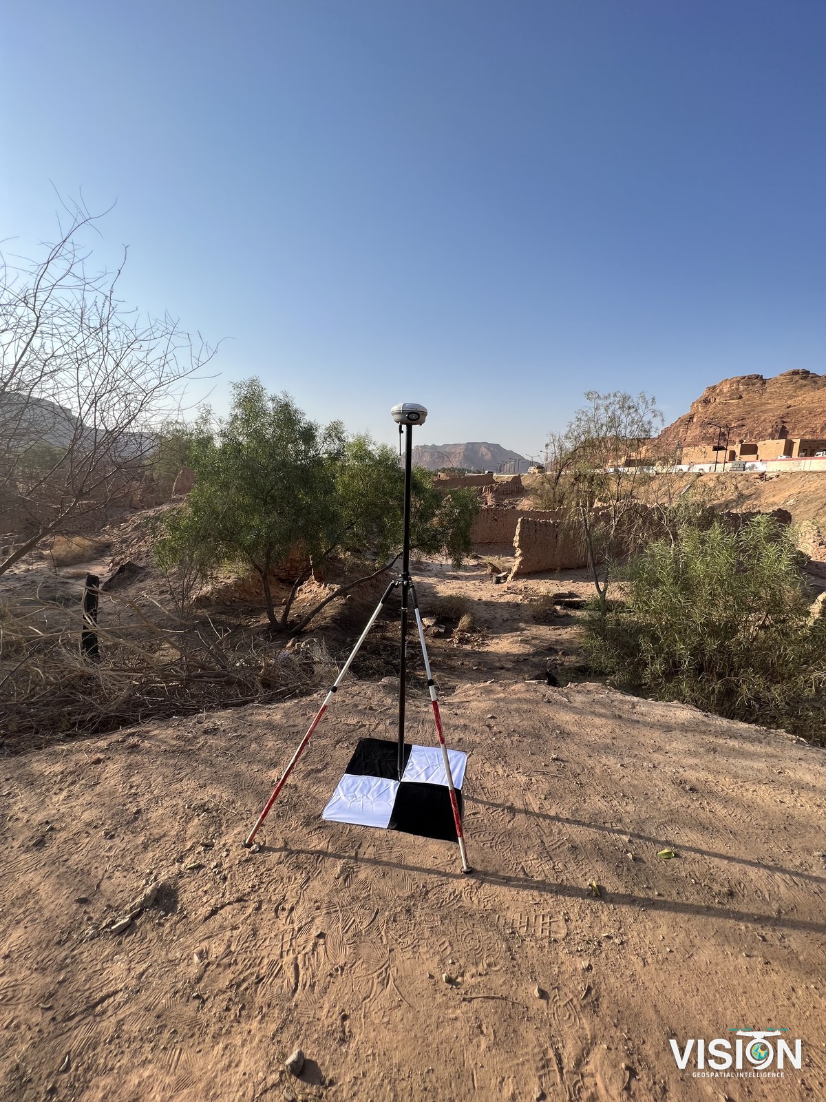
Control points and check points measured with GNSS.
Fly
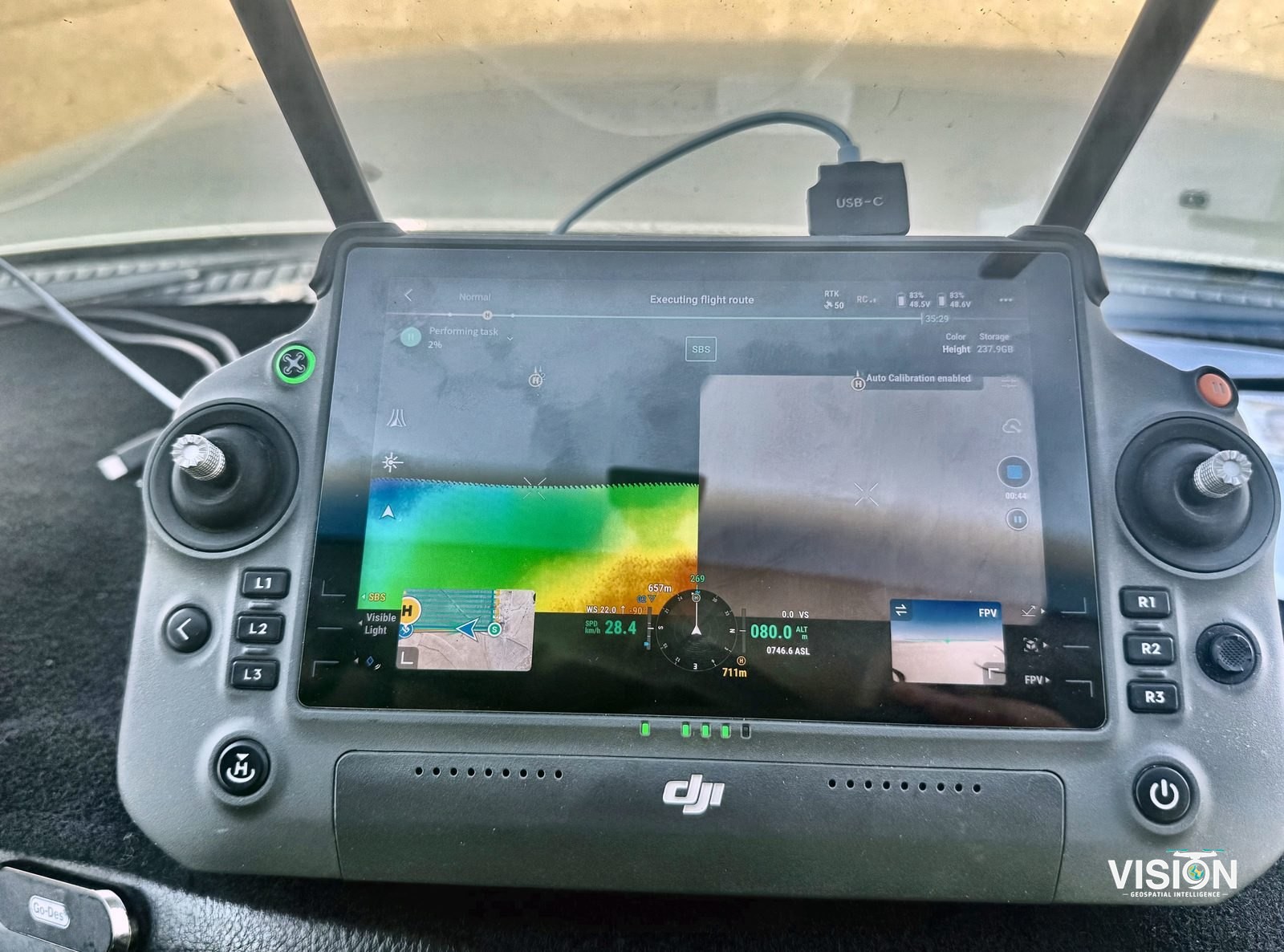
Photogrammetry or LiDAR flights over the area set in the scope of work.
Process
Orthophotos, surface models, contours and volumes produced and checked.
Deliver
Files compatible with the client's software and the scope of work, with a survey report.
Ground control
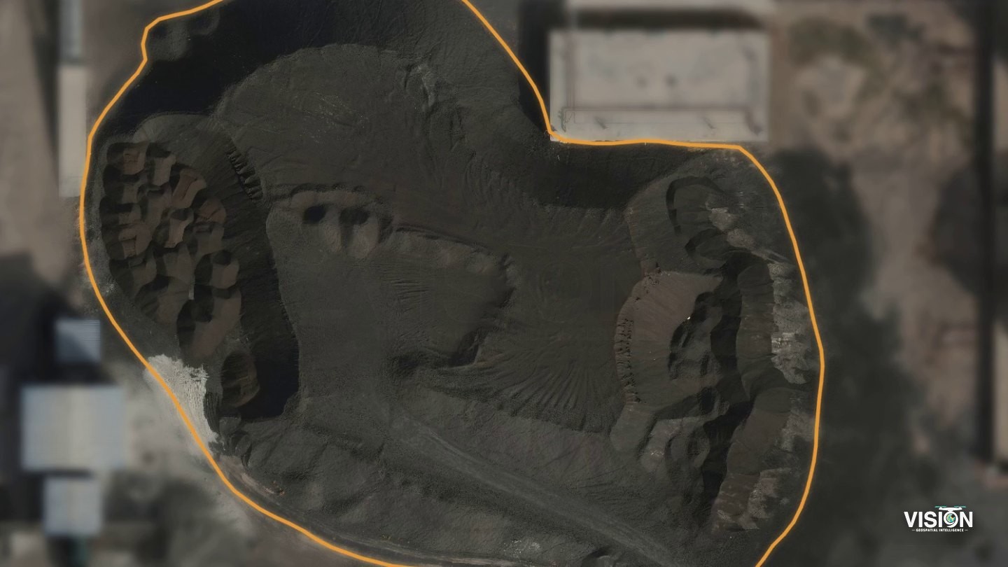
Stockpile volume surveys
Each pile is measured from a survey tied to ground control, and the method is recorded for later surveys.
Cadastral and land surveys
Aerial mapping supports boundary definition and parcel mapping.
- Boundary and parcel surveys
- Orthophoto base maps
- Survey reports and plans
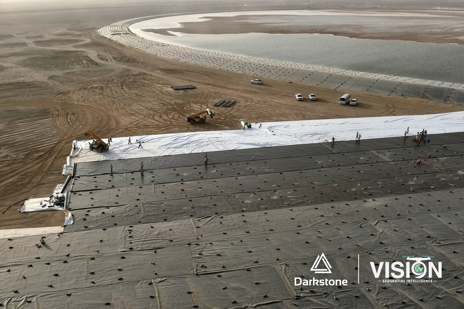
Progress documentation
Scheduled flights give the project team an aerial record of every stage of the works.
Outputs
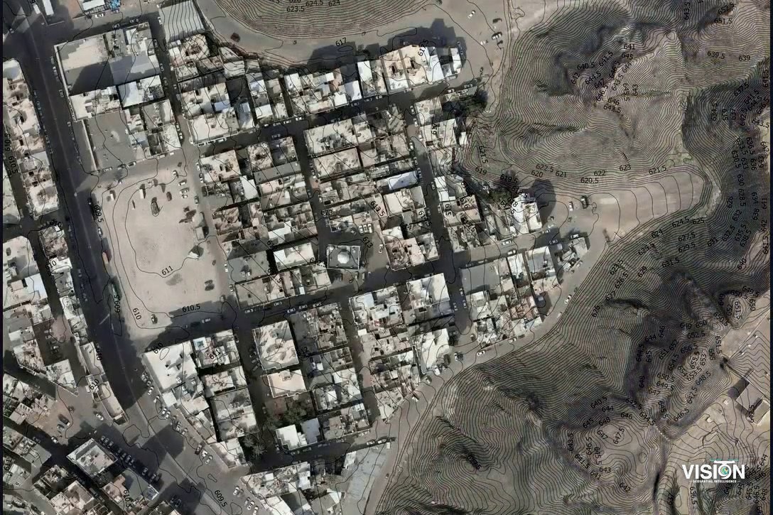
Orthophoto
A true-to-scale aerial base map in the project coordinate system.
Surface and terrain models
A digital surface model (DSM) with structures and vegetation, and a digital terrain model (DTM) of the bare ground.
Contours
Generated from the terrain model at the interval the design requires.
Textured 3D mesh
A photo-textured 3D model of terrain and structures.
Volumes
Stockpile and cut-and-fill quantities from the surface models.
Progress documentation
Repeat flights over active sites.
Survey flights
Equipment and software
Software and processing
Photogrammetric processing
Orthophotos and surface models produced from the drone images and tied to ground control.
Terrain models and contours
Terrain models, contours and volumes computed from the surface models.
GIS
Results delivered as layers and maps ready for your GIS.
Main software we use
 Agisoft MetashapePSX, GeoTIFF
 Pix4DmapperLAS, GeoTIFF
 Autodesk Civil 3DDWG, LandXML
 ArcGIS ProGDB, SHP
 QGISGPKG, SHP