

Deliverables and file types
Documented maps, models and survey data, prepared in the formats set in the scope of work for design, analysis and construction monitoring.
File types
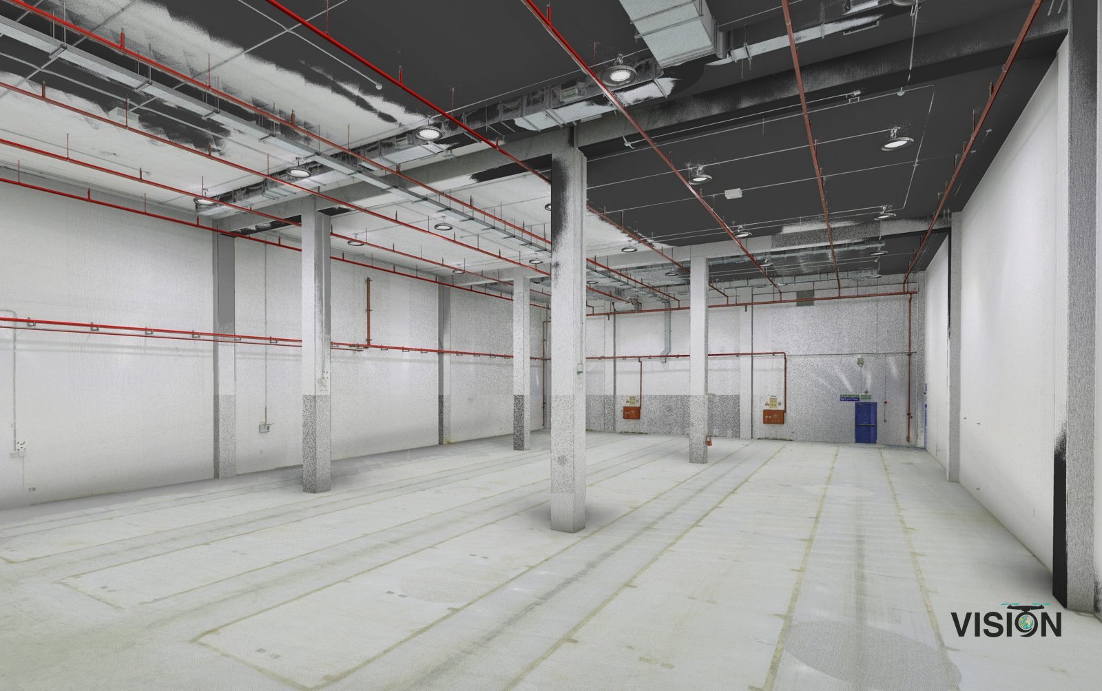
Point clouds
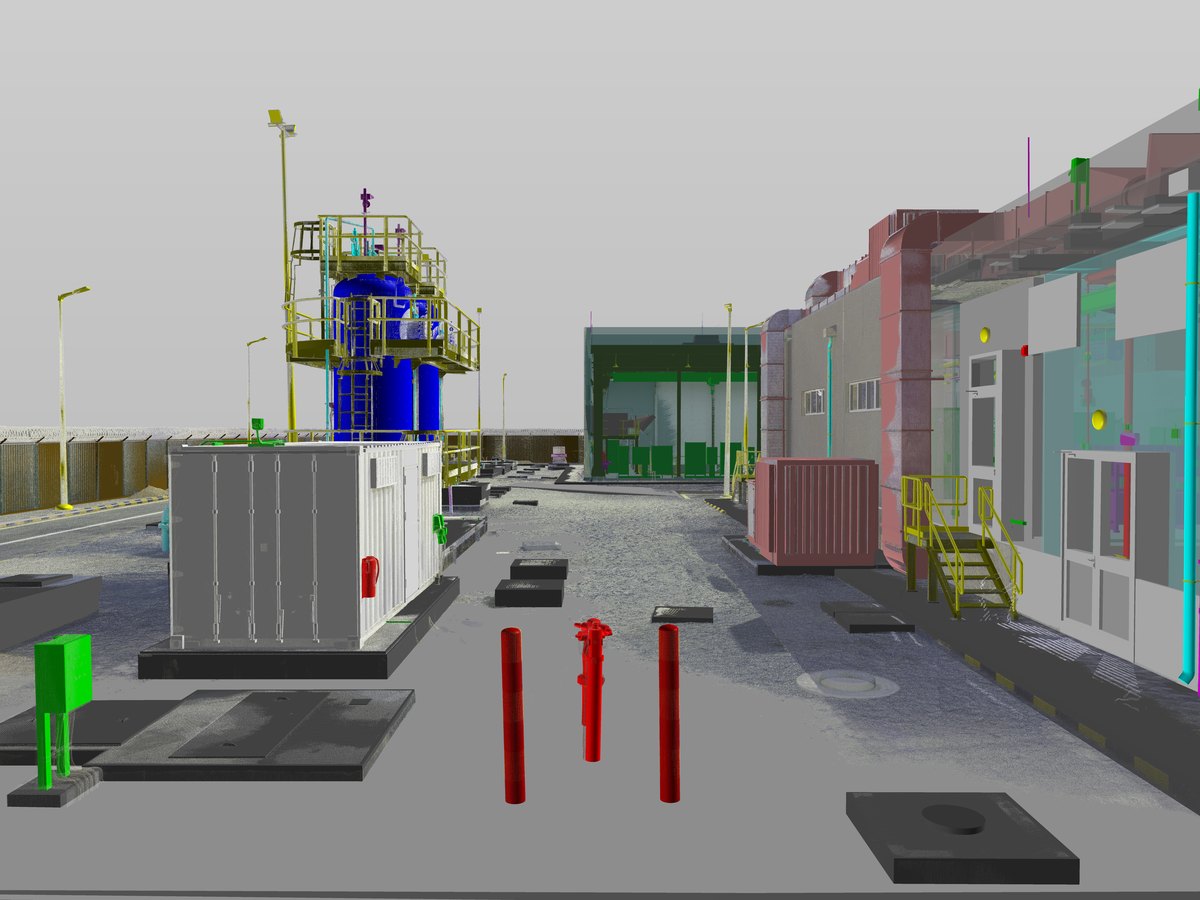
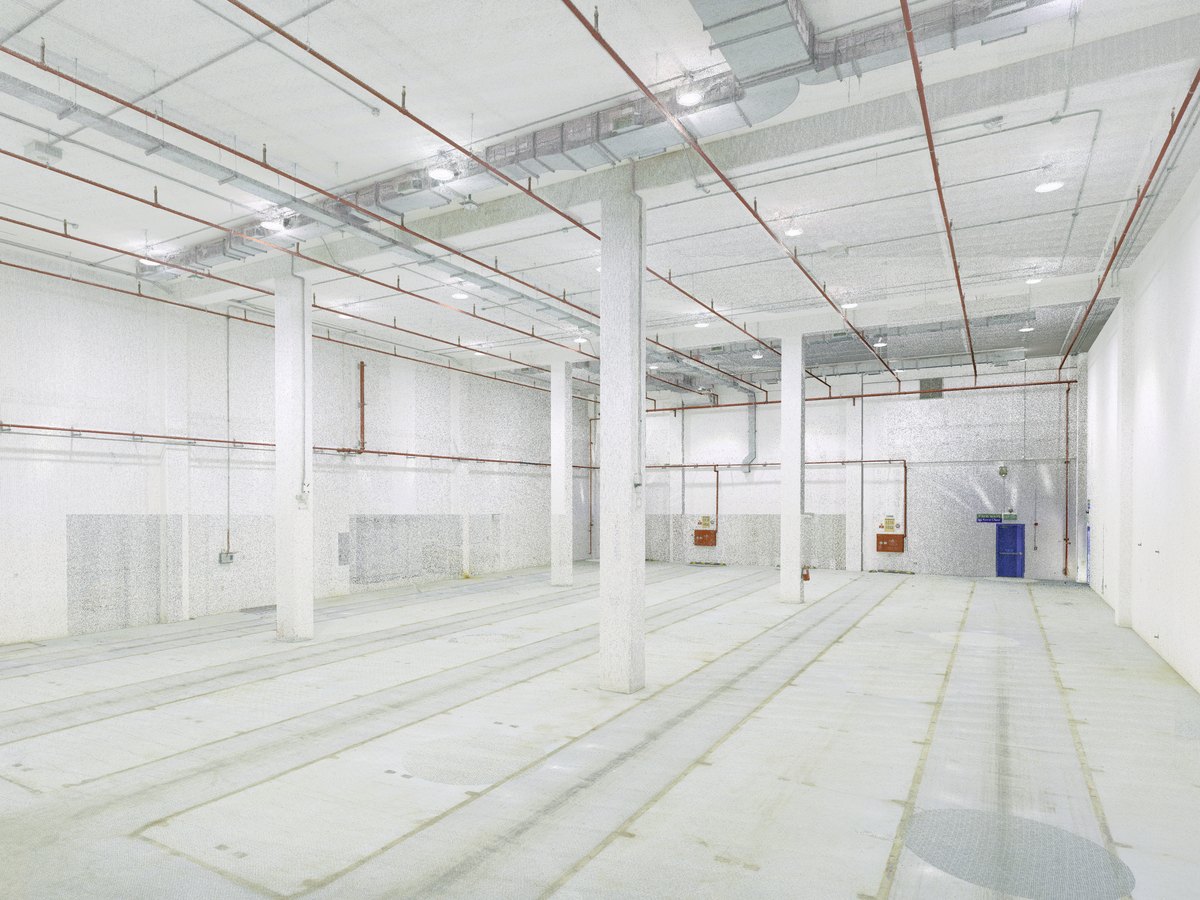
Registered, cleaned and classified scan data in the project coordinate system.
E57LASLAZRCP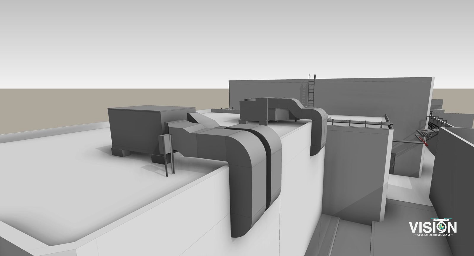
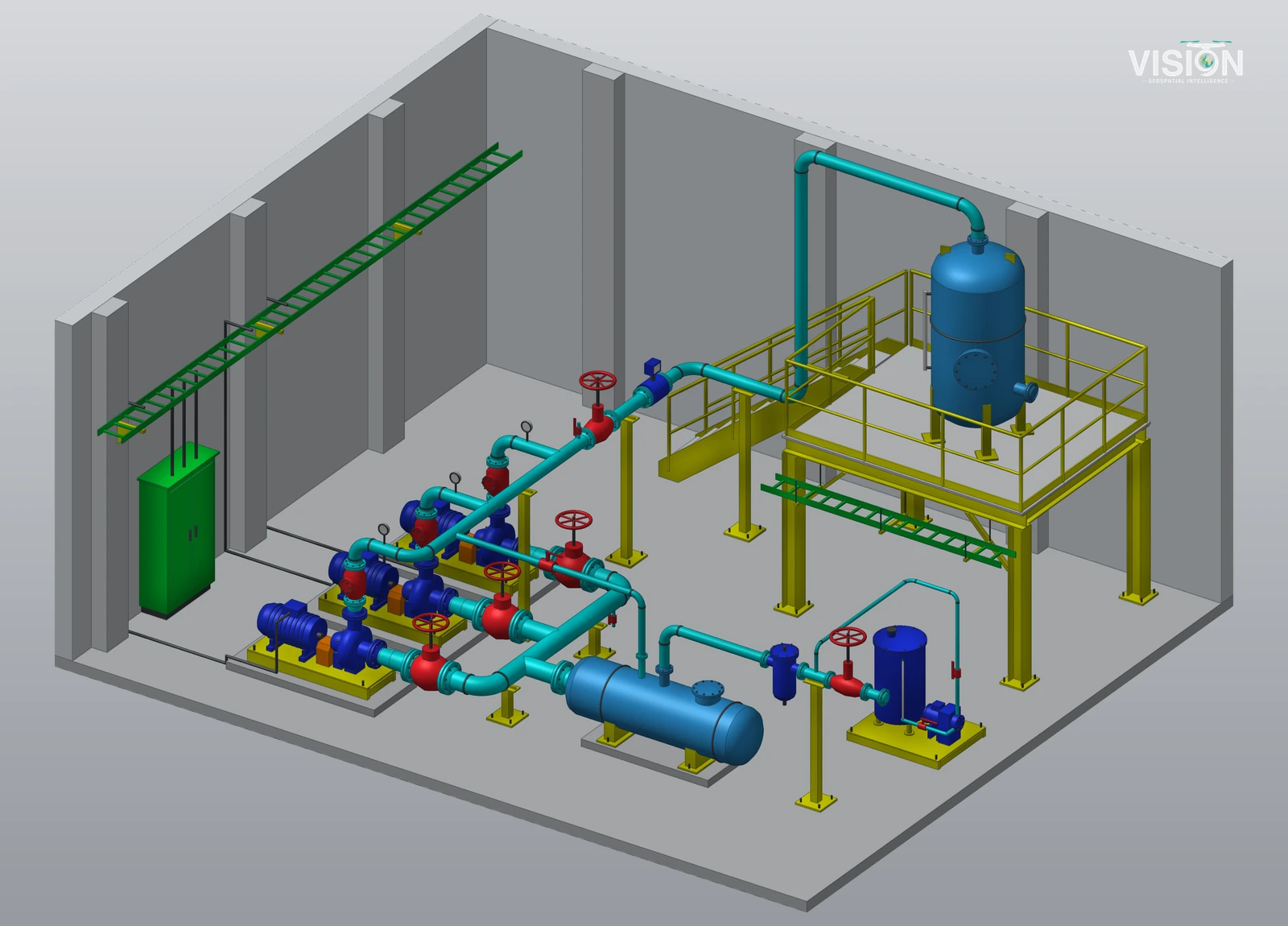
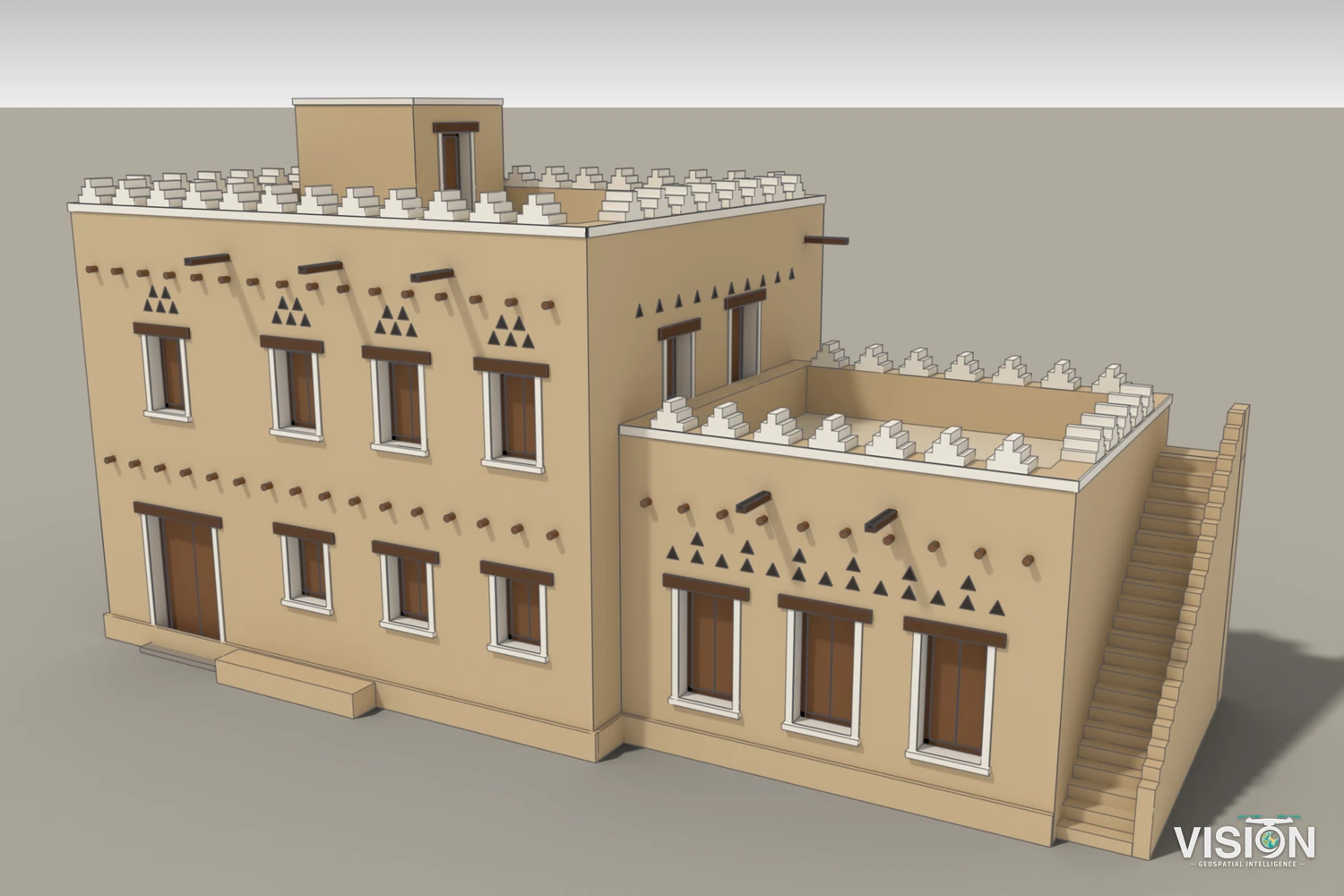
BIM models
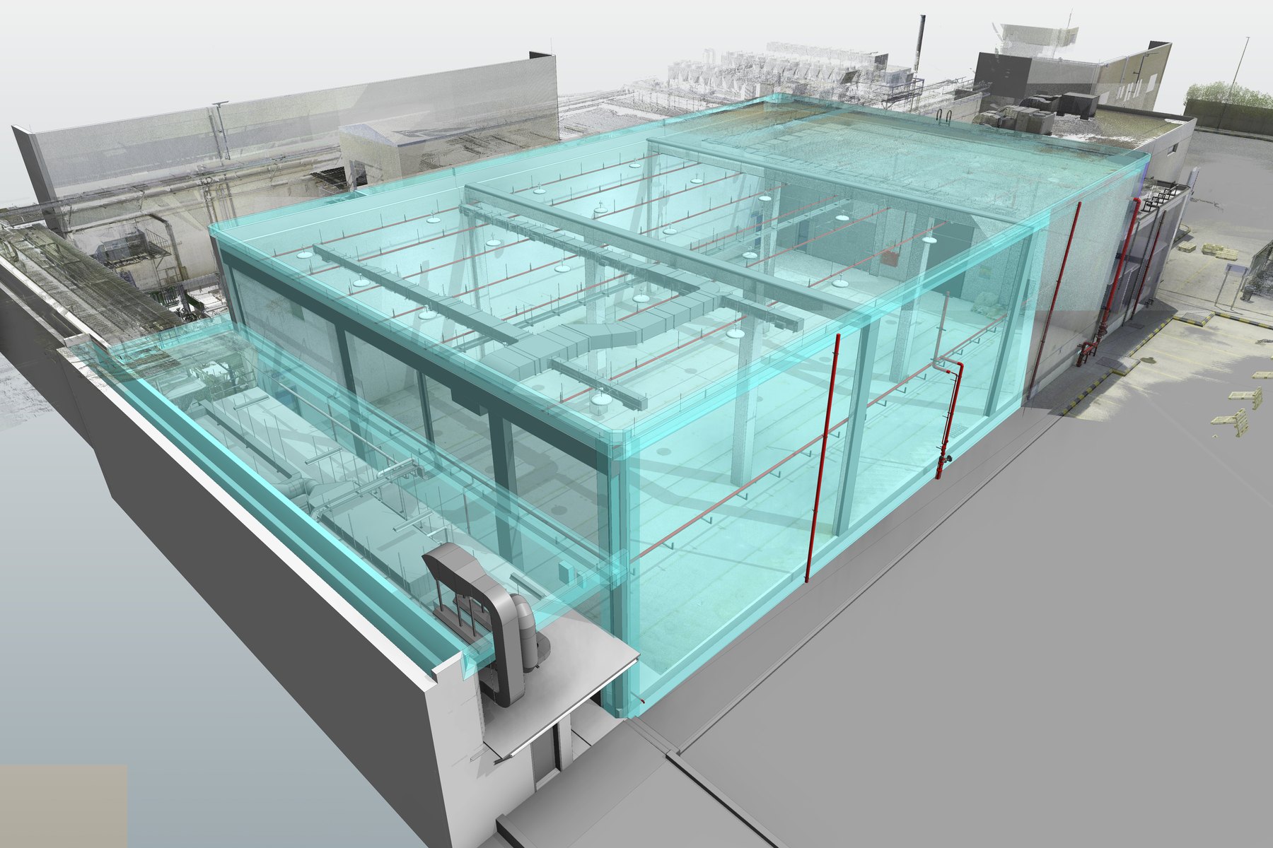
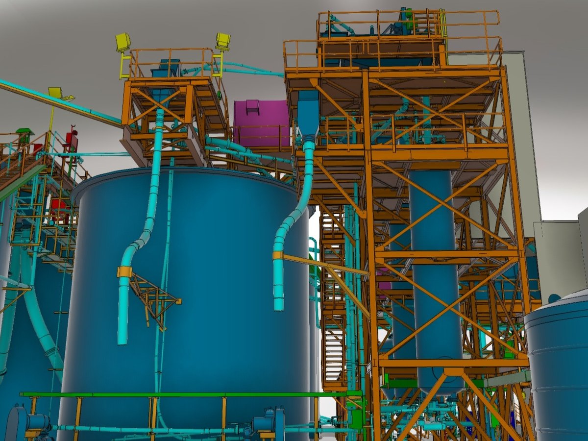
BIM models developed to the requirements set in the scope of work and checked against the scan data.
RVTIFC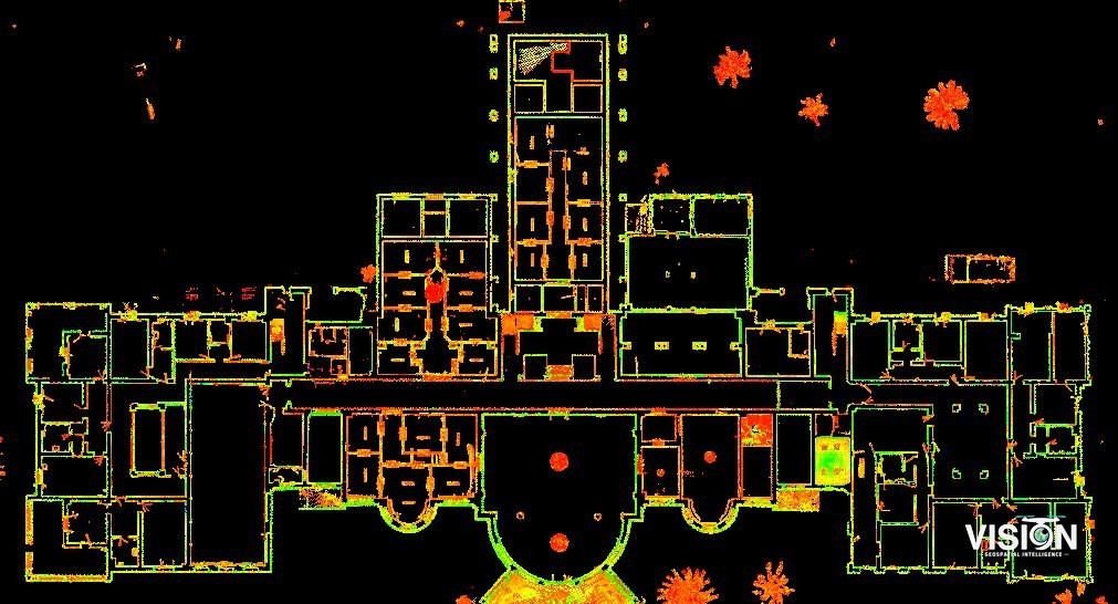
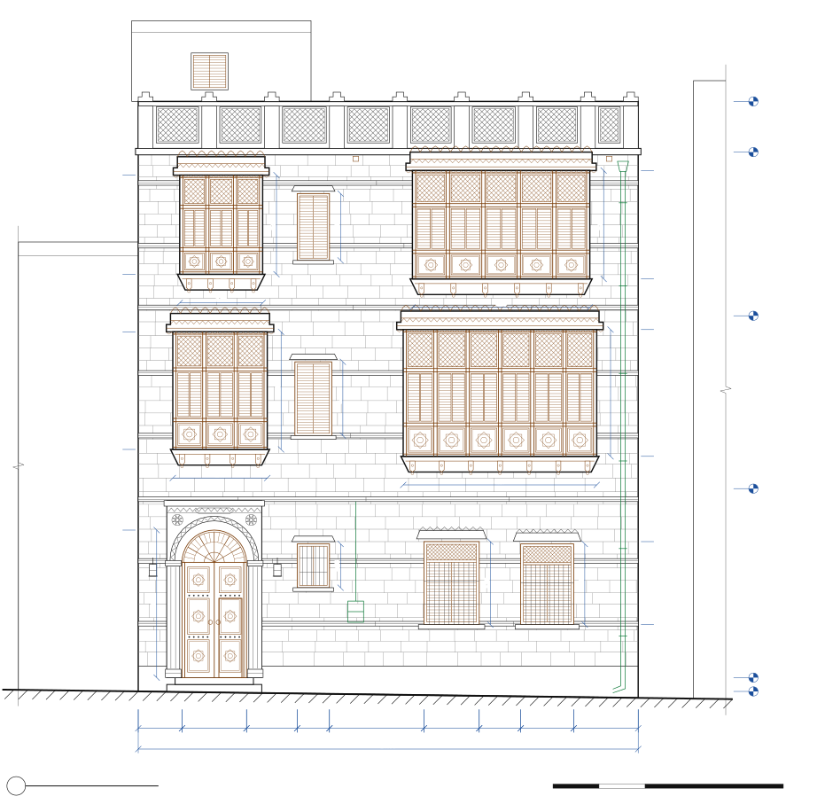
CAD drawings
Plans, sections, elevations and details drafted from the survey data.
DWGDXFPDF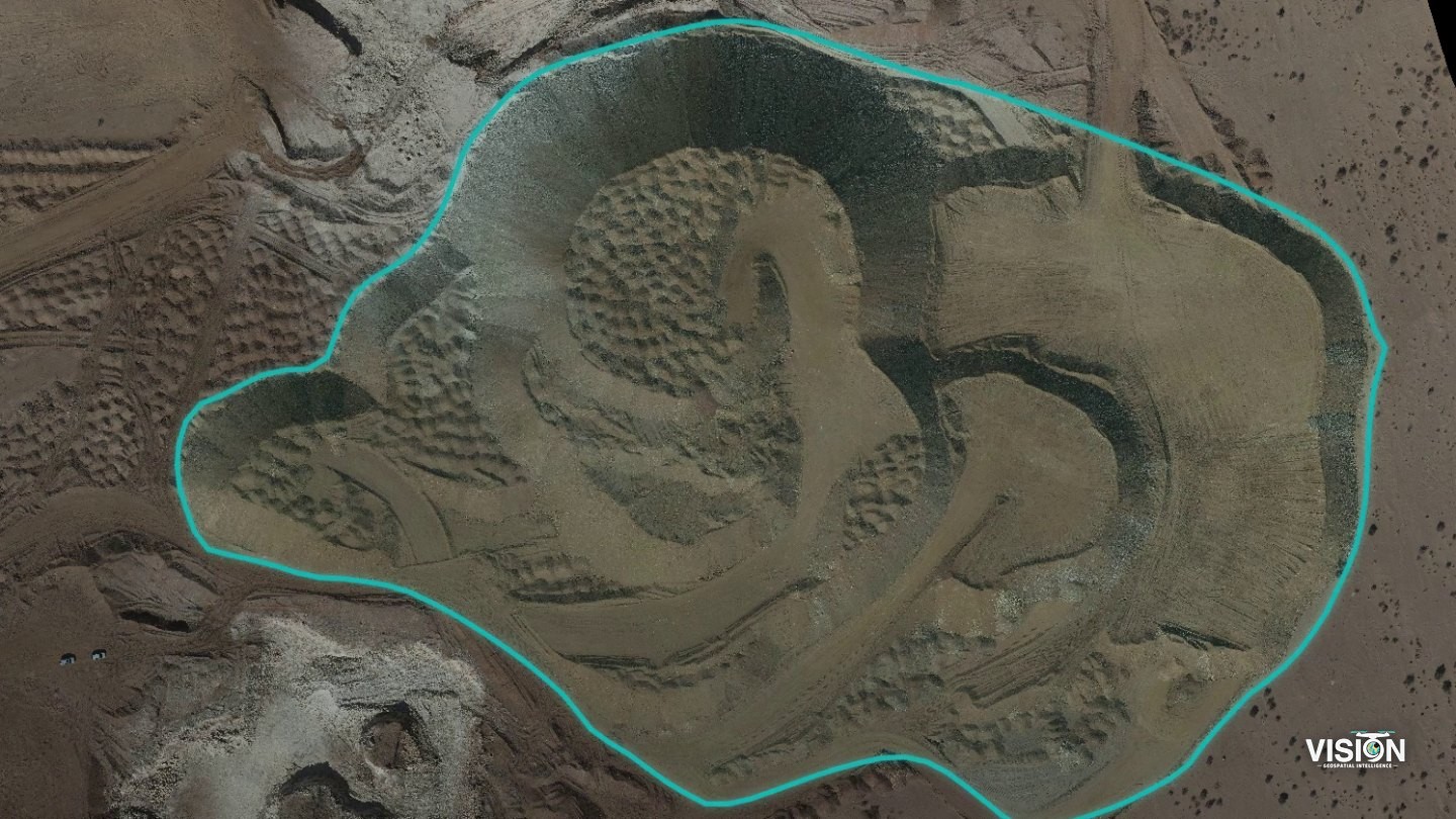
Orthophotos
True-to-scale aerial base maps in the project coordinate system.
GeoTIFF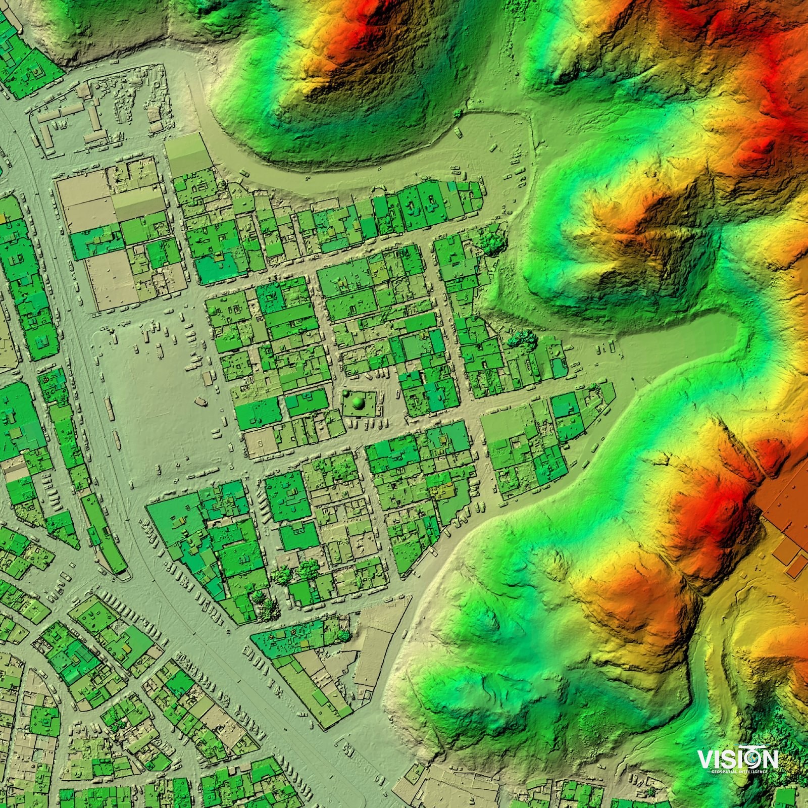
DTM, DSM and contours
Terrain models, surface models and contours, ready for civil design software.
GeoTIFFLandXMLDWG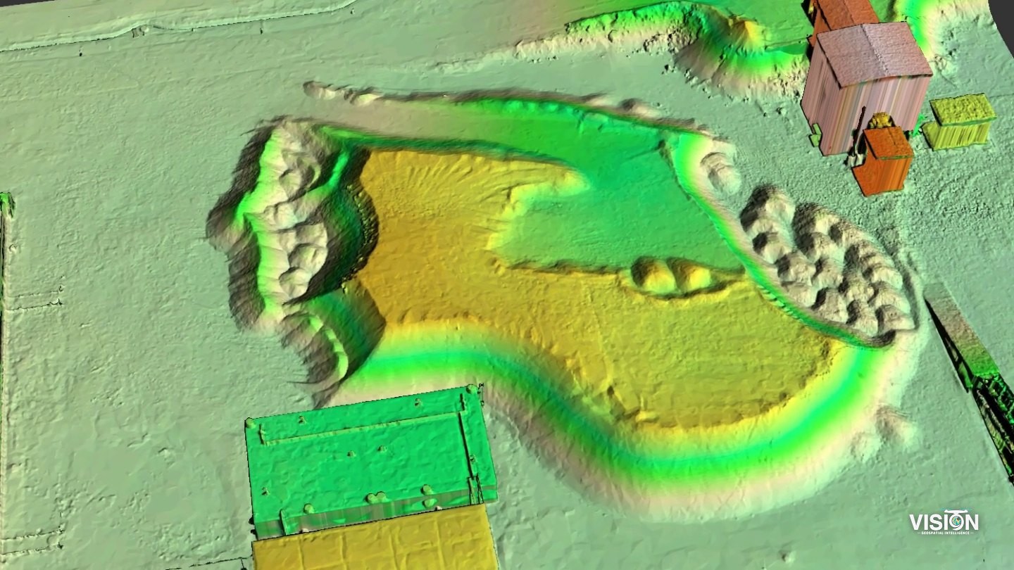
Volume reports
Pile outlines and volumes computed from the surface models, with the method recorded.
PDF reportSurfaces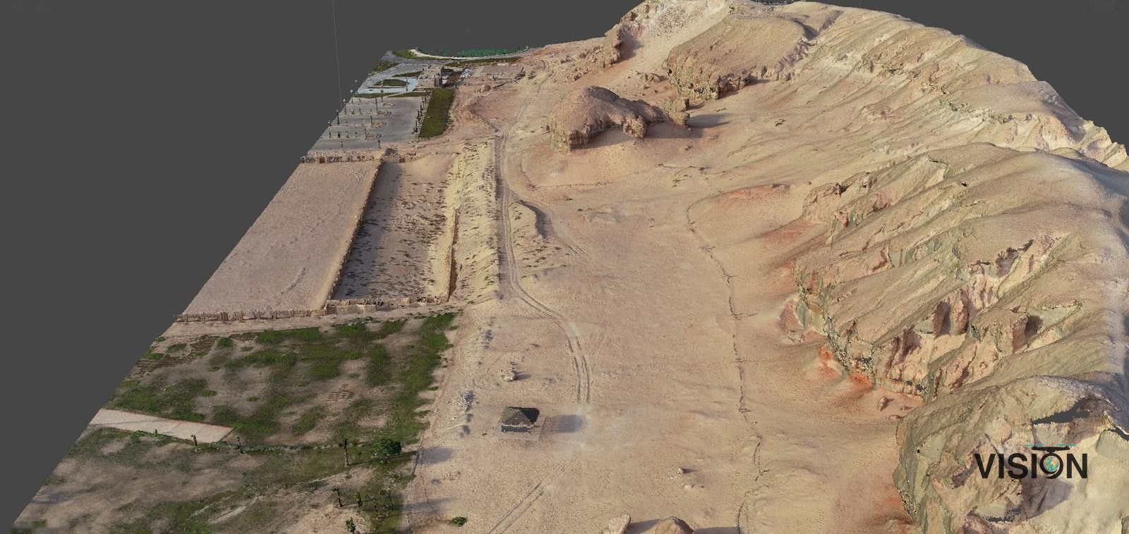
Textured 3D meshes
Photo-textured 3D models of terrain and structures.
OBJFBX3D Tiles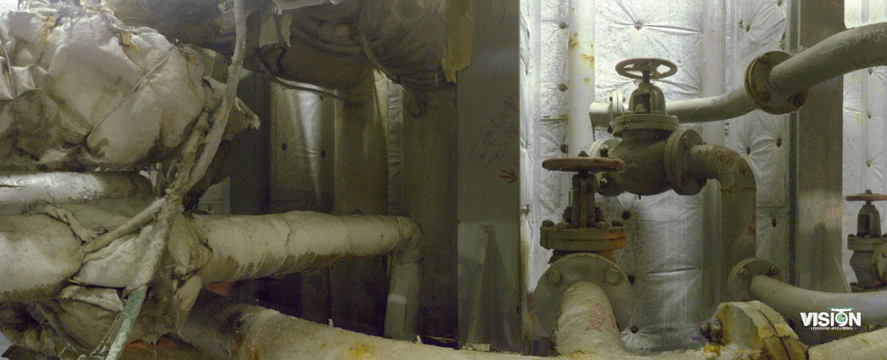
360° documentation
Panoramas at scan positions for remote inspection and project records.
360° JPGWeb viewer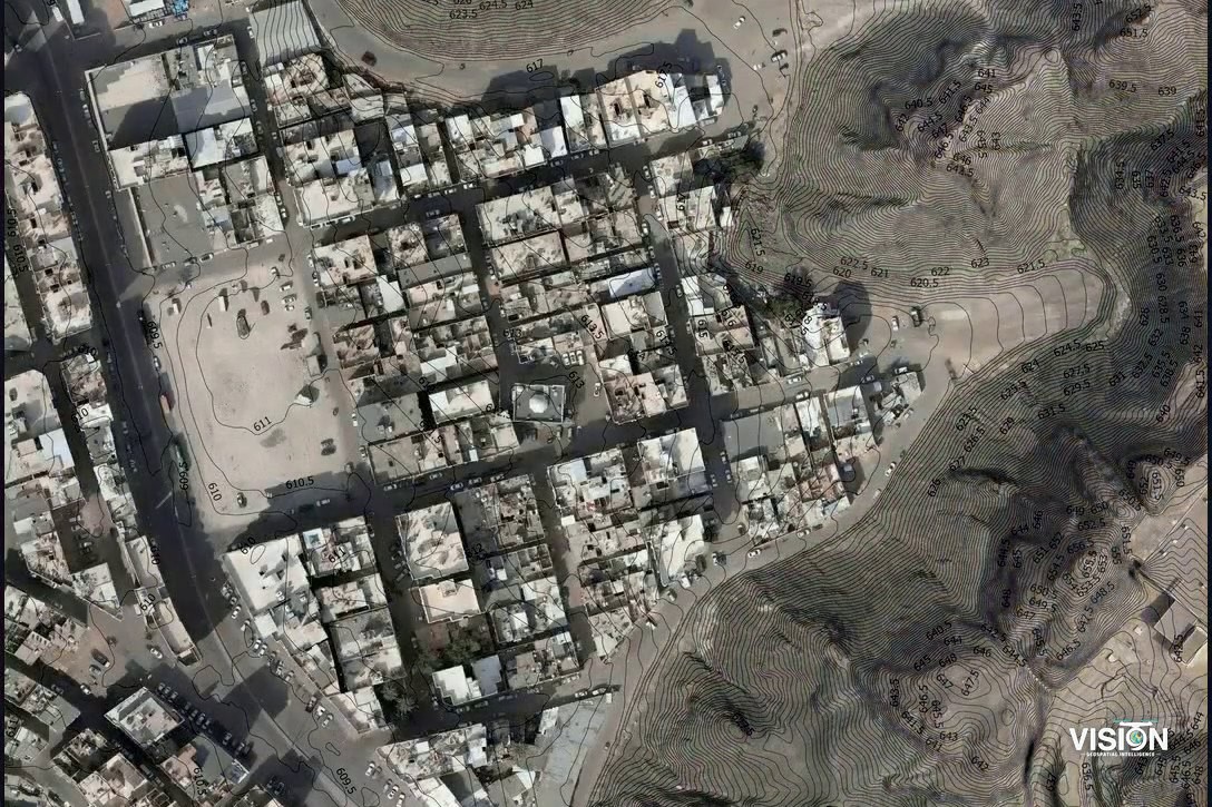
GIS datasets
Geodatabases, layers and maps for planning and analysis.
GDBSHPGPKGDeliverables compatible with engineering software
BIM
RVTIFCCAD
DWGDXFPDFPoint Cloud
E57RCPLASLAZ Autodesk RevitRVT, IFC
 AutoCADDWG, DXF
 Autodesk Civil 3DDWG, LandXMLAutodesk ReCapRCP, RCS
 Leica CycloneIMP, E57
 ArcGISGDB, SHP
 QGISGPKG, SHP
Levels of detail
The level of detail is one of the things that decide the cost of drawings and models. Each page shows the levels on an example, with a PDF guide to download.
Samples of our deliverables
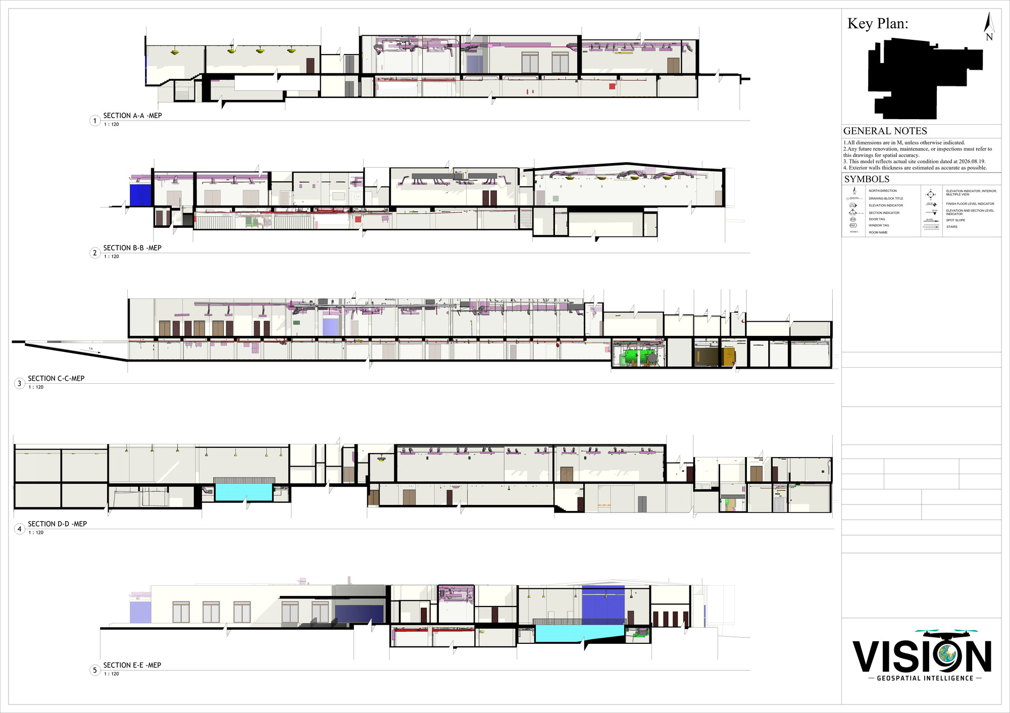
As-built drawings
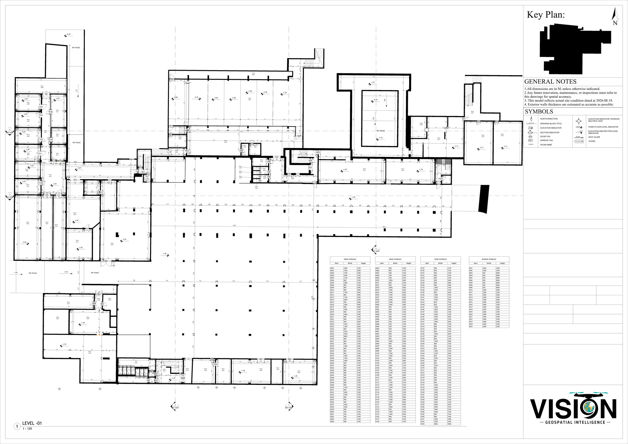
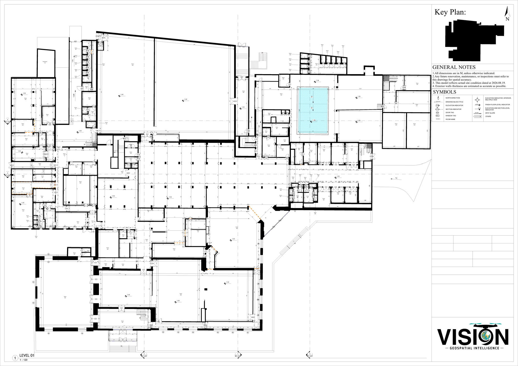
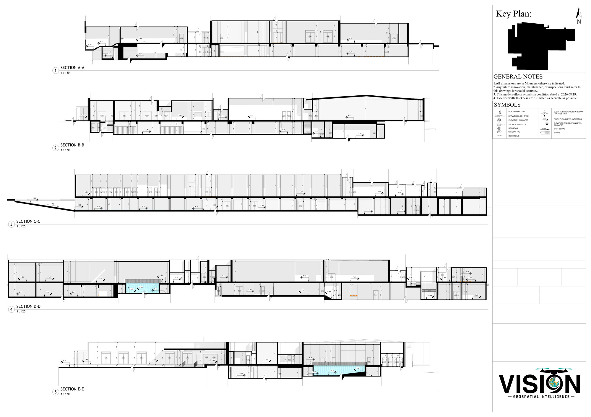
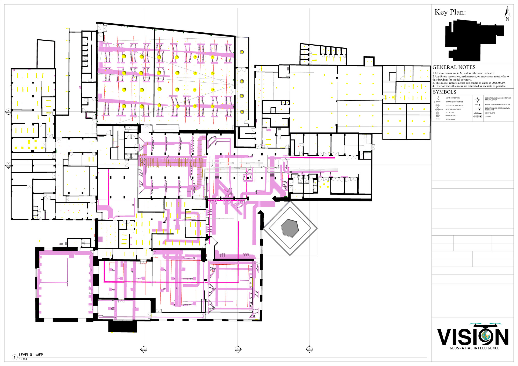
Architectural and MEP plans and sections of an existing building, with door and window schedules, prepared from 3D laser scan data.
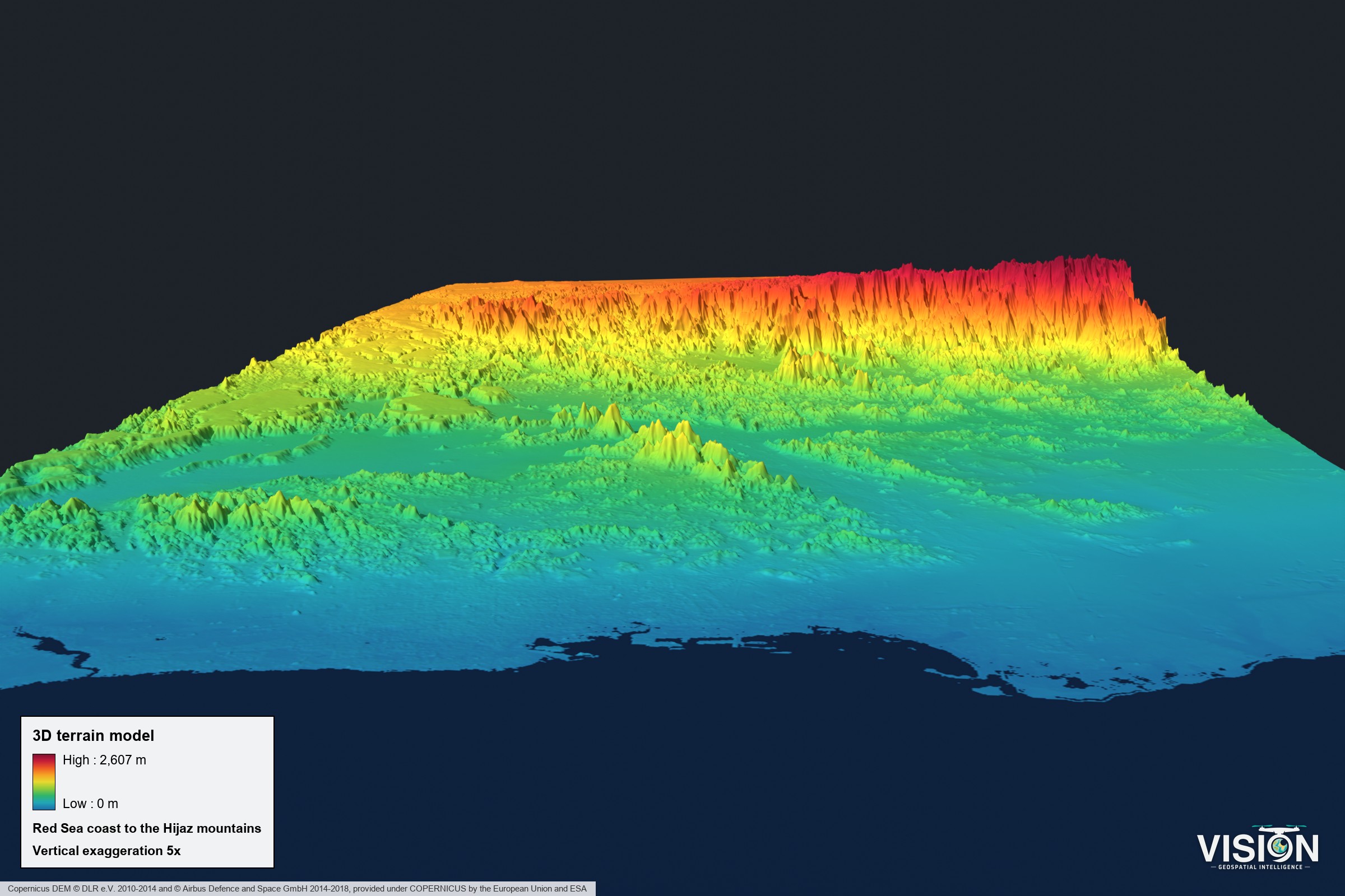
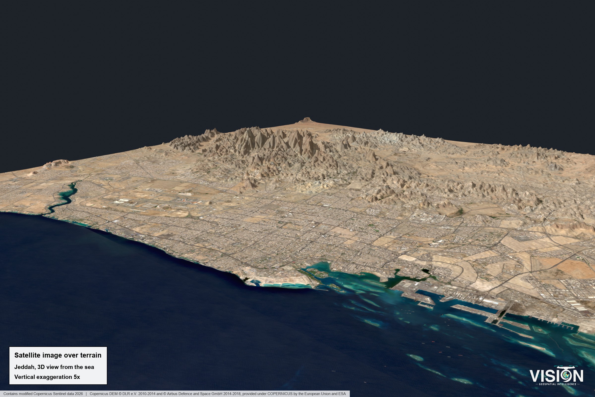
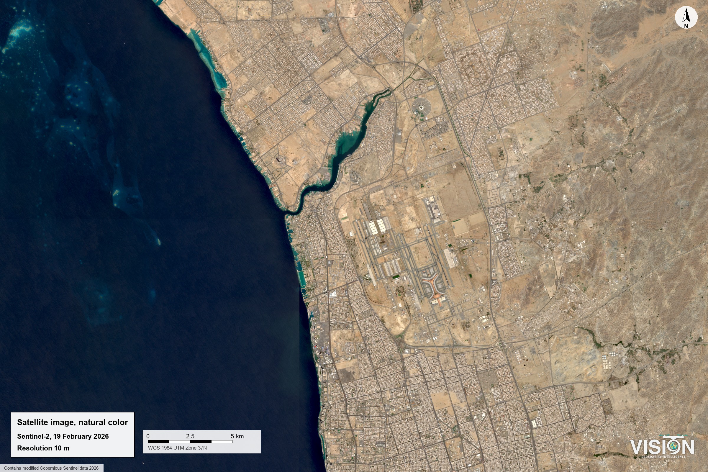
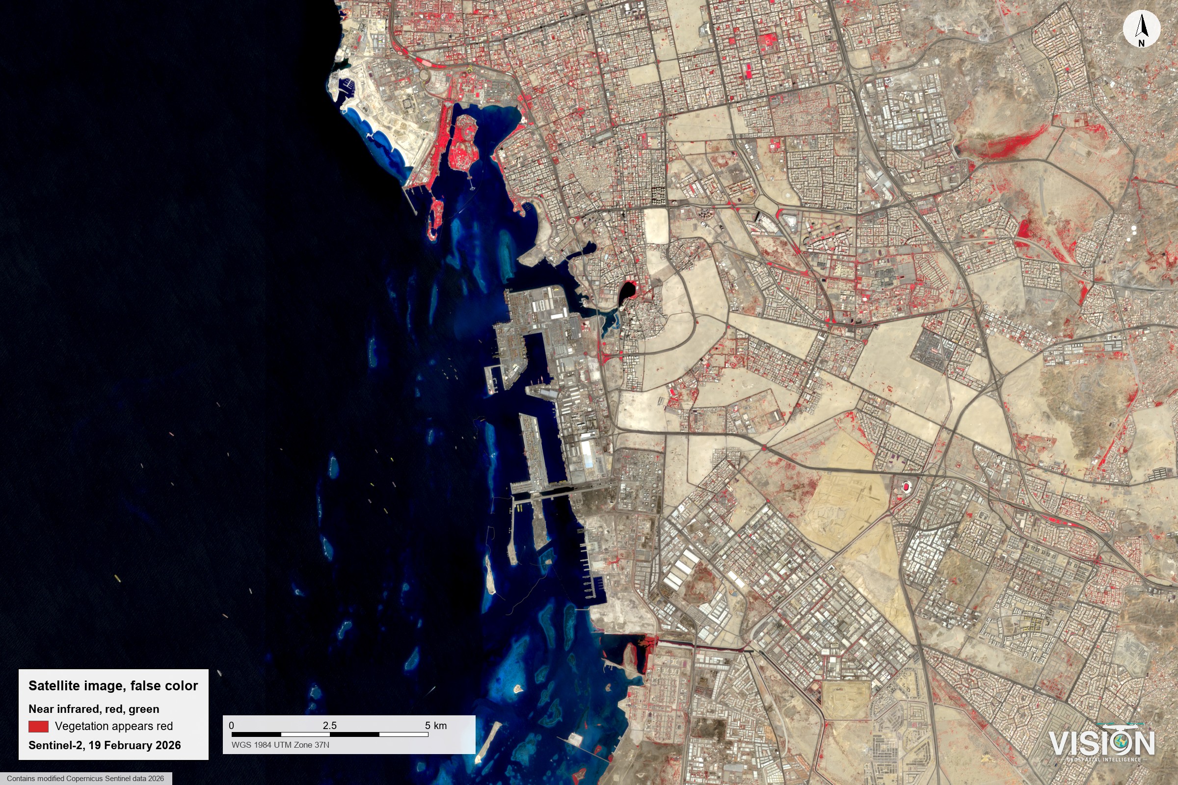
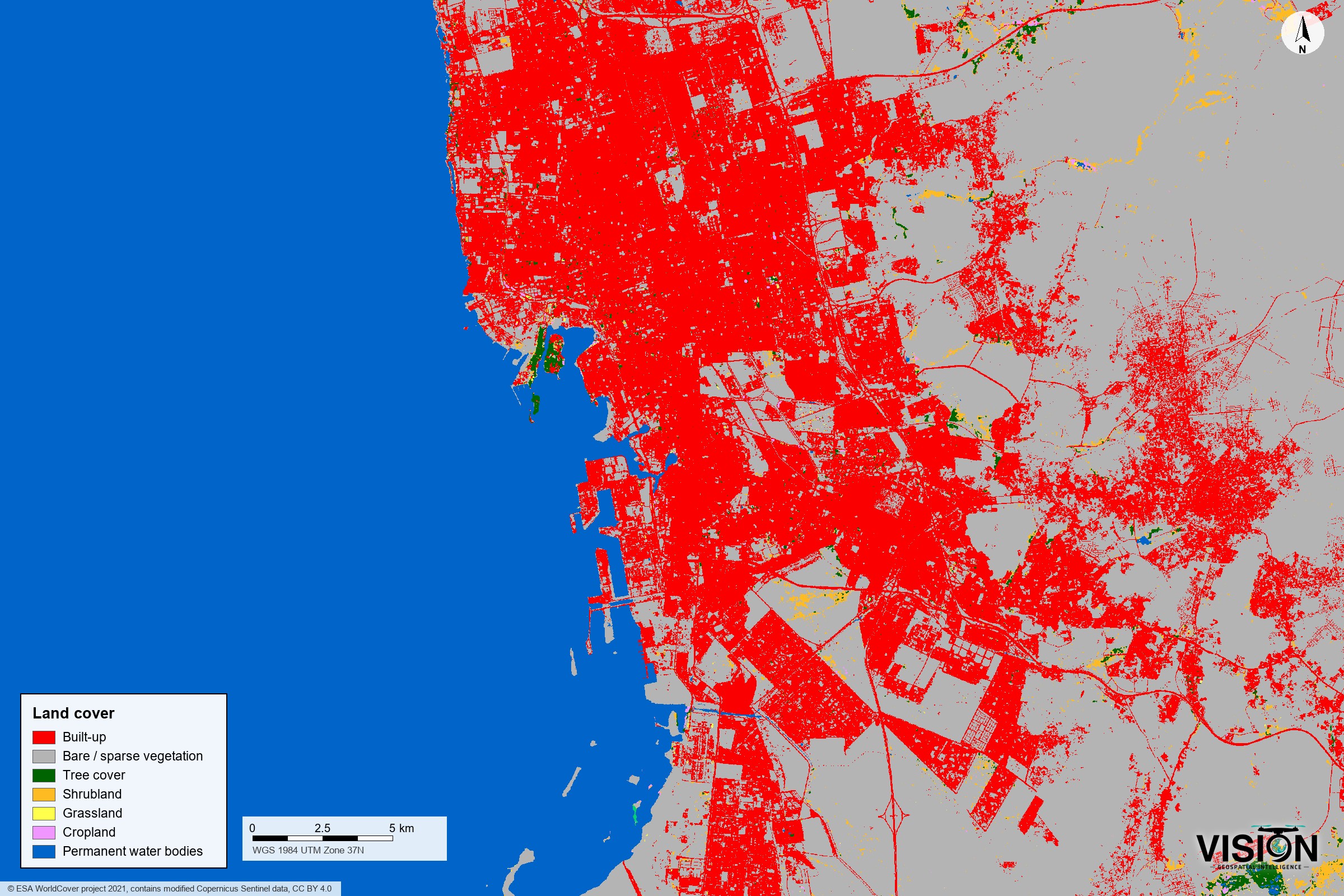
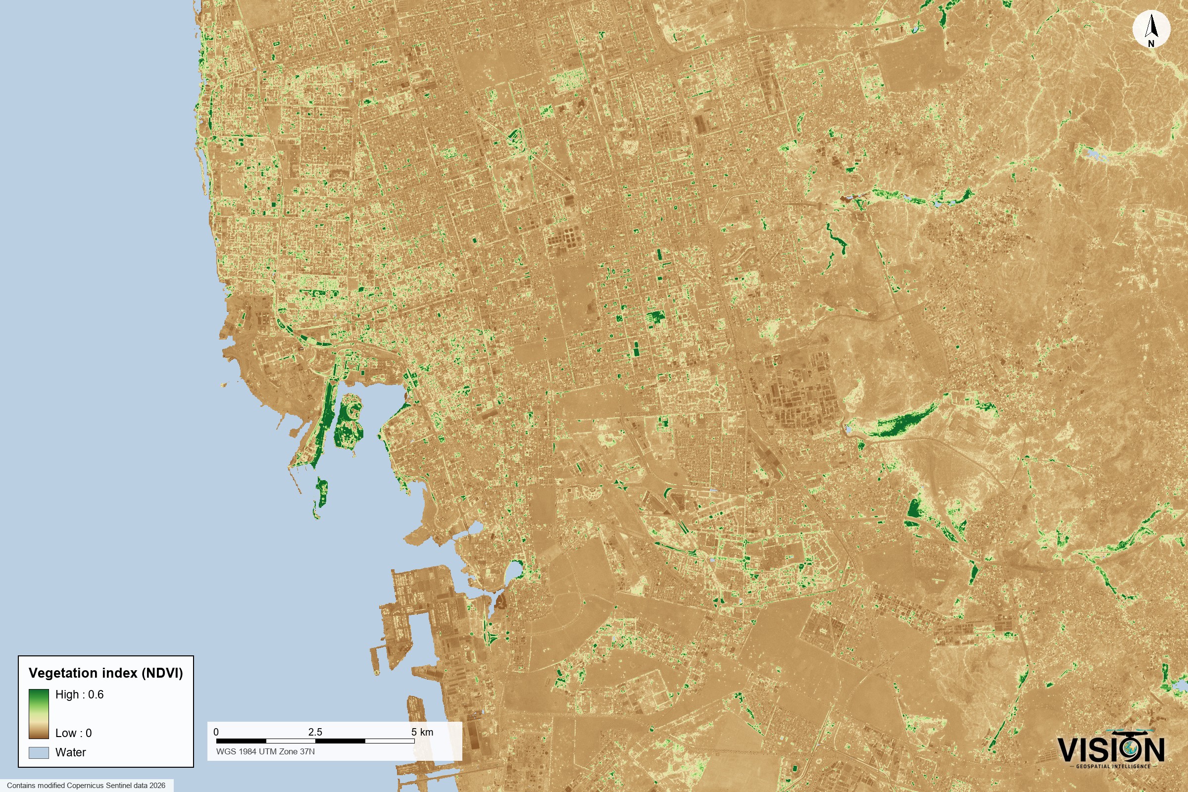
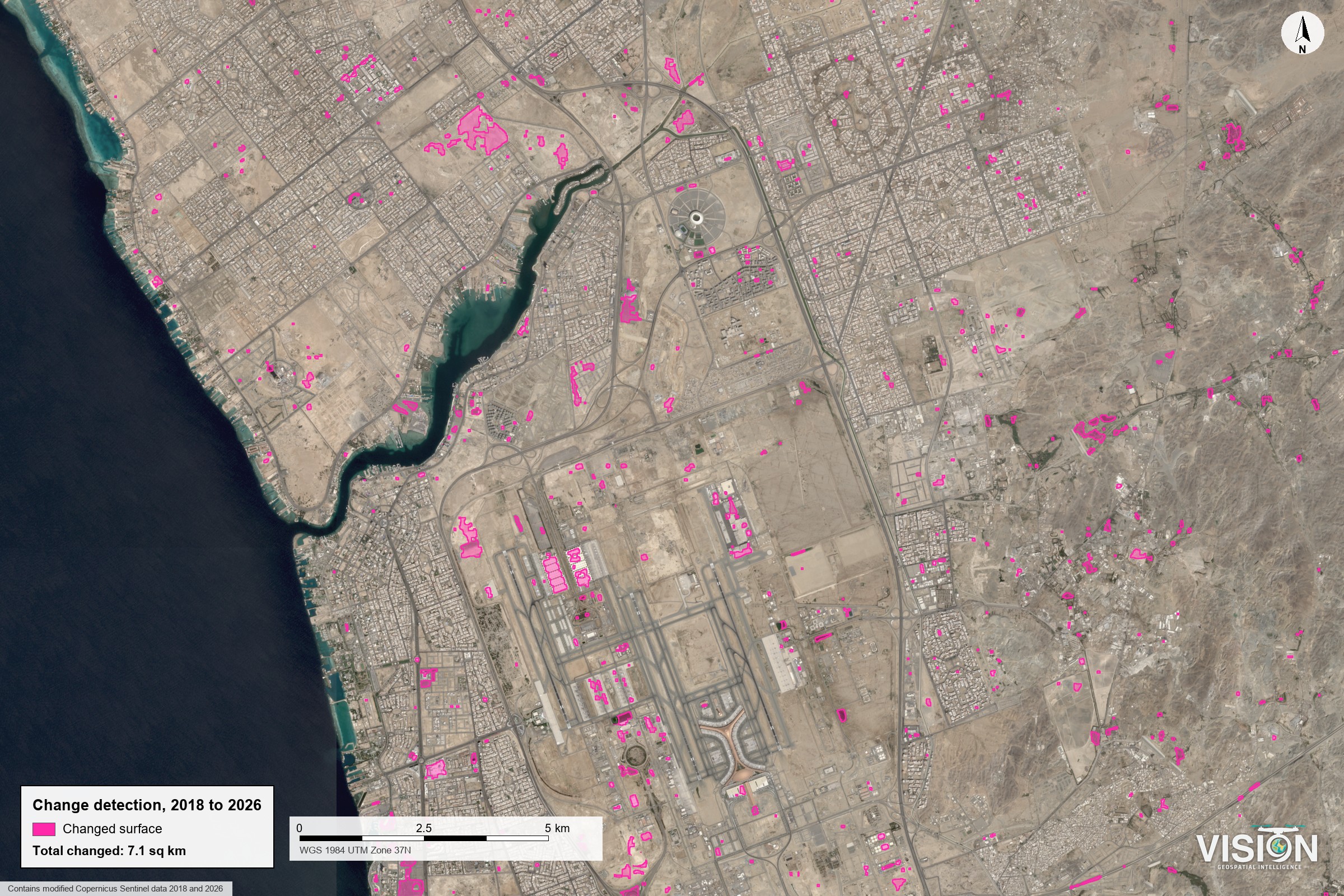
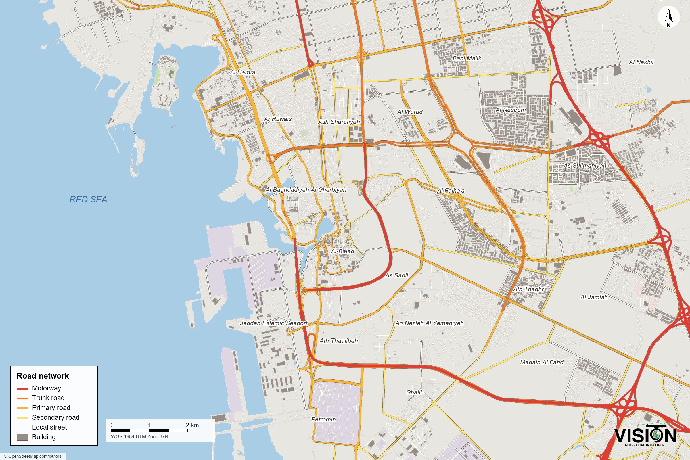
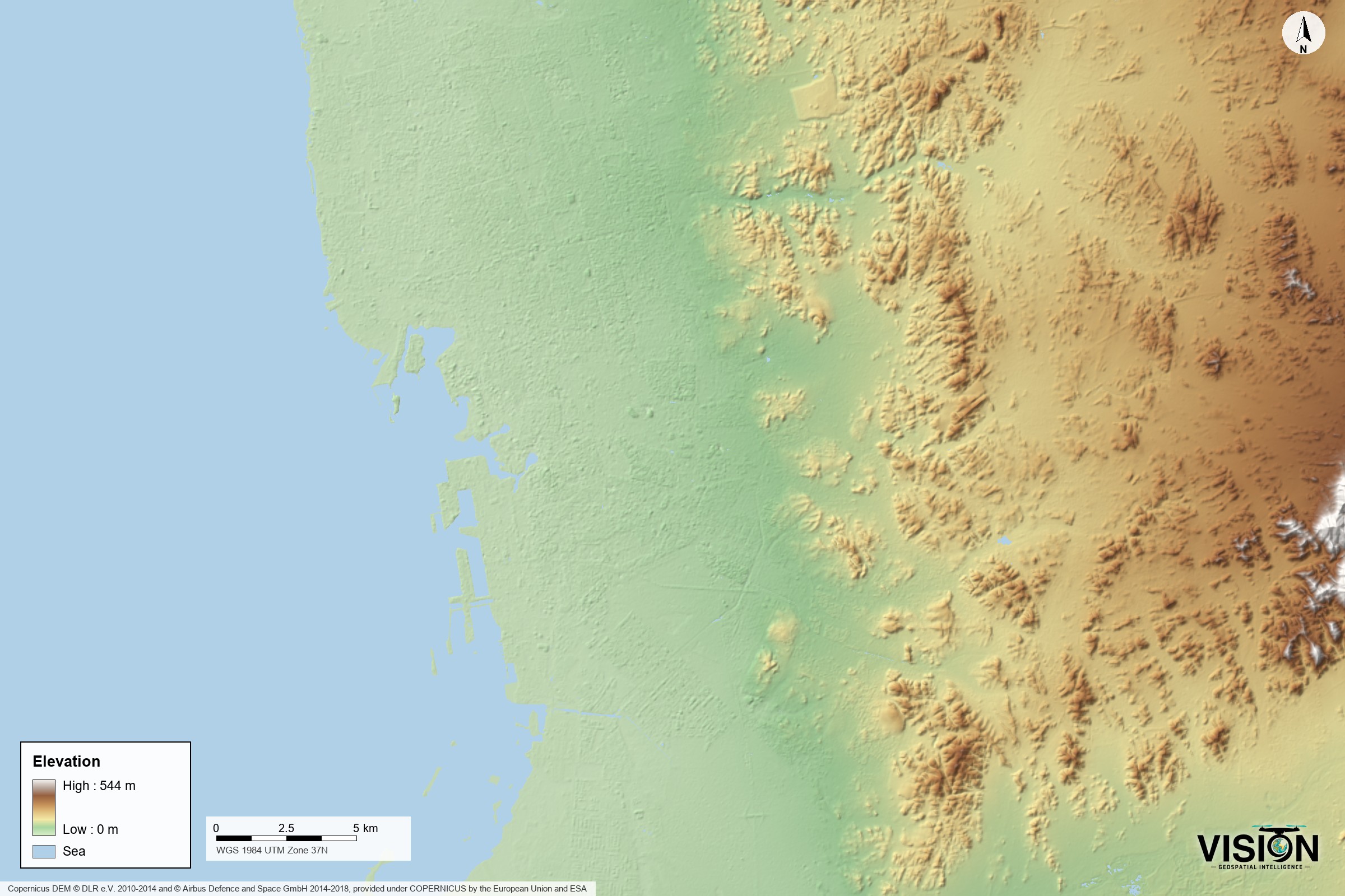
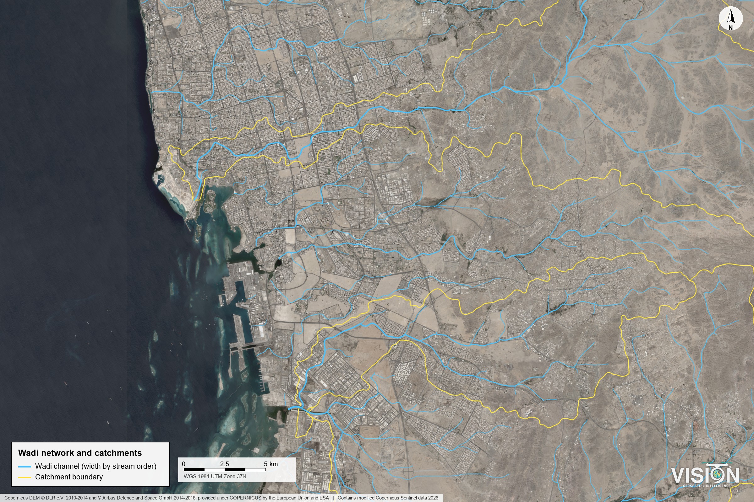
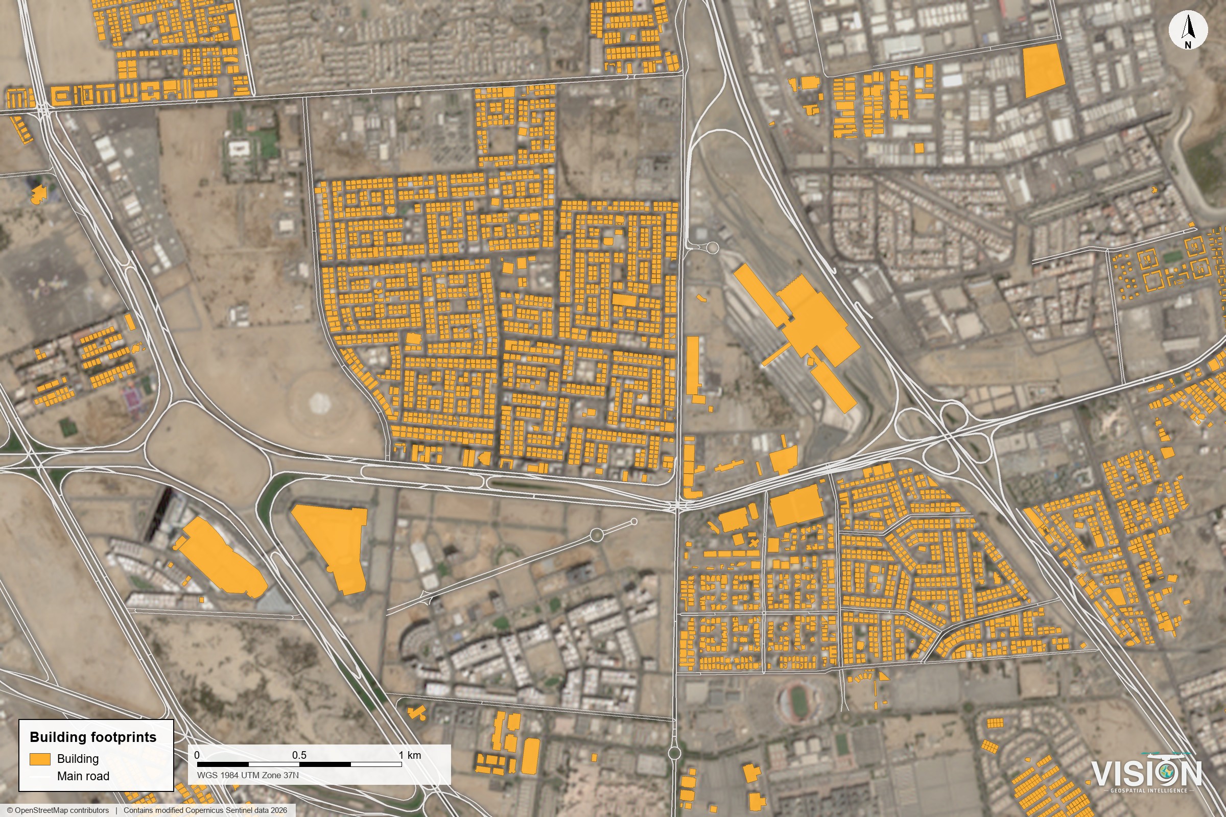
GIS maps and analyses of Jeddah
3D terrain, satellite images, land cover, change detection, road network and wadi catchments of Jeddah, prepared from satellite and open spatial data.
Scoping a project
What we need from you
- Site location and access arrangements
- The purpose of the survey
- The required coordinate system and datum, if any
- Existing drawings, models or previous surveys, if available
- Required formats, level of detail and the deadline
What a delivery includes
- The files, in the formats set in the scope of work
- A survey report covering the control, method, equipment and checks, with registration or processing details where scanning or photogrammetry was used
- A viewable version for teams without specialized software, on request